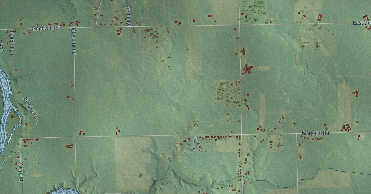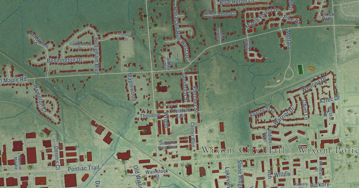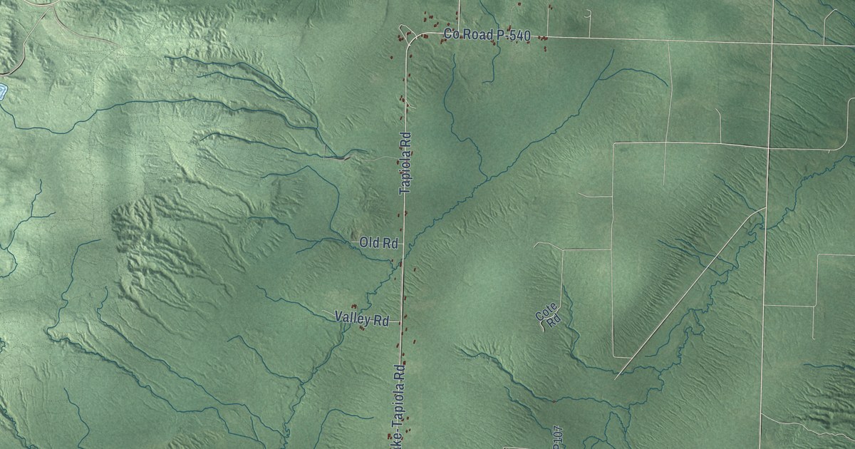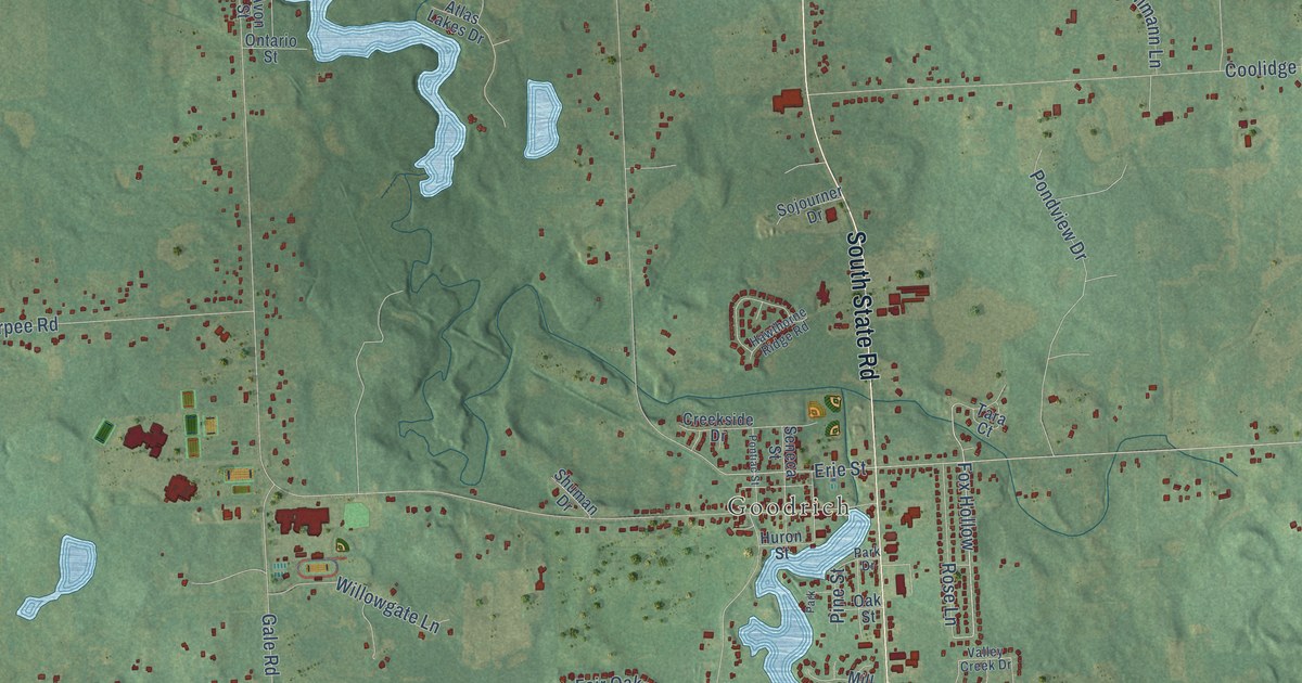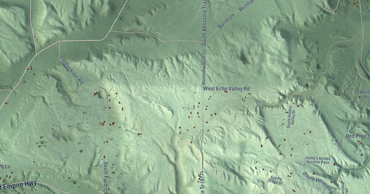
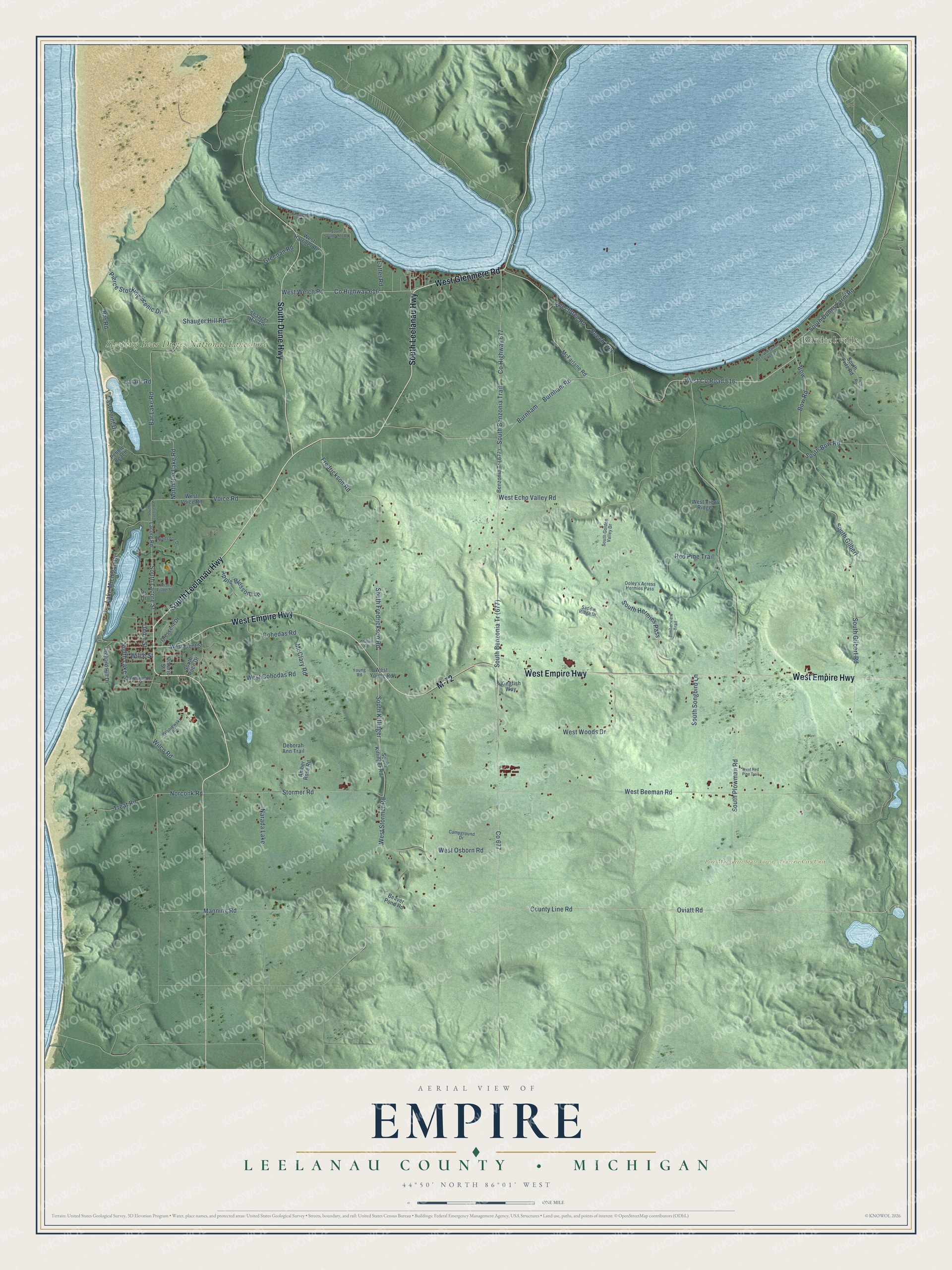
This beautifully detailed map of Empire, Michigan was created in 2026 using aerial imagery combined with modern topographical, census, street and landmark data. It's a modern aerial view of Empire in Leelanau County, Michigan, that combines modern data with a vintage aesthetic. The roads feature printed names, and if you look closely you can find your exact house accurately shown in its correct location.
Explore an aerial view of Empire, Michigan
On this map you'll find Burdickville, Pere Marquette State Forest – Traverse City Unit, Sleeping Bear Dunes National Lakeshore, West Glenmere Road, South Leelanau Highway, M-72, West Empire Highway, South Dune Highway, West Co Road 616, Bow, Bow Road, South Bow Road, and more. Each red shape is a building, so zoom in on the preview and look for yours.
Empire has a story worth telling. The record at arcgis.com puts it this way: "In 1912, with funds from the association, Leelanau County bought a five-acre parcel adjacent to the Methodist Episcopal Church, which was built in 1896."
The Census Bureau counted 1,126 people here in 2020.
Take a closer look at the Empire map
Names on this map
These names are printed on this map.
Places: Burdickville, Pere Marquette State Forest - Traverse City Unit, Sleeping Bear Dunes National Lakeshore and Narada Lake.
Streets and roads: West Glenmere Road, South Leelanau Highway, M-72, West Empire Highway, South Dune Highway, West County Road 616, Bow, Bow Road, South Bow Road, County Line Road, Oviatt Road, South Lacore Street.
More street names, A to Z
Amber Rose Road, Apple Blossom Lane, Aylsworth Street, Bar Lake Road, Bar Road, Beaver Pond Road, Beech Tree, Beechtree Road, Burnham, Burnham Road, Campground Drive, Cohedas Road, County Highway 616, County Highway 677, Crescent Drive, Deborah Ann Trail, East Point Drive, Erie Street, Fredrickson Road, Fritz Road, Greenan Road, Kingfish Way, Lacore Road, Lake Michigan Drive, Larahr Road, Latter Road, Manning Road, McClary Road, McFarlane Road, Norconk Road, North Bar Lake Road, Ontario Street, Ooley's Acress Hermies Pass, Orchard Hill Drive, Pebble Beach, Pierce Stocking Scenic Drive, Pr Drive, Red Pine Trail, Saddle Ridge Drive, Shaager Hill Road, Shauger Hill Road, Shorebird Lane, South Benzonia Trail, South Dunns Farm Road, South Fredrickson Road, South Fritz Road, South Gilbert, South Gilbert Road, South Golden Valley Drive, South Hermies Pass, South Kitlinger, South Kitlinger Road, South Lacore Road, South Lake Street, South Plowman Road, South Roen Drive, South Songbird Lane, South Southpoint Road, Stormer Road, Timberview Trail, Treat Road, Union Street, Voice Road, West Beeman Road, West Cohodas Road, West Echo Valley Road, West Fisher Street, West Front Street, West Harriger Road, West Osborn Road, West Red Pine Trail, West Stormer Road, West View Ridge, West Voice Road, West Welch Road, West Whispering Pines Lane, West Woods Drive, West Young Road, Whiting Road, Wilce Street, Wilco Road, Windsong Drive, Wisniewski Road, Young Road.
Created by KNOWOL in 2026. The buildings are small red shapes, the roads carry their printed names, and shaded relief shows the shape of the land. The title panel reads "AERIAL VIEW OF EMPIRE, LEELANAU COUNTY • MICHIGAN" with 44°50' NORTH 86°01' WEST.
It looks right in a kitchen, an office or a den, and it's a gift for anyone who grew up in Empire or moved away. Open the preview and find your street. See sizes and frames for the Empire, Leelanau County map.