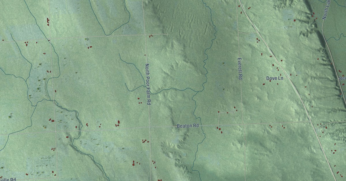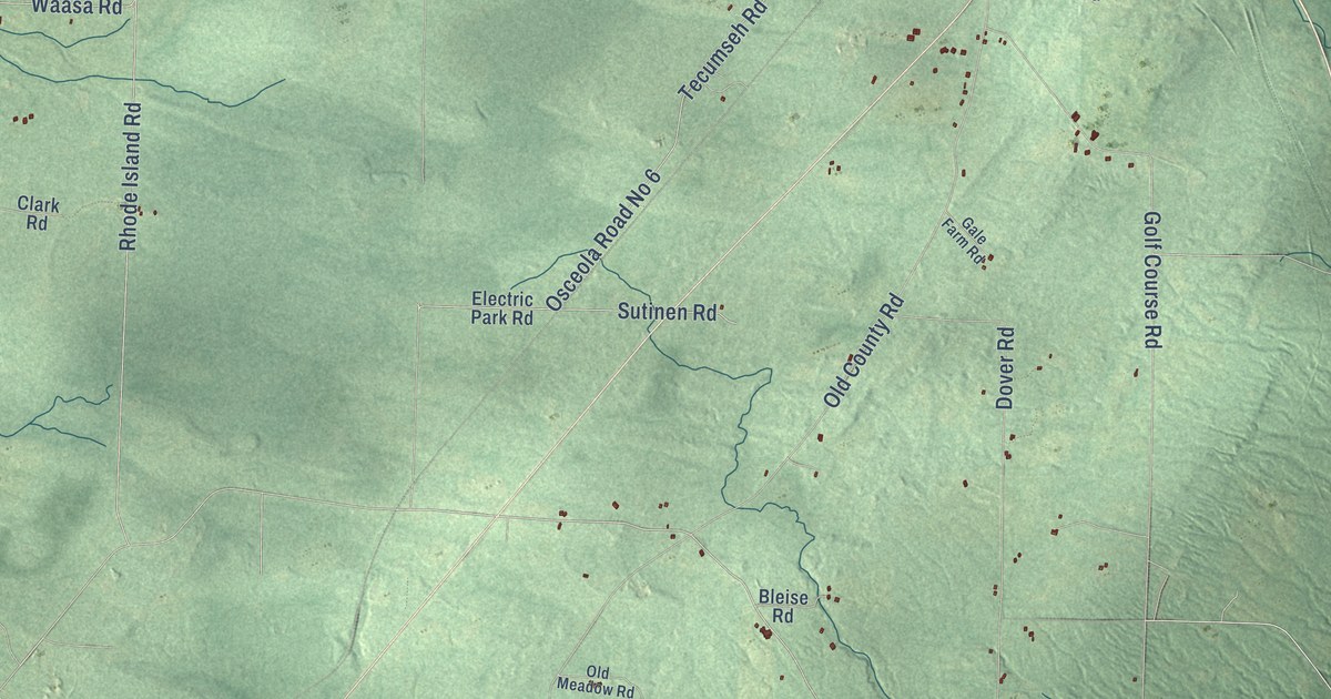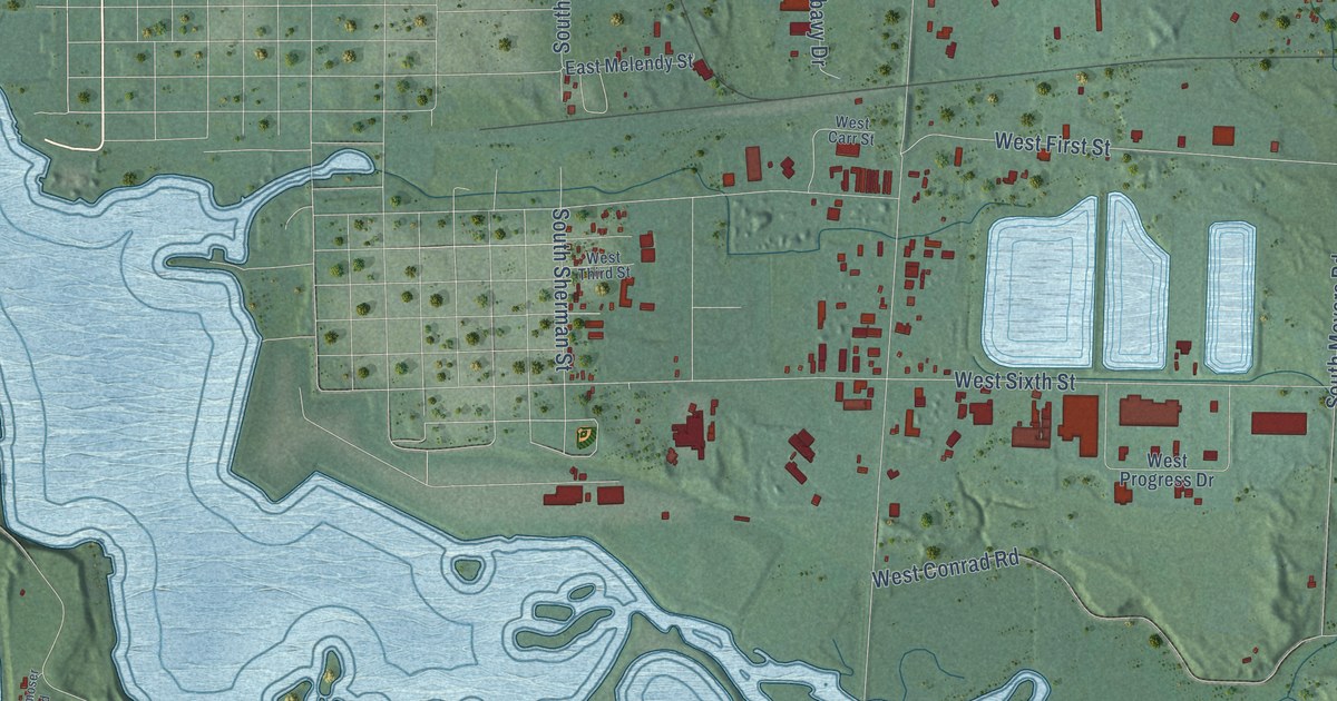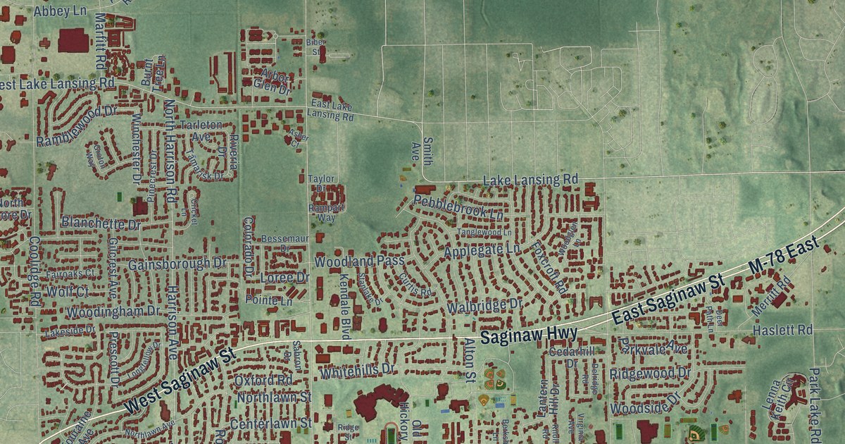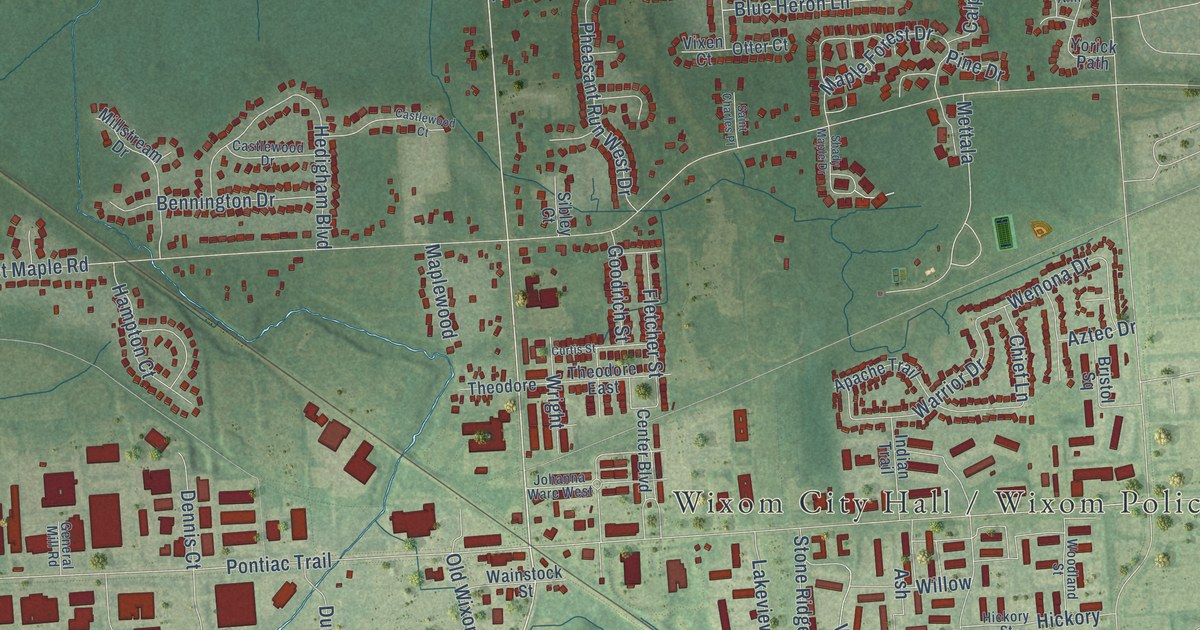
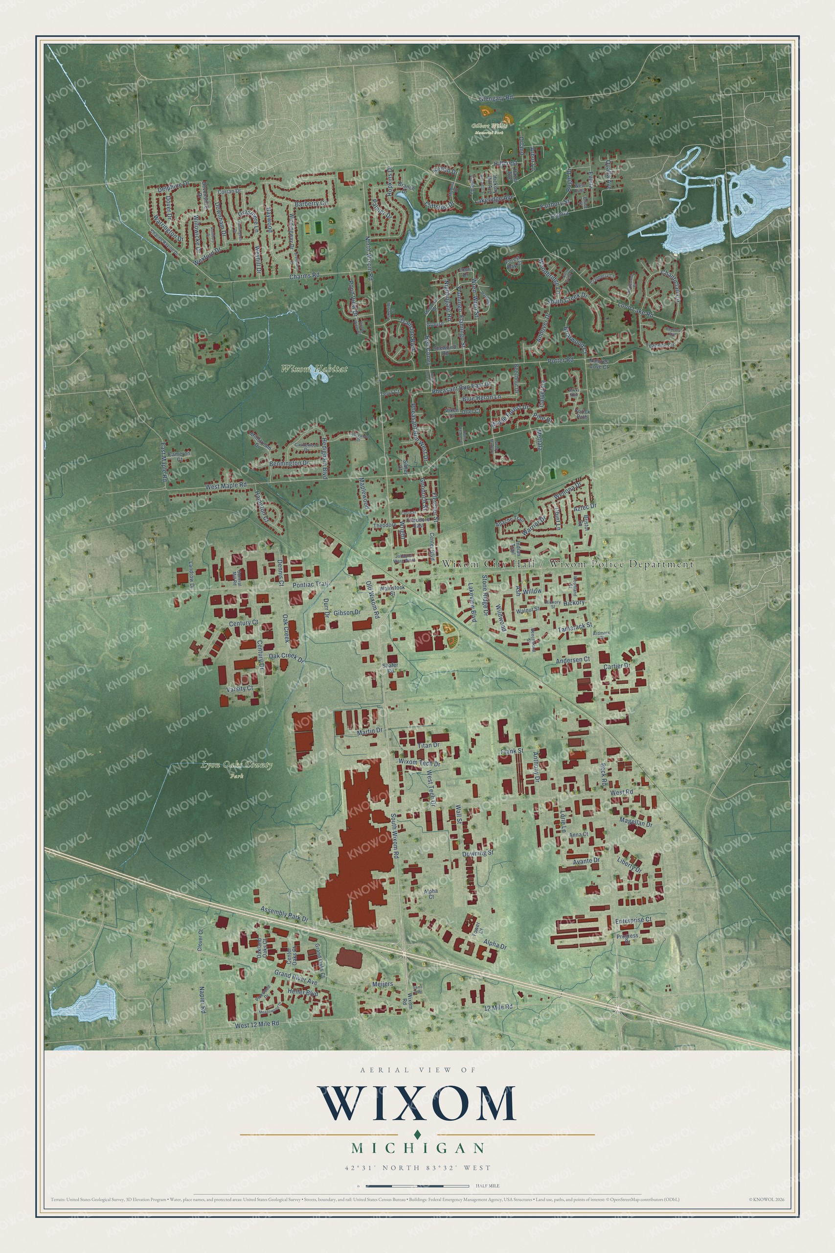
This beautifully detailed map of Wixom, Michigan was created in 2026 using aerial imagery combined with modern topographical, census, street and landmark data. It's a modern aerial view of Wixom in Oakland County, Michigan, that combines modern data with a vintage aesthetic. The roads feature printed names, and if you look closely you can find your exact house accurately shown in its correct location.
Explore an aerial view of Wixom, Michigan
On this map you'll find Wixom City Hall / Wixom Police Department, Gilbert Willis Memorial Park, Lyon Oaks County Park, Wixom Habitat, South Wixom Road, North Wixom Road, Downham Drive, Assembly Park Drive, Pheasant Run East Drive, Stone Ridge Drive, Mettala, Beck Road, and more. Each red shape is a building, so zoom in on the preview and look for yours.
Wixom has a story worth telling. The History of Oakland County puts it this way: "Upon the line of the Holly, Wayne and Monroe railroad are the villages of Novi Corner and Wixom, the former lying wholly and the latter in part within the boundaries of Novi."
Wixom is a city in Oakland County. The Census Bureau counted 17,193 people here in 2020.
Take a closer look at the Wixom map
Names on this map
These names are printed on this map.
Places: Gilbert Willis Memorial Park, Lyon Oaks County Park and Wixom Habitat.
Streets and roads: South Wixom Road, North Wixom Road, Downham Drive, Assembly Park Drive, Pheasant Run East Drive, Stone Ridge Drive, Mettala, Beck Road, Loon Lake Road, West Maple Road, Pontiac Trail, Charms Road.
More street names, A to Z
12 Mile Road, Alpha Court, Alpha Drive, Andersen Court, Andover Drive, Anna Court, Anthony Drive, Apache Trail, Arbor Lane, Ardmore Court, Ash, Avante Drive, Aztec Drive, Barberry Circle, Baywood, Beechnut Drive, Beechwood Street, Bell Coney, Bennington Drive, Black Locust Drive, Blue Heron Lane, Bogie Drive, Branch Drive, Brentwood Drive, Briarwood Court, Bristol Square, Bruce Street, Calpernia, Cameron Court, Cartier Drive, Castlewood Court, Castlewood Drive, Center Boulevard, Center Oaks Court, Century Court, Century Drive, Chanticlair Circle, Charms Ravine Drive, Cherrystone Court, Chief Lane, Cliffside Drive, Clover Court, Corran Drive, Cranberry Court, Curtis Street, Delphine Drive, Dennis Court, Devonshire Drive, Dover Drive, Downing Street, Durr Drive, East Maple Road, Enterprise Court, Evona, Fairbury Street, Flamingo, Flamingo Street, Fletcher Street, Forest Bay Court, Frank Street, General Mill Road, Gibson Drive, Glengary Road, Goodrich Street, Grand Oaks Court, Grand River Avenue, Grasmere Lane, Grouse, Hampton Court, Hazel Avenue, Hedigham Boulevard, Helfer Boulevard, Hickory, Hickory Hill Avenue, Hickory Street, Hillcrest, Hopkins Drive, Huntingdon Drive, Indian Trail, Johanna Ware West, Kenan Drive, Lakeridge Avenue, Lakeside Court, Lakeview Boulevard, Lamella, Landrow Drive, Liberty Drive, Loon Drive, Lorie Lane, Lyonia, Maganser Drive, Magellan Drive, Maple Forest Drive, Maplewood, Mariposa, Martin Drive, Meadowood Drive, Medina Drive, Meijers, Millstream Drive, Napier Road, Natures Cove Court, Nightingale Road, North Creek Drive, Oak Creek, Oak Creek Drive, Oakland Oaks Court, Old Wixom Road, Orland, Otter Court, Palmer Drive, Pheasant Run West Drive, Pine Drive, Pinewood Drive, Pond View Court, Pond View Drive, Potter Road, Progress Drive, Qualla Avenue, Rikki Ann, Rothbury Drive, Roxbury Run, Royalton Street, Saint Charles Place, Sams Way, Shady Maple Drive, Shafer Road, Shewbird Road, Sibley Court, South Creek Drive, Tamarack Street, Teaneck Circle, Terra Court, Theodore, Theodore East, Titan Drive, Tower Court, Trailside Boulevard, Varsity Court, Vixen Court, Wainstock Street, Wall Street, Walnut Street, Warrington Drive, Warrior Drive, Wenona Drive, West 12 Mile Road, West Euna, West Road, West Tech Drive, Wexford Drive, Weyhill Drive, Wildwood, Willow, Willowicke Drive, Windingway Drive, Wixom Road, Wixom Tech Drive, Woodbridge Lane, Woodland Street, Wren, Wren Street, Wright, Yorick Path.
Created by KNOWOL in 2026. The buildings are small red shapes, the roads carry their printed names, and shaded relief shows the shape of the land. The title panel reads "AERIAL VIEW OF WIXOM, MICHIGAN" with 42°31' NORTH 83°32' WEST.
It looks right in a kitchen, an office or a den, and it's a gift for anyone who grew up in Wixom or moved away. Open the preview and find your street. See sizes and frames for the Wixom map.