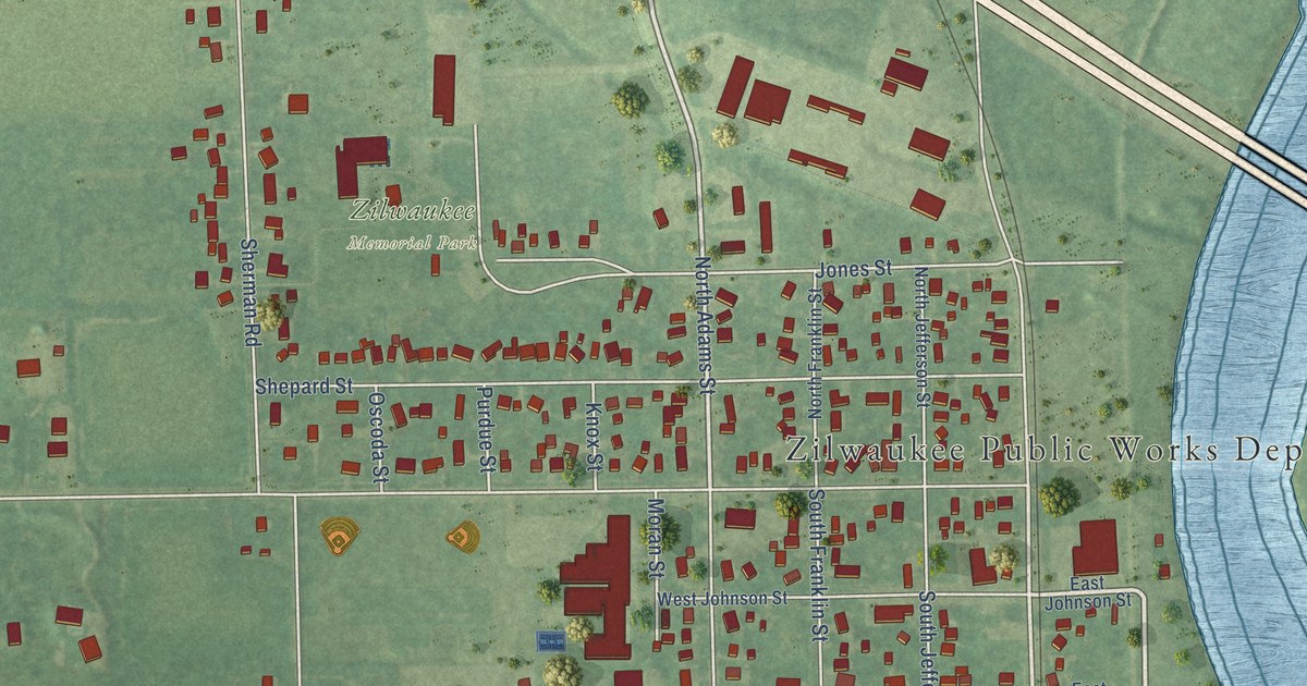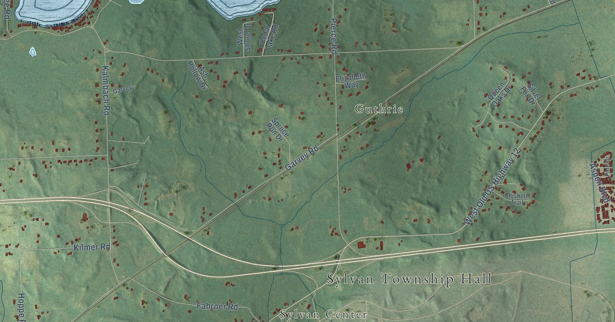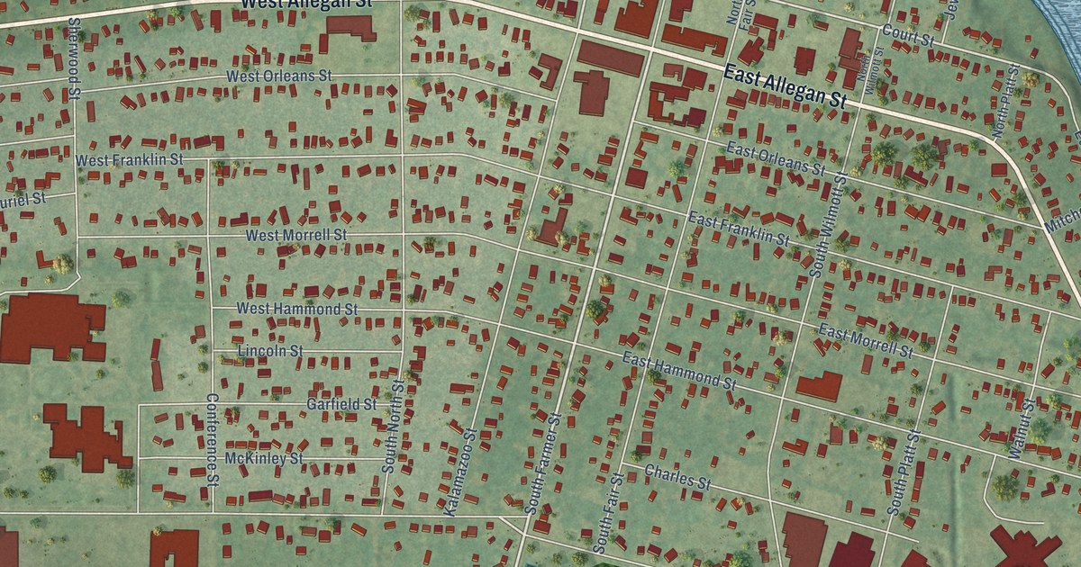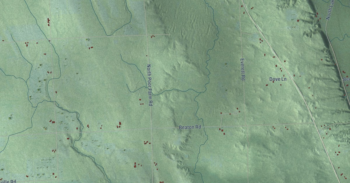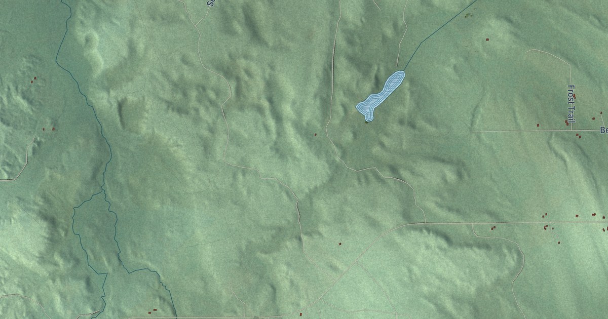
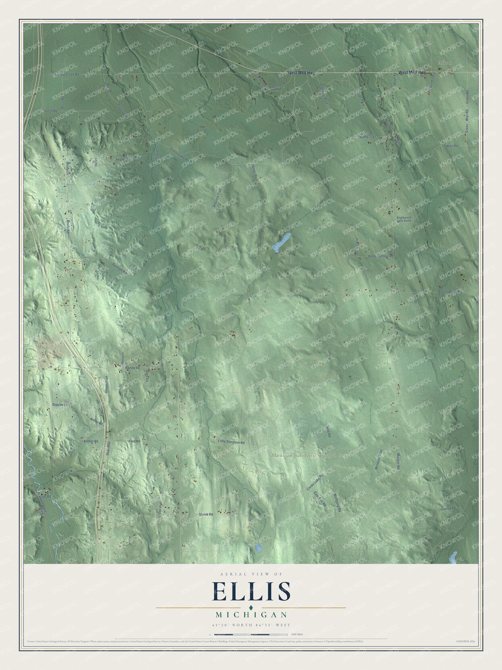
This beautifully detailed map of Ellis, Michigan was created in 2026 using aerial imagery combined with modern topographical, census, street and landmark data. It's a modern aerial view of Ellis in Cheboygan County, Michigan, that combines modern data with a vintage aesthetic. The roads feature printed names, and if you look closely you can find your exact house accurately shown in its correct location.
Explore an aerial view of Ellis, Michigan
On this map you'll find Afton, Mackinaw State Forest – Gaylord Unit, West M68 Highway, Corey Lake Road, East Exit Road, Harvey Road, Garred Road, Anther Road, Ford Road, Afton Road, Goose Lake Road, Brudy Road, and more. Each red shape is a building, so zoom in on the preview and look for yours.
Every town has a first chapter, and Ellis is no exception. The Traverse Region puts it this way: "The town of Ellis was organized by the board of supervisors in 1881 and embraced Township 33 north, of Ranges 1 east and 2 west, and 34 north of Ranges 1 east and 1 and 2 west."
The Census Bureau counted 557 people here in 2020.
Take a closer look at the Ellis map
Names on this map
These names are printed on this map.
Places: Afton and Mackinaw State Forest - Gaylord Unit.
Streets and roads: West M68 Highway, Corey Lake Road, East Exit Road, Harvey Road, Garred Road, Anther Road, Ford Road, Afton Road, Goose Lake Road, Brudy Road, Munger Road, Crumley Creek Road.
More street names, A to Z
Adams Court, Adams Road, Antler Road, Beebe School Road, Brudy Lane, Clarence Extension, Cross, Cross Road, Cut Off Road, Deer Trail, Dey Road, Dove Lane, Dunham Road, Dupree Lane, Englewood Lane South, Frost Trail, Glover Trail, Hastings, Hastings Drive, Hatch Road, Haz Drive, Leisure Lane, Little Sturgeon Road, Pigeon River Road, Pine Trce, Pr Drive, Price Road, River Road, Rondo Road, Scott Road, Sequoia Trail, Shann Road, Shook Road, Slocum Road, South Straits Highway, Swamp Trail, Weir Road, Wenta Lane, Wier Road, Wild Road, Windson Trail, Wolfgang Road, Yogi Bear Boulevard.
Created by KNOWOL in 2026. The buildings are small red shapes, the roads carry their printed names, and shaded relief shows the shape of the land. The title panel reads "AERIAL VIEW OF ELLIS, MICHIGAN" with 45°20' NORTH 84°33' WEST.
Hang it in the hallway, the office or the cabin, or give it to someone who left Ellis and still calls it home. Open the preview and look for a street you know. See sizes and frames for the Ellis map.