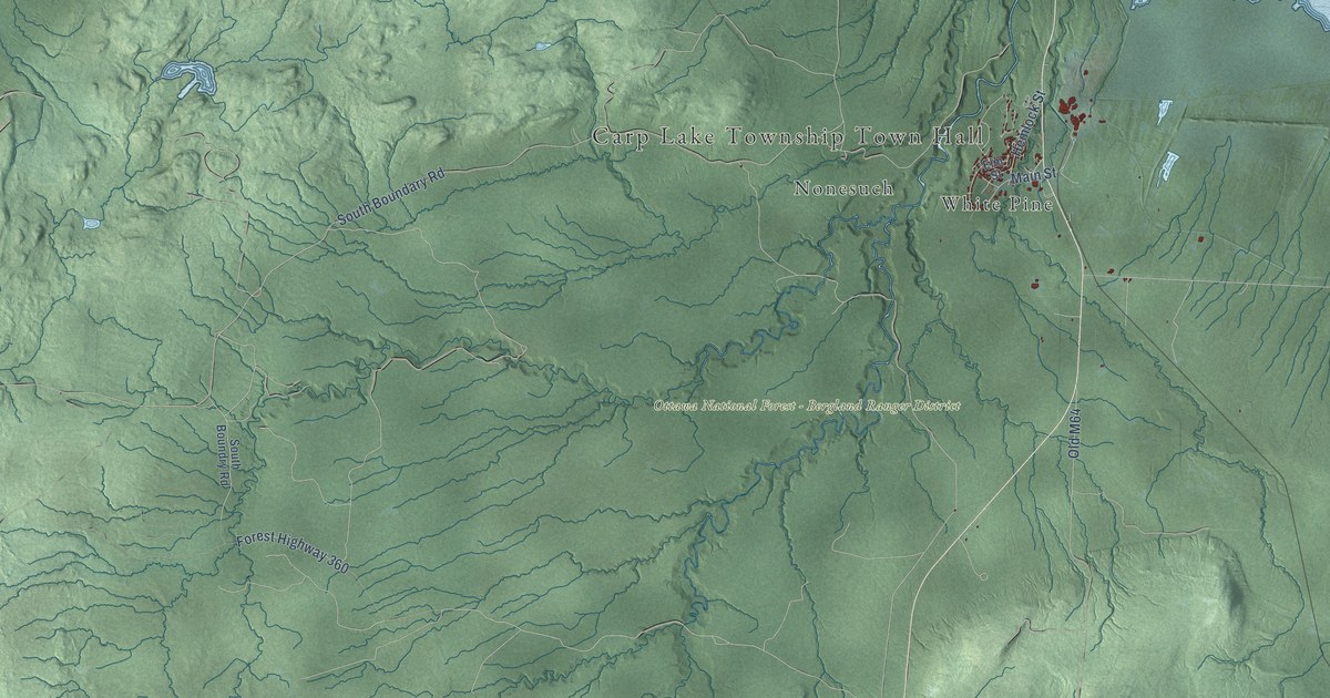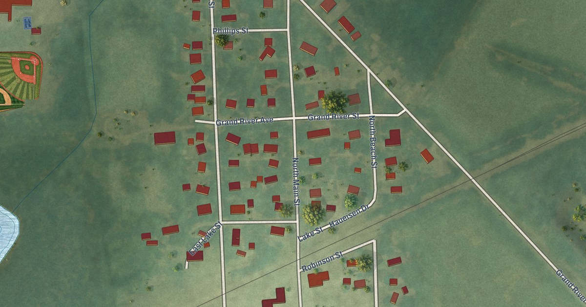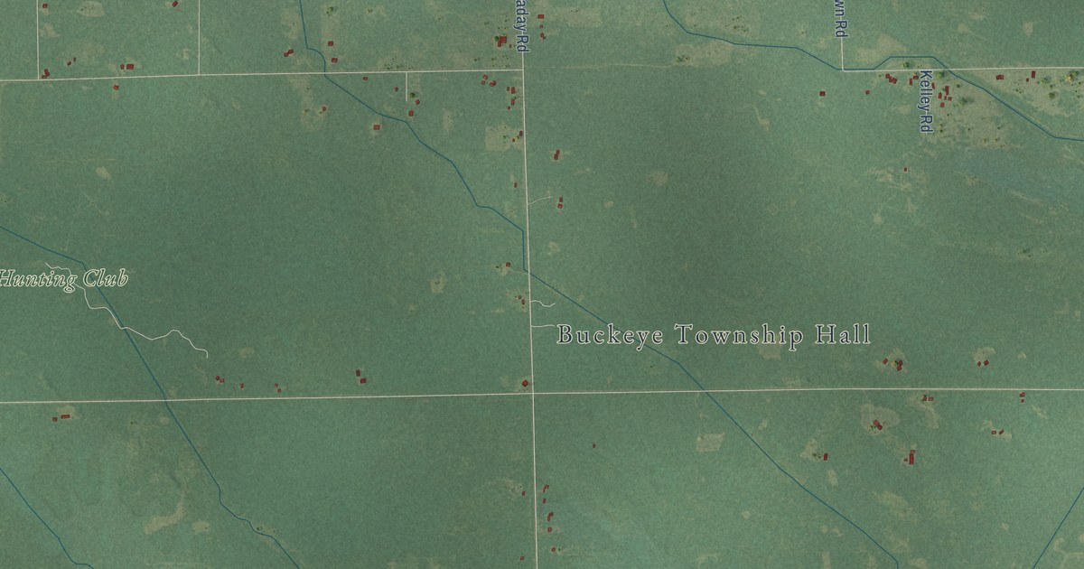
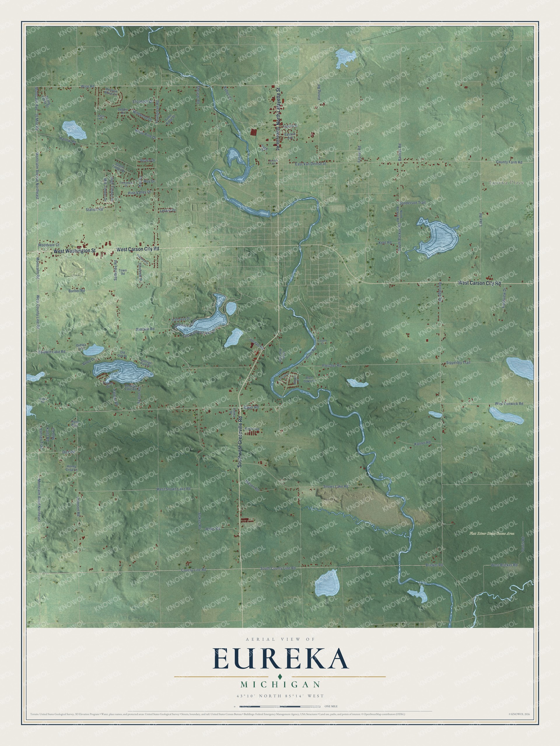
This beautifully detailed map of Eureka, Michigan was created in 2026 using aerial imagery combined with modern topographical, census, street and landmark data. It's a modern aerial view of Eureka in Montcalm County, Michigan, that combines modern data with a vintage aesthetic. The roads feature printed names, and if you look closely you can find your exact house accurately shown in its correct location.
Explore an aerial view of Eureka, Michigan
On this map you'll find Eureka Place, Flat River State Game Area, Southwest Greenville Road, North Lafayette Street, West Carson City Road, West Washington Street, West County Line Road, County Line Road, Montcalm Avenue Northeast, Montcalm Road, Wise Road, Baldwin Lake Road, and more. Each red shape is a building, so zoom in on the preview and look for yours.
Eureka has a story worth telling. The History of Montcalm County puts it this way: "William Porter, who settled near the town line, and on section 7, whose brothers settled in Eureka, came in among the first in the western part of the township."
The Census Bureau counted 4,211 people here in 2020.
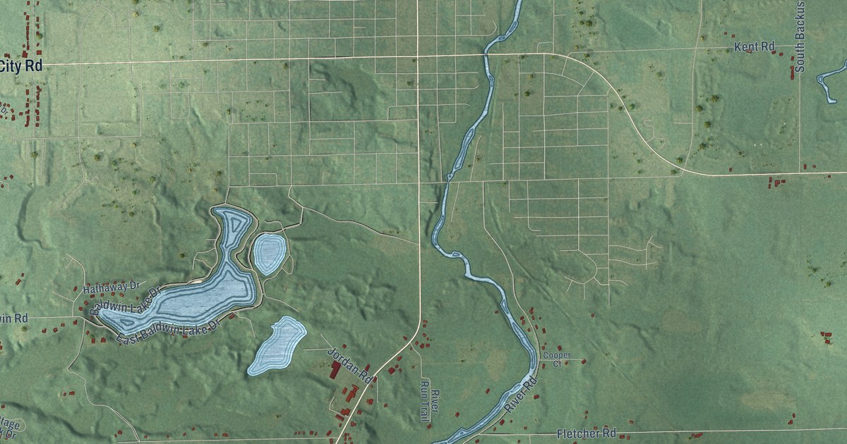
Take a closer look at the Eureka map
Names on this map
These names are printed on this map.
Places: Eureka Place and Flat River State Game Area.
Streets and roads: Southwest Greenville Road, North Lafayette Street, West Carson City Road, West Washington Street, West County Line Road, County Line Road, Montcalm Avenue Northeast, Montcalm Road, Wise Road, Baldwin Lake Road, Shearer Road, Satterlee Road.
More street names, A to Z
16 Mile Road, Adam Hall, Airport Road, Alfred Place, Arloa Drive, Avalon Road, Backus Road, Baker Road, Baldwin Lake Drive, Baldwin Road, Barber Road, Berridge Road, Bricker Road, Burgess Lake Road, Cooper Court, Cottage Park Drive, County Farm Road, Crestview Drive, Debbie Drive, Dick Road, East Baldwin Lake Drive, Eastern Avenue, East Van Deinse Street, Elizabeth Drive, Emma Drive, Eugene Street, Fairview Street, Fawn Ridge Drive, Ferris Road, Fieldview Drive, Fitzner Road, Fletcher Road, Green Timber Drive, Greenville Road, Hansen Trail, Harlow Road, Hathaway Drive, High Timber Drive, Honey Crisp Lane, Jenks Road, Johnson Road, Jordan Road, Karner Road, Kartz Road, Kay Drive, Keiber Road, Kent Road, Kybec Court, Lake Road, Leland Drive, Mason Road, Meadow Wood Circle, Mid Timber Drive, Milo Court, Montcalm Avenue, Montcalm Road Northeast, North Backus Road, Ojibwa Trail, Old Oak Drive, Palmer Drive, Palmer Road, Pine Valley Drive, Ridgewood Drive, Riehl Way, River Oaks Circle, River Road, River Run Trail, Riverside Drive, Roy Drive, Sage Drive, Sanderson Trail, Sipperley Trail, Snows Lake Road, South Backus Road, South County Line Road, Spring Valley Court, Stakes Road, Station Road, Timberline Drive, Town Road, Velma Drive, Vining Road, West Bricker Road, West Fenwick Road, West Snows Lake Road, White Pine Drive, Wildwood Drive, Woodvale Court, Youngman Road.
Created by KNOWOL in 2026. The buildings are small red shapes, the roads carry their printed names, and shaded relief shows the shape of the land. The title panel reads "AERIAL VIEW OF EUREKA, MICHIGAN" with 43°10' NORTH 85°14' WEST.
It looks right in a kitchen, an office or a den, and it's a gift for anyone who grew up in Eureka or moved away. Open the preview and find your street. See sizes and frames for the Eureka map.