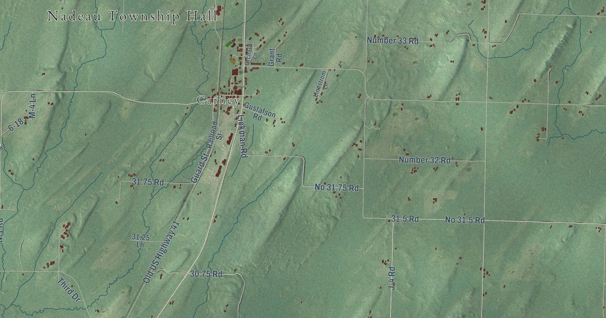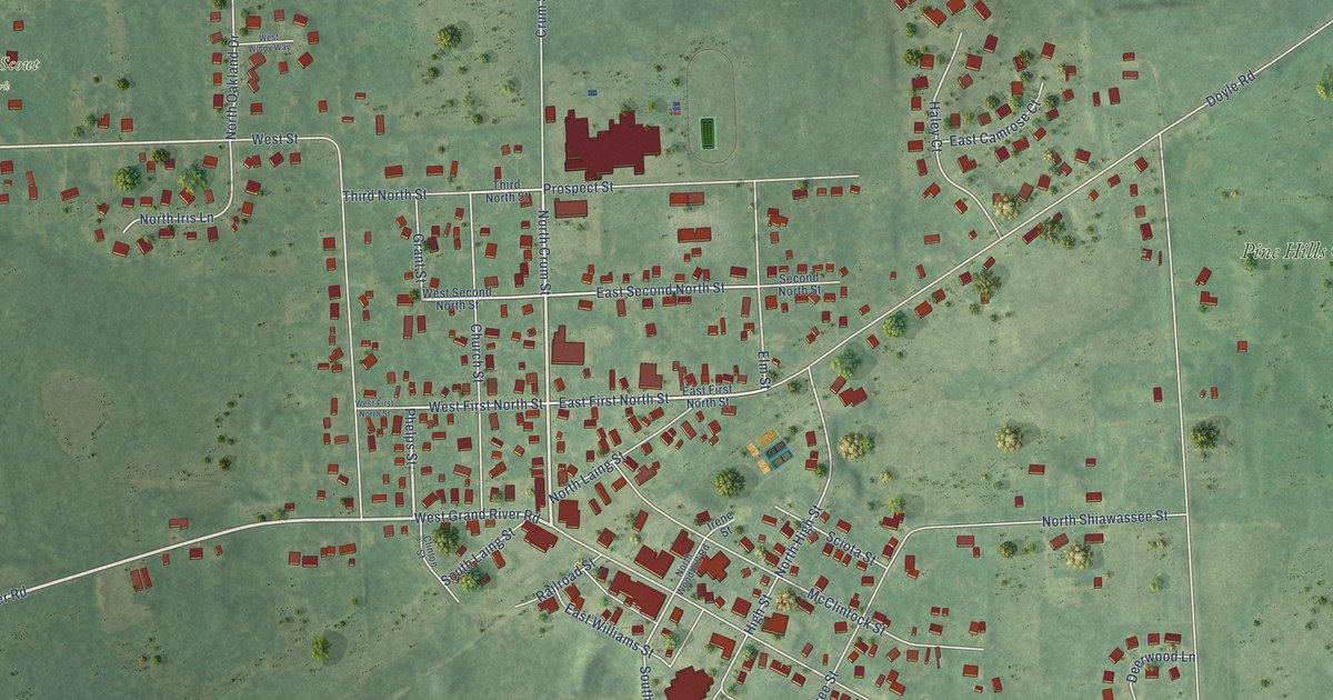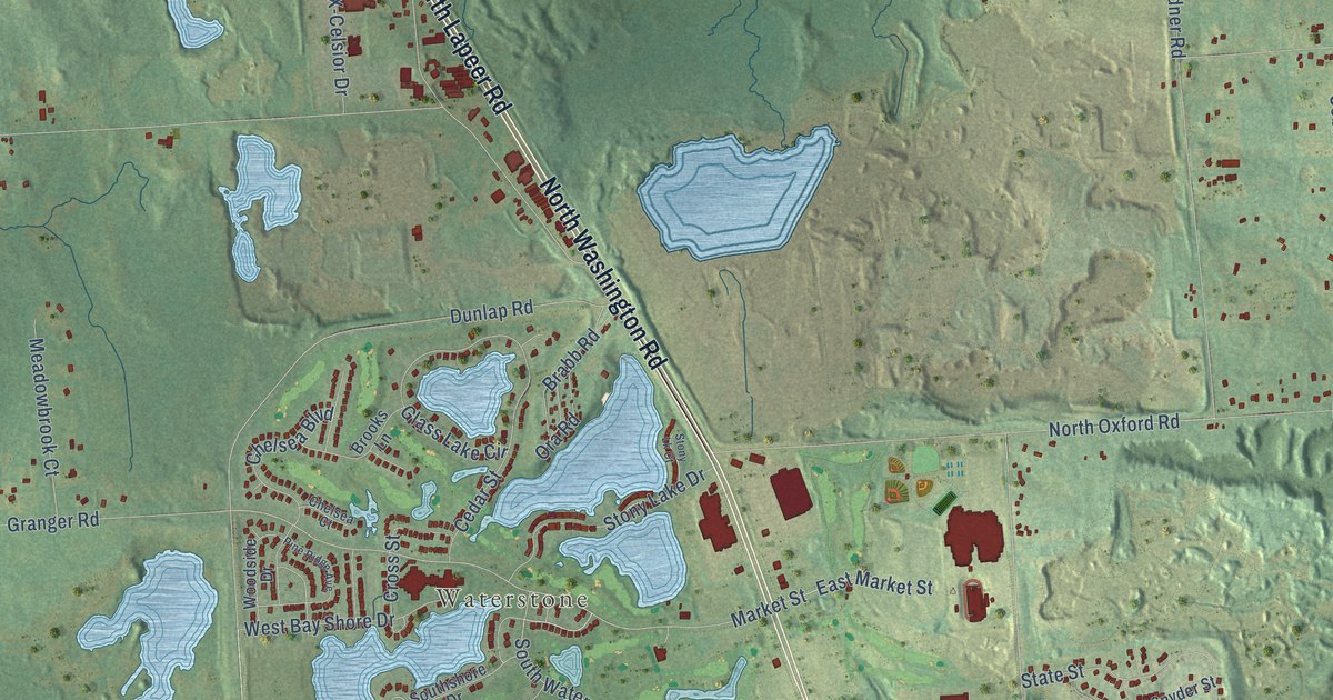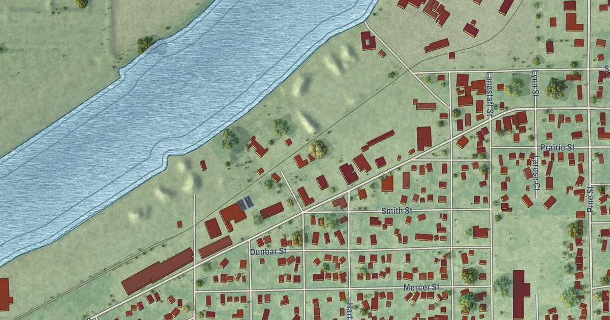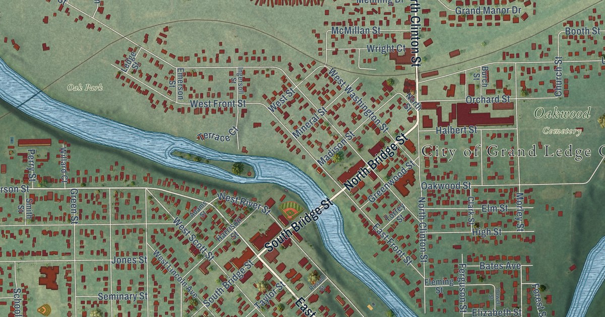
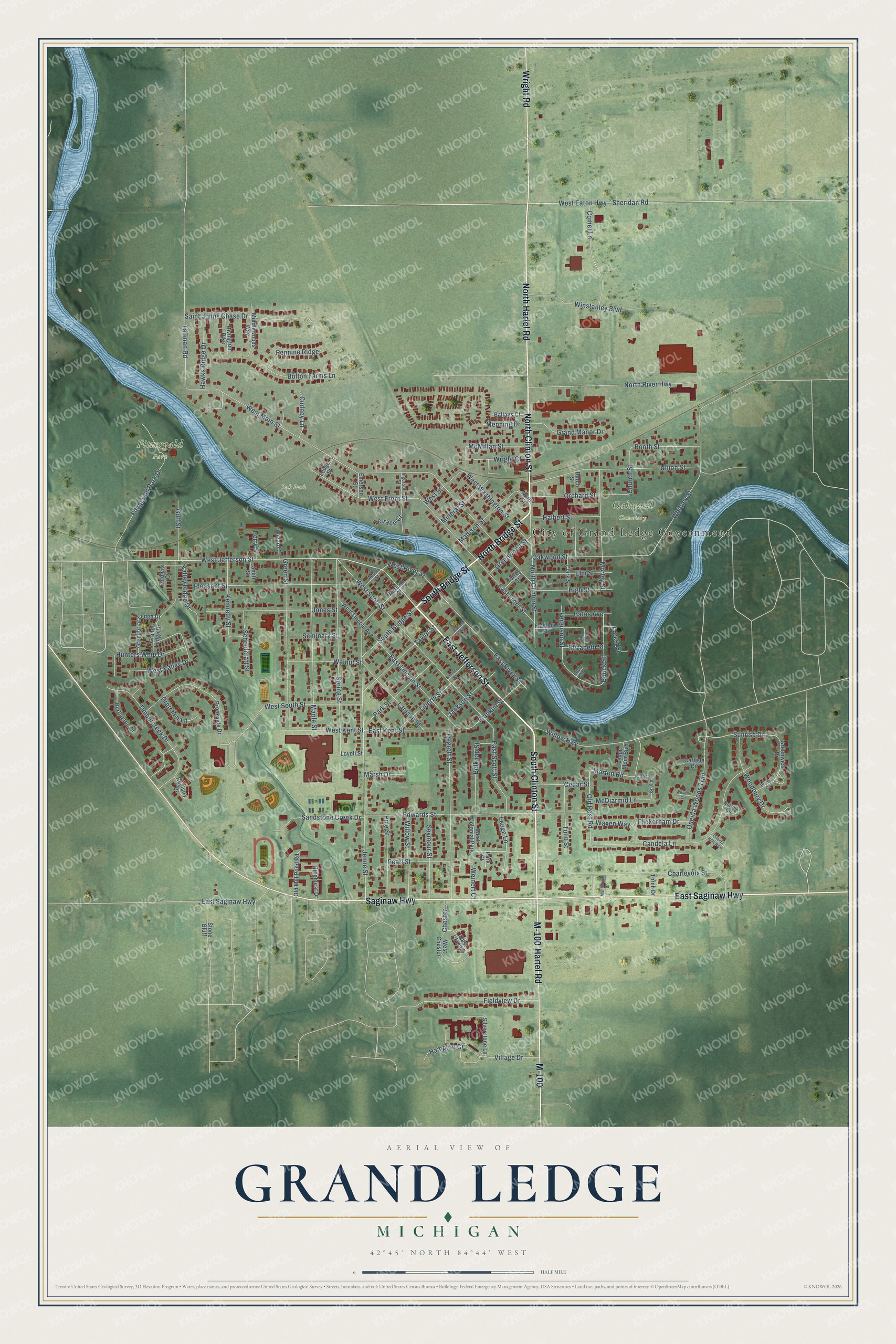
This beautifully detailed map of Grand Ledge, Michigan was created in 2026 using aerial imagery combined with modern topographical, census, street and landmark data. It's a modern aerial view of Grand Ledge in Eaton County, Michigan, that combines modern data with a vintage aesthetic. The roads feature printed names, and if you look closely you can find your exact house accurately shown in its correct location.
Explore an aerial view of Grand Ledge, Michigan
On this map you'll find City of Grand Ledge Government, Fitzergald Park, Oakwood Cemetery, Oak Park, East Jefferson Street, North Bridge Street, South Bridge Street, South Clinton Street, North Clinton Street, Saginaw Highway, North Hartel Road, East Saginaw Highway, and more. Each red shape is a building, so zoom in on the preview and look for yours.
Grand Ledge has a story worth telling. The History of Ingham and Eaton Counties puts it this way: "About 1850 the Grand Ledge post-office was established, and Henry Trench was appointed the first postmaster. This was before a mailroute had been established through the village, and mail was brought from Lansing as the most convenient means would allow."
Grand Ledge is a city in Eaton County. The Census Bureau counted 7,784 people here in 2020.
Take a closer look at the Grand Ledge map
Names on this map
These names are printed on this map.
Places: City of Grand Ledge Government, Fitzergald Park, Oakwood Cemetery, Oak Park and West Colonial Park.
Streets and roads: East Jefferson Street, North Bridge Street, South Bridge Street, South Clinton Street, North Clinton Street, Saginaw Highway, North Hartel Road, East Saginaw Highway, Hartel Road, M-100, Wright Road, West Jefferson Street.
More street names, A to Z
Adams Street, Ballans Court, Bates Avenue, Belknap Street, Bolton Farms Lane, Booth Street, Bouck Street, Bristol Circle, Brookside Drive, Burch Street, Burlington Drive, Candela Lane, Carlisle Circle, Cedar Street, Charlevoix Street, Chester, Church Street, Clark Street, Comet Lane, Cudney Lane, Degroff Street, East Chester, East Front Street, East Kent Street, East Lincoln Street, East River Street, East Scott Street, Edwards Street, Elizabeth Street, Elm Street, Emerson Street, Ferguson Street, Fiddlers Cv, Fieldview Drive, Fitzgerald Park Drive, Fleming Street, Flickerham Drive, Forest Street, Franklin Street, Grand Ledge Drive, Grand Manor Drive, Greenbriar Ledge Drive, Green Street, Greenwich Drive, Greenwood Street, Gretchen Lane, Gulf Street, Halbert Street, Hampton Court, Harrison Street, Hawks Ridge Drive, High Street, Howell Street, Hunters Whip Drive, Ingersoll Street, Jackson Street, Jenne Street, Jones Street, Kennedy Street, Kingsbridge Road, Lamson Street, Ledge Lane, Ledge Moor Boulevard, Ledge Street, Liberty Street, Loch Circle, Lovell Street, Madison Street, Manistique Drive, Maple Street, Marsh Drive, McDiarmid Lane, McMillan Street, Menning Drive, Middlewoods Way, Mineral Street, Morley Street, Morton Road, Norfolk Circle, North River Highway, North Street, Oakwood Street, Old Mill Pond Road, Old Post Road, Oneida Hills Boulevard, Oneida Woods Trail, Orchard Street, Park Court, Park Street, Pearl Street, Pennine Ridge, Perry Street, Pinehurst Drive, Pine Street, Pleasant Street, Registry Drive, Rivington Pike, Russell Street, Saint Johns Chase Drive, Sandstone Creek Drive, Schoolcraft Street, Seminary Street, Seymour Street, Sheridan Road, Silverstone Lane, Smith Street, Spring Street, Stone Bluff, Sumner Street, Sunrise Drive, Tallman Road, Taylor Street, Terrace Court, Timbercreek Drive, Torch Drive, Torrey Street, Tulip Street, Union Street, Valley Ridge Drive, Village Drive, Walnut Street, Waxen Way, Weinert Court, West Chester, West Eaton Highway, West Front Street, West Kent Street, West Lincoln Avenue, West Main Street, West River Street, West Scott Street, West South Street, West Street, West Valley Drive, West Washington Street, Whitney Street, Willard Court, Willow Highway, Willow Street, Wilshire Circle, Winstanley Boulevard, Woodbury Drive, Wright Court.
Created by KNOWOL in 2026. The buildings are small red shapes, the roads carry their printed names, and shaded relief shows the shape of the land. The title panel reads "AERIAL VIEW OF GRAND LEDGE, MICHIGAN" with 42°45' NORTH 84°44' WEST.
It looks right in a kitchen, an office or a den, and it's a gift for anyone who grew up in Grand Ledge or moved away. Open the preview and find your street. See sizes and frames for the Grand Ledge map.