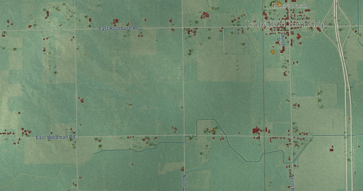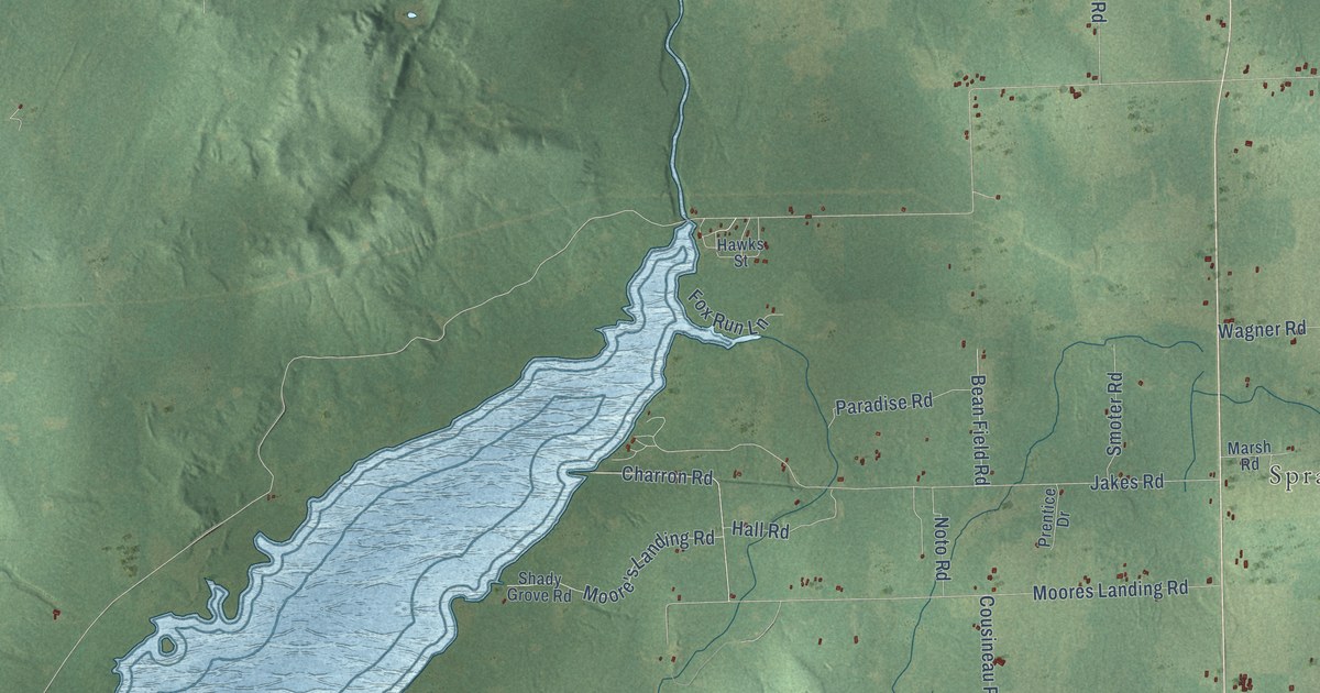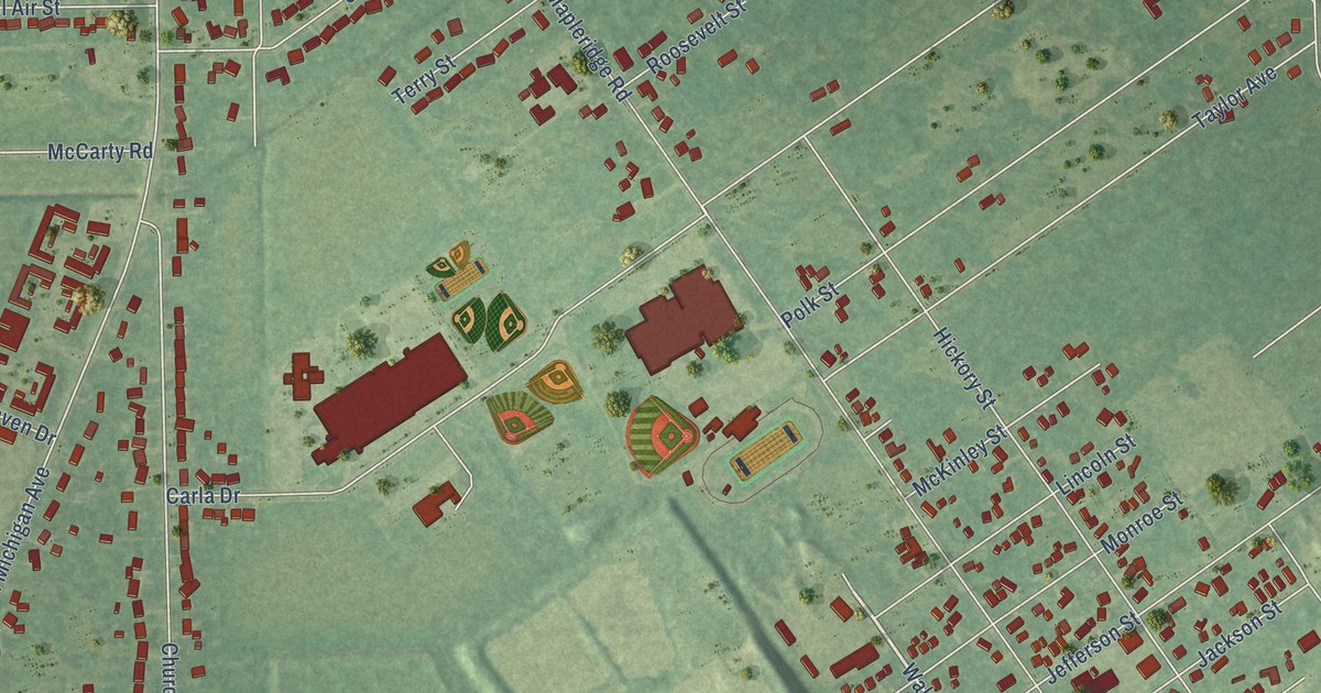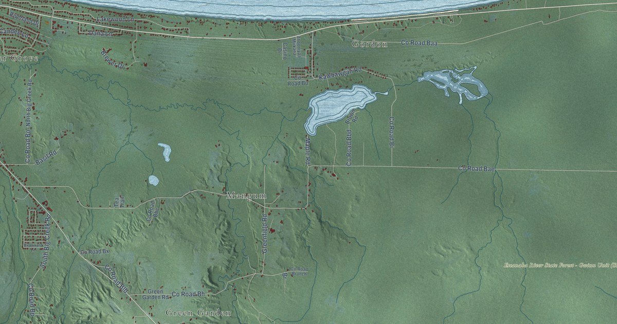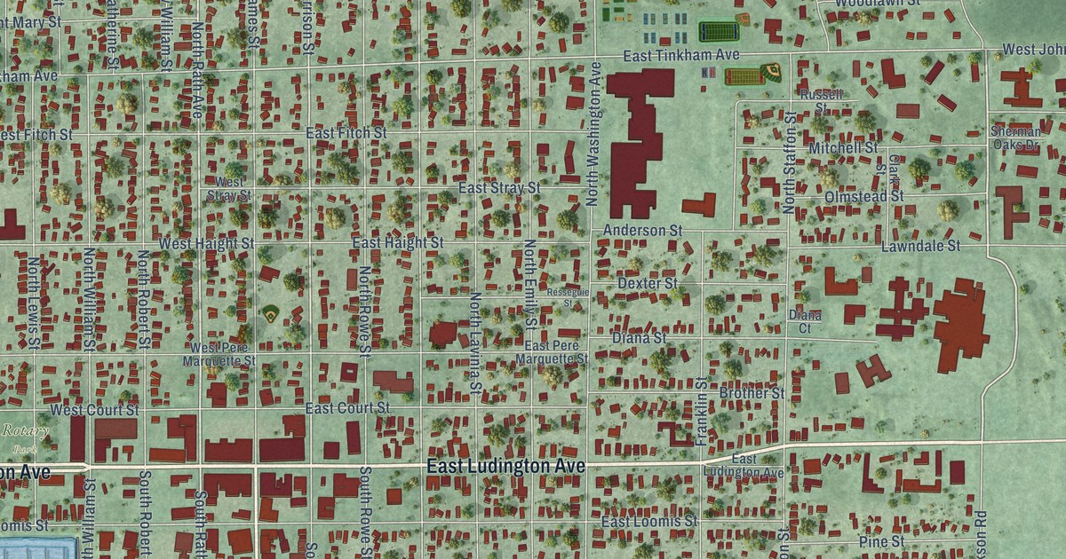
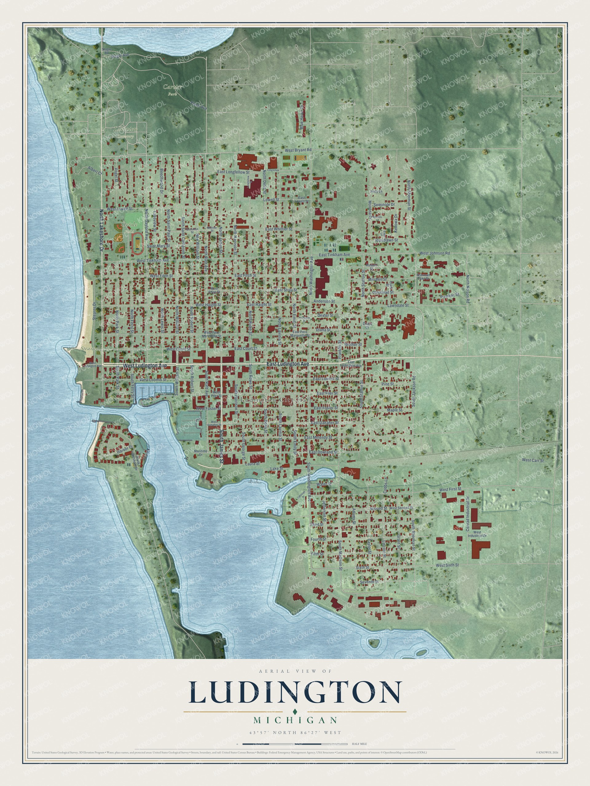
This beautifully detailed map of Ludington, Michigan was created in 2026 using aerial imagery combined with modern topographical, census, street and landmark data. It's a modern aerial view of Ludington in Mason County, Michigan, that combines modern data with a vintage aesthetic. The roads feature printed names, and if you look closely you can find your exact house accurately shown in its correct location.
Explore an aerial view of Ludington, Michigan
On this map you'll find Ludington City Hall, Cartier Park, Lakeview Cemetery, Oriole Field, Stearns Park, Rotary Park, West Ludington Avenue, East Ludington Avenue, South James Street, North Lakeshore Drive, West Bryant Road, North Rath Avenue, and more. Each red shape is a building, so zoom in on the preview and look for yours.
Every town has a first chapter, and Ludington is no exception. The History of Mason County puts it this way: "In the Spring of 1864 the name of Ludington was first applied to this locality, by a postoffice of that name being established here. David A. Melendy, who had recently come here as bookkeeper for James Ludington, was the first postmaster."
Ludington is a city in Mason County. The Census Bureau counted 7,655 people here in 2020.
Take a closer look at the Ludington map
Names on this map
These names are printed on this map.
Places: Ludington City Hall, Cartier Park, Lakeview Cemetery, Oriole Field, Stearns Park and Rotary Park.
Streets and roads: West Ludington Avenue, East Ludington Avenue, South James Street, North Lakeshore Drive, West Bryant Road, North Rath Avenue, North Sherman Street, South Rath Avenue, North Harrison Street, Adams Street, North Gaylord Avenue, Seventh Street.
More street names, A to Z
Albert Court, Anderson Street, Beechwood Drive, Blue Heron Drive, Brother Street, Clark Street, Cobbs Lane, Conrad Industrial Drive, Dexter Street, Diana Court, Diana Street, East Court Street, East Danaher Street, East Dowland Street, East Filer Street, East Fitch Street, East Foster Street, East Haight Street, East Longfellow Street, East Loomis Street, East Lowell Street, East Melendy Street, East Pere Marquette Street, East Stray Street, East Tinkham Avenue, East Whittier Street, Elder Lane, Fifth Street, Fourth Street, Franklin Street, Grant Street, Harbor Drive, Holly Lane, Jefferson Street, Kenowa Drive, Lakeside Drive, Lake Street, Lakeview Street, Laura Street, Lawndale Street, Lincoln Street, Longfellow, Longfellow Street, Lowell Street, Manitou Lane, Maple Street, Maritime Drive, Mitchell Street, Monona Drive, New William Street, North Delia Street, North Emily Street, North Ferry Street, North James Street, North Lavinia Street, North Lewis Street, North Nelson Road, North Park Street, North Robert Street, North Rowe Street, North Saint Catherine Street, North Saint Paul Street, North Staffon Street, North Washington Avenue, North William Street, Olmstead Street, Pine Street, Pineway Street, Plank Avenue, Quevillon Street, Resseguie Street, Russell Street, Saint Mary Street, Second Street, Seminole Drive, Sherman Oaks Drive, Sixth Street, Slagle Avenue, Slagle Road, South Delia Street, South Emily Street, South Ferry Street, South George Street, South Harrison Street, South Jackson Road, South Lakeshore Drive, South Lavinia Street, South Madison Street, South Park Street, South Robert Street, South Rowe Street, South Sherman Street, South Staffon Street, South Washington Avenue, South William Street, Stearns Drive, Taylor Street, Third Street, Vogel Street, Water Street, West Carr Street, West Court Street, West Danaher Street, West Filer Street, West First Street, West Fitch Street, West Foster Street, West Haight Street, West Industrial Drive, West Johnson Road, West Loomis Street, West Lowell Street, West Pere Marquette Street, West Second Street, West Sixth Street, West Stray Street, West Tinkham Avenue, Whittier Street, Woodlawn Street.
Created by KNOWOL in 2026. The buildings are small red shapes, the roads carry their printed names, and shaded relief shows the shape of the land. The title panel reads "AERIAL VIEW OF LUDINGTON, MICHIGAN" with 43°57' NORTH 86°27' WEST.
Hang it in the hallway, the office or the cabin, or give it to someone who left Ludington and still calls it home. Open the preview and look for a street you know. See sizes and frames for the Ludington map.