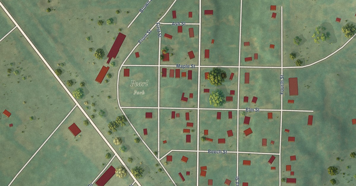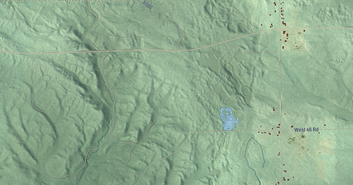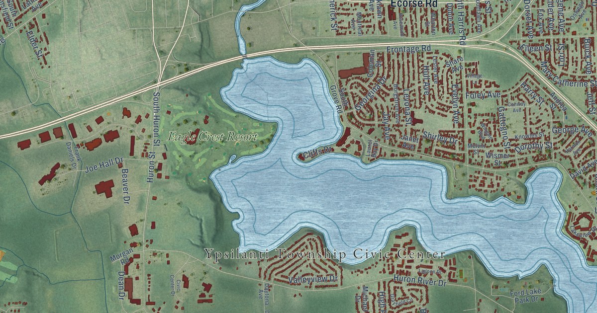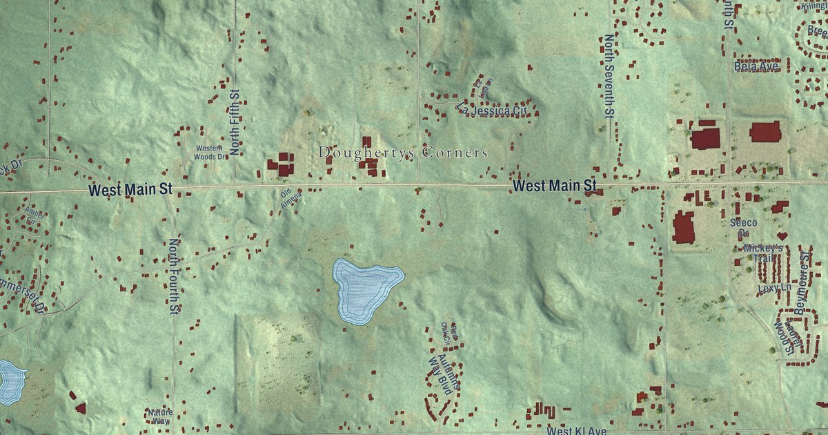
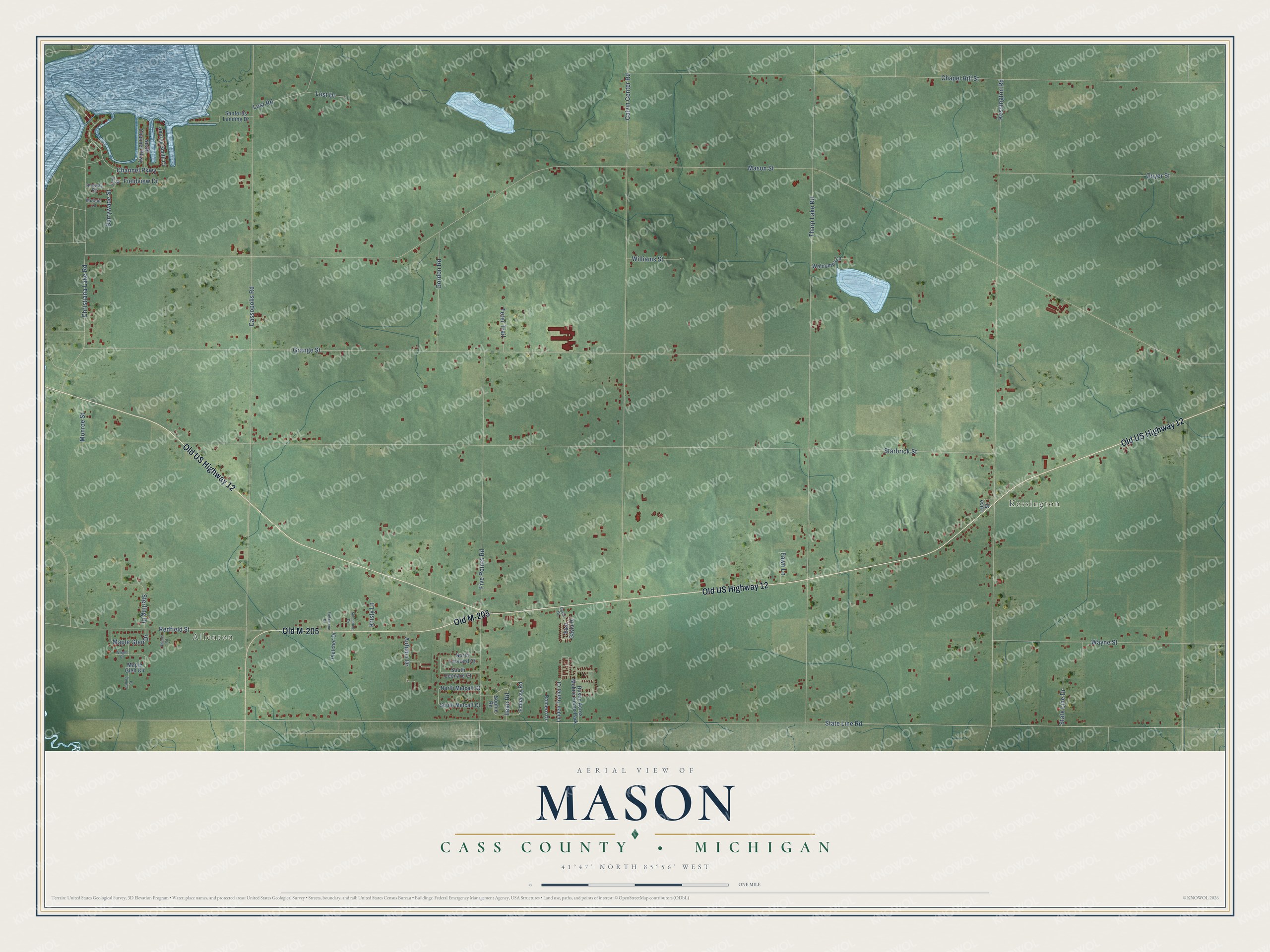
This beautifully detailed map of Mason, Michigan was created in 2026 using aerial imagery combined with modern topographical, census, street and landmark data. It's a modern aerial view of Mason in Cass County, Michigan, that combines modern data with a vintage aesthetic. The roads feature printed names, and if you look closely you can find your exact house accurately shown in its correct location.
Explore an aerial view of Mason, Michigan
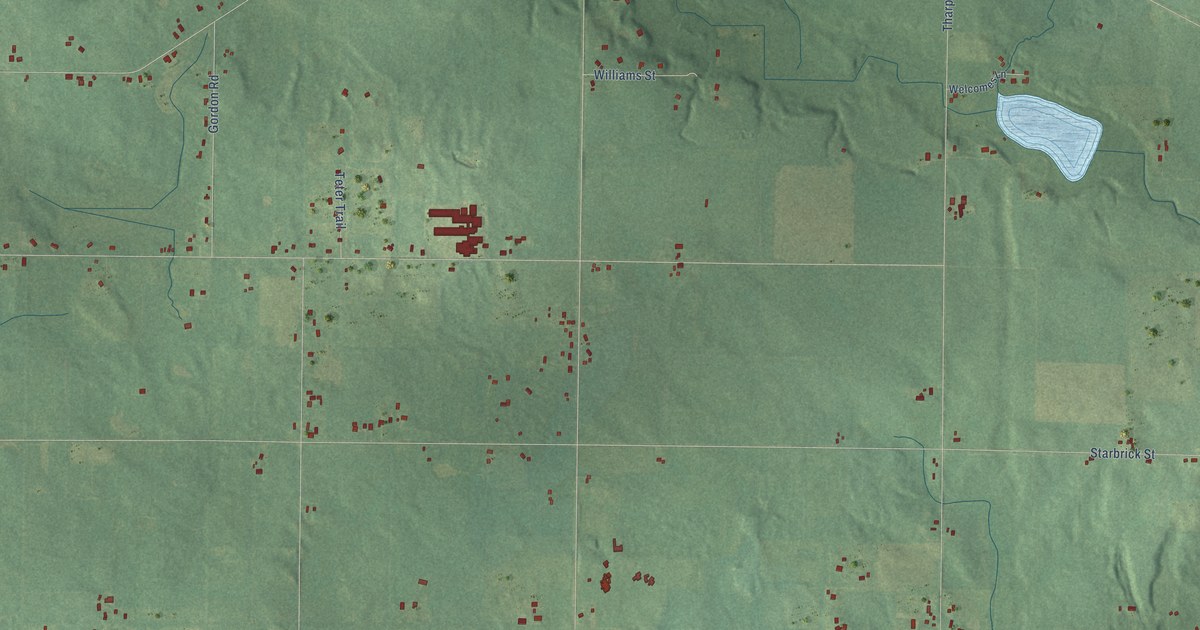
On this map you'll find Allenton, Kessington, Old US Highway 12, Old M-205, Mason Street, State Line Road, Starbrick Street, Grange Street, Tharp Lake Road, Kessington Road, Cassopolis Road, Chapel Hill Street, and more. Each red shape is a building, so zoom in on the preview and look for yours.
Mason has a story worth telling. The Twentieth Century History of Cass County puts it this way: "Evangelical Paradise church, situated on the north side of Chicago road in section 15 of Mason, was built in 1874. The church was organized in the same year by Jacob Young, there being twelve charter members."
The Census Bureau counted 2,841 people here in 2020.
Take a closer look at the Mason map
Names on this map
These names are printed on this map.
Places: Allenton, Kessington and Rustic Acres Mobile Home Park.
Streets and roads: Old US Highway 12, Old M-205, Mason Street, State Line Road, Starbrick Street, Grange Street, Tharp Lake Road, Kessington Road, Cassopolis Road, Chapel Hill Street, Calvin Center Road, Five Points Road.
More street names, A to Z
Adams Road, Autumn Drive, Barrywade Street, Channel Parkway, Christiana Lake Road, East Gayla Drive, Embassy Road, Fawn Lane, Fieldstone Drive, Fieldview Drive, Gayla Drive, George Smith Court, Gordon Road, Guyer Street, Ilean Road, Juno Street, Kristy Lane, Linden Trailer Court, Lost Drive, Lost Road, Luce Street, Maple Glen Circle, Maple Glen Drive, McCain Lane, Monroe Street, North Channel Parkway, North Leonard Court, North Metcalf Court, Pletcher Drive, Pulling Court, Redfield Street, Rodway Road, Romero Drive, Sandstone Drive, Sanfords Landing Drive, Sophie Road, South Leonard Court, South Metcalf Court, State Line Drive, Sterling Drive, Teter Trail, Wayne Street, Welcomes Lane, Williams Street, Wright Place.
Created by KNOWOL in 2026. The buildings are small red shapes, the roads carry their printed names, and shaded relief shows the shape of the land. The title panel reads "AERIAL VIEW OF MASON, CASS COUNTY • MICHIGAN" with 41°47' NORTH 85°56' WEST.
It looks right in a kitchen, an office or a den, and it's a gift for anyone who grew up in Mason or moved away. Open the preview and find your street. See sizes and frames for the Mason, Cass County map.