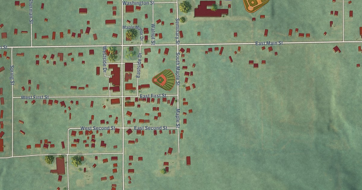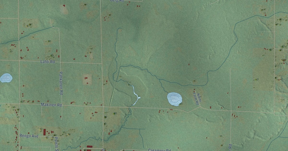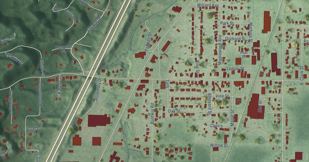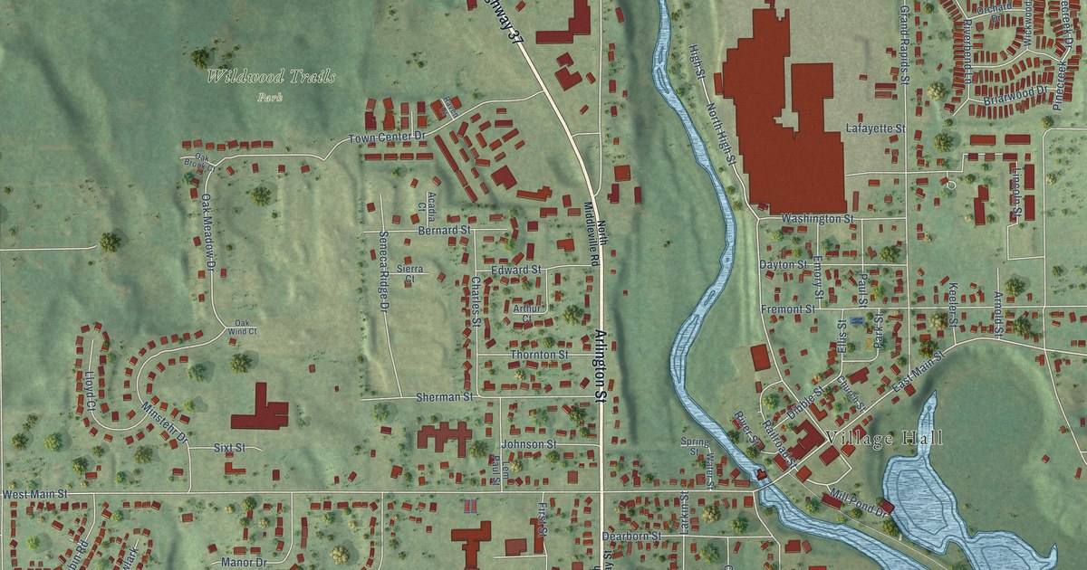
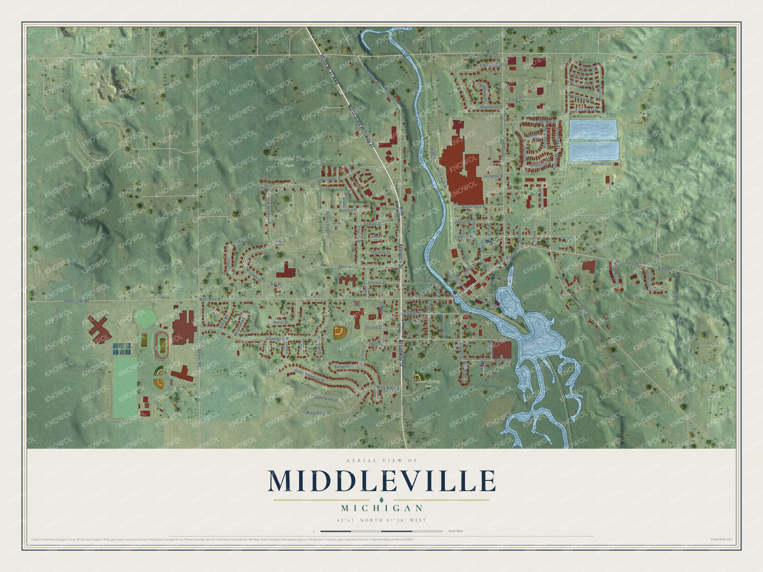
This beautifully detailed map of Middleville, Michigan was created in 2026 using aerial imagery combined with modern topographical, census, street and landmark data. It's a modern aerial view of Middleville in Barry County, Michigan, that combines modern data with a vintage aesthetic. The roads feature printed names, and if you look closely you can find your exact house accurately shown in its correct location.
Explore an aerial view of Middleville, Michigan
On this map you'll find Village Hall, Lions Spring Park, Wildwood Trails Park, North M-37 Highway, North State Highway 37, Broadway Street, Arlington Street, Misty Ridge Road, Crane Road, West Main Street, West State Road, Arlington Court, and more. Each red shape is a building, so zoom in on the preview and look for yours.
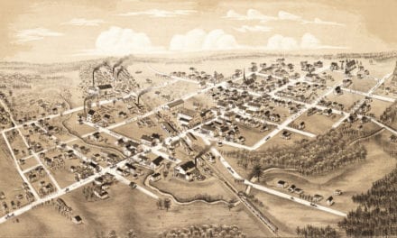
Every town has a first chapter, and Middleville is no exception. The History of Allegan and Barry Counties puts it this way: "In December, 1854, the place of worship was removed from Yankee Springs to the village of Middleville, and the church name changed to that of the First Congregational Church of Middleville, worship being held in the village school-house."
Middleville is a village in Barry County. The Census Bureau counted 4,295 people here in 2020.
Take a closer look at the Middleville map
Names on this map
These names are printed on this map.
Places: Village Hall, Lions Spring Park and Wildwood Trails Park.
Streets and roads: North M-37 Highway, North State Highway 37, Broadway Street, Arlington Street, Misty Ridge Road, Crane Road, West Main Street, West State Road, Arlington Court, East Main Street, High Street, Grand Rapids Street.
More street names, A to Z
Acadia Court, Arnold Street, Arthur Court, Bectal Street, Bender Road, Bernard Street, Briarwood Drive, Bryanwood Court, Buttonwood Drive, Cardinal Court, Charles Street, Cherry Street, Church Street, Cider Mill Drive, Dayton Street, Dearborn Street, Dibble Street, Eagle Drive, Edgewood Drive, Edward Street, Ellis Street, Emory Street, Finkbinder Road, First Street, Firwood Drive, Fox Hole Drive, Fremont Street, Green Lake Road, Green Meadows Drive, Greenwood Court, Greenwood Street, High Ridge Court, Holes Avenue, Hunters Trail Drive, Irving Road, Johnson Street, Keeler Street, Kirkwood Drive, Lafayette Street, Larkin Street, Lem Paul Street, Lincoln Street, Lloyd Court, Manor Drive, Market Street, Meadowlark, Mill Pond Drive, Millwood Trail, Minstehr Drive, Misty Ridge Drive, North High Street, North Middleville Road, Oak Brook Court, Oak Meadow Drive, Oak Wind Court, Orchard Drive, Park Street, Paul Street, Pepperwood Place, Pinecreek, Pinecreek Drive, Railroad Street, Raven Court, Riverbend Lane, River Street, Riverwood Drive, Robin Road, Russell Street, Sandhill Drive, Second Street, Seneca Ridge Drive, Sheridan Street, Sherman Street, Sierra Court, Sixt Street, South Broadway Street, Spring Street, Stadium Drive, State Road, State Street, Sunset Hills Drive, Sunset Ridge Drive, Third Street, Thornton Street, Town Center Drive, View Pointe Drive, Washington Street, Water Street, Whitneyville Road, Wickwood Way, Wild Pond Court.
Created by KNOWOL in 2026. The buildings are small red shapes, the roads carry their printed names, and shaded relief shows the shape of the land. The title panel reads "AERIAL VIEW OF MIDDLEVILLE, MICHIGAN" with 42°43' NORTH 85°28' WEST.
Hang it in the hallway, the office or the cabin, or give it to someone who left Middleville and still calls it home. Open the preview and look for a street you know. See sizes and frames for the Middleville map.