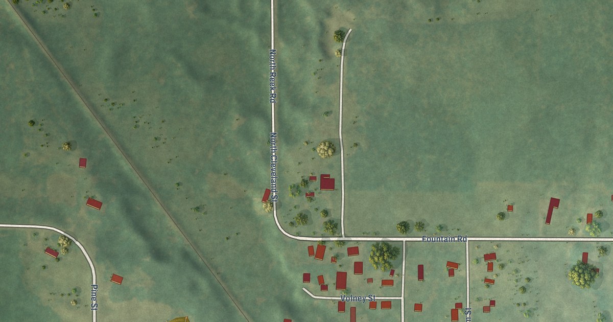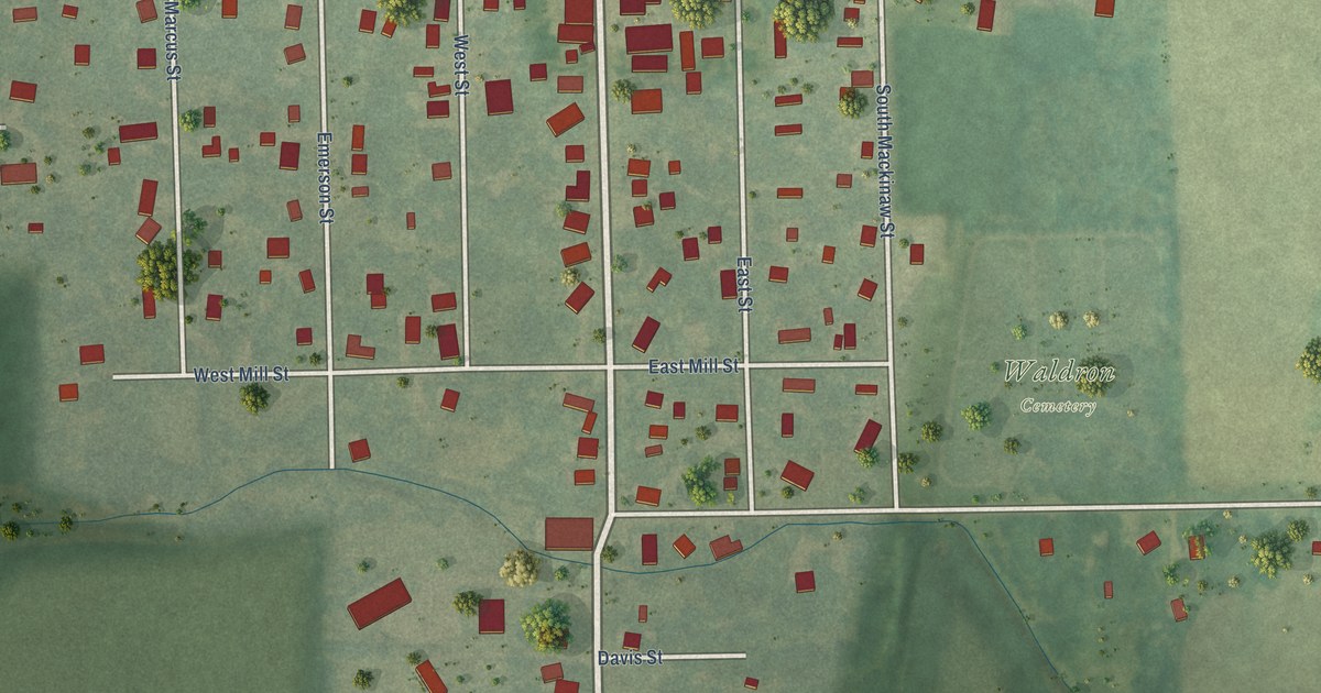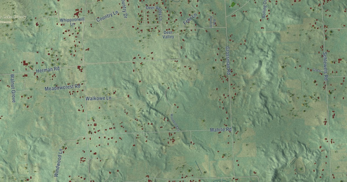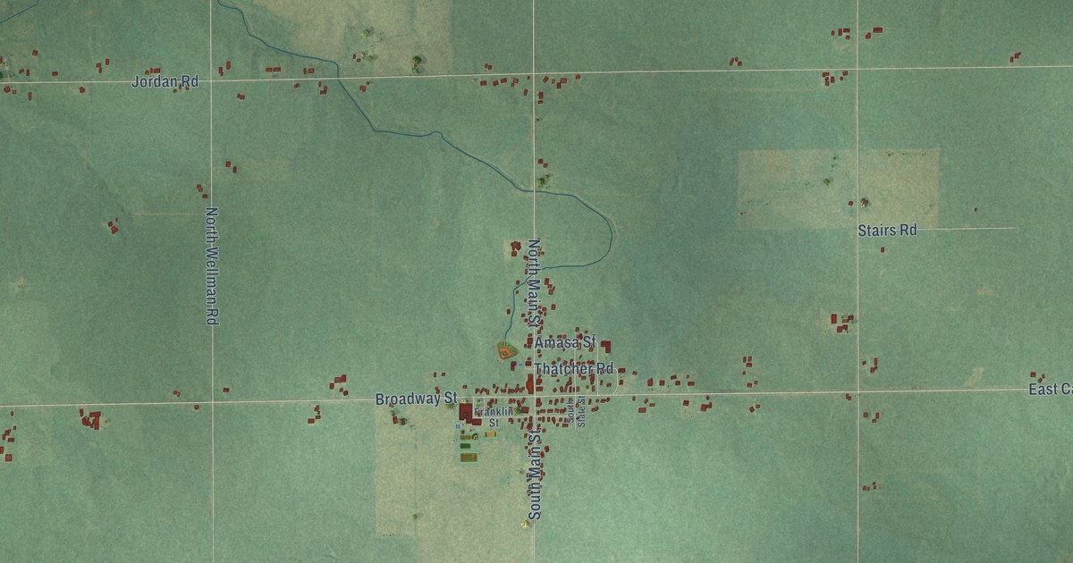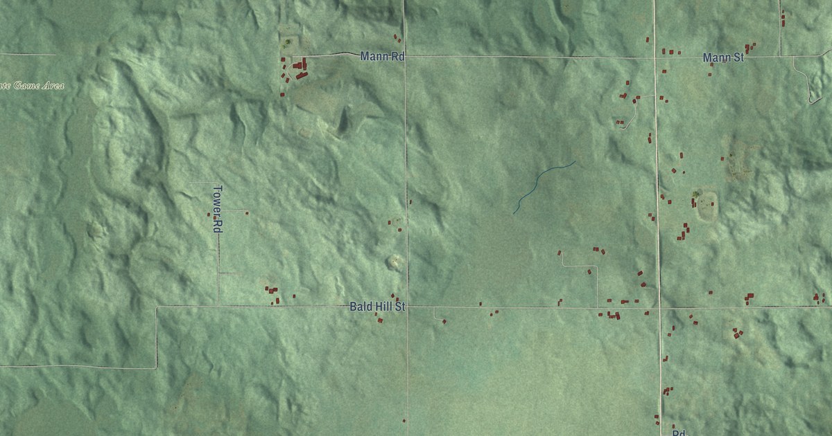
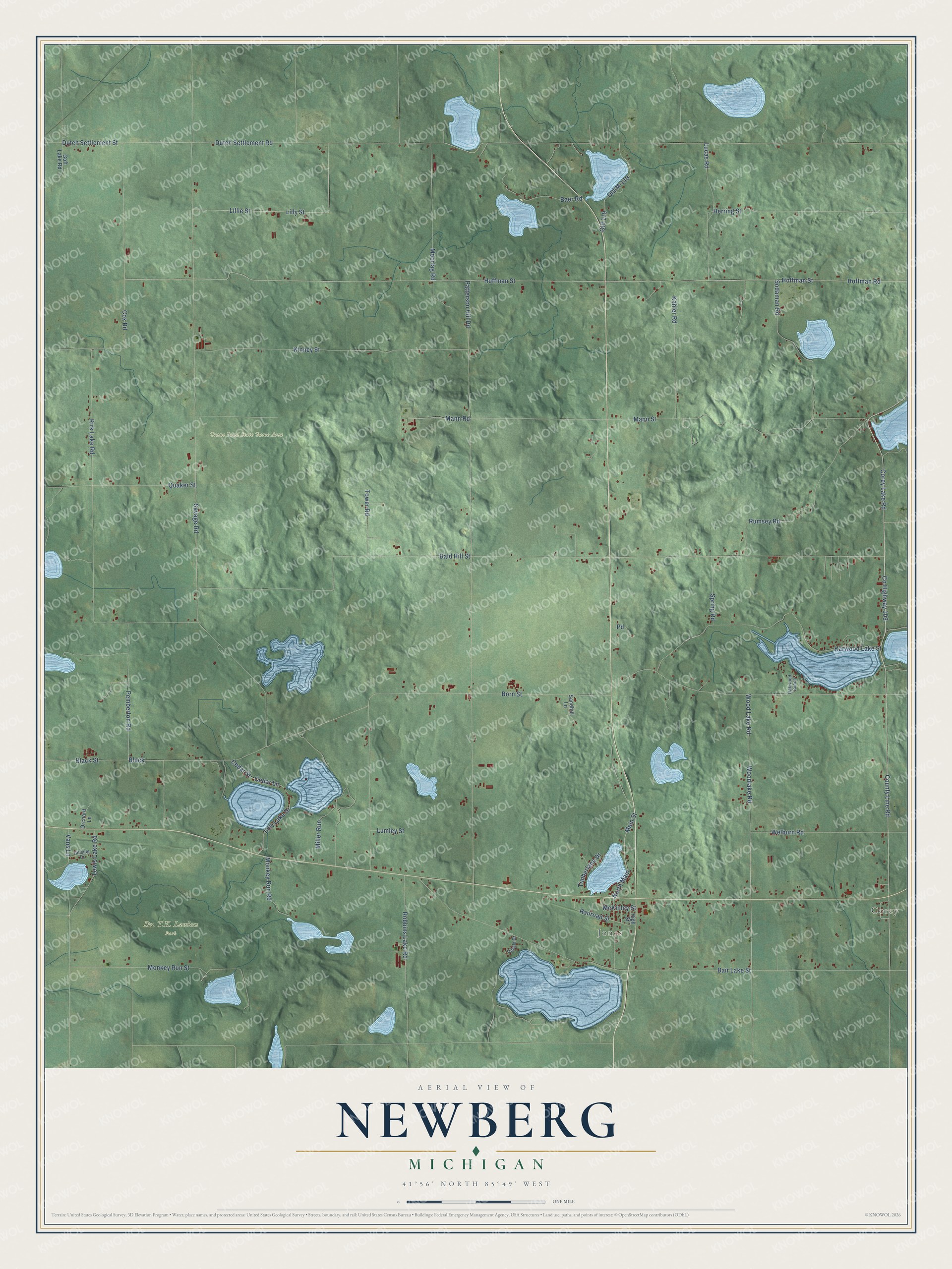
This beautifully detailed map of Newberg, Michigan was created in 2026 using aerial imagery combined with modern topographical, census, street and landmark data. It's a modern aerial view of Newberg in Cass County, Michigan, that combines modern data with a vintage aesthetic. The roads feature printed names, and if you look closely you can find your exact house accurately shown in its correct location.
Explore an aerial view of Newberg, Michigan
On this map you'll find Corey, Jones, Crane Pond State Game Area, Corey Lake Road, County Line Road, Co Highway 109, Lucas Road, Born Street, Black, Herring Street, Lewis Lake Road, Dutch Settlement Road, and more. Each red shape is a building, so zoom in on the preview and look for yours.
Every town has a first chapter, and Newberg is no exception. The History of Cass County puts it this way: "As there were no villages in the township of Newberg until long after its organization, the first post offices were, as a matter of necessity, kept at private houses. The first postal route established through the township was the one running from Centerville to Niles, in 1836, and the first post office was at the house of R. Crego, located on the southwest quarter of Section 21."
The Census Bureau counted 1,602 people here in 2020.
Take a closer look at the Newberg map
Names on this map
These names are printed on this map.
Places: Corey, Jones, Crane Pond State Game Area and Dr. T.K. Lawless Park.
Streets and roads: Corey Lake Road, County Line Road, County Highway 109, Lucas Road, Born Street, Black, Herring Street, Lewis Lake Road, Dutch Settlement Road, Dutch Settlement Street, Hoffman Road, Huffman Street.
More street names, A to Z
Baer Road, Bair Lake Street, Bald Hill Street, Black Street, Cedar Lane, Cedar Street, Cox Road, Goff Lake Road, Harwood Lake Street, High Street, Hillside Drive, Hoffman Street, Kahler Road, Kinney Street, Kirk Lake Road, Lillie Street, Lilly Lake Drive, Lilly Street, Lumley Street, Main Street, Mann Road, Mann Street, McKinley Street, Miller Run, Monkey Run Road, Monkey Run Street, Moorlag Road, North Main, Oakwood Beach, Ochala Drive, Old 119, Old M-119, Orchard Lane, Patterson Hill Road, Pemberton Road, Quaker Street, Railroad Street, Robbins Lake Road, Rumsey Road, Sandhill Lane, Savage Road, Sodaman Road, Spring Road, Timberlane Drive, Tower Road, Vans Lane, Welburn Road, Wood Lake Road, Woodlake Road.
Created by KNOWOL in 2026. The buildings are small red shapes, the roads carry their printed names, and shaded relief shows the shape of the land. The title panel reads "AERIAL VIEW OF NEWBERG, MICHIGAN" with 41°56' NORTH 85°49' WEST.
Hang it in the hallway, the office or the cabin, or give it to someone who left Newberg and still calls it home. Open the preview and look for a street you know. See sizes and frames for the Newberg map.