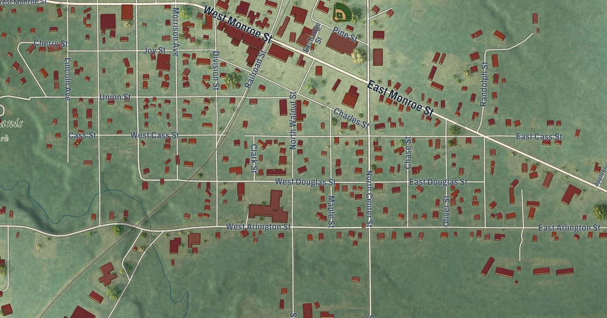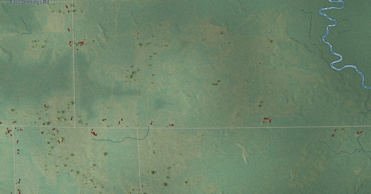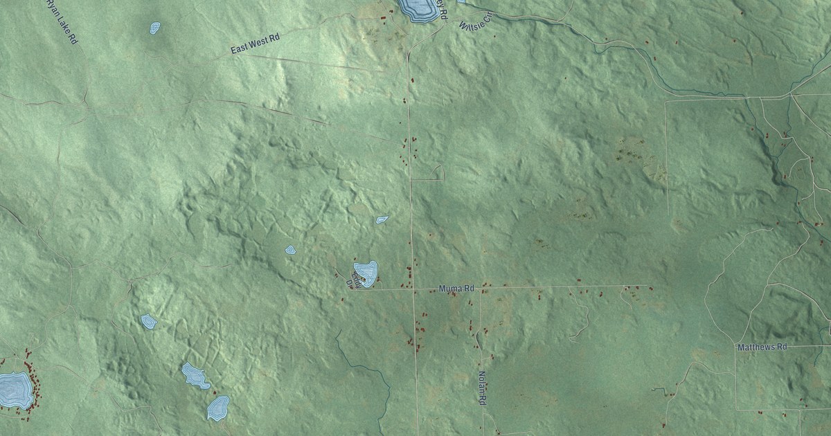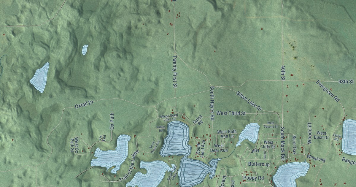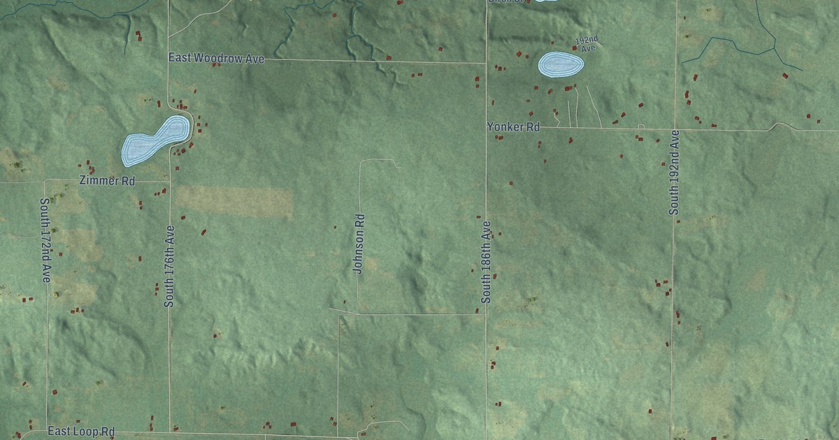
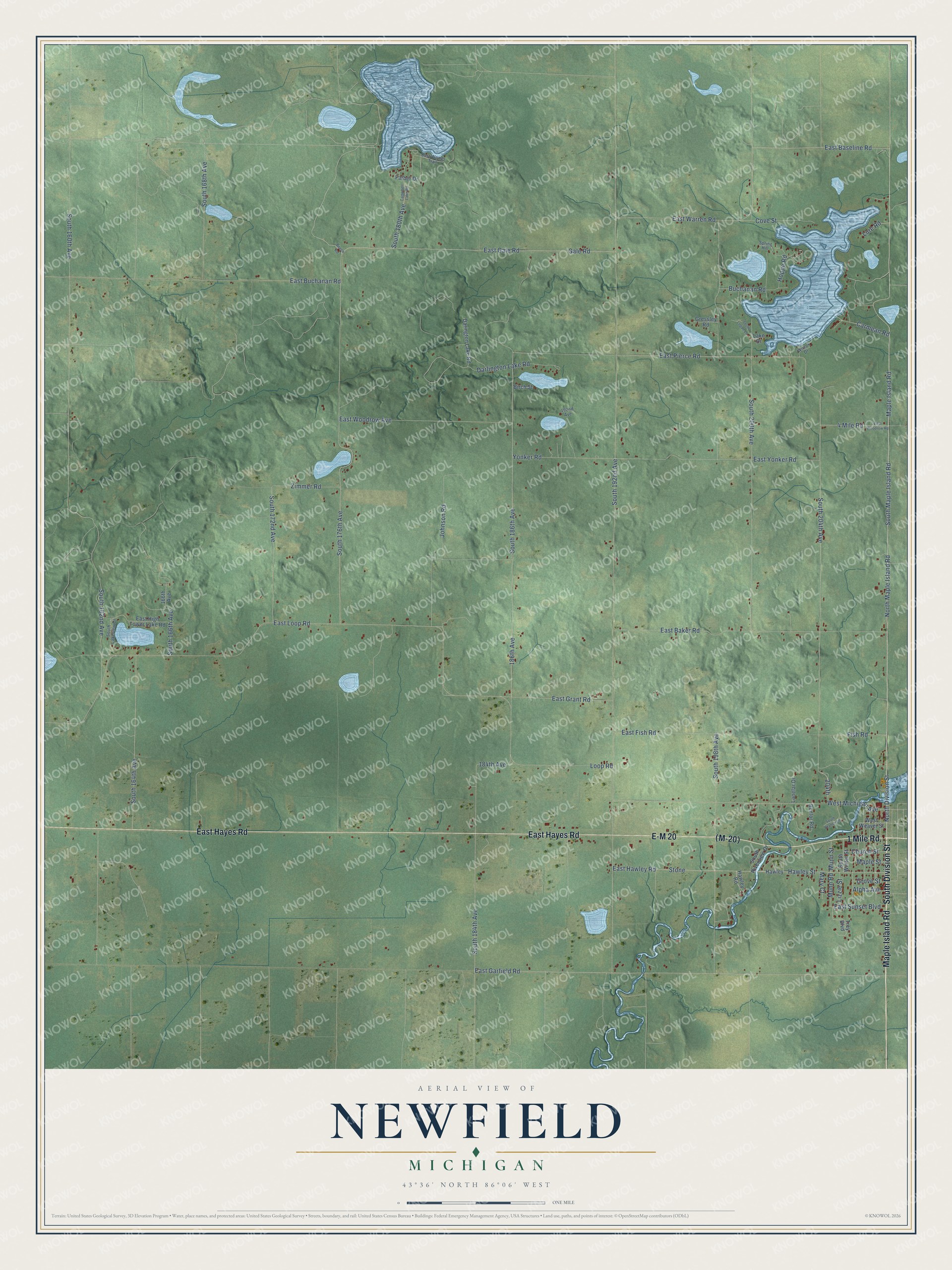
This beautifully detailed map of Newfield, Michigan was created in 2026 using aerial imagery combined with modern topographical, census, street and landmark data. It's a modern aerial view of Newfield in Oceana County, Michigan, that combines modern data with a vintage aesthetic. The roads feature printed names, and if you look closely you can find your exact house accurately shown in its correct location.
Explore an aerial view of Newfield, Michigan
On this map you'll find South Division Street, Maple Island Road, 1 Mile Road, (M-20), E-M 20, East Hayes Road, South Maple Island Road, East Baseline Road, South 176th Avenue, North Division Street, Hawley Street, Loop Road, and more. Each red shape is a building, so zoom in on the preview and look for yours.
Here is a piece of Newfield history, in the words of the record. The History of Mason County puts it this way: "Newfield was selected by J. W. Sweet, and others, in preference to Greenfield, in honor of a Mr. Green."
The Census Bureau counted 2,329 people here in 2020.
Take a closer look at the Newfield map
Names on this map
These names are printed on this map.
Streets and roads: South Division Street, Maple Island Road, 1 Mile Road, E-M 20, East Hayes Road, South Maple Island Road, East Baseline Road, South 176th Avenue, North Division Street, Hawley Street, Loop Road, East Garfield Road.
More street names, A to Z
4 Mile Road, 166th Avenue, 184th Avenue, 186th Avenue, 192nd Avenue, 204th, Alpha Avenue, Beech Road, Benlor Road, Birch Street, Buchanan Road, Campbell Lake Road, Carmean Road, Church Street, Cove Street, Darington Lake Road, Darlington Lake Road, East Baker Road, East Buchanan Road, East Fish Road, East Gale Road, East Grant Road, East Hawley Road, East High Tower Lake Road, East Loop Road, East Pierce Road, East Sunset Boulevard, East Warren Road, East Woodrow Avenue, East Woodrow Road, East Woods Trail, East Yonker Road, Farber Drive, Fish Road, Gale Road, Gressley Road, Grove Street, Hawley, Hawley Road, Hoppe Road, Johnson Road, Lake Drive, Lanelar Drive, Lizzie Street, Lure Road, Maple Street, Mary Court, Munn Road, Munn Street, North Maple Island Road, South 160th Avenue, South 162nd Avenue, South 164th Avenue, South 166th Avenue, South 168th Avenue, South 172nd Avenue, South 180th Avenue, South 184th Avenue, South 186th Avenue, South 192nd Avenue, South 198th Avenue, South 200th Avenue, South 204th Avenue, South Branch Lane, South Lakeview Drive, South Logan Lane, South Riverview Drive, South Winter Street, Spring Hill, Stone, Trey Boulevard, West Michigan Avenue, West Weaver Street, Wilcox Drive, Yonker Road, Zimmer Road.
Created by KNOWOL in 2026. The buildings are small red shapes, the roads carry their printed names, and shaded relief shows the shape of the land. The title panel reads "AERIAL VIEW OF NEWFIELD, MICHIGAN" with 43°36' NORTH 86°06' WEST.
It suits a den, a classroom or a front hall, and it makes a gift for anyone with Newfield roots. Open the preview and find the block you know. See sizes and frames for the Newfield map.