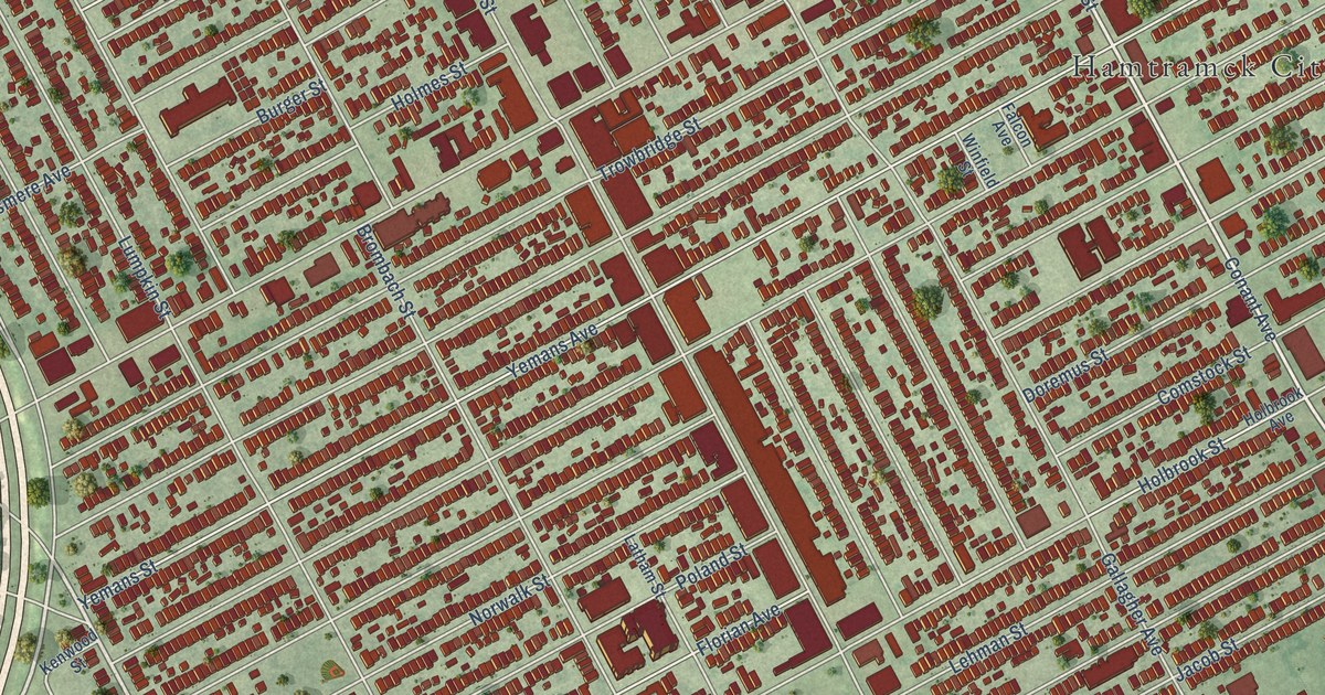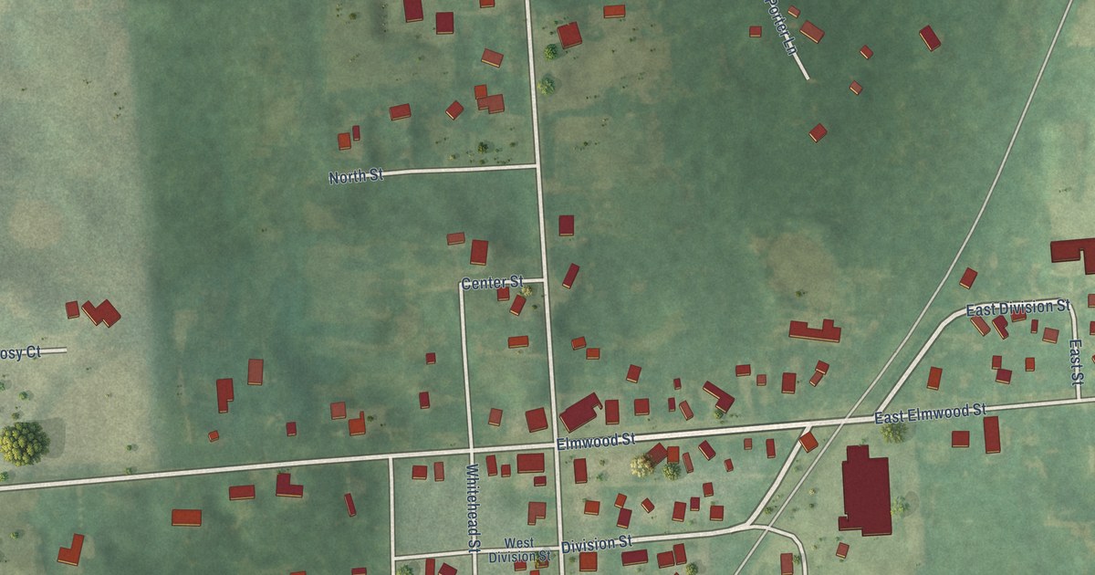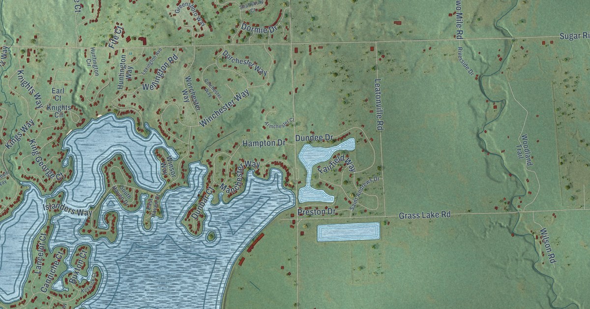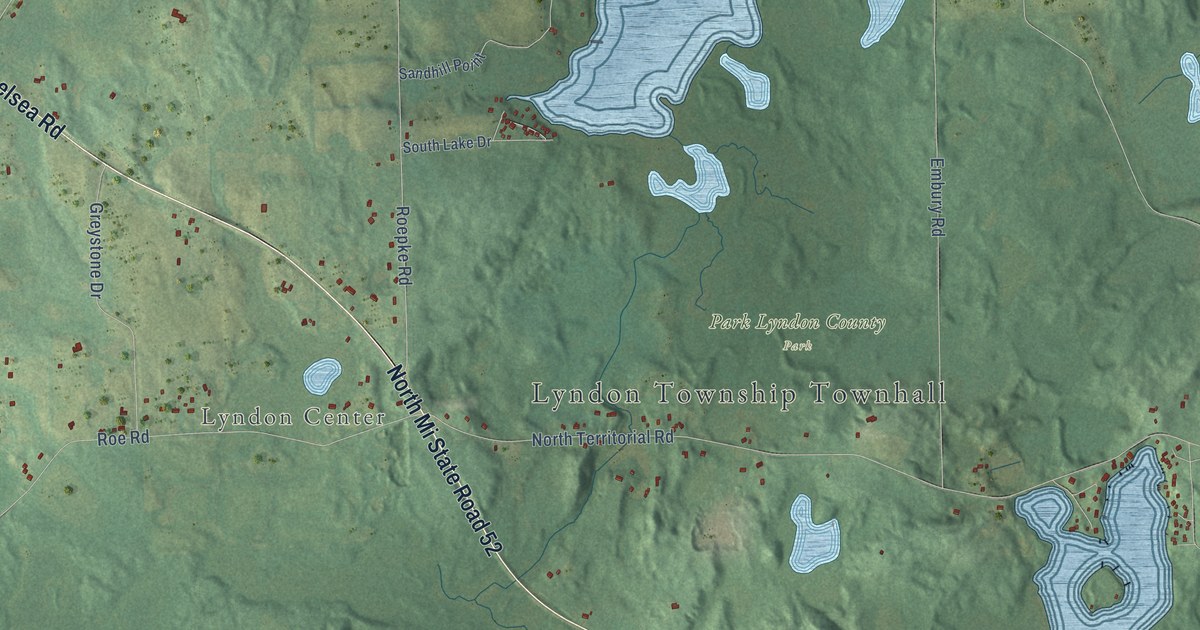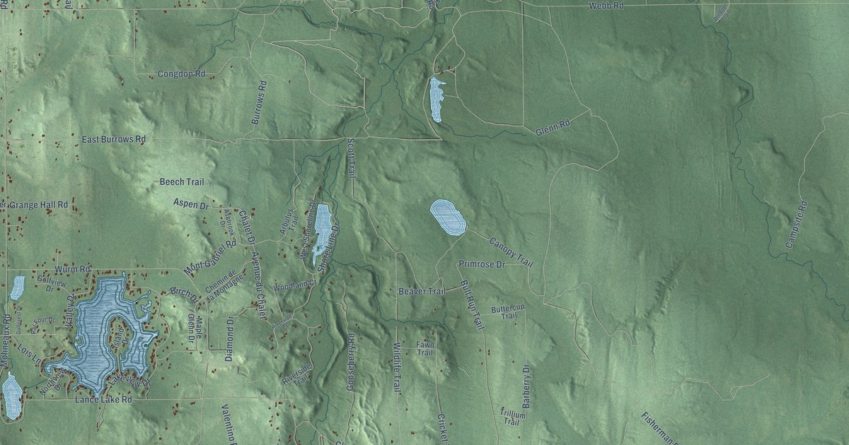
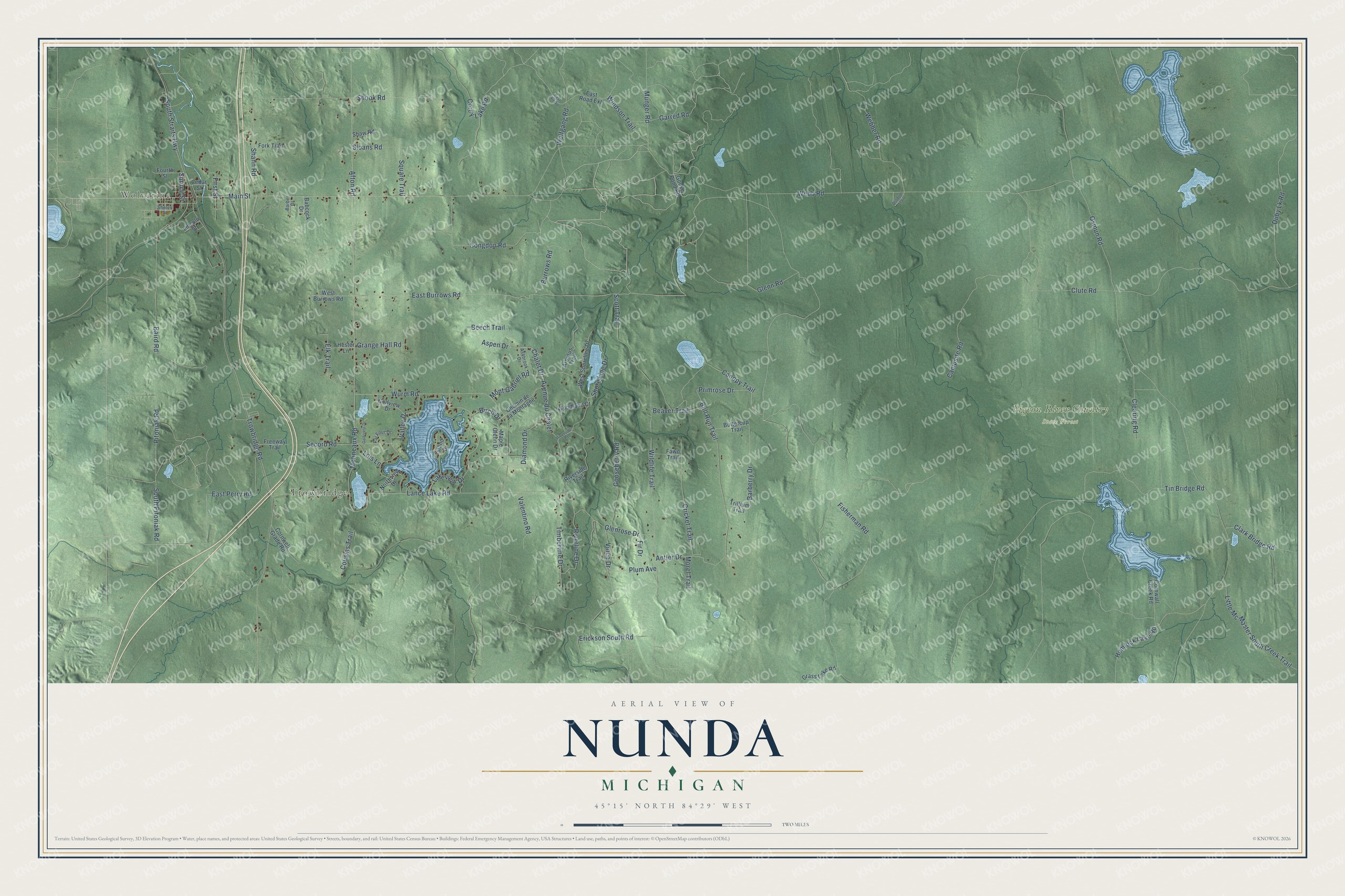
This beautifully detailed map of Nunda, Michigan was created in 2026 using aerial imagery combined with modern topographical, census, street and landmark data. It's a modern aerial view of Nunda in Cheboygan County, Michigan, that combines modern data with a vintage aesthetic. The roads feature printed names, and if you look closely you can find your exact house accurately shown in its correct location.
Explore an aerial view of Nunda, Michigan
On this map you'll find Wolverine, Trowbridge, Pigeon River Country State Forest, Main Street, Chalet Drive, Avenue du Chalet, East Burrows Road, First Street, Lakeview Drive, Fisherman Road, Bull Run Trail, Canopy Trail, and more. Each red shape is a building, so zoom in on the preview and look for yours.
Every town has a first chapter, and Nunda is no exception. The Michigan History Center puts it this way: "Sanborn surveyed land owned by Daniel McKillop and platted the village of Torrey."
The Census Bureau counted 1,195 people here in 2020.
Take a closer look at the Nunda map
Names on this map
These names are printed on this map.
Places: Wolverine, Trowbridge and Pigeon River Country State Forest.
Streets and roads: Main Street, Chalet Drive, Avenue du Chalet, East Burrows Road, First Street, Lakeview Drive, Fisherman Road, Bull Run Trail, Canopy Trail, Barberry Drive, Webb Road, Osmun Road.
More street names, A to Z
Afton Road, Antler Drive, Arbutus Trail, Ashbrook Drive, Aspen Drive, Babcock Drive, Baird Road, Barber Drive, Beaver Trail, Beech Trail, Birch Drive, Burrows Road, Buttercup Trail, Campsite Road, Cedar Street, Chemin de la Montagne, Clark Bridge Road, Clearing Road, Clute Road, Congdon Road, Corey Lake Road, Cornwall Creek Road, Cornwell Grade Road, Cousins Trail, Cricket Trail, Diamond Drive, Duby Lk Road, East Exit Road, East Perry Road, East Road Extension, Elk Trail, Erickson South Road, Fawn Trail, Fir Drive, Fork Trail, Fourth Street, Freeway Trail, Garred Road, Glenn Road, Glenrose Drive, Golfcrest Drive, Golfview Drive, Gooseberry Road, Goose Pond Road, Grange Hall Road, Grass Lake Road, Hemlock Lake Road, Hester Lane, Island Drive, Lance Lake Road, Lincoln Street, Little Mc Master South Creek Trail, Lois Lane, Maple Glenn Drive, Molineaux Road, Mont Gabriel Road, Morel Trail, Munger Road, Northview Drive, Outdoor Trail, Par Four Drive, Pitoniak Road, Plum Avenue, Primrose Drive, Riverline Drive, Riverside Court, Riverside Trail, Scott Trail, Secord Road, Shann Road, Shaw Road, Sholes Street, Shook Road, Shore Line Drive, Sloans Road, South Pitoniak Road, South Straits Highway, Spruce Street, Square Trail, Timberline Drive, Tin Bridge Road, Trillium Trail, Trowbridge Road, Valentino Road, Valley Drive, Vinca Drive, Webber Road, West Burrows Road, West Shoreline Drive, Wildlife Trail, Windson Trail, Wolfgang Road, Woodland Court, Wurm Road.
Created by KNOWOL in 2026. The buildings are small red shapes, the roads carry their printed names, and shaded relief shows the shape of the land. The title panel reads "AERIAL VIEW OF NUNDA, MICHIGAN" with 45°15' NORTH 84°29' WEST.
Hang it in the hallway, the office or the cabin, or give it to someone who left Nunda and still calls it home. Open the preview and look for a street you know. See sizes and frames for the Nunda map.