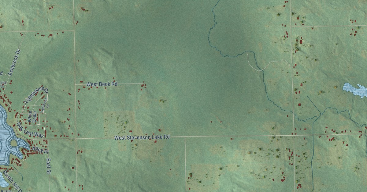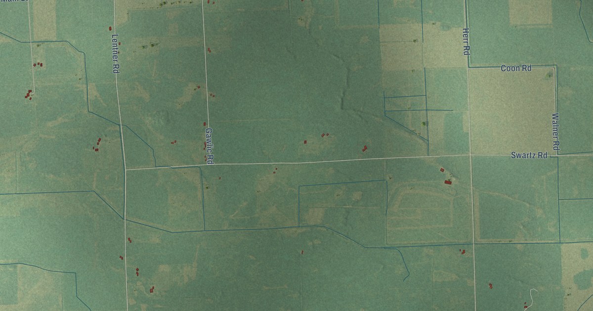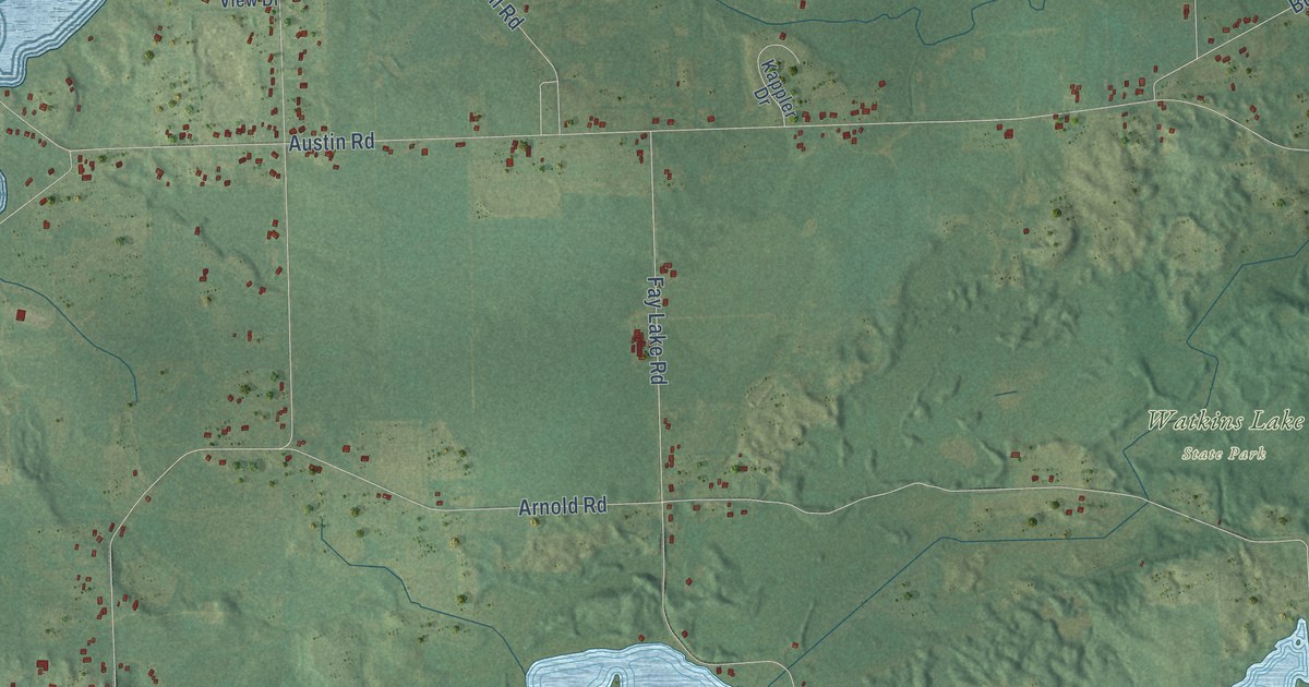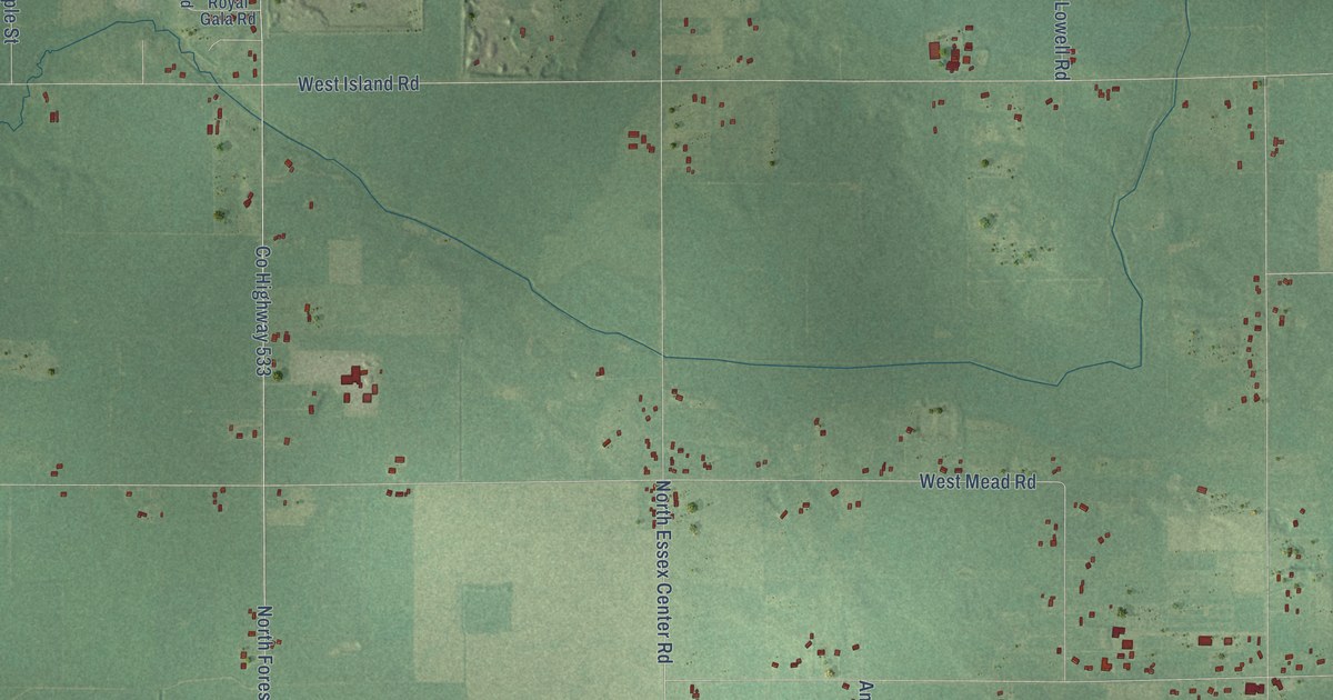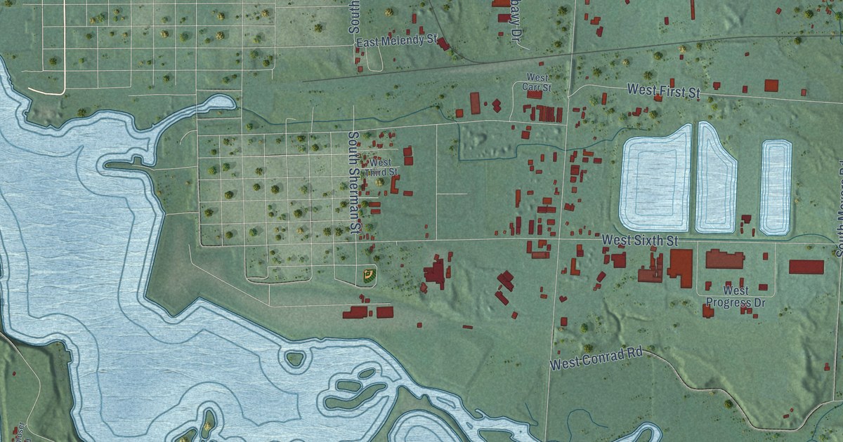
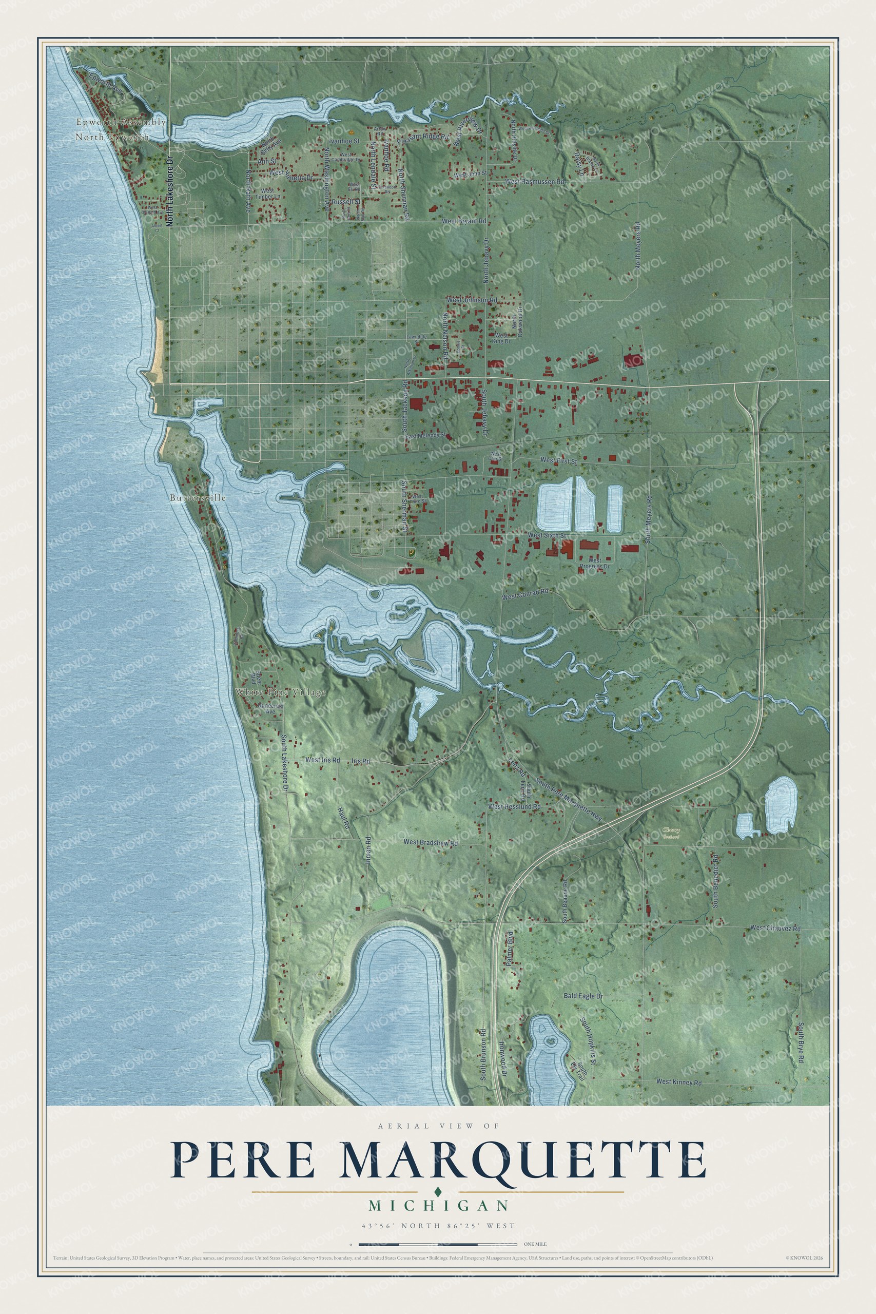
This beautifully detailed map of Pere Marquette, Michigan was created in 2026 using aerial imagery combined with modern topographical, census, street and landmark data. It's a modern aerial view of Pere Marquette in Mason County, Michigan, that combines modern data with a vintage aesthetic. The roads feature printed names, and if you look closely you can find your exact house accurately shown in its correct location.
Explore an aerial view of Pere Marquette, Michigan
On this map you'll find Epworth Assembly, North Epworth, Buttersville, White Pine Village, Cherry Orchard, North Lakeshore Drive, West Bryant Road, North Rath Avenue, North Meyers Road, South Brunson Road, West Hesslund Road, South Pere Marquette Highway, and more. Each red shape is a building, so zoom in on the preview and look for yours.
Pere Marquette has a story worth telling. The History of Mason County puts it this way: "In 1847, Joseph Boyden entered seventy-two acres fronting on Pere Marquette Lake, and the same year, Charles Mears made his first entries of land at what is now called Lincoln."
The Census Bureau counted 2,416 people here in 2020.
Take a closer look at the Pere Marquette map
Names on this map
These names are printed on this map.
Places: Epworth Assembly, North Epworth, Buttersville, White Pine Village and Cherry Orchard.
Streets and roads: North Lakeshore Drive, West Bryant Road, North Rath Avenue, North Meyers Road, South Brunson Road, West Hesslund Road, South Pere Marquette Highway, South Lakeshore Drive, West Chauvez Road, West Bradshaw Road, South Meyers Road, North Jebavy Drive.
More street names, A to Z
Albert Court, Ann Street, Arrow Road, Bald Eagle Drive, Bonnie Street, Curtwood Road, Daisy Lane, Dunecrest Avenue, East Melendy Street, Epworth Avenue, Haul Road, Inman Road, Iris Road, Ironwood Drive, Ivanhoe Road, Ivanhoe Street, Lawndale Street, Lenz Road, North Atkinson Drive, North Betty Avenue, North Brandy Lane, North Ellis Road, North Gary Street, North Hillside Drive, North Lendale Street, North Nelson Road, North Oakwood Drive, North Sherman Road, North Washington Avenue, Palmer Boulevard, Pleasant Ridge Road, Rohrmoser Road, Russell Street, South Beaune Road, South Benedict Road, South Brye Road, South Elk Trail, South Hopkins Street, South Jackson Road, South Jebavy Drive, South Lenz Road, South Sherman Street, Speer Boulevard, West Cambridge Drive, West Carr Street, West Conrad Road, West Eli Road, West First Street, West Iris Road, West Johnson Road, West John Street, West King Drive, West Kinney Road, West Orchard Avenue, West Progress Drive, West Rasmussen Road, West Riverside Drive, West Riverview Drive, West Sixth Street, West Third Street, West Timber Lane, West Virnetta Drive.
Created by KNOWOL in 2026. The buildings are small red shapes, the roads carry their printed names, and shaded relief shows the shape of the land. The title panel reads "AERIAL VIEW OF PERE MARQUETTE, MICHIGAN" with 43°56' NORTH 86°25' WEST.
It looks right in a kitchen, an office or a den, and it's a gift for anyone who grew up in Pere Marquette or moved away. Open the preview and find your street. See sizes and frames for the Pere Marquette map.