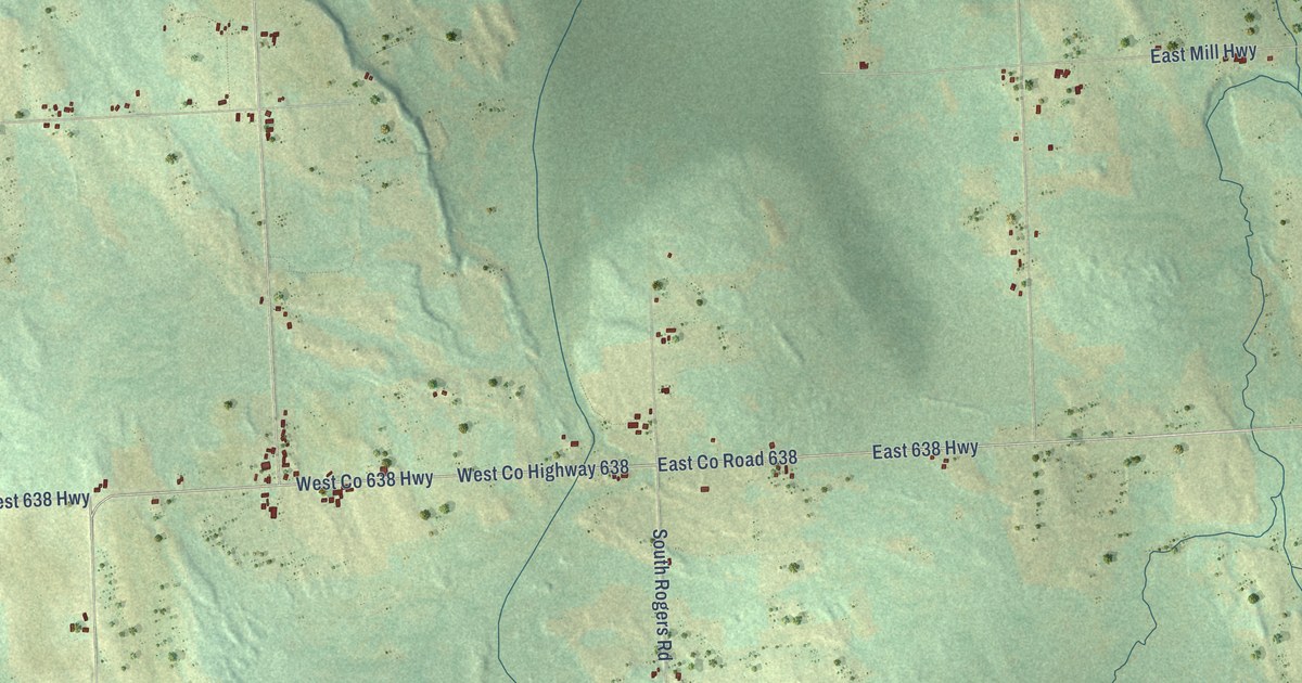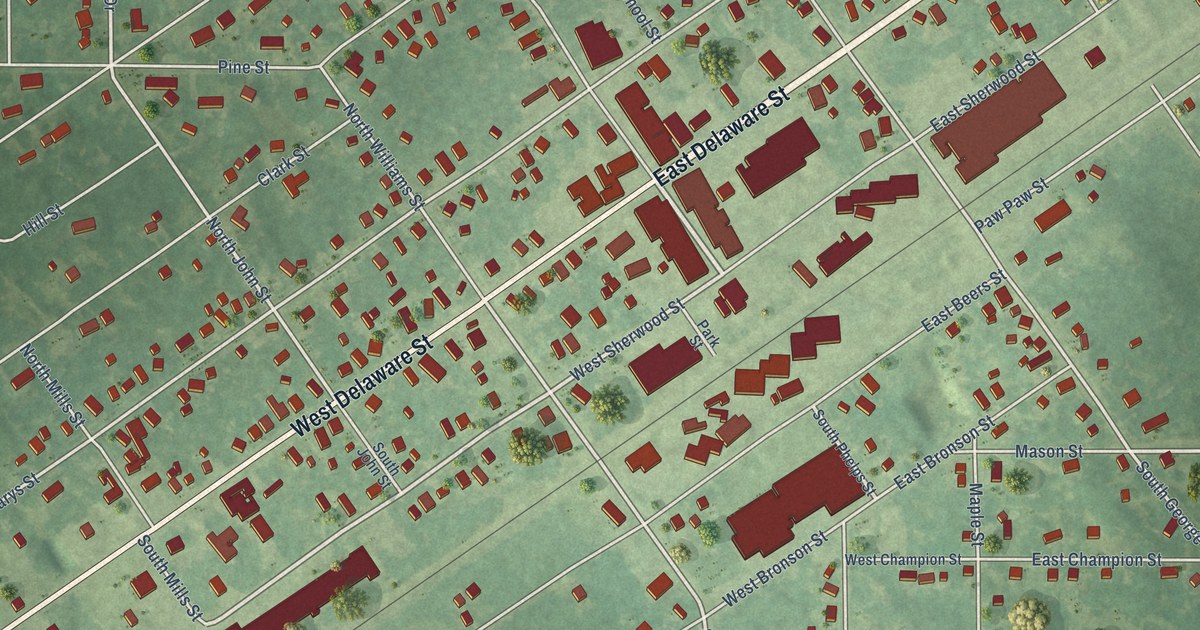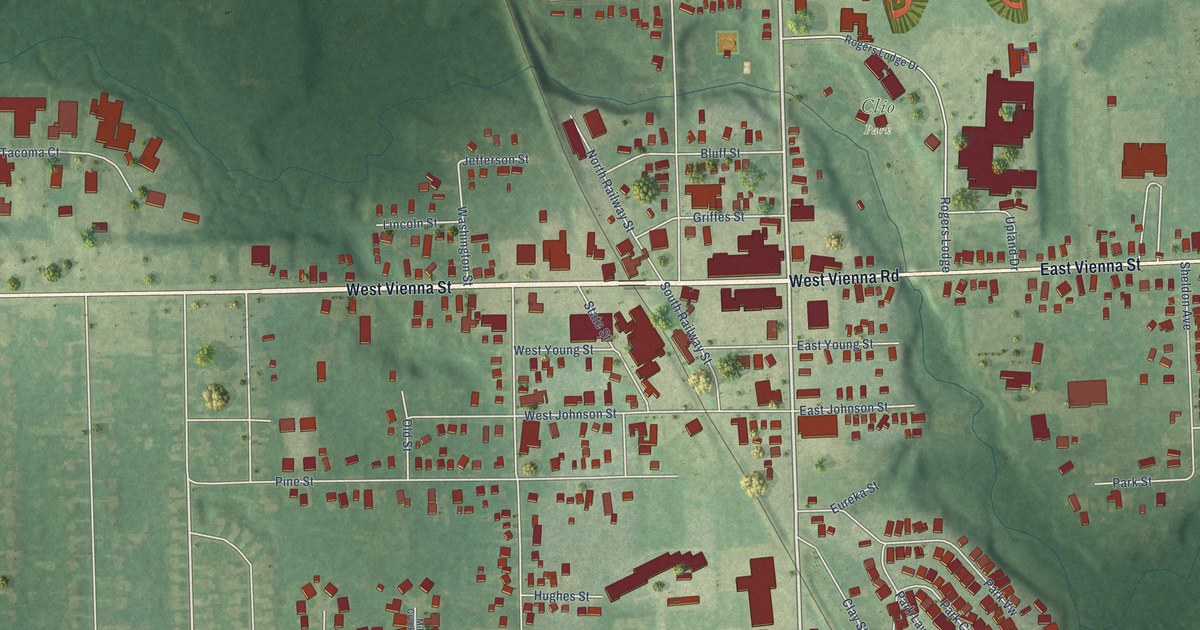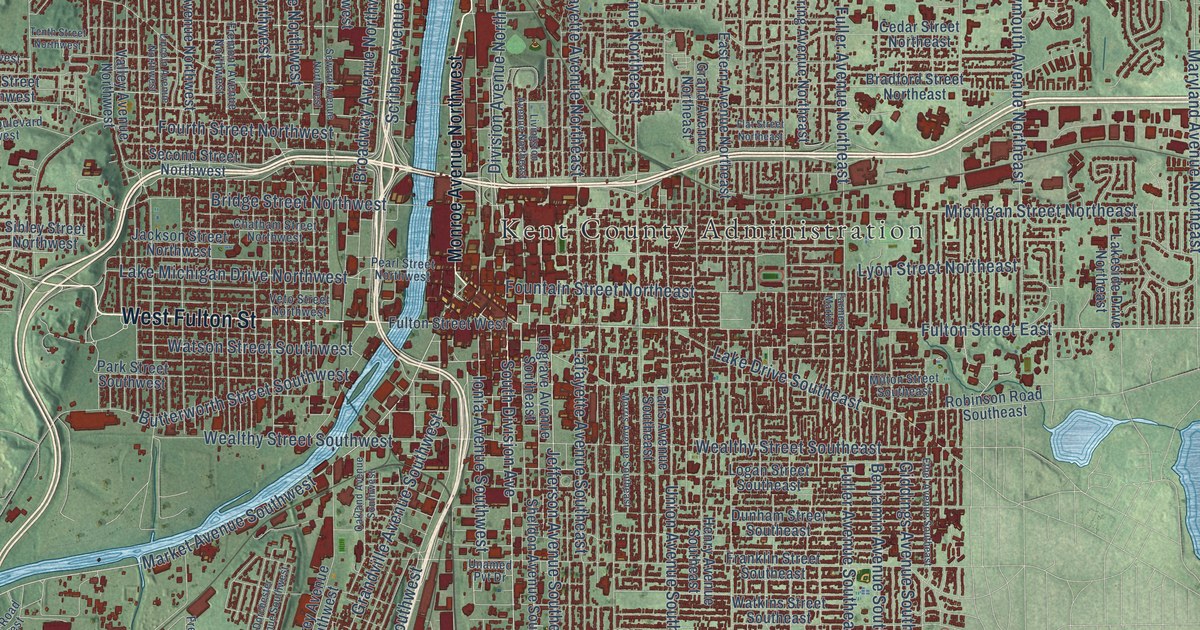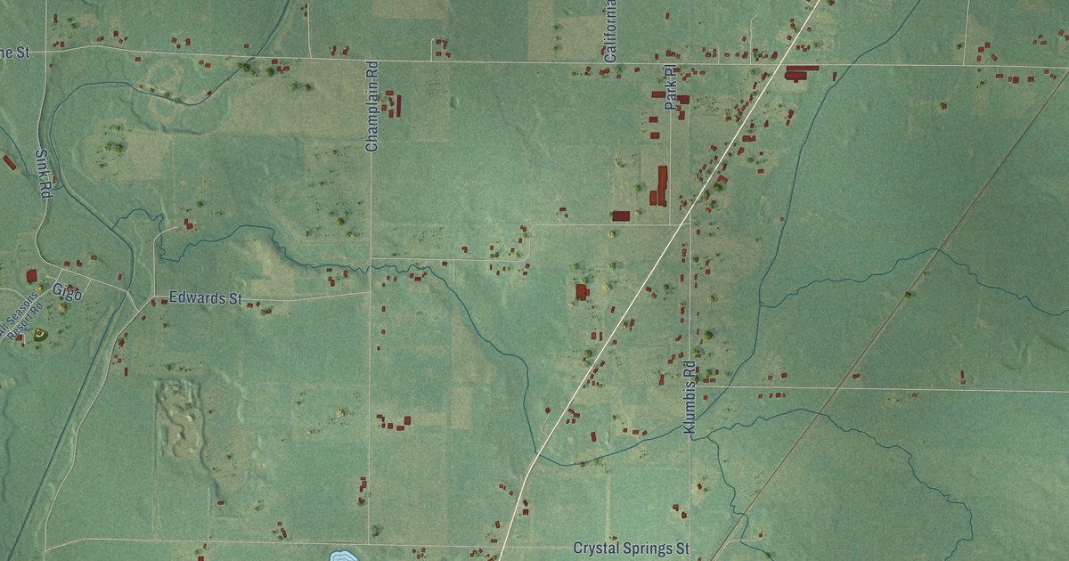
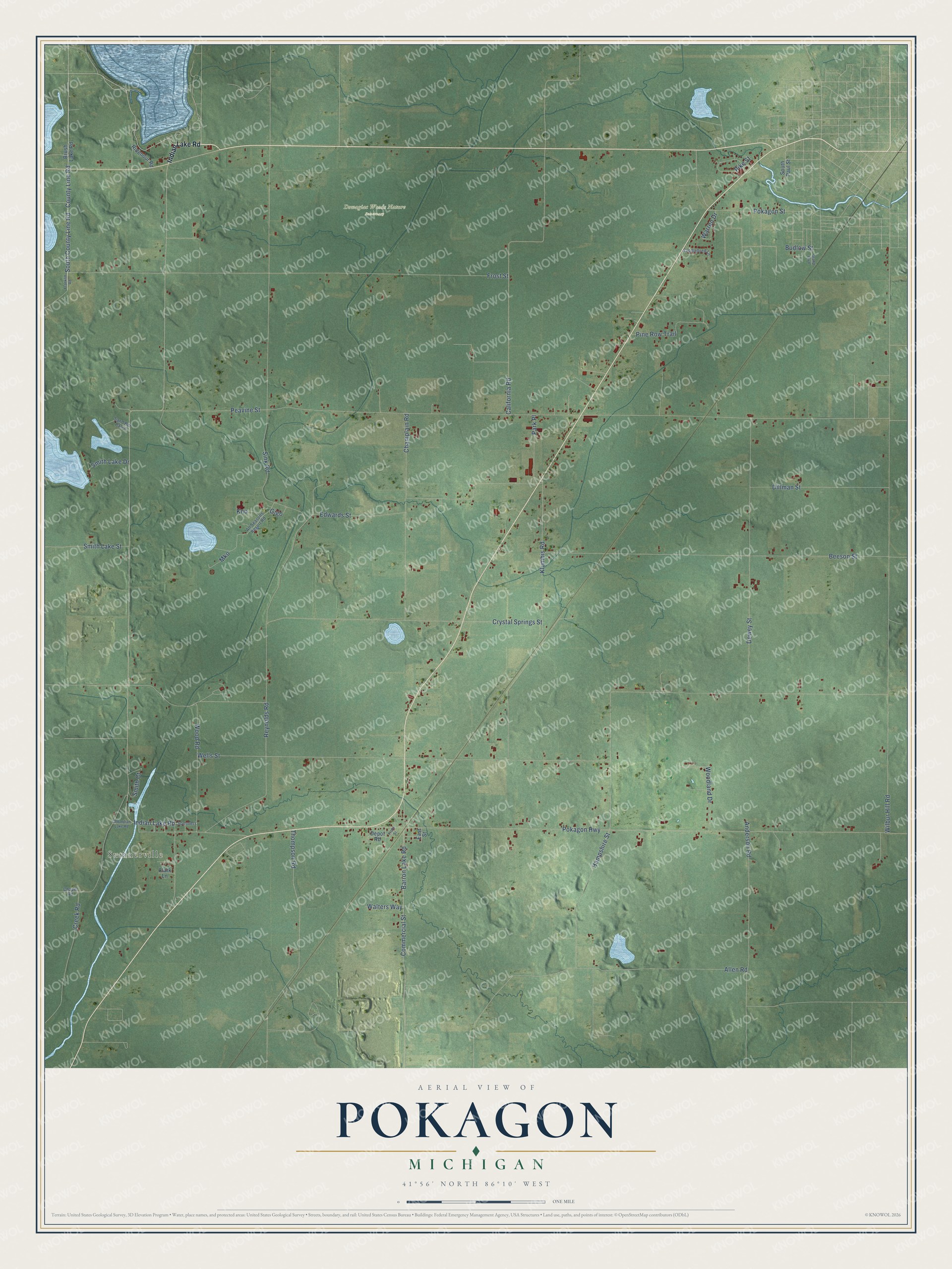
This beautifully detailed map of Pokagon, Michigan was created in 2026 using aerial imagery combined with modern topographical, census, street and landmark data. It's a modern aerial view of Pokagon in Cass County, Michigan, that combines modern data with a vintage aesthetic. The roads feature printed names, and if you look closely you can find your exact house accurately shown in its correct location.
Explore an aerial view of Pokagon, Michigan
On this map you'll find Sumnerville, Dowagiac Woods Nature Sanctuary, South County Line Road, County Line Road, Indian Lake Road, Barron Lake Road, Crystal Springs Street, Peavine Street, Pokagon Highway, Wilbur Hill Road, Hampshire Street, Frost Street, and more. Each red shape is a building, so zoom in on the preview and look for yours.
Pokagon has a story worth telling. The History of Cass County puts it this way: "The pioneers of Pokagon were not negligent of that first care of all thoughtful American citizens, the schoolhouse. In the fall of 1828, they procured the cabin built by Potter, and in it Mrs. Gamaliel Townsend taught the first school that was held in that State west of Detroit and Monroe, with the exception of the mission school at Carey."
The Census Bureau counted 2,119 people here in 2020.
Take a closer look at the Pokagon map
Names on this map
These names are printed on this map.
Places: Sumnerville and Dowagiac Woods Nature Sanctuary.
Streets and roads: South County Line Road, County Line Road, Indian Lake Road, Barron Lake Road, Crystal Springs Street, Peavine Street, Pokagon Highway, Wilbur Hill Road, Hampshire Street, Frost Street, Wells Street, Sink Road.
More street names, A to Z
Allen Road, All Seasons Resort Road, Anderson Road, Beeson Street, Brush Lake Road, Budlow Street, California Road, Champlain Road, Chapel Road, Clark Lane, Commercial Street, Creek Road, Depot Road, Dewey Street, Dillman Street, East Street, Edwards Street, Franklin Road, Front Street, Gigo, Grand Boulevard, Klumbis Road, Kno, Mko, Old Indian Lake Road, Park Place, Pike Street, Pine Row Trail, Pokagon Street, Reynolds Road, Ridenour Road, Saddlebred Lane, Sand Bur Patch, Smith Court, Smith Lake Drive, Smith Lake Street, Sommers, South Paul Street, Thompson Road, Walters Way, Warren Drive, Woodland Drive, Wood Road.
See it on a wall
The Pokagon map as a framed print. Swipe for more.


Created by KNOWOL in 2026. The buildings are small red shapes, the roads carry their printed names, and shaded relief shows the shape of the land. The title panel reads "AERIAL VIEW OF POKAGON, MICHIGAN" with 41°56' NORTH 86°10' WEST.
It looks right in a kitchen, an office or a den, and it's a gift for anyone who grew up in Pokagon or moved away. Open the preview and find your street. See sizes and frames for the Pokagon map.