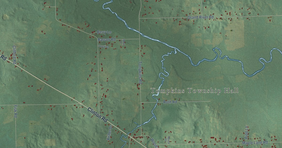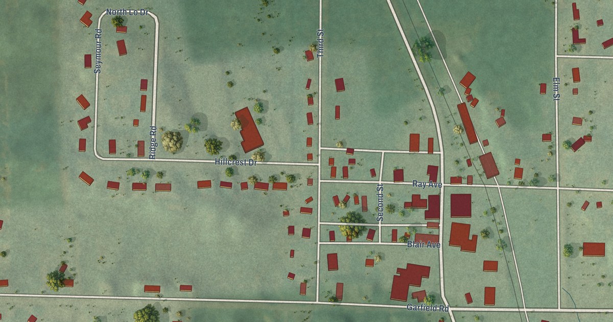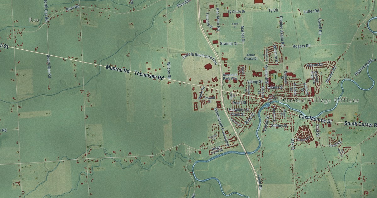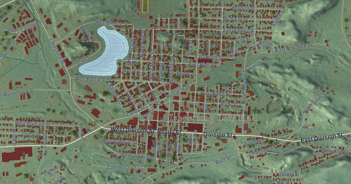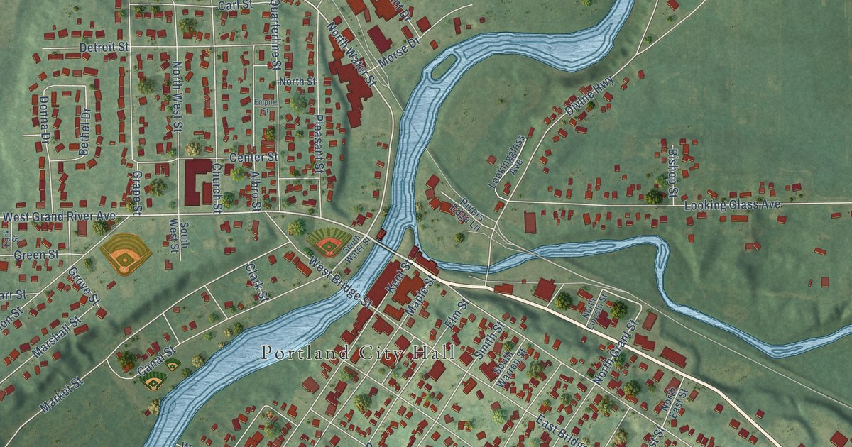
This beautifully detailed map of Portland, Michigan was created in 2026 using aerial imagery combined with modern topographical, census, street and landmark data. It's a modern aerial view of Portland in Ionia County, Michigan, that combines modern data with a vintage aesthetic. The roads feature printed names, and if you look closely you can find your exact house accurately shown in its correct location.
Explore an aerial view of Portland, Michigan
On this map you'll find Portland City Hall, Bogue Flats Recreation Area, East Grand River Avenue, West Grand River Avenue, Coleta Avenue, North Water Street, Okemos Street, Oak Street, North Grant Street, Looking Glass Avenue, Divine Highway, East Bridge Street, and more. Each red shape is a building, so zoom in on the preview and look for yours.
Portland has a story worth telling. The Michigan History Center puts it this way: "In 1833, Elisha Newman filed a federal land grant for extensive land around the Looking Glass and Grand Rivers that would later become the village of Portland."
Portland is a city in Ionia County. The Census Bureau counted 3,796 people here in 2020.
Take a closer look at the Portland map

Names on this map
These names are printed on this map.
Places: Portland City Hall and Bogue Flats Recreation Area.
Streets and roads: East Grand River Avenue, West Grand River Avenue, Coleta Avenue, North Water Street, Okemos Street, Oak Street, North Grant Street, Looking Glass Avenue, Divine Highway, East Bridge Street, Kent Street, Market Street.
More street names, A to Z
Academy Street, Albro Street, Barley Avenue, Barr Street, Bethel Drive, Bishop Street, Blossom Drive, Bristie Street, Brush Street, Bud Plant Drive, Canal Street, Carl Street, Caroline Street, Catherine Street, Center Street, Charlotte Highway, Church Street, Clark Street, Cliff Drive, Cresent Drive, Cross Street, Cutler Road, Danby Street, Detroit Street, Donna Drive, East Orchard Street, Elm Street, Empire Street, Graham Lane, Grape Street, Green Street, Grove Street, Hill Street, Ionia Road, Island Street, James Street, Kearney Street, Knox Avenue, Lawrence Drive, Lillian, Lillian Boulevard, Lookingglass Avenue, Lyons Road, Maple Street, Marshall Street, Maynard Road, Meadow Lane, Morse Drive, Newton Street, North East Street, North Lincoln Street, North Street, North Virginia Drive, North West Street, Orchard Court, Parkers Drive, Park Street, Pleasant Street, Quarterline Street, Rebecca Street, Rindle Bluff Drive, Rindle Haven Cmns, Rivers Edge Lane, Riverside Drive, Rowe Avenue, Smith Street, South East Street, South Grant Street, South Lincoln Street, South Virginia Avenue, South Warren Street, South Water Street, South West Street, Storz Avenue, Tillies Avenue, Union Street, Vessey Street, West Bridge Street, West Orchard Street, Wild Plum Street.
See it on a wall
The Portland map as a framed print. Swipe for more.


Created by KNOWOL in 2026. The buildings are small red shapes, the roads carry their printed names, and shaded relief shows the shape of the land. The title panel reads "AERIAL VIEW OF CITY OF PORTLAND, IONIA COUNTY • MICHIGAN" with 42°52' NORTH 84°54' WEST.
It looks right in a kitchen, an office or a den, and it's a gift for anyone who grew up in Portland or moved away. Open the preview and find your street. See sizes and frames for the Portland map.