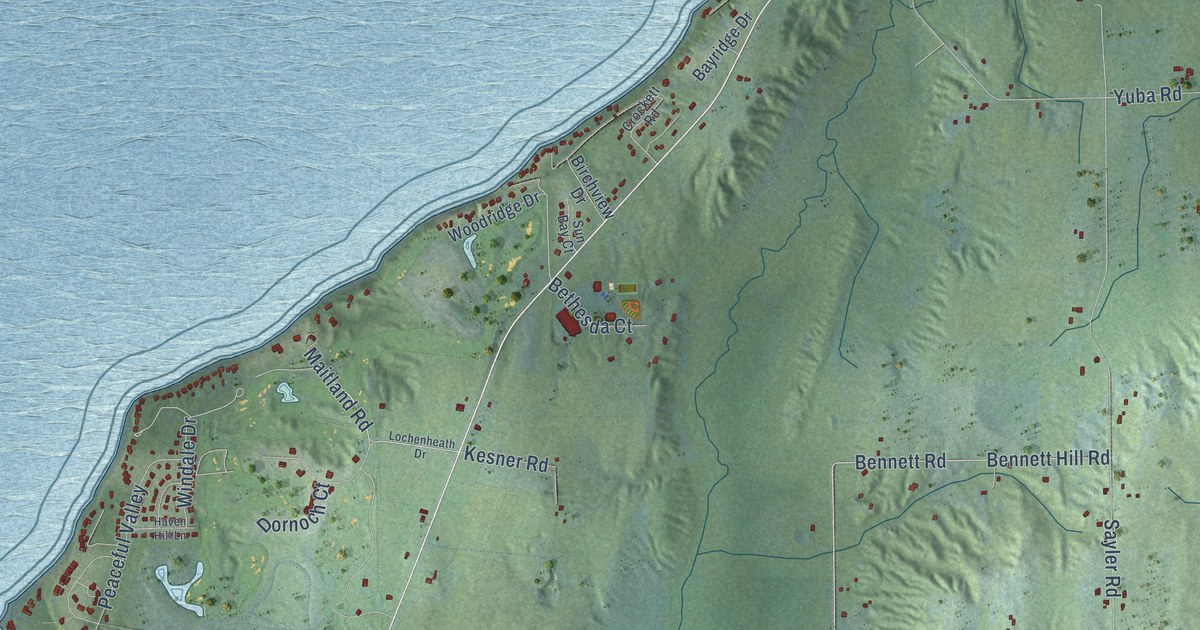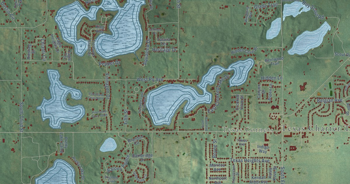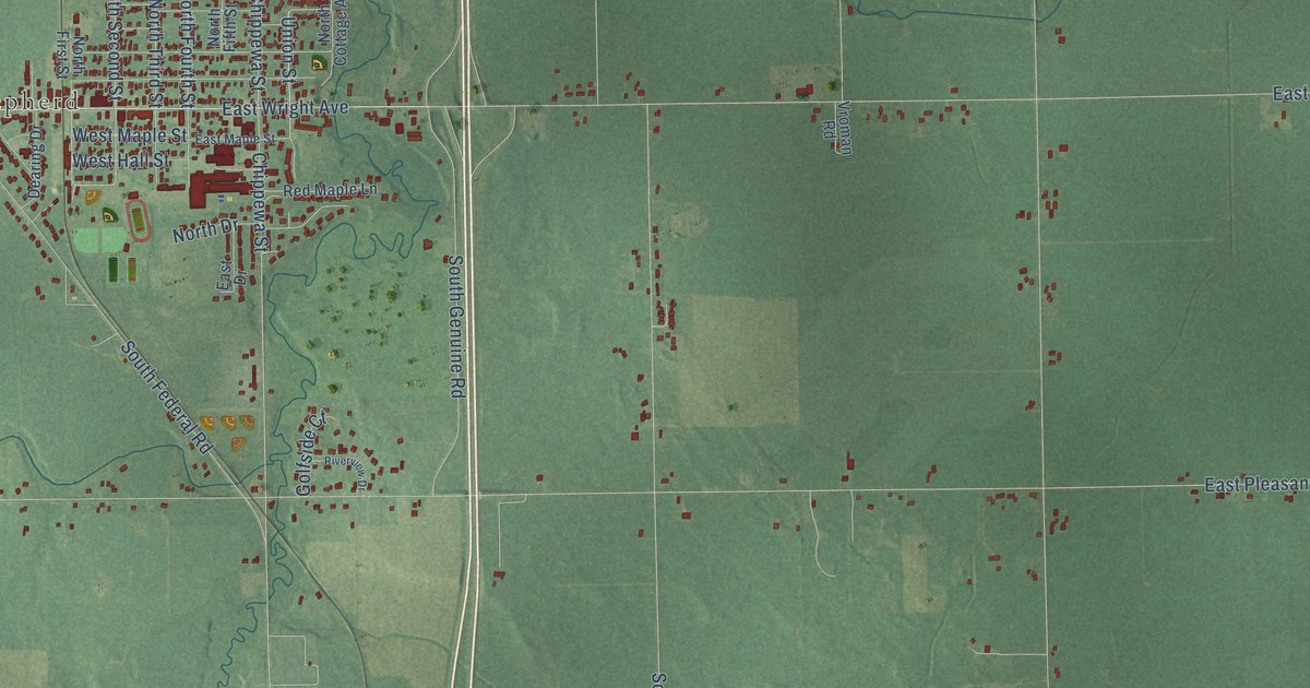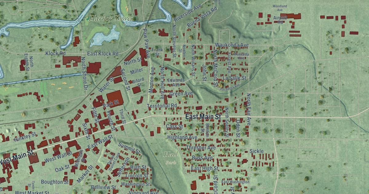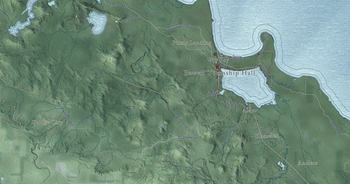
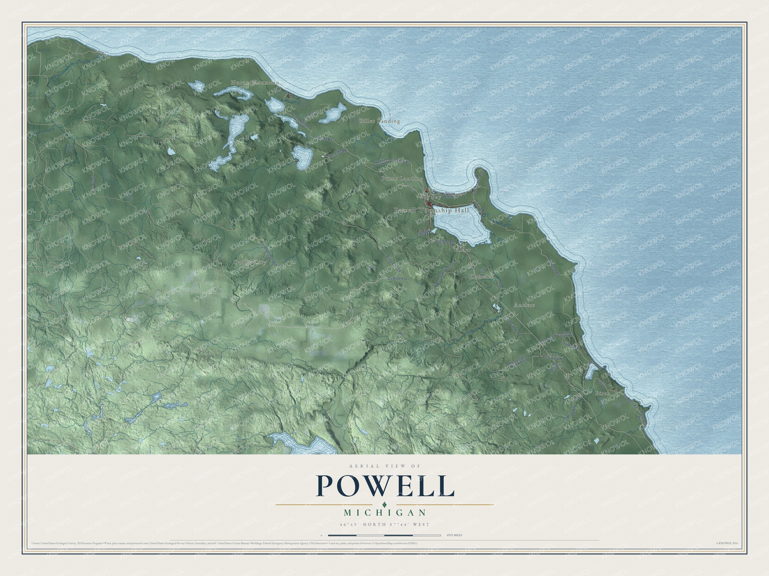
This beautifully detailed map of Powell, Michigan was created in 2026 using aerial imagery combined with modern topographical, census, street and landmark data. It's a modern aerial view of Powell in Marquette County, Michigan, that combines modern data with a vintage aesthetic. The roads feature printed names, and if you look closely you can find your exact house accurately shown in its correct location.
Explore an aerial view of Powell, Michigan
On this map you'll find Powell Township Hall, Birch, Huron Mountain, Antlers, Gillet Landing, Dodge City, Alder, Big Bay, Burns Landing, Homeier, Co Road Kb, Big Bay Road, and more. Each red shape is a building, so zoom in on the preview and look for yours.
Every town has a first chapter, and Powell is no exception. The Powell Township Master Plan puts it this way: "The first products shipped from Big Bay, an unincorporated community located within Powell Township, were white pine logs sent to Quebec."
The Census Bureau counted 734 people here in 2020.
Take a closer look at the Powell map
Names on this map
These names are printed on this map.
Places: Powell Township Hall, Birch, Huron Mountain, Antlers, Gillet Landing, Dodge City, Alder, Big Bay, Burns Landing and Homeier.
Streets and roads: County Road Kb, Big Bay Road, Dam Road, County Road Ke, Lighthouse Road, Kci, Erick, Northwestern Road, County Road Kk, Blind End 35, County Road Kt, Ives Lake Road.
More street names, A to Z
Alder Creek Truck Trail, Brown Deer Road, Buckroe Road, County Road Ka, County Road Kaa, County Road Kcg, County Road Kch, County Road Kj, County Road Kl, County Road Kp, County Road Kr, Erick Road, Ford Road, Gold Mine Road, Gravel Pit Road, Huron Mountain Club Road, Huron Road, Loma Farms Road, Saux Head Lake Road, Sullivan Creek Road, West Conway Road, Wilson Creek Truck Trail.
Created by KNOWOL in 2026. The buildings are small red shapes, the roads carry their printed names, and shaded relief shows the shape of the land. The title panel reads "AERIAL VIEW OF POWELL, MICHIGAN" with 46°49' NORTH 87°44' WEST.
Hang it in the hallway, the office or the cabin, or give it to someone who left Powell and still calls it home. Open the preview and look for a street you know. See sizes and frames for the Powell map.