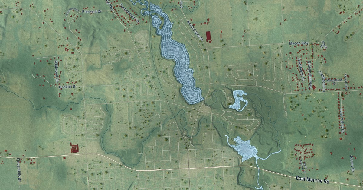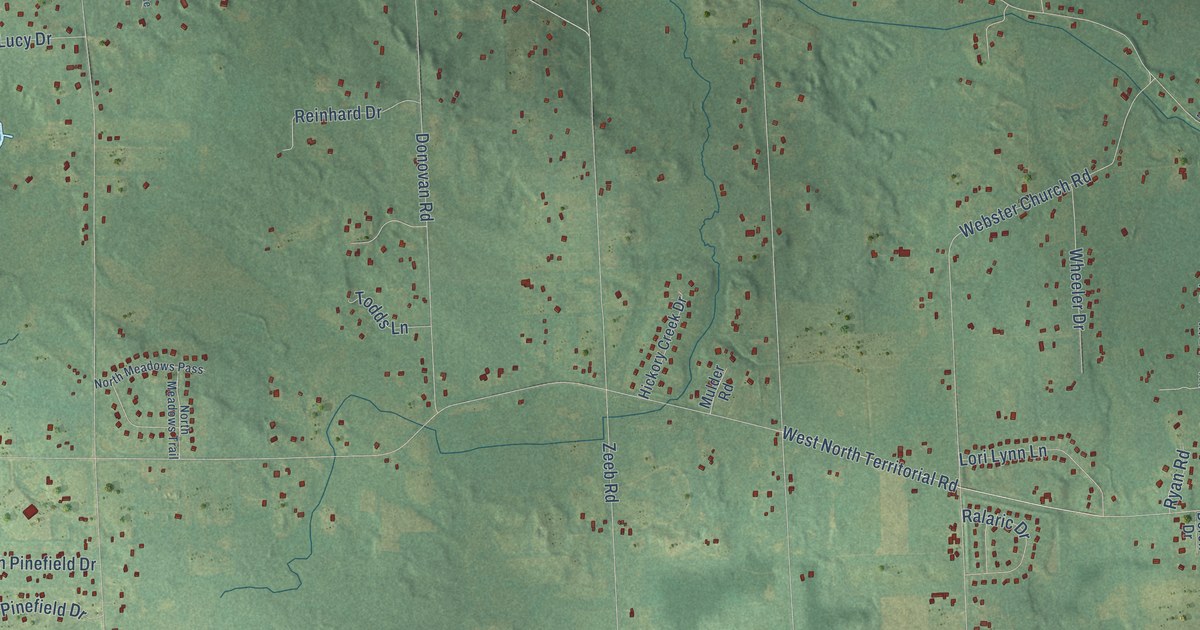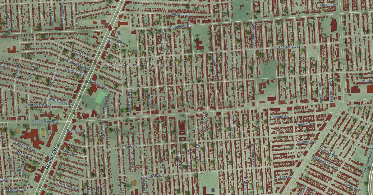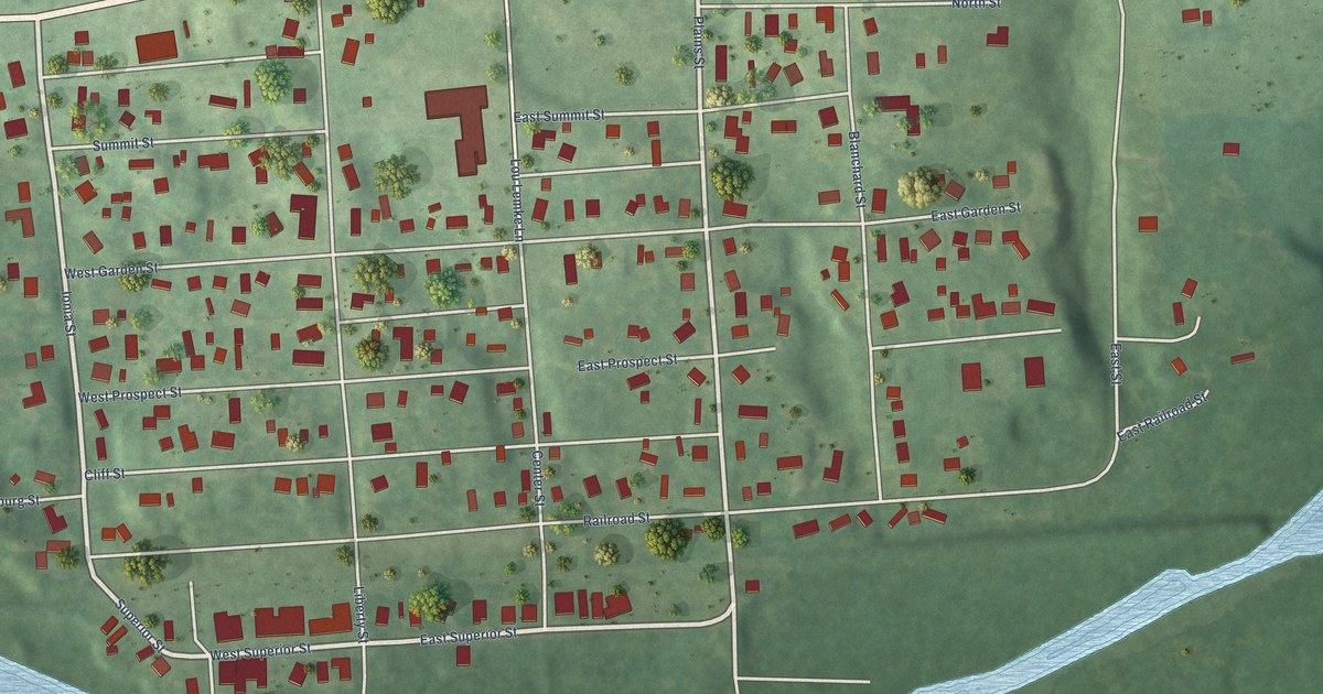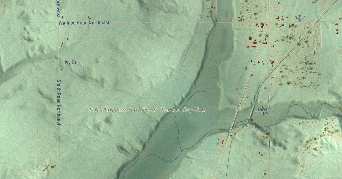
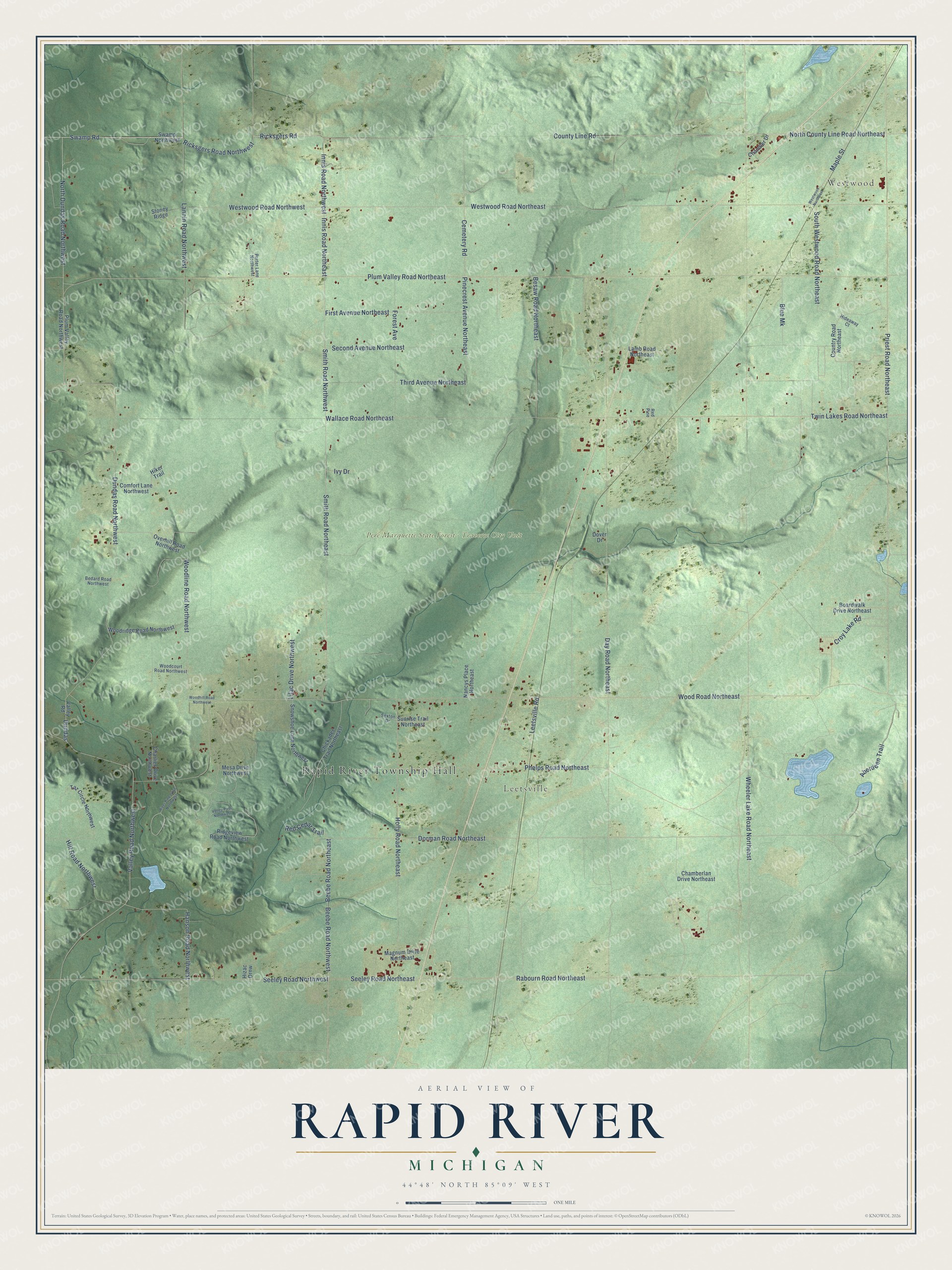
This beautifully detailed map of Rapid River, Michigan was created in 2026 using aerial imagery combined with modern topographical, census, street and landmark data. It's a modern aerial view of Rapid River in Kalkaska County, Michigan, that combines modern data with a vintage aesthetic. The roads feature printed names, and if you look closely you can find your exact house accurately shown in its correct location.
Explore an aerial view of Rapid River, Michigan
On this map you'll find Rapid River Township Hall, Westwood, Leetsville, Pere Marquette State Forest – Traverse City Unit, Ricksgers Road Northwest, North Dundas Road Northwest, County Line Road, Dorman Road Northeast, Innis Road Northeast, Innis Road Northwest, Ricksgers Road, Valley Road Northwest, and more. Each red shape is a building, so zoom in on the preview and look for yours.
Here is a piece of Rapid River history, in the words of the record. The Traverse Region puts it this way: "Rapid River was the first town organized, in what is now Kalkaska County. In 1868 a few settlers had located in the territory, and they were desirous of voting at the Presidential election."
The Census Bureau counted 1,245 people here in 2020.
Take a closer look at the Rapid River map
Names on this map
These names are printed on this map.
Places: Rapid River Township Hall, Westwood, Leetsville and Pere Marquette State Forest - Traverse City Unit.
Streets and roads: Ricksgers Road Northwest, North Dundas Road Northwest, County Line Road, Dorman Road Northeast, Innis Road Northeast, Innis Road Northwest, Ricksgers Road, Valley Road Northwest, Cemetery Road, Seeley Road Northwest, North County Line Road Northeast, Dundas.
More street names, A to Z
Aberdeen Trail, Bedard Road Northwest, Beebe Road Northeast, Beebe Road Northwest, Besaw Road Northeast, Blue Mk, Boardwalk Drive Northeast, Chamberlan Drive Northeast, Chandler Drive, Charlies Drive Northwest, Chickadee Trail Northeast, Comfort Lane Northwest, Country Road Northeast, Croy Lake Road, Day Road Northeast, Dover Drive, Dundas Road Northwest, First Avenue Northeast, Forest Avenue, Hanson Road Northwest, Hideaway Court, Hiker Trail, Hill Road Northwest, Hizac Drnw, Holly Road Northeast, Ivy Drive, Lamb Road Northeast, Lannin Road Northwest, Leetsville Road, Lilac Drive Northwest, Magnum Drive Northeast, Maple Street, Mesa Drive Northwest, Nancys Place Northeast, Overhill Road Northwest, Phelps Road Northeast, Pinecrest Avenue Northeast, Plum Valley Road Northeast, Plum Valley Road Northwest, Porter Lane Northwest, Priest Road Northeast, Rabourn Road Northeast, Red Cedar Trail, Red Pine, Ridgeview Road Northwest, River Pine Drive Northwest, Second Avenue Northeast, Seeley Road Northeast, Sexton Drive, Smith Road Northeast, Smith Road Northwest, Snowshoe Lane Northwest, South Westwood Road Northeast, Stoney Ridge, Sunrise Trail Northeast, Swamp Northwest, Swamp Road, Taz Circle Northwest, Third Avenue Northeast, Twin Lakes Road Northeast, Valley Pass Northwest, Valley Road, Wallace Road Northeast, Westwood Northeast, Westwood Road Northeast, Westwood Road Northwest, Wheeler Lake Road Northeast, Woodcourt Road Northwest, Woodhill Road Northwest, Woodline Road Northwest, Woodridge Road Northwest, Wood Road Northeast.
Created by KNOWOL in 2026. The buildings are small red shapes, the roads carry their printed names, and shaded relief shows the shape of the land. The title panel reads "AERIAL VIEW OF RAPID RIVER, MICHIGAN" with 44°48' NORTH 85°09' WEST.
It suits a den, a classroom or a front hall, and it makes a gift for anyone with Rapid River roots. Open the preview and find the block you know. See sizes and frames for the Rapid River map.