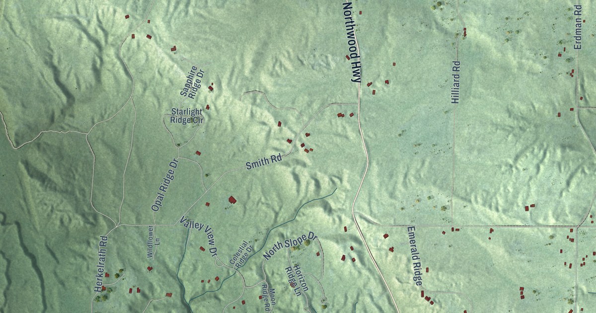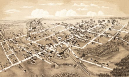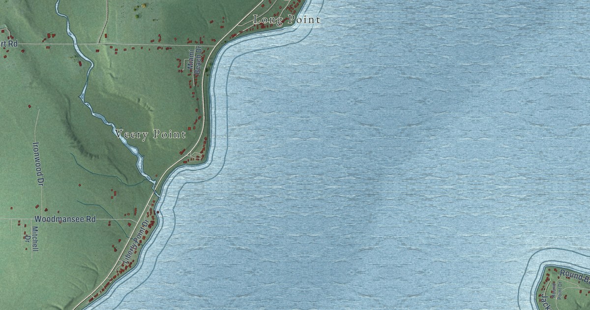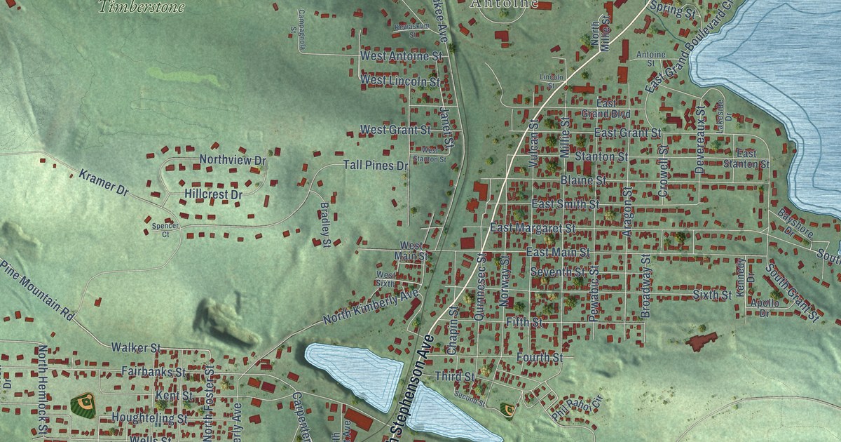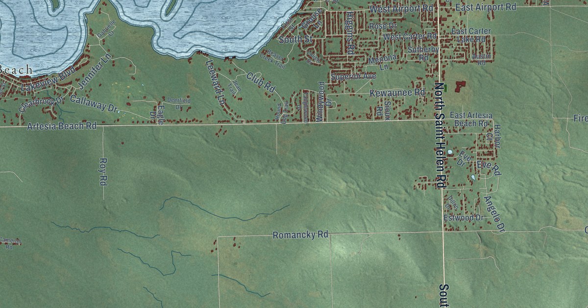
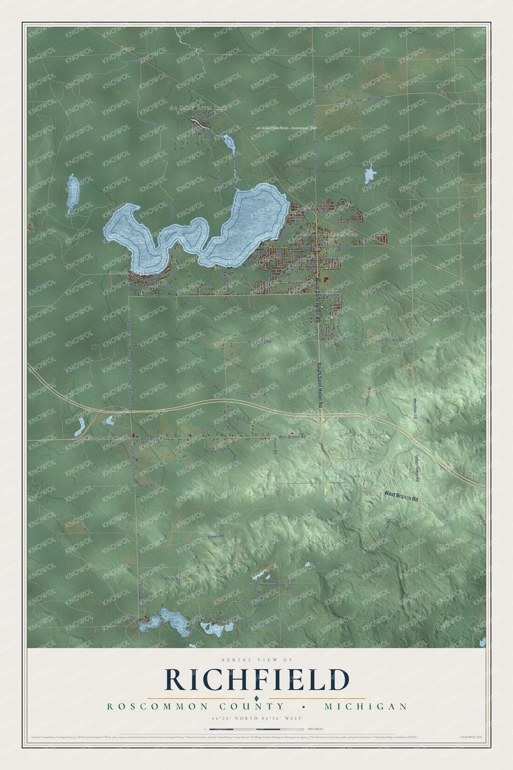
This beautifully detailed map of Richfield, Michigan was created in 2026 using aerial imagery combined with modern topographical, census, street and landmark data. It's a modern aerial view of Richfield in Roscommon County, Michigan, that combines modern data with a vintage aesthetic. The roads feature printed names, and if you look closely you can find your exact house accurately shown in its correct location.
Explore an aerial view of Richfield, Michigan
On this map you'll find Geels, Au Sable River Park, Maple Valley, Saint Helen, Au Sable State Forest – Roscommon Unit, Artesia Beach, South Saint Helen Road, North Saint Helen Road, West Branch Road, Meridian Road, Artesia Beach Road, West Airport Road, and more. Each red shape is a building, so zoom in on the preview and look for yours.
The Census Bureau counted 3,545 people here in 2020. The map prints the town name in its title panel, with the coordinates below it.
Take a closer look at the Richfield map
Names on this map
These names are printed on this map.
Places: Geels, Au Sable River Park, Maple Valley, Saint Helen, Au Sable State Forest - Roscommon Unit and Artesia Beach.
Streets and roads: South Saint Helen Road, North Saint Helen Road, West Branch Road, Meridian Road, Artesia Beach Road, West Airport Road, County Highway F-97, Ingleson Drive, Ash Avenue, Romancky Road, East West Branch Road, North Maple Valley Road.
More street names, A to Z
Amy Court, Angelo Drive, Austin Road, Autumn Drive, Beaver Creek Trail, Beaver Road, Callaway Drive, Cameron Road, Campground Road, Carter Lake Road, Central Drive, Clearbrook Drive, Club Road, Comer Trail, Cori Ridge Road, County Road F-97, Cove Drive, Deerfield Drive, Dillon Drive, Dunham Lake Road, Eagle Drive, East Airport Road, East Artesia Beach Road, East Carter Lake Road, East Madison Road, Elm Street, Emery Road, Estwood Drive, Eve Drive, Eve Road, Fire Trail, First Street, Ford Drive, Gabrielle Court, Geels Road, Grouse Lane, Harbor Court, Higgins Road, Hound Dog Trail, Hunter Run, Jackson Road, Jean Trail, Jennifer Lane, John Drive, Johnston Boulevard, June Avenue, Kewaunee Road, Lake Street, Lakeview Boulevard, Lane, Leeward Lane, Lila Street, Lolich Drive, Loon Lane, Maple Valley Road, Menona Lane, Moore Road, Nestel Road, Nettie Avenue, Oak Drive, Oak Road, Olde RR, Otter Drive, Pine Road, Polaris Street, Powers Court, Refuge Road, Reilly Road, Rod Lane, Rose Drive, Roy Road, Sandy Trail, School Road, Second Lake Road, Sioux Road, South Maple Valley Road, South Street, Spring Lake Road, Superior Avenue, Sutherby Road, Tanglewood Drive, Tippedy Drive, Towner Road, Twin Lake Road, Urban Ridge Road, Voight Road, Waco Road East, Washington Street, West Carter Road, West Pleasant Road, Windywood Drive, Witty Road, Woods Road, Zeuner Road.
Created by KNOWOL in 2026. The buildings are small red shapes, the roads carry their printed names, and shaded relief shows the shape of the land. The title panel reads "AERIAL VIEW OF RICHFIELD, ROSCOMMON COUNTY • MICHIGAN" with 44°20' NORTH 84°26' WEST.
Hang it in the hallway, the office or the cabin, or give it to someone who left Richfield and still calls it home. Open the preview and look for a street you know. See sizes and frames for the Richfield, Roscommon County map.