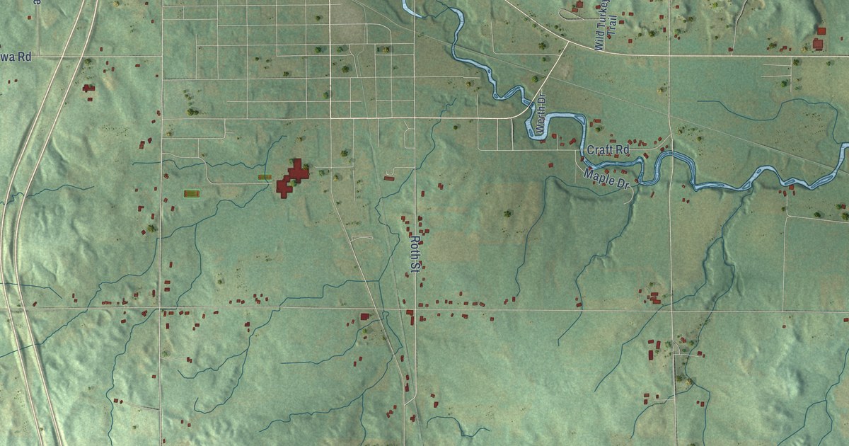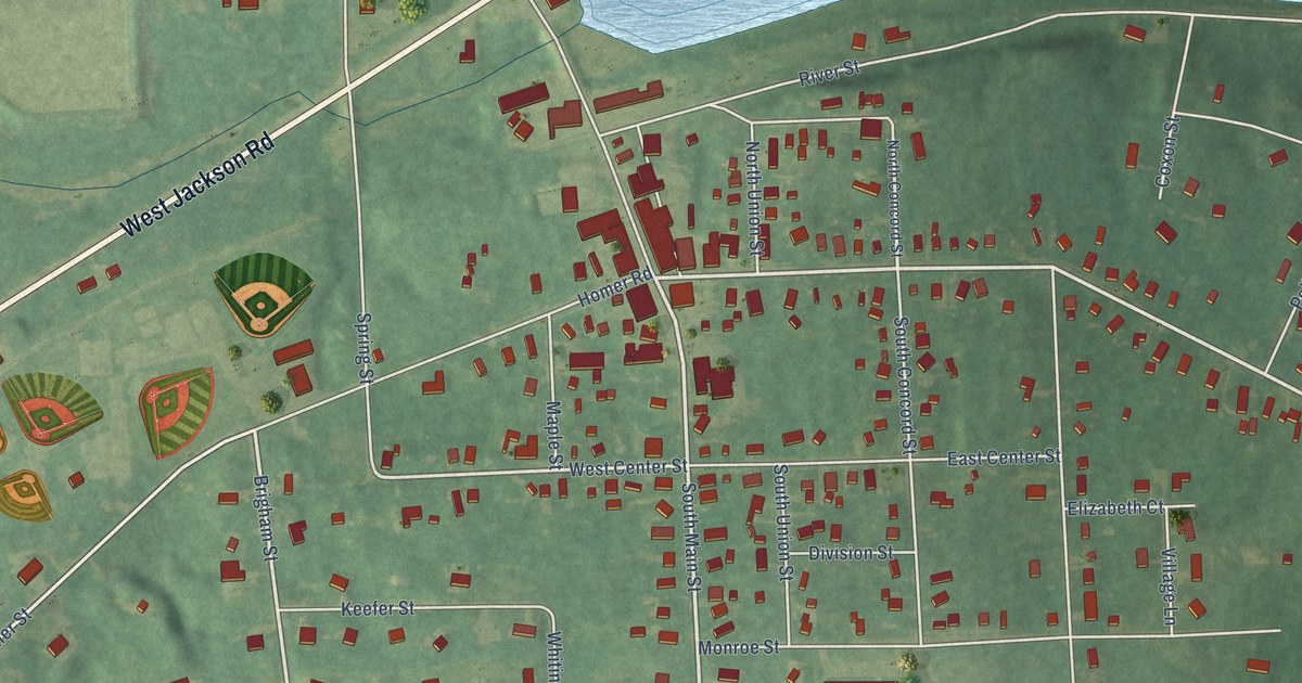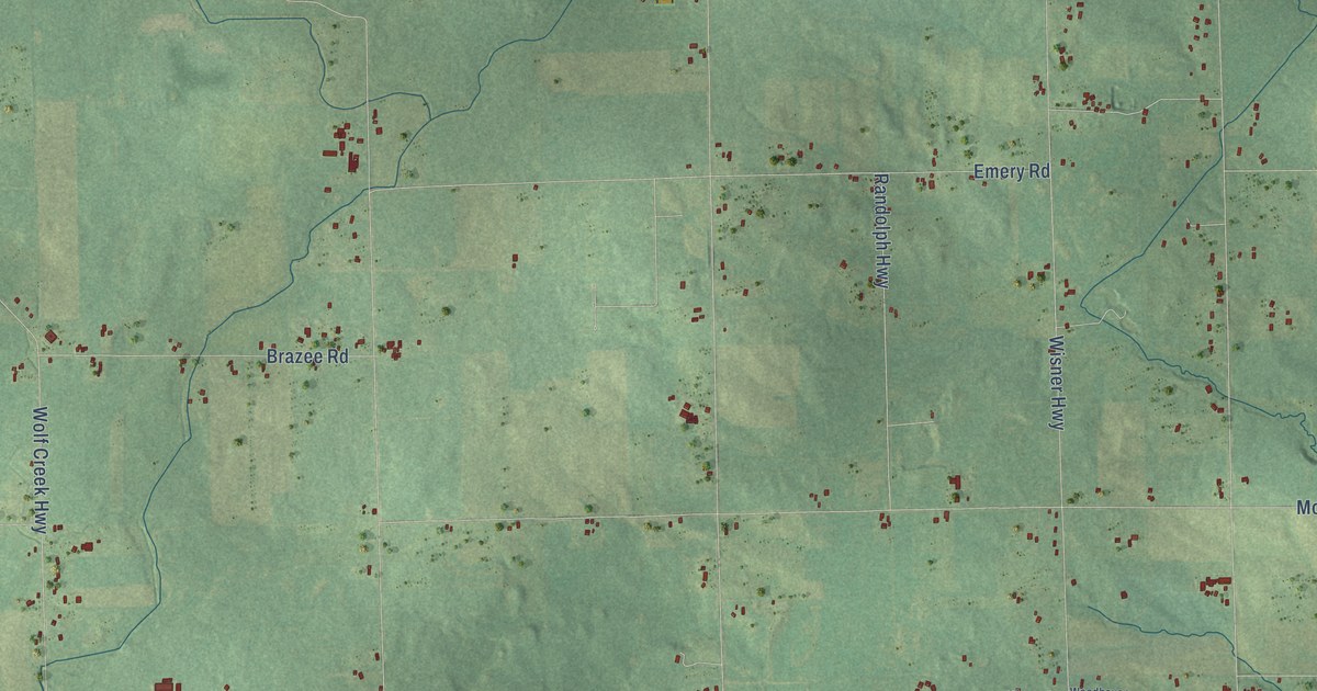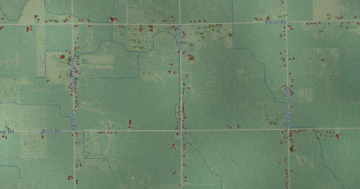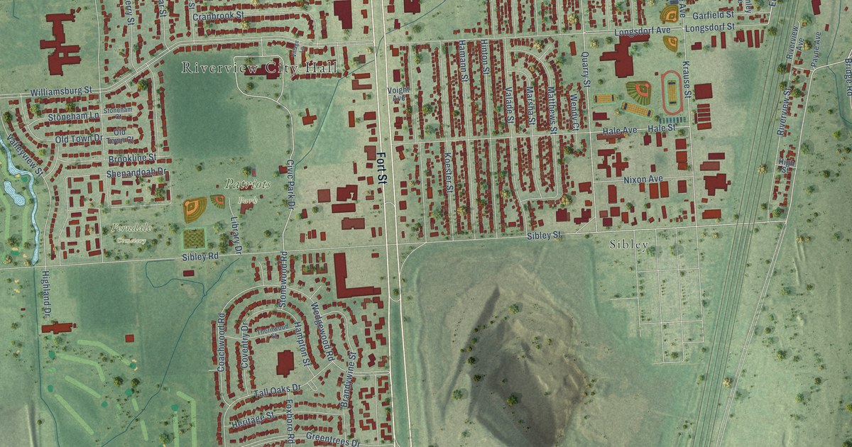
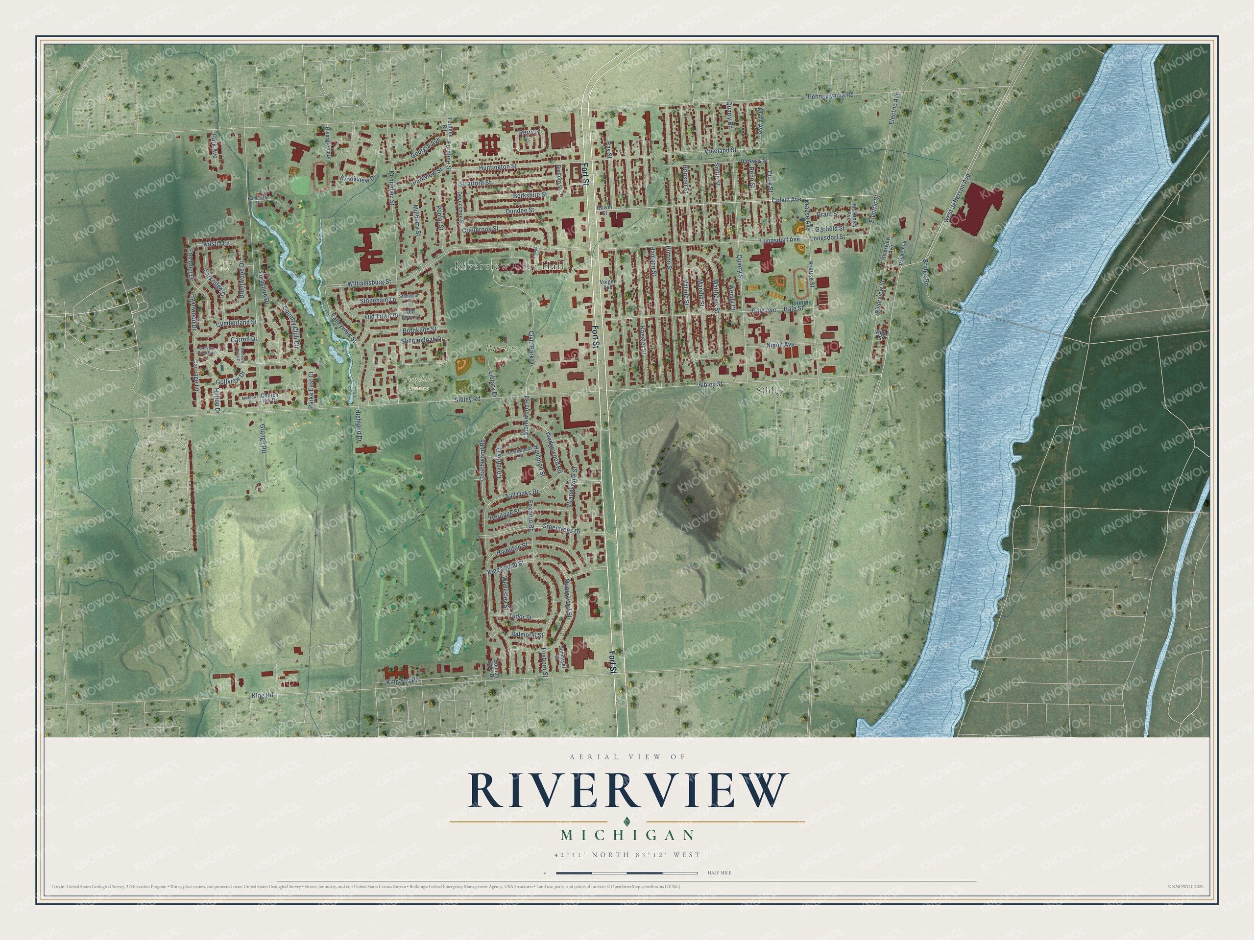
This beautifully detailed map of Riverview, Michigan was created in 2026 using aerial imagery combined with modern topographical, census, street and landmark data. It's a modern aerial view of Riverview in Wayne County, Michigan, that combines modern data with a vintage aesthetic. The roads feature printed names, and if you look closely you can find your exact house accurately shown in its correct location.
Explore an aerial view of Riverview, Michigan
On this map you'll find Riverview City Hall, Ferndale Cemetery, Patriots Park, Glens Park, Sibley, Fort Street, West Jefferson Avenue, Electric Street, Colvin Avenue, Kingswood Street, Civic Park Drive, Stonewood Road, and more. Each red shape is a building, so zoom in on the preview and look for yours.
Here is a piece of Riverview history, in the words of the record. The City of Riverview puts it this way: "The Village of Riverview remained intact until the late 1950s, when a resident drew up petitions to become a city."
Riverview is a city in Wayne County. The Census Bureau counted 12,490 people here in 2020.
Take a closer look at the Riverview map
Names on this map
These names are printed on this map.
Places: Riverview City Hall, Ferndale Cemetery, Patriots Park, Glens Park and Sibley.
Streets and roads: Fort Street, West Jefferson Avenue, Electric Street, Colvin Avenue, Kingswood Street, Civic Park Drive, Stonewood Road, Krause Street, Golfview Drive, Fordline Street, Sibley Street, Huntington Street.
More street names, A to Z
Balmoral Street, Bedford Street, Berkshire Street, Brandywine Street, Brentwood Drive, Bridge Road, Brinson Street, Brookline Street, Brookview Drive, Carriage Lane, Carroll Drive, Church Hill Drive, Clark Avenue, Clark Street, Coachwood Road, Colvin Street, Country Club Circle, Country Oaks Drive, Coventry Drive, Cranbrook Street, Cumberland Street, Devonshire Street, Dundee Street, Electric Avenue, Fordline Road, Foxboro Road, Foxboro Street, Fox Glen Drive, Garfield Street, Georgia Avenue, Golfview Drive Boulevard, Golfview Drive Court, Grange Road, Grant Street, Greentrees Drive, Hale Avenue, Hale Street, Hamann Street, Hamilton Street, Hampton Street, Heritage Street, Highland Drive, High Street, Hilltop Drive, Hinton Street, Homeister Drive, Kennebec Street, King Road, King Svc Road, Koester Street, Krause Avenue, Kristin Lane, Library Drive, Longsdorf Avenue, Longsdorf Street, Maplewood Street, Marsha Street, Matthews Street, Mc Kinley Avenue, Meadows Drive, Mulberry Street, Nixon Avenue, Old Town Court, Old Town Drive, Park Avenue, Parke East Court, Parkridge Drive, Parkview Street, Parkway Street, Payne Avenue, Pennsylvania Road, Perry Place, Poplar Street, Quarry Road, Quarry Street, Ray Street, Reno Street, Rivergreen Drive, Riverview Avenue, Riverview Street, Ryanwood Drive, Shenandoah Drive, Sibley Road, Smith Street, Somerset Court, Stoneham Court, Stoneham Lane, Stratford Street, Tall Oaks Drive, Thornwood Street, Tudor Street, Valade Street, Valleyview Street, Village Lane, Voight Avenue, Vreeland Street, Wedgewood Road, Wellesley Street, Wendy Court, Williamsburg Street, Yorkshire Drive.
Created by KNOWOL in 2026. The buildings are small red shapes, the roads carry their printed names, and shaded relief shows the shape of the land. The title panel reads "AERIAL VIEW OF RIVERVIEW, MICHIGAN" with 42°11' NORTH 83°12' WEST.
It suits a den, a classroom or a front hall, and it makes a gift for anyone with Riverview roots. Open the preview and find the block you know. See sizes and frames for the Riverview map.