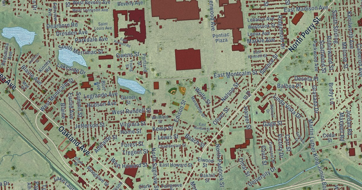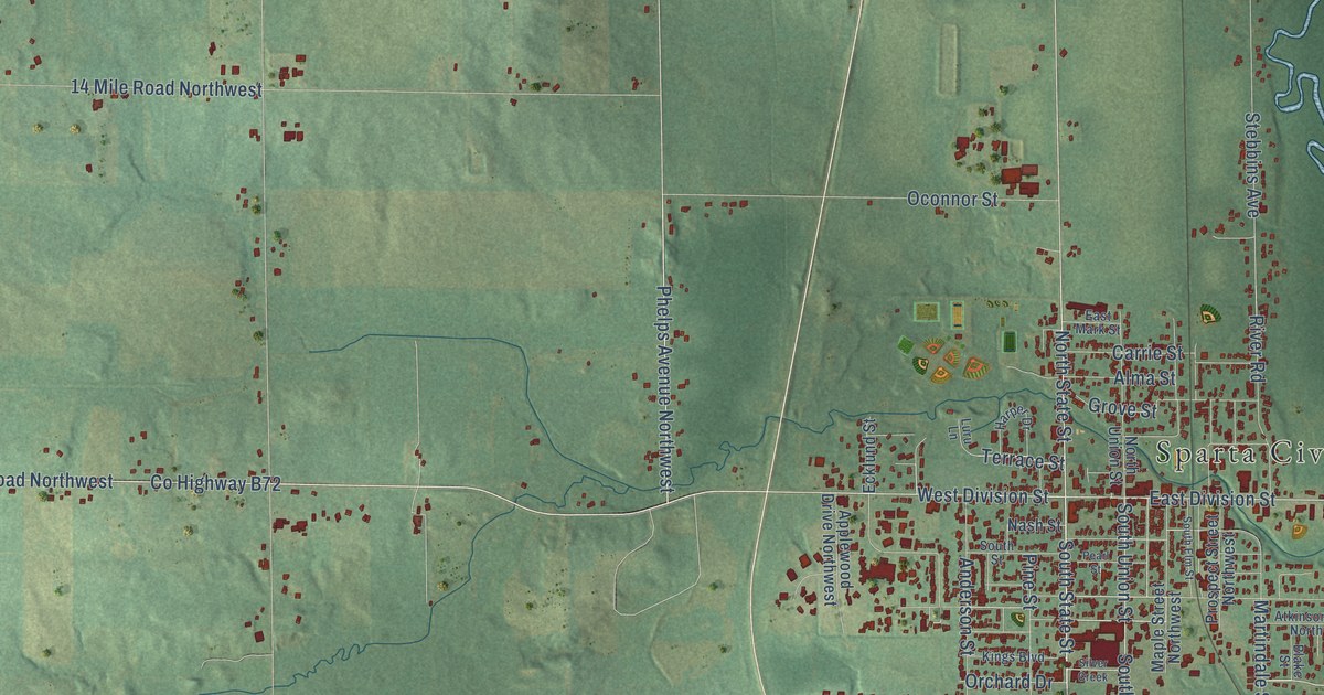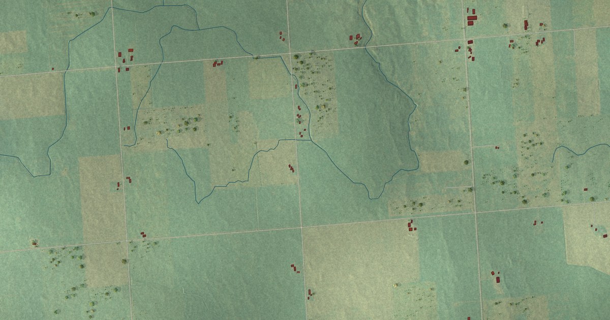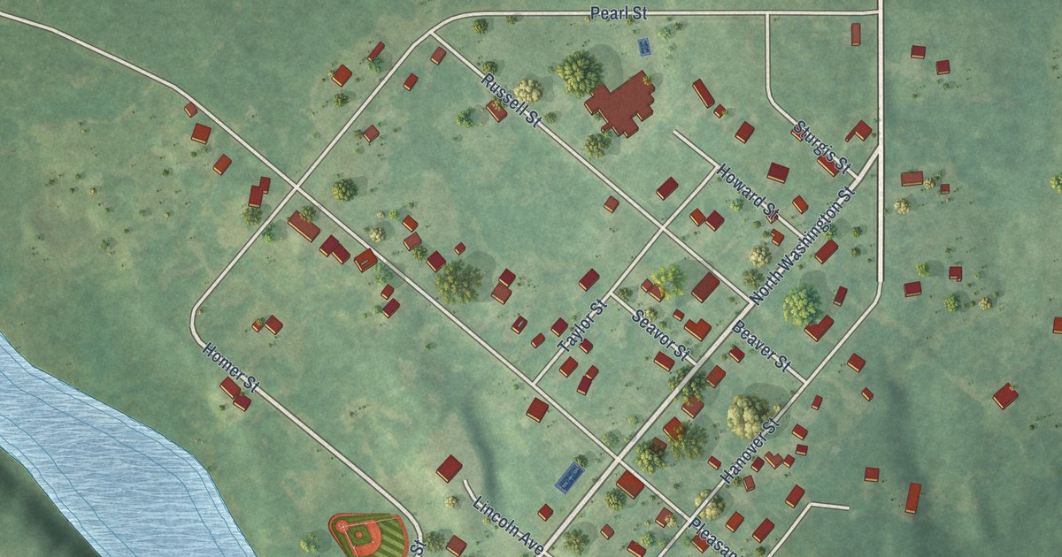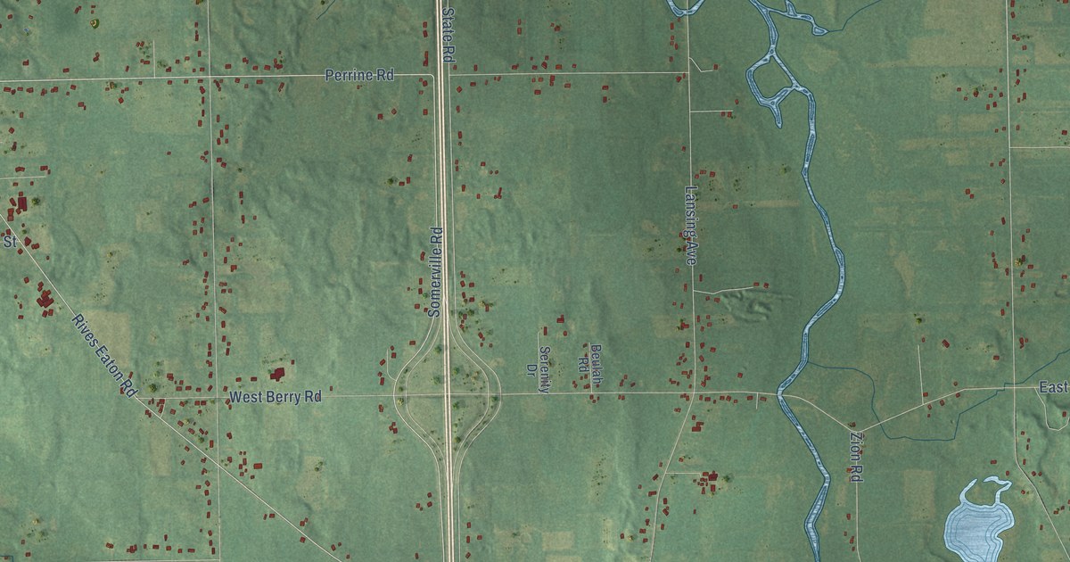
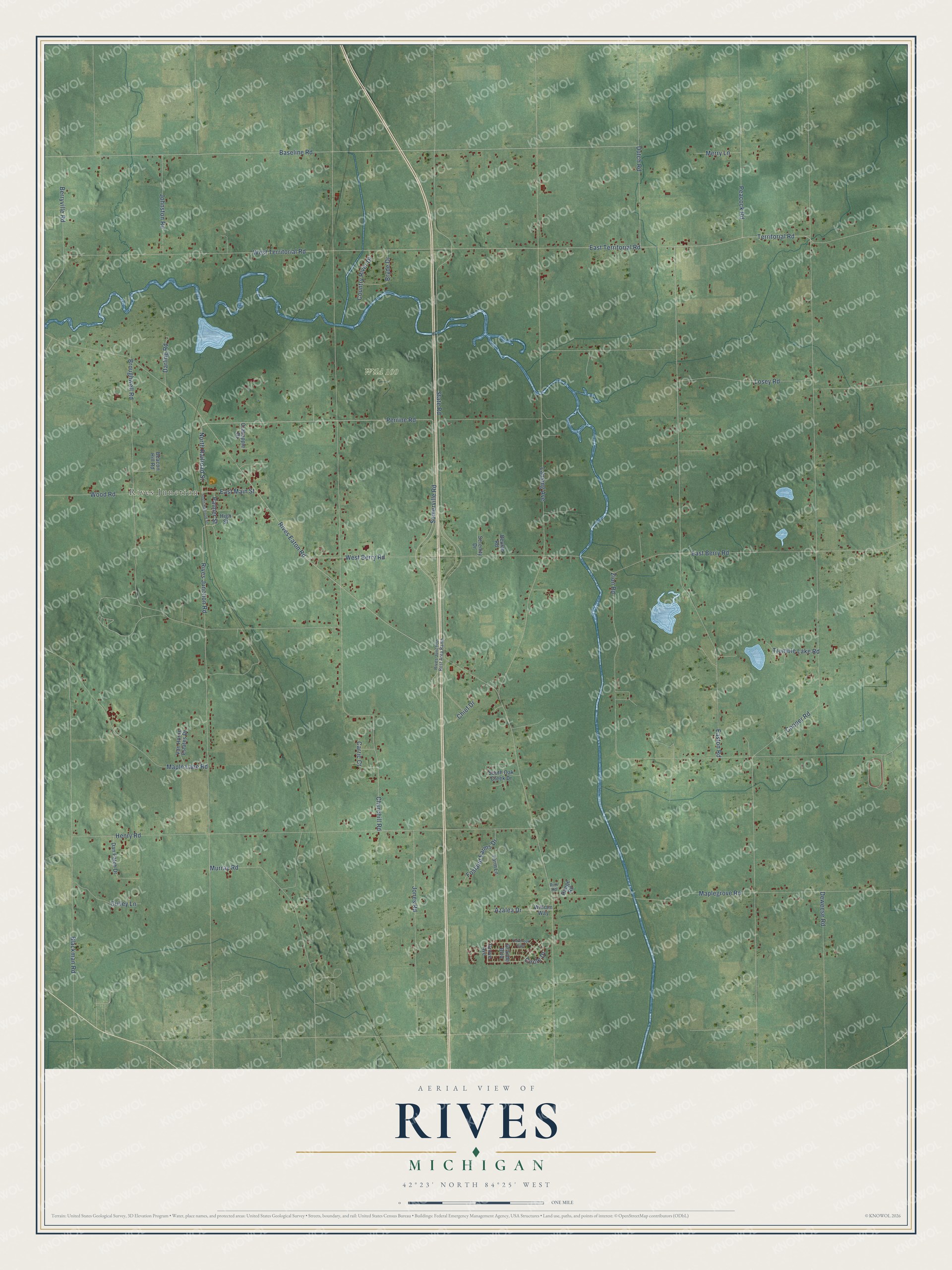
This beautifully detailed map of Rives, Michigan was created in 2026 using aerial imagery combined with modern topographical, census, street and landmark data. It's a modern aerial view of Rives in Jackson County, Michigan, that combines modern data with a vintage aesthetic. The roads feature printed names, and if you look closely you can find your exact house accurately shown in its correct location.
Explore an aerial view of Rives, Michigan
On this map you'll find Rives Junction, Wild 100, Perrine Road, Territorial Road, North Railroad Street, Somerville Road, Rives Eaton Road, Palmer Street, Easton Road, East Territorial Road, West Territorial Road, State Road, and more. Each red shape is a building, so zoom in on the preview and look for yours.
Rives has a story worth telling. The History of Jackson County puts it this way: "Samuel Prescott was the first postmaster in the town, an office being established at his house, and called the West Rives postoffice."
The Census Bureau counted 4,750 people here in 2020.
Take a closer look at the Rives map
Names on this map
These names are printed on this map.
Places: Rives Junction and Wild 100.
Streets and roads: Perrine Road, Territorial Road, North Railroad Street, Somerville Road, Rives Eaton Road, Palmer Street, Easton Road, East Territorial Road, West Territorial Road, State Road, Cooper Road, Lansing Avenue.
More street names, A to Z
Azalea Drive, Baseline Road, Beacon Hill Road, Berryville Road, Beulah Road, Blackman Road, Broughwell Road, Bryde Drive, Carric Court, Chief Drive, Churchill Road, Circle Drive, Country River Drive, Crabapple Drive, Culley Lane, Dan Patch Drive, Darling Road, Deweese Road, Dutch Road, East Berry Road, East Main Street, Farm Lane, Fosland Farms Drive, Grande Boulevard, Grove Avenue, Henry Road, High Street, Johnston Road, Jones Road, Losey Road, Maplegrove Road, Maple Lane Road, Merry Lane, Murray Road, Oakbrook East, Peacock Road, Range Road, Rim Road, Rives Junction Rest Area Ramp, Rives Junction Road, Serenity Drive, South Oak Creek Drive, South Railroad Street, Trumble Lake Road, Van Horne Estates Drive, West Berry Road, William Way, Wood Road, Zion Road.
See it on a wall
The Rives map as a framed print. Swipe for more.


Created by KNOWOL in 2026. The buildings are small red shapes, the roads carry their printed names, and shaded relief shows the shape of the land. The title panel reads "AERIAL VIEW OF RIVES, MICHIGAN" with 42°23' NORTH 84°25' WEST.
It looks right in a kitchen, an office or a den, and it's a gift for anyone who grew up in Rives or moved away. Open the preview and find your street. See sizes and frames for the Rives map.