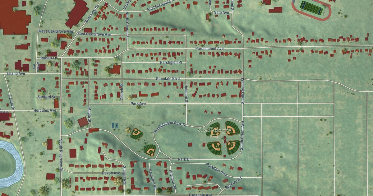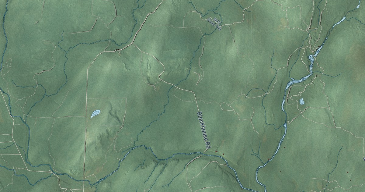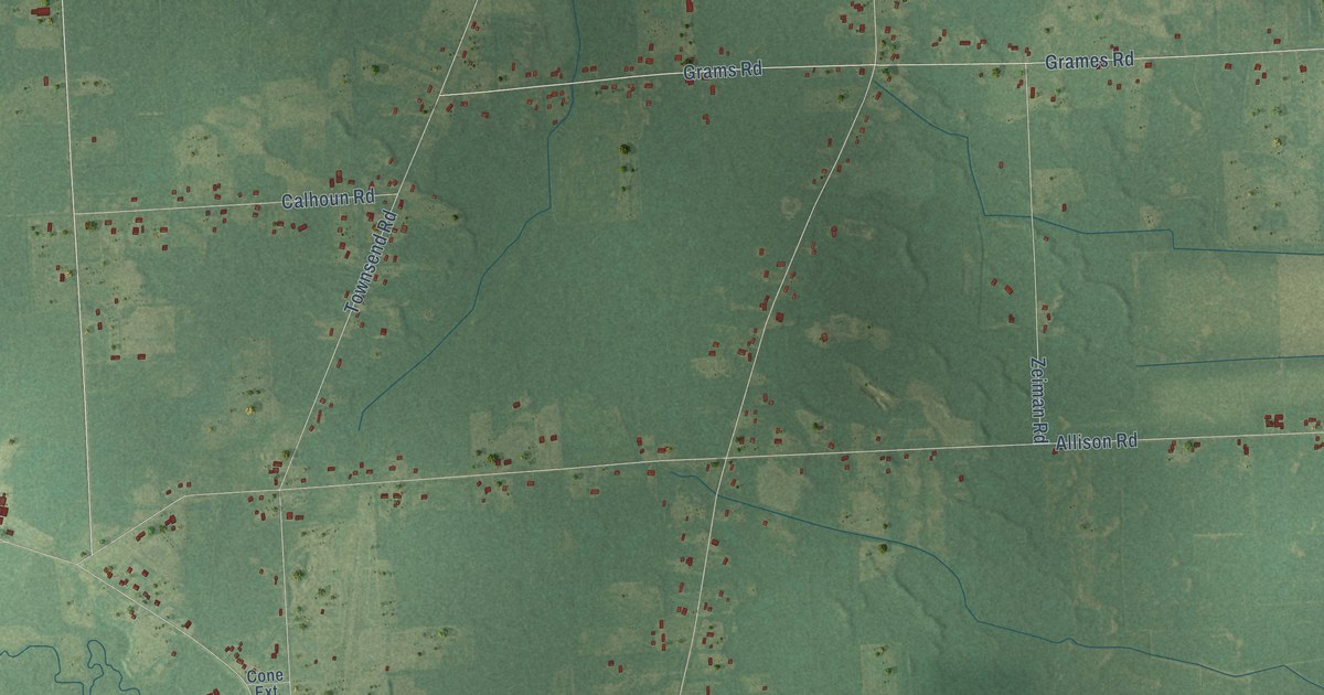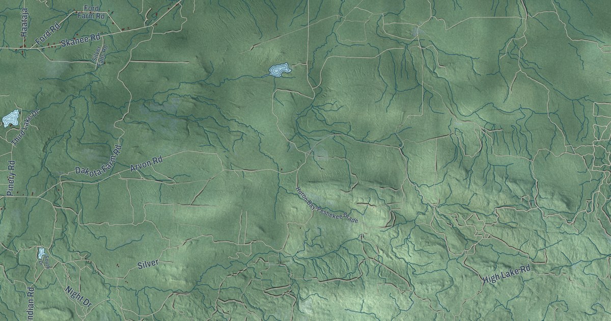
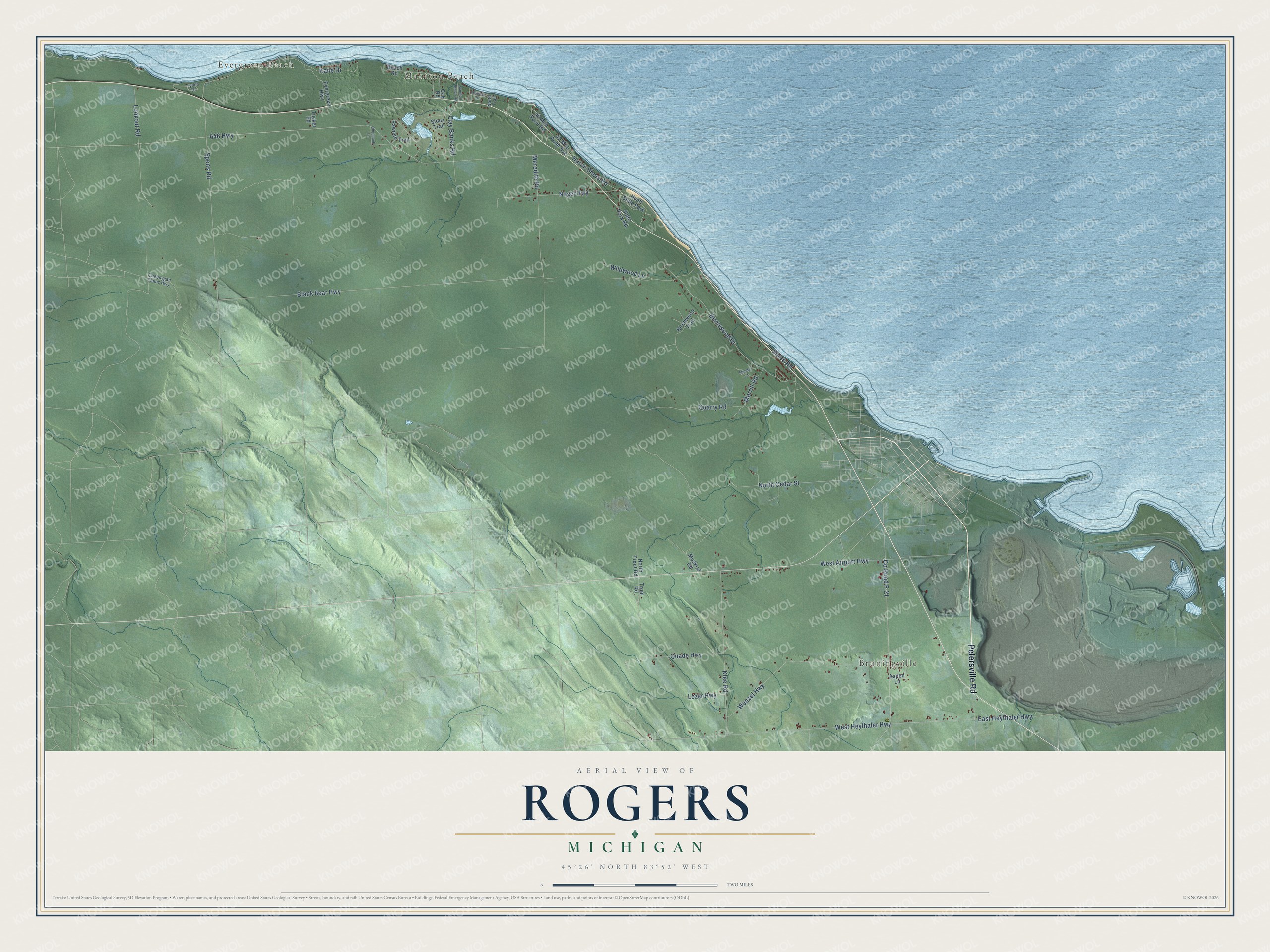
This beautifully detailed map of Rogers, Michigan was created in 2026 using aerial imagery combined with modern topographical, census, street and landmark data. It's a modern aerial view of Rogers in Presque Isle County, Michigan, that combines modern data with a vintage aesthetic. The roads feature printed names, and if you look closely you can find your exact house accurately shown in its correct location.
Explore an aerial view of Rogers, Michigan
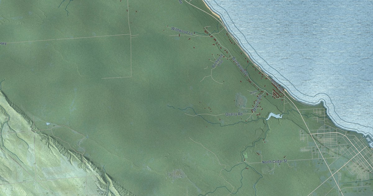
On this map you'll find Evergreen Beach, Manitou Beach, Bruningville, Petersville Road, Huron Shore Road, East Heythaler Highway, Black Bear Highway, West Heythaler Highway, 646 Highway, Spens Road, Birchwood Drive, Wenzel Highway, and more. Each red shape is a building, so zoom in on the preview and look for yours.
Here is a piece of Rogers history, in the words of the record. The record at arcgis.com puts it this way: "In 1890 the board recommended that a light and fog signal be built at Forty Mile Point."
The Census Bureau counted 964 people here in 2020.
Take a closer look at the Rogers map
Names on this map
These names are printed on this map.
Places: Evergreen Beach, Manitou Beach, Bruningville and Hoeft State Park.
Streets and roads: Petersville Road, Huron Shore Road, East Heythaler Highway, Black Bear Highway, West Heythaler Highway, 646 Highway, Spens Road, Birchwood Drive, Wenzel Highway, County Road F-21, Klee Road, Nagel Highway.
More street names, A to Z
40 Mile Point Avenue, 40 Mile Point Road, Aspen Lane, Beach Road, Birchwood Trail, Cheboygan Plains Highway, Chipmunk Lane, Clay Banks Road, Evergreen Highway, Heather Drive, Kane Drive, Lezer Highway, Lookout Road, Lynch Drive, Mandy Lane, Manitou Beach Road, Meredith Road, Morrill Road, Muskrat Road, North Cedar Street, North Trail, North Trout Road, Oak Road, Pawnee Trail, Quade Highway, Quarry Road, Shore Road, Sioux Trail, State Park Road, Trout Road, Tucker Road, West Airport Highway, Wildwood Lane.
Created by KNOWOL in 2026. The buildings are small red shapes, the roads carry their printed names, and shaded relief shows the shape of the land. The title panel reads "AERIAL VIEW OF ROGERS, MICHIGAN" with 45°26' NORTH 83°52' WEST.
It suits a den, a classroom or a front hall, and it makes a gift for anyone with Rogers roots. Open the preview and find the block you know. See sizes and frames for the Rogers map.