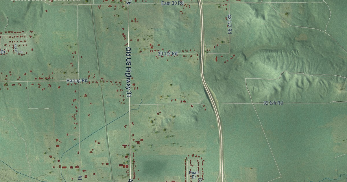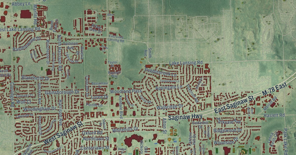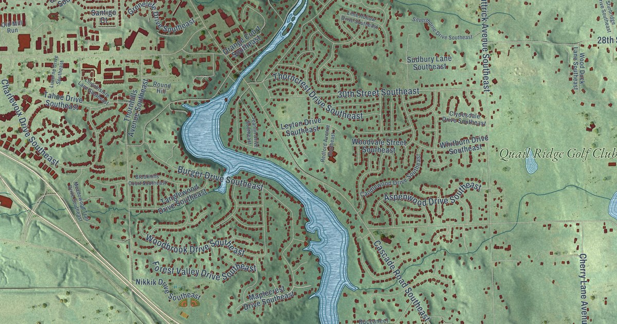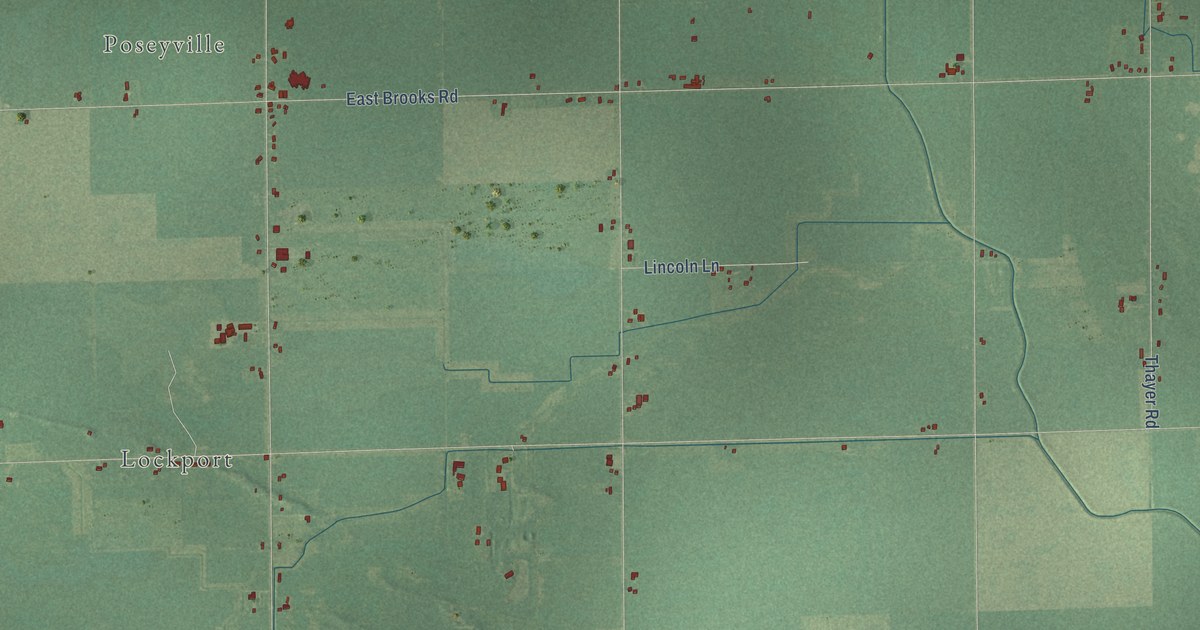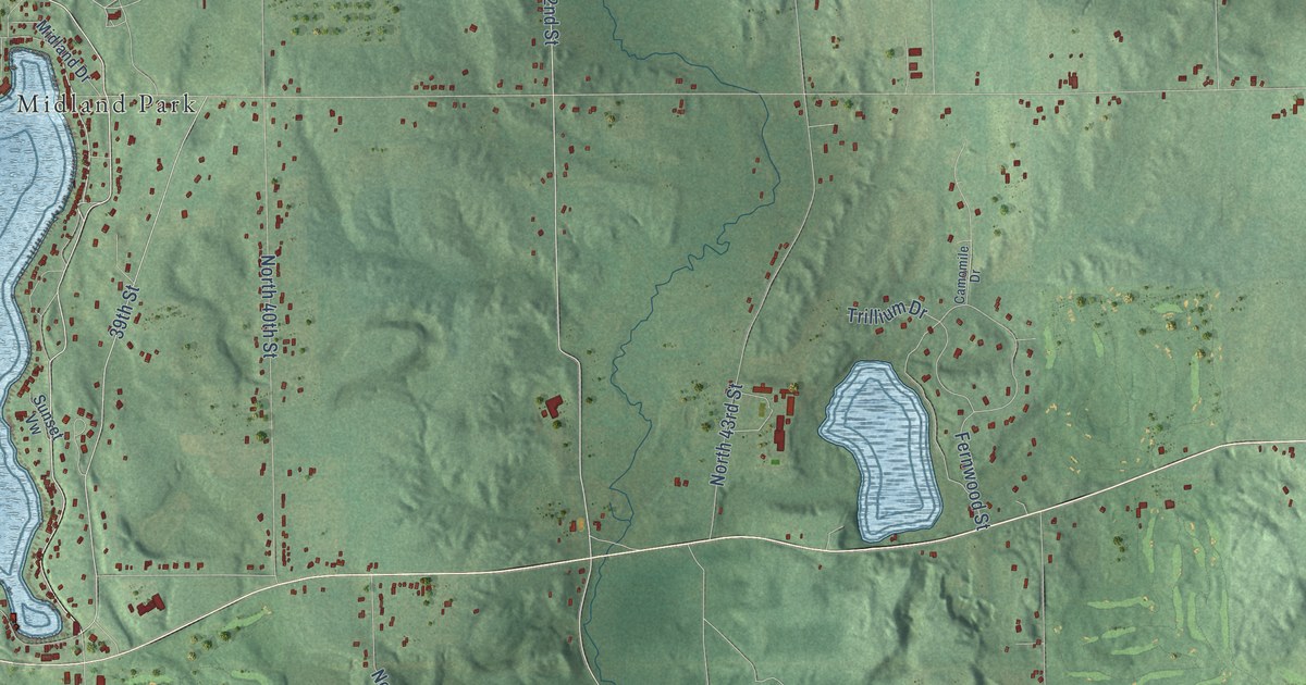
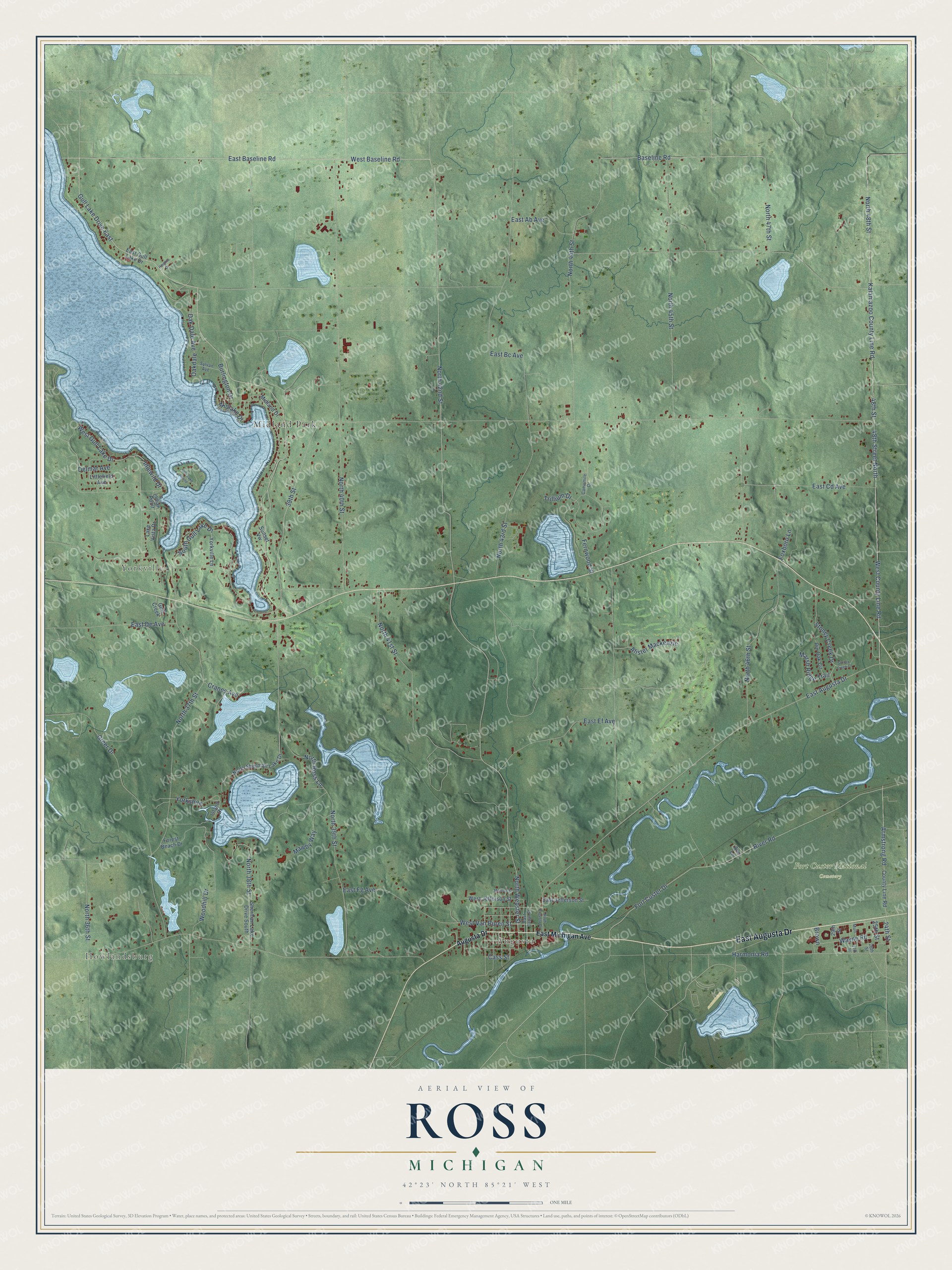
This beautifully detailed map of Ross, Michigan was created in 2026 using aerial imagery combined with modern topographical, census, street and landmark data. It's a modern aerial view of Ross in Kalamazoo County, Michigan, that combines modern data with a vintage aesthetic. The roads feature printed names, and if you look closely you can find your exact house accurately shown in its correct location.
Explore an aerial view of Ross, Michigan
On this map you'll find Howlandsburg, Augusta, Yorkville, Fort Custer National Cemetery, Midland Park, East Augusta Drive, North 42nd Street, West Baseline Road, North 36th Street, North Webster Street, Burlington Drive, North 38th Street, and more. Each red shape is a building, so zoom in on the preview and look for yours.
Every town has a first chapter, and Ross is no exception. The History of Kalamazoo County puts it this way: "As Yorkville was the earliest settled portion of Ross, it was natural that within its precincts should be manifested an early interest in education."
The Census Bureau counted 4,851 people here in 2020.
Take a closer look at the Ross map
Names on this map
These names are printed on this map.
Places: Howlandsburg, Augusta, Yorkville, Fort Custer National Cemetery and Midland Park.
Streets and roads: East Augusta Drive, North 42nd Street, Gull Lake Drive East, West Baseline Road, North 36th Street, North Webster Street, Burlington Drive, North 38th Street, 39th Street, West Van Buren Street, North 37th Street, 24th Street.
More street names, A to Z
25th Street, 26th Street, 27th Street, 29th Street, 48th Street, 48th Street North, Alister Mackenzie, Ann Lane, Armstrong Road, Augusta Drive, Baseline Road, Brown, Camomile Drive, Cass Street, County Line Road, Cranes Avenue, Delmar Avenue, East Ab Avenue, East Baseline Road, East Bc Avenue, East Canal Street, East Cd Avenue, East De Avenue, East Ef Avenue, East Fg Avenue, East Gull Lake Drive, East Jefferson Street, East Michigan Avenue, Fernwood Street, Forest Beach Drive, Fort Custer Drive, Foxboro Lane, Greer Drive, Gull Creek, Gull Lake Island, Harmonia Road, Heights Drive, Idlewild Drive, Indian Point, Island Drive, Kalamazoo County Line Road, Lake Vista Drive, Littlefield Avenue, Marsh Ridge Trail, Mawby Way, Midlake Drive, Midland Drive, Monroe Street, Muir, North 39th Street, North 40th Street, North 41st Street, North 43rd Street, North 44th Street, North 45th Street, North 46th Street, North 47th Street, North 48th Street, North Augusta Drive, North Ross Lane, North Sherman Lake Drive, Oakdale, Oak Dale Avenue, Pin Oak Circle, River Road, Sherman Lake Drive South, South Gull Lake Drive, Stoney Creek Court, Stoney Creek Drive, Sunset Vw, Sylvan Avenue, Trillium Drive, Wayne Road, West County Line Road, West Gull Lake Drive, West Jefferson Street, Woodhill Drive, Yorkshire, Yorkville Lane.
Created by KNOWOL in 2026. The buildings are small red shapes, the roads carry their printed names, and shaded relief shows the shape of the land. The title panel reads "AERIAL VIEW OF ROSS, MICHIGAN" with 42°23' NORTH 85°21' WEST.
Hang it in the hallway, the office or the cabin, or give it to someone who left Ross and still calls it home. Open the preview and look for a street you know. See sizes and frames for the Ross map.