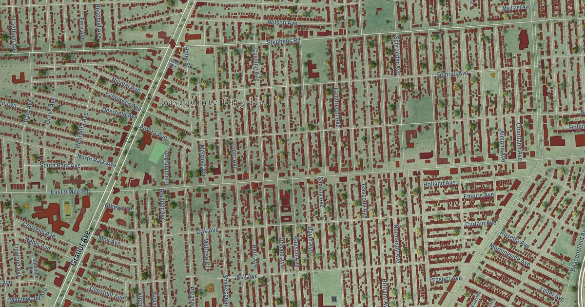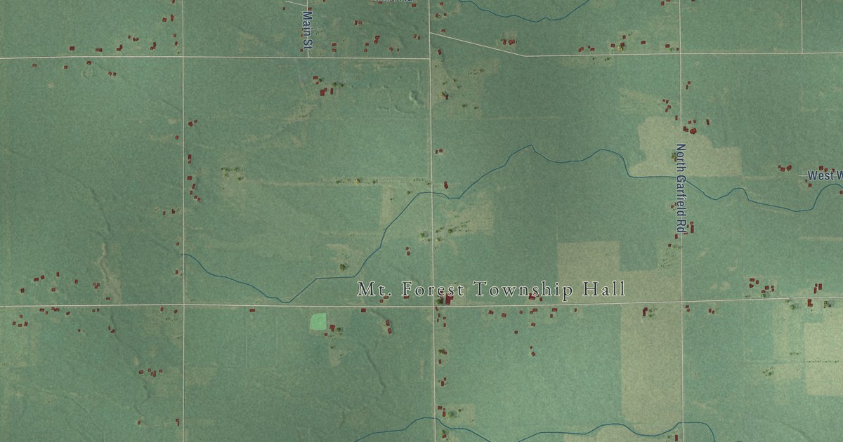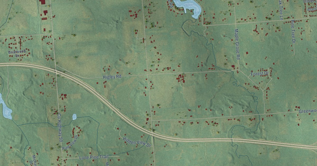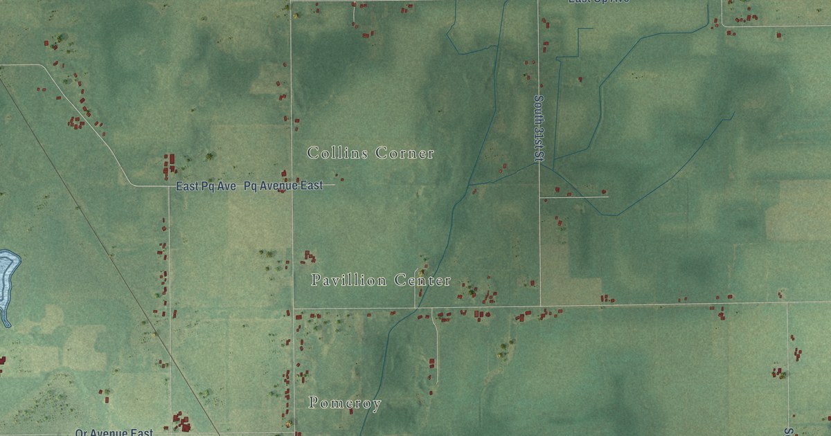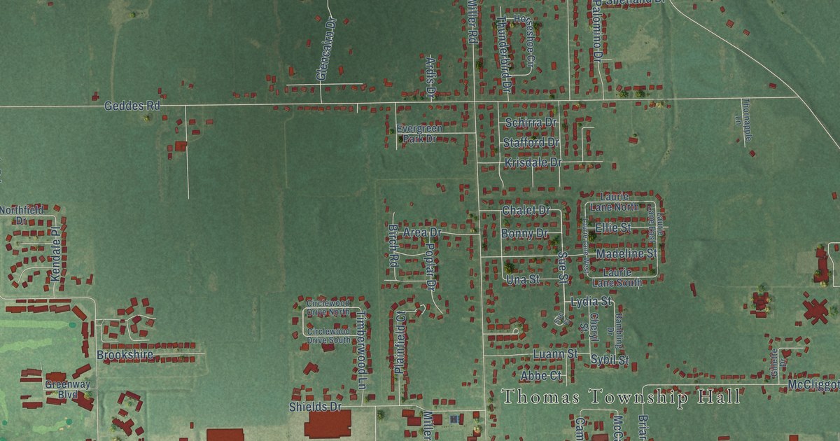
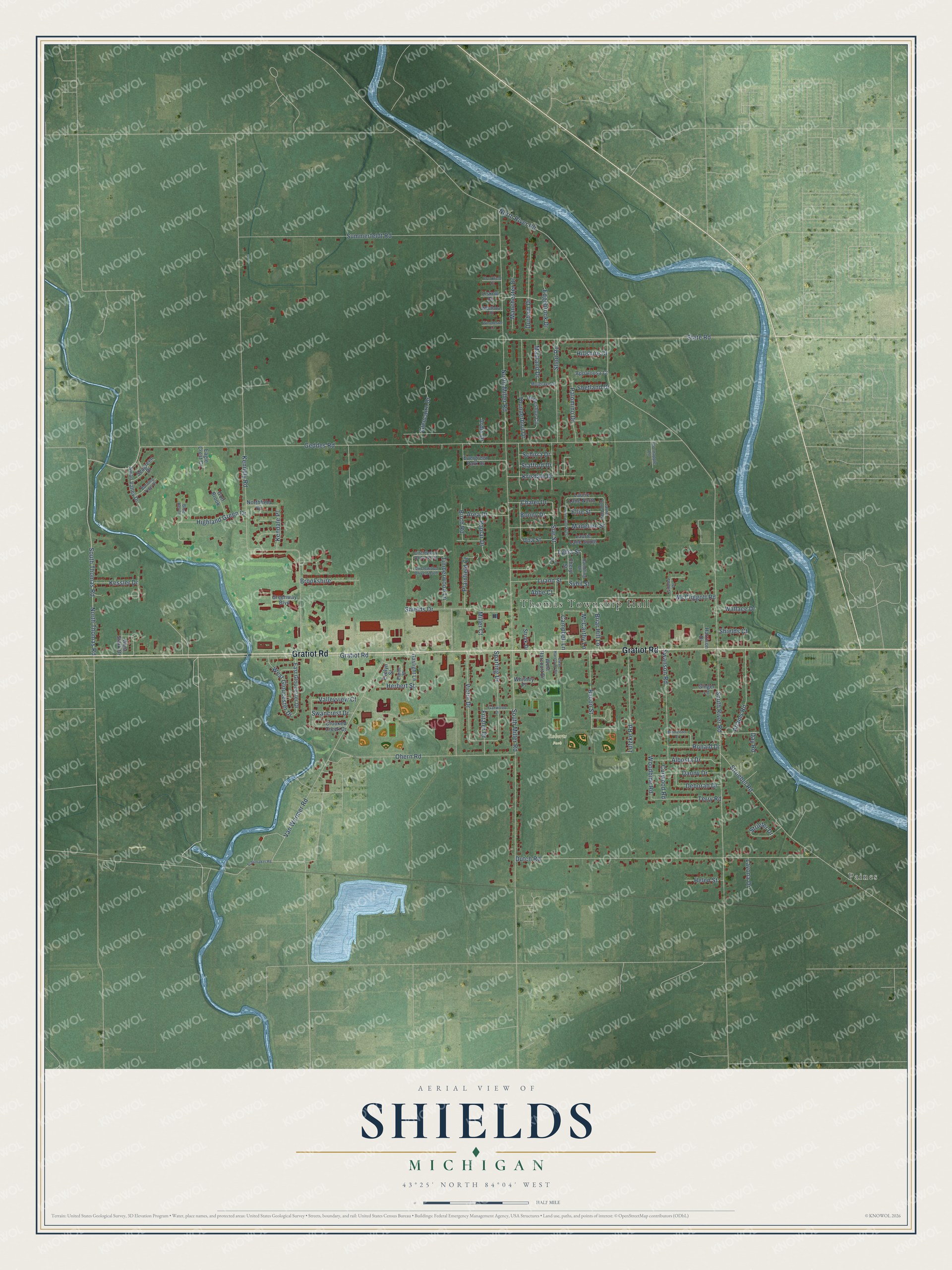
This beautifully detailed map of Shields, Michigan was created in 2026 using aerial imagery combined with modern topographical, census, street and landmark data. It's a modern aerial view of Shields in Saginaw County, Michigan, that combines modern data with a vintage aesthetic. The roads feature printed names, and if you look closely you can find your exact house accurately shown in its correct location.
Explore an aerial view of Shields, Michigan
On this map you'll find Thomas Township Hall, Roberts Park, Paines, Gratiot Road, Sue Street, Lydia Street, Geddes Road, North River Road, Kennely Road, North Miller Road, Dutch Road, State Road, and more. Each red shape is a building, so zoom in on the preview and look for yours.
Every town has a first chapter, and Shields is no exception. Shields was settled about 1894 as a stop on the Pere Marquette branch line between Saginaw and Alma. The railroad town sat about three miles west of Paines, in Saginaw County. That's from the record at MichiganRailroads.com.
Shields is a community in Saginaw County. The Census Bureau counted 7,035 people here in 2020.
Take a closer look at the Shields map
Names on this map
These names are printed on this map.
Places: Thomas Township Hall, Roberts Park and Paines.
Streets and roads: Gratiot Road, Sue Street, Lydia Street, Geddes Road, North River Road, Kennely Road, North Miller Road, Dutch Road, State Road, Van Wormer Road, North Thomas Road, Summerfeldt Road.
More street names, A to Z
Abbe Court, Adams Road, Albosta Drive, Appaloosa Court, Ardis Drive, Area Drive, Bacon Street, Birch Road, Blue Heron, Bonny Drive, Briar Hill Lane, Brookfield Court, Brookshire, Burmeister Drive, Burning Tree Drive, Campbell Lane, Chalet Drive, Cheryl Street, Circlewood Drive North, Circlewood Drive South, Crooked Creek Drive, Curwood Road, Danny Drive, Day Road, Deborah Drive, Durham Drive, Eagle Crest Court, East Gloucester Drive, East Harcourt Drive, Edgebrook Drive, Elaine Street, Ellie Street, Evelyn Street, Evergreen Park Drive, Fritzler Drive, Garwood Drive, Gaslight Lane, Gillette Drive, Ginger Lane, Glencairn Drive, Golf Brook, Greenway Boulevard, Harrison Drive, Helen Street, Herbert Street, Highland Green Drive, Hillshire Court, Horseshoe Circle, Kendale Place, Kessler Drive, Krisdale Drive, Laurie Lane East, Laurie Lane North, Laurie Lane South, Laurie Lane West, Lavona Drive, Liskow Court, Luann Street, Lutzke Road, Madeline Street, Maitland Drive, Manchester Drive, McCarthy Lane, McCliggott Road, Miller Court, Mulgrave Drive, Northfield Drive, Ohern Road, Palomino Drive, Plainfield Court, Poplar Drive, Rambling Drive, Ronald Drive, Schirra Drive, Schomaker Road, Seagreen Drive, Shetland Drive, Shields Court, Shields Drive, Short Road, South Miller Road, South River Road, South Thomas Road, Sparling Drive, Stafford Drive, Strieter Drive, Stroebel Road, Stroik Drive, Sue Court, Swancrest Drive, Swanson Road, Swan Valley Drive, Sybil Street, Terry Road, Thornapple Lane, Thunderbird Drive, Timberwood Lane, Una Street, Valleyview Court, Victor Drive, Wallace Drive, West Gloucester Drive, West Harcourt Drive, Westlawn Court, West Stark Drive, Whitney Place, Winchester Court, Woodbine Road.
See it on a wall
The Shields map as a framed print. Swipe for more.


Created by KNOWOL in 2026. The buildings are small red shapes, the roads carry their printed names, and shaded relief shows the shape of the land. The title panel reads "AERIAL VIEW OF SHIELDS, MICHIGAN" with 43°25' NORTH 84°04' WEST.
Hang it in the hallway, the office or the cabin, or give it to someone who left Shields and still calls it home. Open the preview and look for a street you know. See sizes and frames for the Shields map.