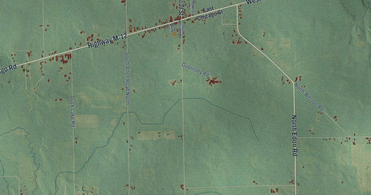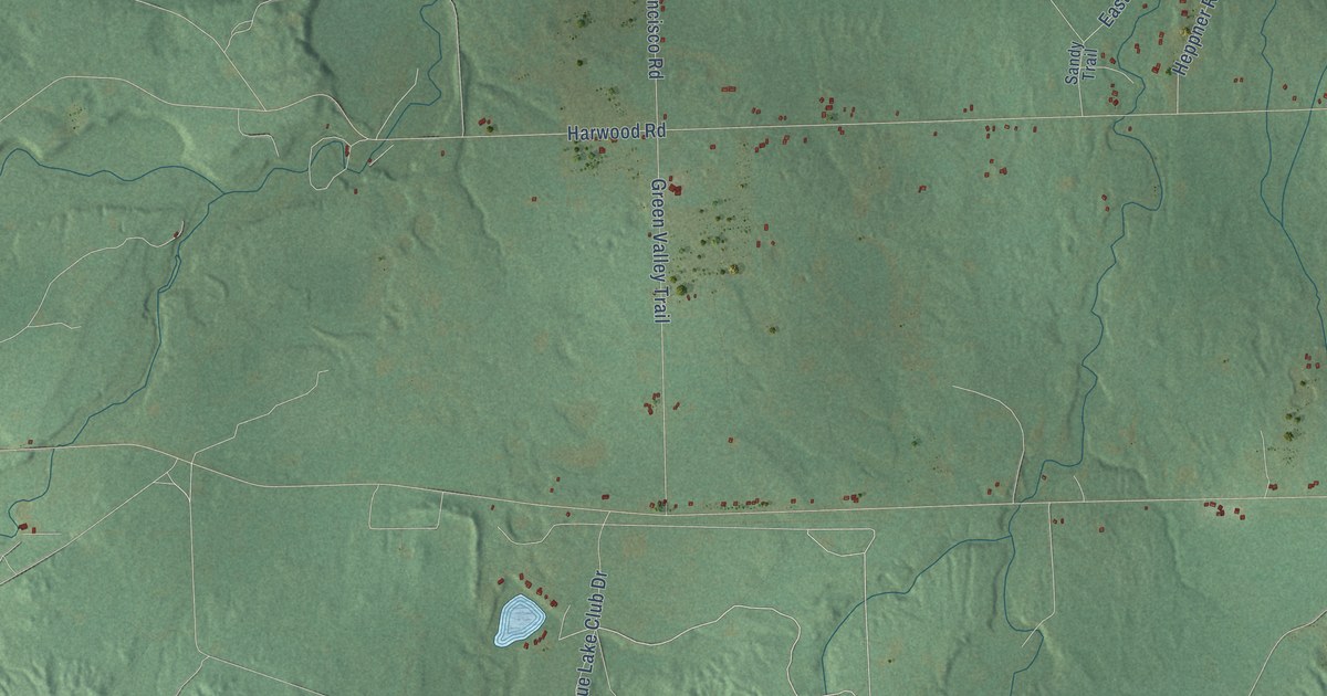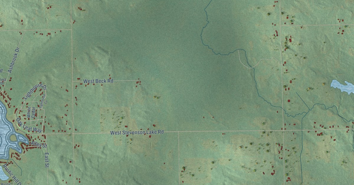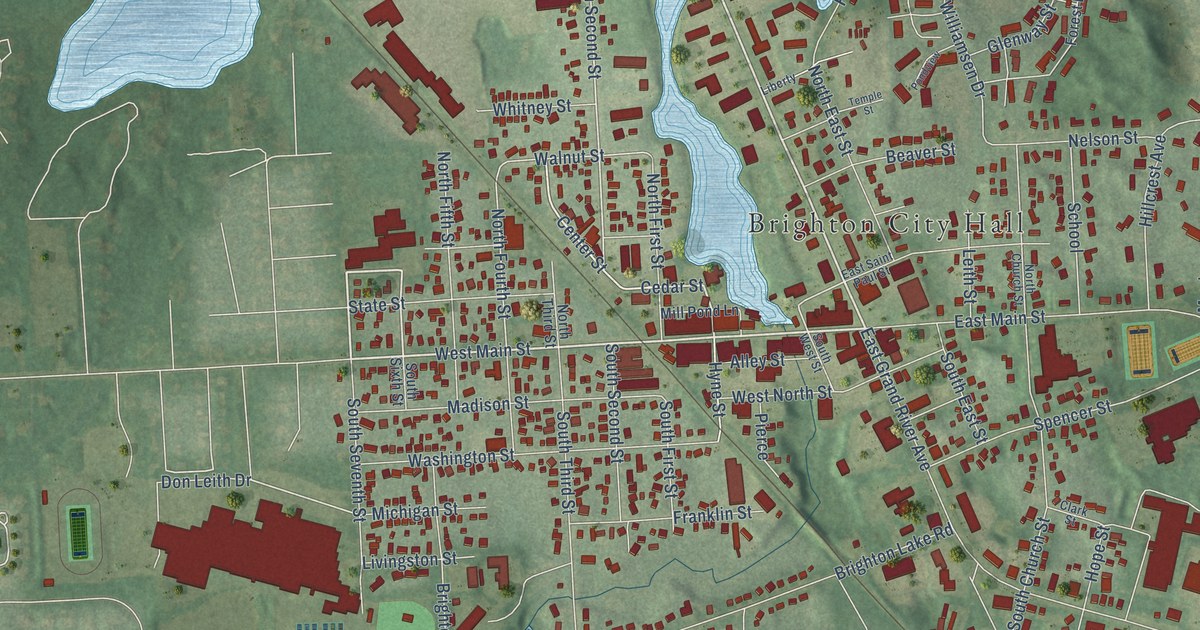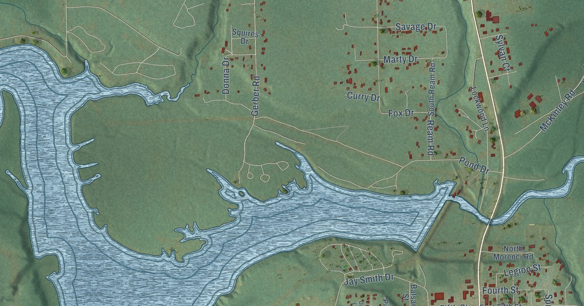
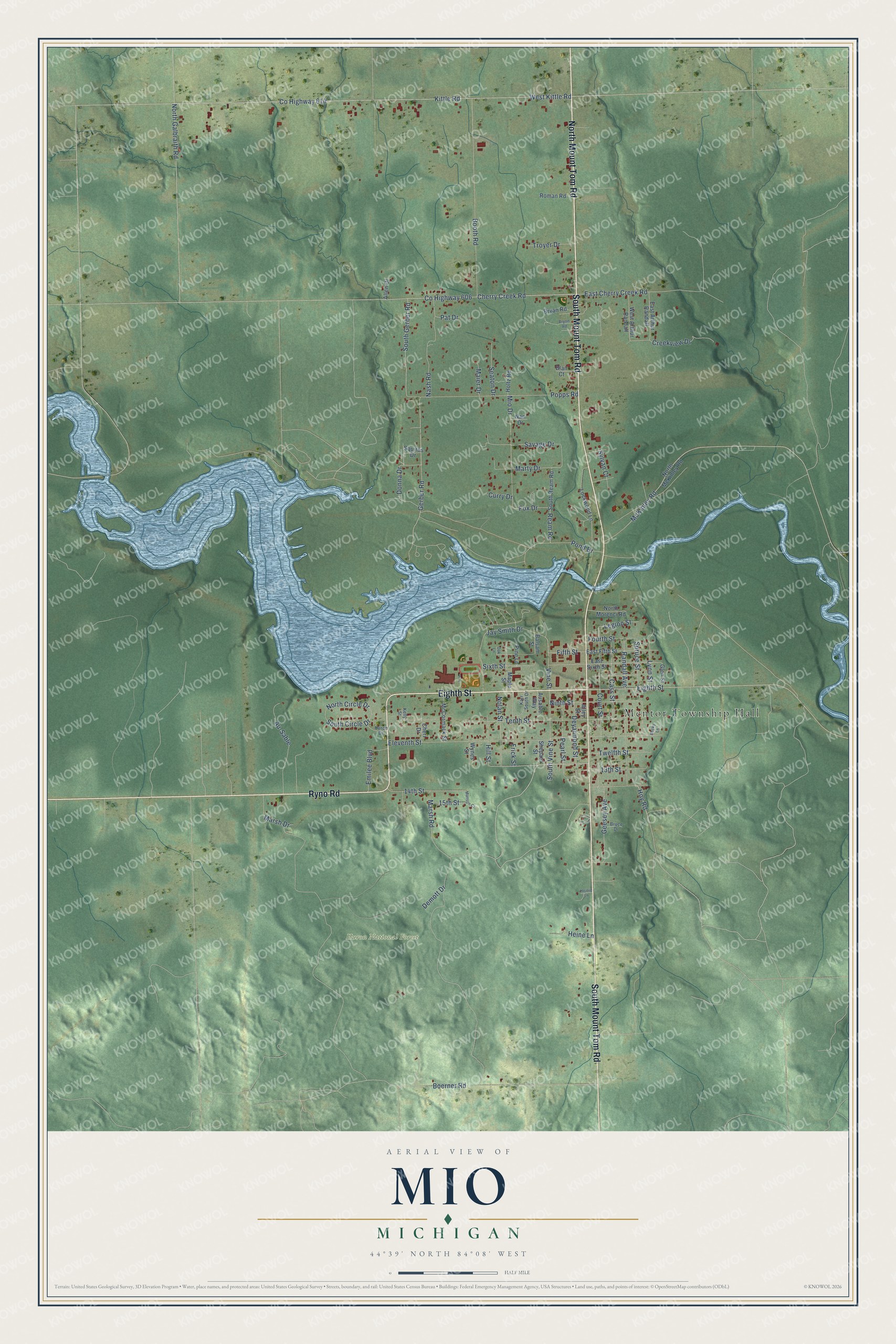
This beautifully detailed map of Mio, Michigan was created in 2026 using aerial imagery combined with modern topographical, census, street and landmark data. It's a modern aerial view of Mio in Oscoda County, Michigan, that combines modern data with a vintage aesthetic. The roads feature printed names, and if you look closely you can find your exact house accurately shown in its correct location.
Explore an aerial view of Mio, Michigan
On this map you'll find Mentor Township Hall, Huron National Forest, South Mount Tom Road, North Mount Tom Road, Ryno Road, Eighth Street, Twelfth Street, Cherry Creek Road, Donna Drive, Fifth Street, Legion Street, Co Highway 614, and more. Each red shape is a building, so zoom in on the preview and look for yours.
Here is a piece of Mio history. How Mio got its name isn't well documented, but in 1881 the local newspaper spelled it Mioe, the family's name for early settler Marla Deyarmond. A visit to her house was called going to Aunt Mioe's, and with little else there at the time, Aunt Mioe's came to mean the whole settlement. After a couple of tries, Mio was chosen as the permanent county seat for its central location, and the first courthouse was built in 1888. Fire damaged that building beyond repair in 2016, and a new county building was finished in 2020. That's from the Oscoda County government.
Mio is a community in Oscoda County. The Census Bureau counted 1,690 people here in 2020.
Take a closer look at the Mio map
Names on this map
These names are printed on this map.
Places: Mentor Township Hall and Huron National Forest.
Streets and roads: South Mount Tom Road, North Mount Tom Road, Ryno Road, Eighth Street, Twelfth Street, Cherry Creek Road, Donna Drive, Fifth Street, Legion Street, County Highway 614, Ream Road, Kittle Road.
More street names, A to Z
13th Street, 14th Street, 15th Street, Allen Drive, Alley Street, Au-Sable, Ausable Way, Balsam Street, Becky Lane, Blair Court, Boerner Road, Booth Road, Bruce Drive, Bryan Road, Bryon Road, Cass Street, Cheri Drive, County Highway 606, Court Street, Creekview Drive, Curry Drive, Demott Drive, Deyarmond Street, East Arthur Randall, East Cherry Creek Road, East Fifth Street, East Sixth Street, Eleventh Street, Emilee Boulevard, Fourth Street, Fox Drive, Frick Street, Geesey Avenue, Gerber Road, Glen Street, Heine Lane, Heinie Lane, Hill Street, Holtz Road, Hoy Road, Huron Drive, Jay Smith Drive, Karr South Drive, Kelly Street, Lockwood Lane, Lynn Street, Maier Drive, Manson Court, Maple Street, Marsh Drive, Marsh Road, Marty Drive, McCormack Street, McKinley Road, Mio Drive, Nan Drive, Nash Road, Ninth Street, Nolan Street, North Circle Drive, North Galbraith Road, North McKinley Road, North Morenci Road, Oak Lane, Pat Drive, Pearl Street, Pine Lane, Pond Drive, Popps Road, Randall Avenue, Roman Road, Savage Drive, Seaton Drive, Shepard Street, Sixth Street, South Circle Drive, South Gerber Road, South Ream Road, South Vine Street, Spruce Street, Squires Drive, Sylvan Court, Tenth Street, Troyer Drive, Vine Street, West Arthur Randall, West Kittle Road, Wynes Street.
See it on a wall
The Mio map as a framed print. Swipe for more.


Created by KNOWOL in 2026. The buildings are small red shapes, the roads carry their printed names, and shaded relief shows the shape of the land. The title panel reads "AERIAL VIEW OF MIO, MICHIGAN" with 44°39' NORTH 84°08' WEST.
It suits a den, a classroom or a front hall, and it makes a gift for anyone with Mio roots. Open the preview and find the block you know. See sizes and frames for the Mio map.