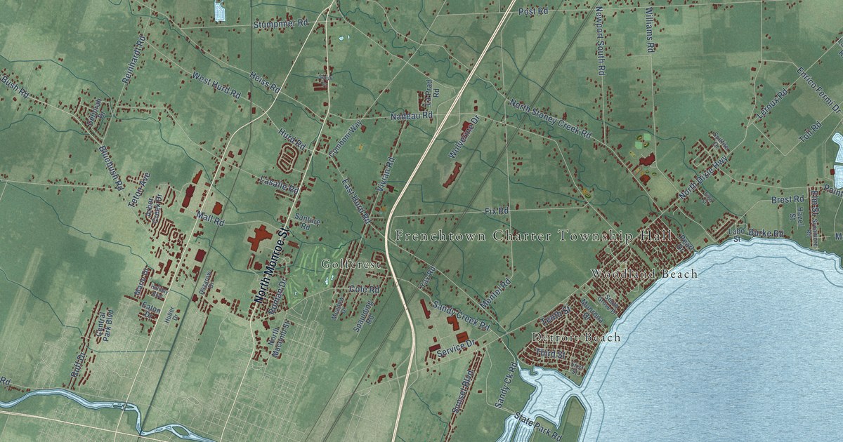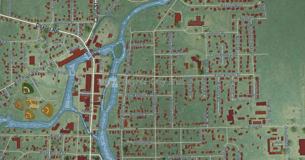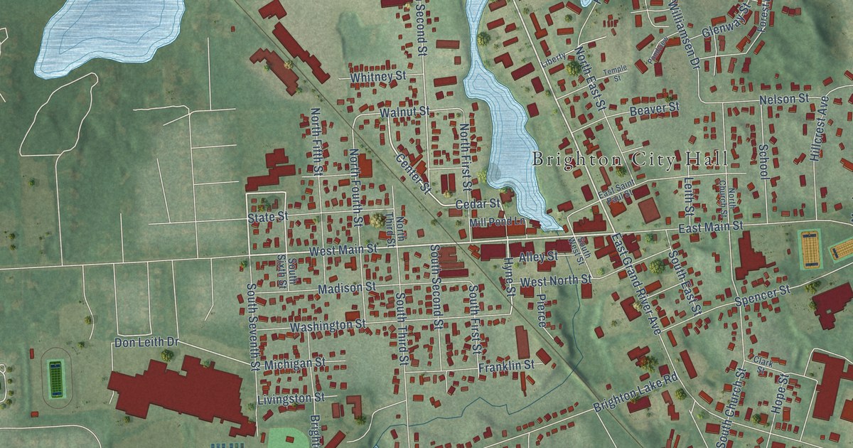
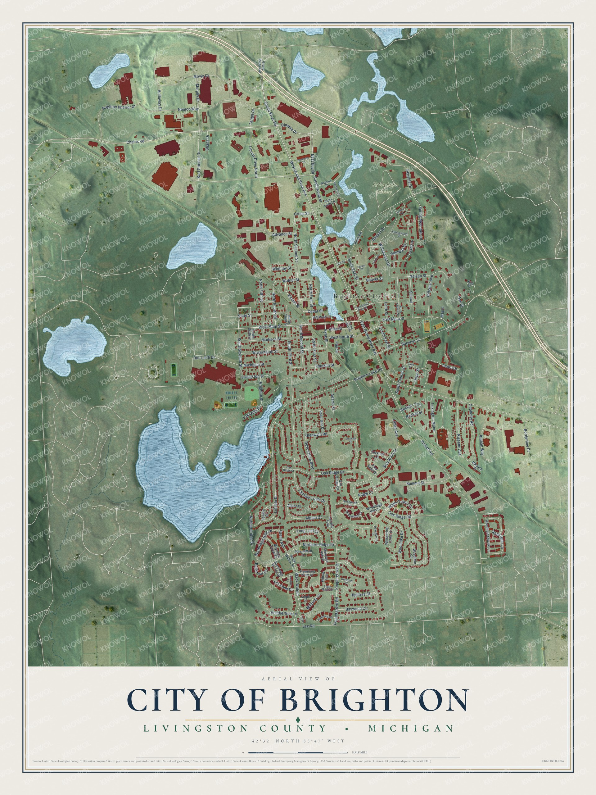
This beautifully detailed map of Brighton, Michigan was created in 2026 using aerial imagery combined with modern topographical, census, street and landmark data. It's a modern aerial view of Brighton in Livingston County, Michigan, that combines modern data with a vintage aesthetic. The roads feature printed names, and if you look closely you can find your exact house accurately shown in its correct location.
Explore an aerial view of Brighton, Michigan
On this map you'll find Brighton City Hall, Fairview Cemetery, West Grand River Avenue, West Main Street, Best Buy Drive, Grand River Road, Challis Road, Cedar Street, North Second Street, Oak Ridge Road, Hyne Street, Oak Ridge Drive, and more. Each red shape is a building, so zoom in on the preview and look for yours.
Brighton has a story worth telling. The History of Livingston County puts it this way: "Brighton became an incorporated village in 1867, with the limits before mentioned. The platted area is not compactly built, but it contains many good and substantial, and some elegant, residences."
Brighton is a city in Livingston County. The Census Bureau counted 7,446 people here in 2020.
Take a closer look at the Brighton map
Names on this map
These names are printed on this map.
Places: Brighton City Hall and Fairview Cemetery.
Streets and roads: West Grand River Avenue, West Main Street, Best Buy Drive, Grand River Road, Challis Road, Cedar Street, North Second Street, Oak Ridge Road, Hyne Street, Oak Ridge Drive, Don Leith Drive, Lee Road.
More street names, A to Z
Acorn Drive, Adams Street, Advance Street, Alley Street, Alpine Court, Alpine Drive, Appian Way, Baywood Circle, Beaver Street, Becker, Becker Street, Becket Drive, Black Walnut, Black Walnut Street, Borderline Drive, Brighton Interior Drive, Brighton Lake Road, Brighton Street, Brookside Lane, Butternut Circle, Candlewood Street, Carney Drive, Center Street, Cinama Drive, Clark Street, Cross Street, Darnel Drive, Deeside Drive, Devonshire Boulevard, Durwood Court, East Grand River Avenue, East Main Street, East Saint Paul Street, Elm Court, Fairway Trail, Fairway Trails Drive, Flint Road, Flowering Plum Drive, Forest Drive, Franklin Street, Glenway Street, Glenwyth Circle, Glenwyth Road, Grand River Avenue, Green Ash, Heatheridge Court, Heathertree Lane, Hightree Court, Hillcrest Avenue, Holloway Drive, Hope Street, Karl Griemel Drive, Kissane Avenue, Lakeside Drive, Leith Street, Lexington Manor, Liberty, Library Drive North, Lillian Avenue, Lily Pond Drive, Lincoln Drive, Livingston Street, Long Leaf Court, Madison Street, Maple, Maurice Drive, Meadowbrook Drive, Michigan Street, Mildredj Court, Mill Pond Lane, Mountain Ash Drive, Mountain Laurel Drive, Movie Drive, Murphy Drive, Nelson Street, Nemco Way, North Church Street, North East Street, Northernridge Drive, Northern Ridge Drive, North Fifth Street, North First Street, North Fourth Street, Northridge Hills Drive, Northridge Woods Drive, North Third Street, Oak Ridge Circle, Oak Ridge Court, Oak Street, Odoherty Road, Pasture Lane, Peachwood Court, Peppergrove Drive, Peppergrove Road, Persimmon Drive, Pierce, Pine Knoll Court, Pinewood Court, Pondview, Redmaple Lane, Rickett Road, Ridge Court, Robertson Drive, Rosewood Court, School, Seward Drive, Shana Drive, Sisu Knoll Drive, South Church Street, South East Street, South First Street, South Second Street, South Seventh Street, South Sixth Street, South Third Street, South West Street, Spencer Street, Spring Mountain Drive, State Street, Steph Lane, Stoneywood Drive, Sugar Maple Drive, Summit Street, Target Drive, Temple Street, Texknoll Drive, Vicki Lynn Lane, Victoria Square, Walnut Street, Washington Street, Water Tower Circle, Wayside Drive, West North Street, Whispering Oaks Drive, Whitney Street, Williamsen Drive, Willow Tree, Woodfield Square Lane, Woodlake Circle, Woodlake Drive, Woodridge Hills Drive.
Created by KNOWOL in 2026. The buildings are small red shapes, the roads carry their printed names, and shaded relief shows the shape of the land. The title panel reads "AERIAL VIEW OF CITY OF BRIGHTON, LIVINGSTON COUNTY • MICHIGAN" with 42°32' NORTH 83°47' WEST.
It looks right in a kitchen, an office or a den, and it's a gift for anyone who grew up in Brighton or moved away. Open the preview and find your street. See sizes and frames for the Brighton map.