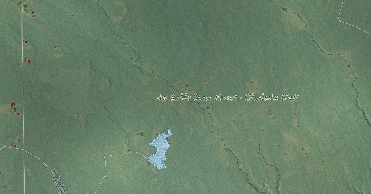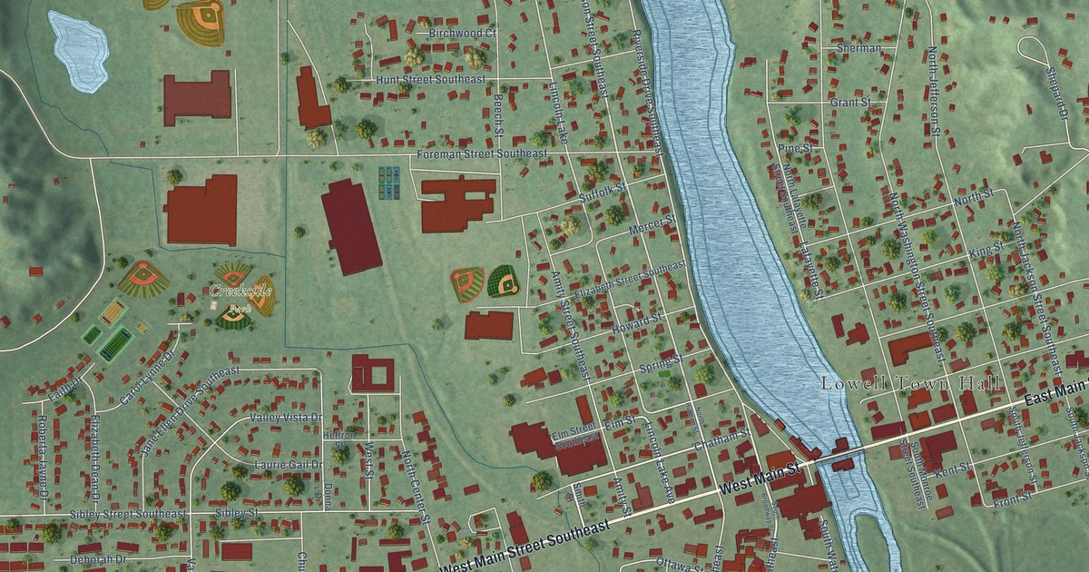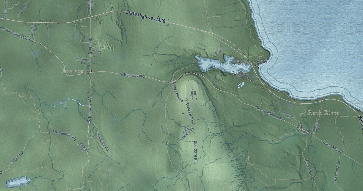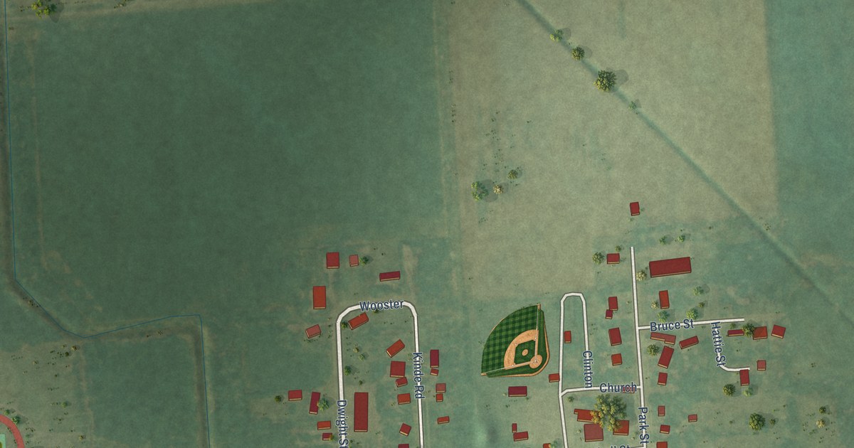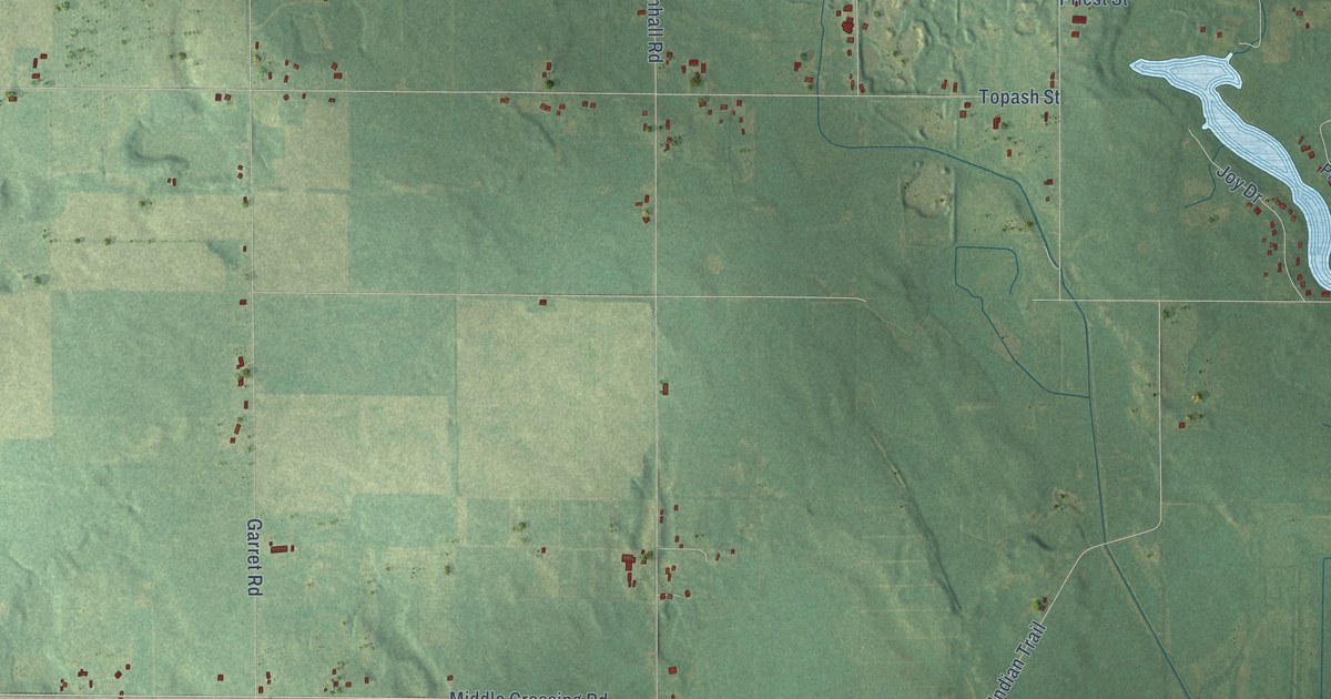
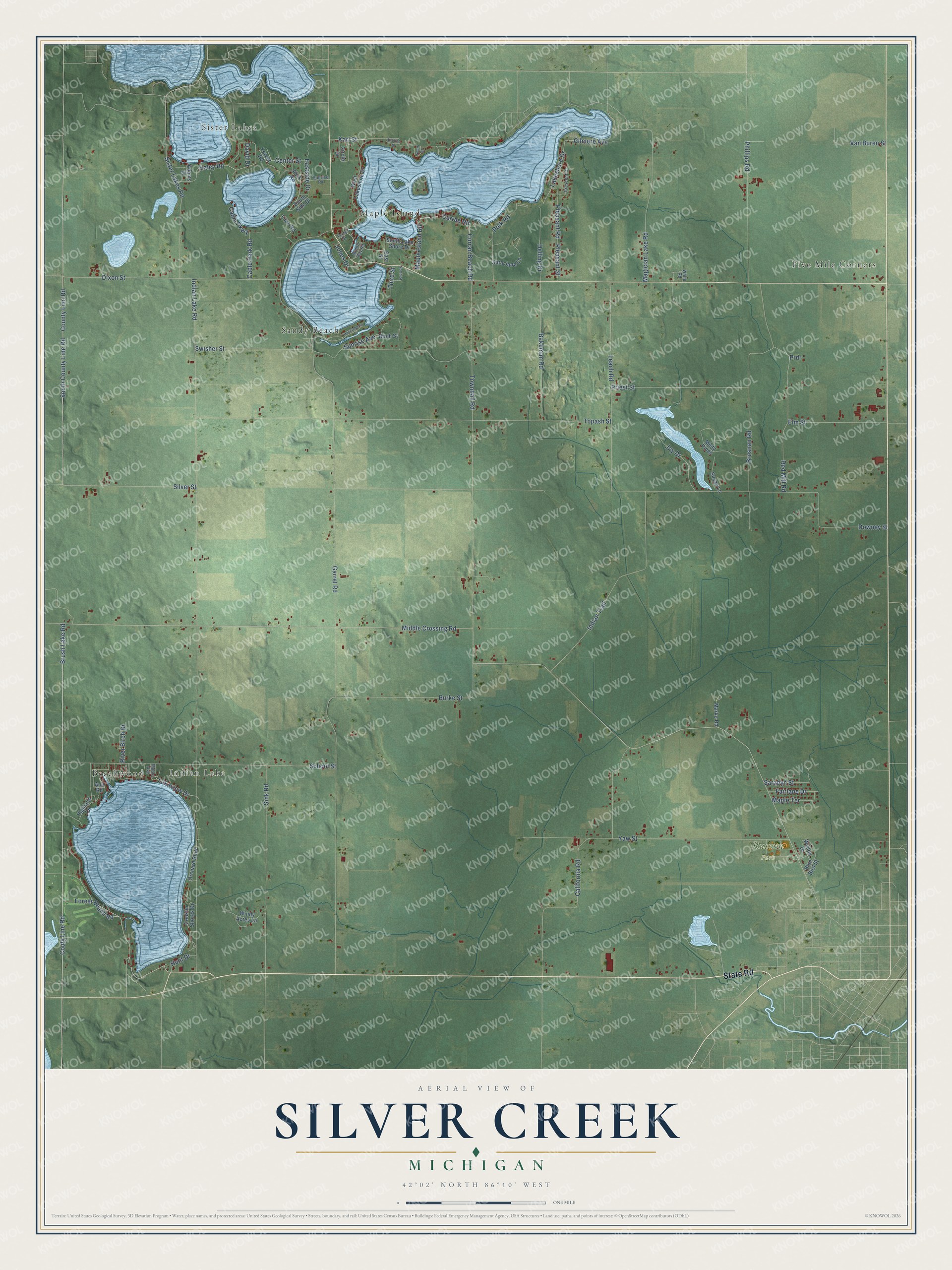
This beautifully detailed map of Silver Creek, Michigan was created in 2026 using aerial imagery combined with modern topographical, census, street and landmark data. It's a modern aerial view of Silver Creek in Cass County, Michigan, that combines modern data with a vintage aesthetic. The roads feature printed names, and if you look closely you can find your exact house accurately shown in its correct location.
Explore an aerial view of Silver Creek, Michigan
On this map you'll find Beechwood, Indian Lake, Russom Park, Five Mile Corners, Maple Island, Sandy Beach, Sister Lakes, State Road, South County Line Road, Forest Beach Road, Brush Lake Road, Couty Line Road, and more. Each red shape is a building, so zoom in on the preview and look for yours.
Here is a piece of Silver Creek history, in the words of the record. The History of Cass County puts it this way: "The first disciple of Esculapius who administered to the necessities of the people of Silver Creek was Dr. Jacob Allen, of Whitmanville, and the first resident physician was Dr. William Fowler."
The Census Bureau counted 3,051 people here in 2020.
Take a closer look at the Silver Creek map
Names on this map
These names are printed on this map.
Places: Beechwood, Indian Lake, Russom Park, Five Mile Corners, Maple Island, Sandy Beach and Sister Lakes.
Streets and roads: State Road, South County Line Road, Forest Beach Road, Brush Lake Road, Couty Line Road, Middle Crossing Road, Indian Lake Road, Van Buren Street, Gilmore Avenue, County Line Road, Lakeshore Drive, Third Street.
More street names, A to Z
Adams Drive, Ann Road, Bakeman Road, Birch Street, Blue Bird Street, Brosnan Road, Burke Street, Cable Park Road, Cable Parkway, California Road, Center Street, Circle Drive, Conklin Shores Drive, Crescent Drive, Curran Beach Road, Curran Road, David Drive, Delling Drive, Dixon Street, Downey Street, Eastside Drive, East Street, Elm Street, Fairlane Drive, Fitch Road, Forest Road, Garret Road, Haley Road, Highland Drive, Huckleberry Lane, Hunt Drive, Indian Trail, Jones Drive, Joy Drive, Karl Street, Krohne Street, Lakeview Drive, Leach Road, Magician Lake Road, Maple Avenue, Maple Island Road, Maple Terrace, Marke Road, Middle Bay Road, Misty Pines, North Street, Orchard Bluff, Park Road, Phillips Road, Pleasant Road, Pleasant Street, Polk Road, Prdr, Priest Street, Red Mill Road, River Birch Drive, Sarabyn Street, Sara Jane Lane, School Street, Silver Street, Sink Road, Sister Lakes Road, South Lake Shore Drive, South Side Drive, South Street, Sunrise Avenue, Sunrise Road, Susan Lane, Swisher Street, Terry Drive, Topash Street, Townhall Road, West Lakeshore Drive, White Road, Wilson Drive, Windy Acres Lane, Yaw Street.
Created by KNOWOL in 2026. The buildings are small red shapes, the roads carry their printed names, and shaded relief shows the shape of the land. The title panel reads "AERIAL VIEW OF SILVER CREEK, MICHIGAN" with 42°02' NORTH 86°10' WEST.
It suits a den, a classroom or a front hall, and it makes a gift for anyone with Silver Creek roots. Open the preview and find the block you know. See sizes and frames for the Silver Creek map.