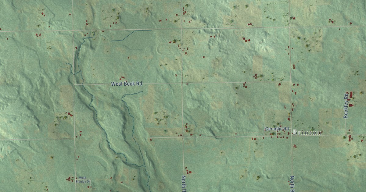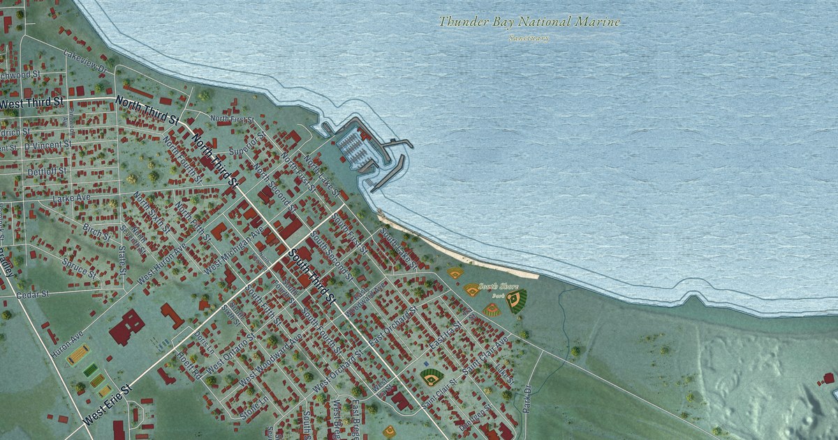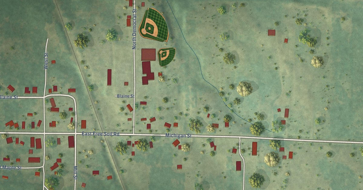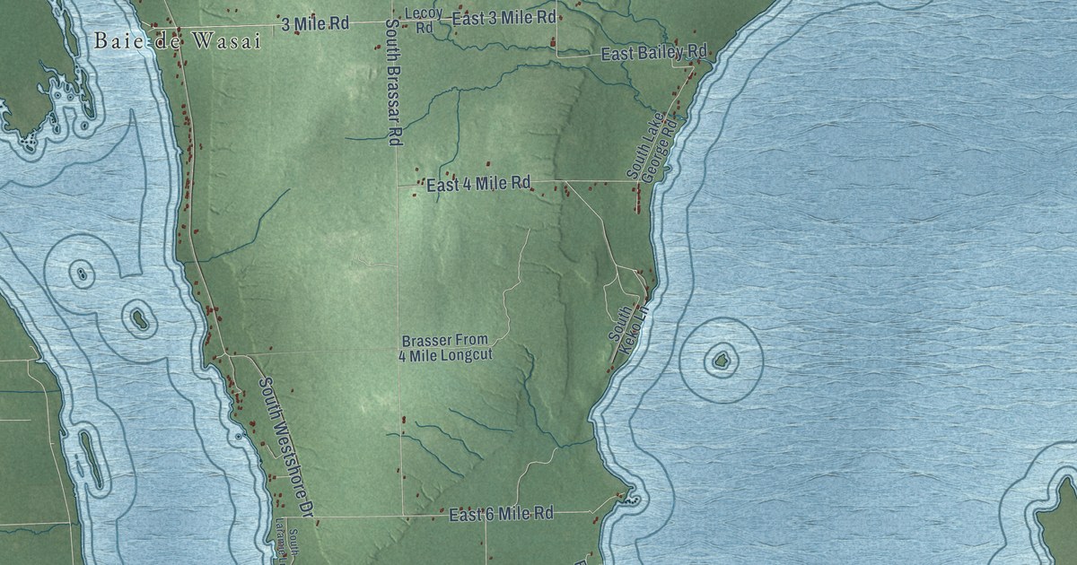
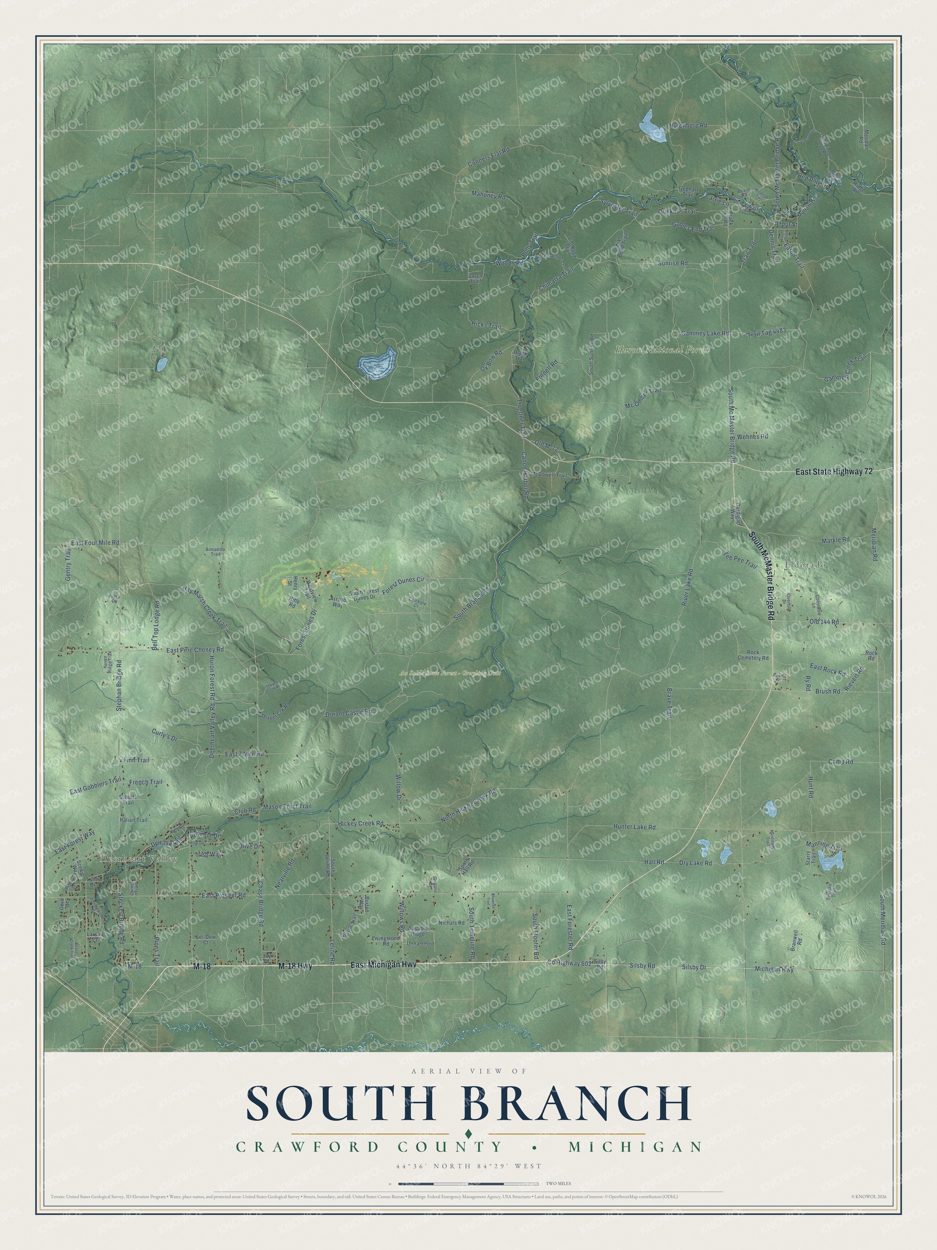
This beautifully detailed map of South Branch, Michigan was created in 2026 using aerial imagery combined with modern topographical, census, street and landmark data. It's a modern aerial view of South Branch in Crawford County, Michigan, that combines modern data with a vintage aesthetic. The roads feature printed names, and if you look closely you can find your exact house accurately shown in its correct location.
Explore an aerial view of South Branch, Michigan
On this map you'll find Deerheart Valley, Eldorado, Au Sable State Forest – Grayling Unit, Huron National Forest, M-18 Highway, East Michigan Highway, M-18, South McMaster Bridge Road, East State Highway 72, Co Highway 602, Silsby Drive, Michigan Highway, and more. Each red shape is a building, so zoom in on the preview and look for yours.
The Census Bureau counted 1,638 people here in 2020. The map prints the town name in its title panel, with the coordinates below it.
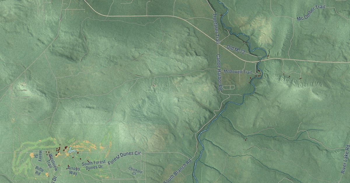
Take a closer look at the South Branch map
Names on this map
These names are printed on this map.
Places: Deerheart Valley, Eldorado, Au Sable State Forest - Grayling Unit and Huron National Forest.
Streets and roads: M-18 Highway, East Michigan Highway, M-18, South McMaster Bridge Road, East State Highway 72, County Highway 602, Silsby Drive, Michigan Highway, Leline Road, Hay Marsh Creek Trail, Canoe Harbor Road, Meridian Road.
More street names, A to Z
Armadillo Trail, Arroyo Way, Ausable Ridge, Beard Road, Beaver Creek Trail, Bell Top Lodge Road, Black Antler Court, Black Trail, Brack Hill Road, Branwell Road, Brave Trail, Brush Road, Burton Way, Camp Road, Cardigan Way, Carrie Lane, Catabish Trail, Chase Bridge Road, Chickory Court, Chimarra Trail, Cingano Drive, Club Road, Conners Flat Road, Constable Lane, Contour Drive, Cooksey Trail, Cornell Trail, Cove Court, Curly's Drive, Deerheart Valley Road, Dennis Trail, Dewitt Trail, Drinkaus Trail, Dry Lake Road, Duprey Drive, Durant Castle Road, East 7 Mile Road, East Forester Road, East Forest Way, East Four Mile Road, East Gobblers Trail, East Pere Cheney Road, East Pioneer Road, East Rock Road, Eaton Trail, Eel-Dew Court, Evans Trail, Finn Trail, Forest Dunes Circle, Forest Dunes Drive, Fornell Road, French Trail, Gables End Trail, Gammey Creek Trail, Gammey Lake Road, Gentry Trail, Gephart Trail, Gratiot Trail, Hall Road, Haven Ridge Trail, Henry Street, Hickey Creek Road, Hicks Trail, High Road, Hillis Drive, Hunter Lake Road, Huntington Trail, Hunt Road, Huron Forest Road, Indian Bend Trail, Irish Way, Italian Trail, Jasco Trail, Joy Drive, Larson Court, Livingstone Road, Lynn Drive, Mac's Island Road, Mahoney Road, Manning Trail, Markle Road, Mason Tract Trail, McDowell Trail, Mc Omber Trail, Meridan Road, Moffatt Trail, Nearville Road, Nichals Road, North Hickey Creek Road, Nurenberg Road, Old 144 Road, Old M-72, Olive Drive, Overhill Drive, Ox Bow Road, Pelka Drive, Pines Trail, Polly Trail, Red Pine Drive, Ridge Road, Rievert Road, Rifle Road, River Lake Road, Rock Cemetery Road, Rock Road, Rover Street, Ry Road, Scenic Way, Schultz Trail, Shawnee Trail, Silby Road, Silsby Road, Slide-A-Ways Trail, South Branch Road, South Flooter Road, South Forest Dunes Drive, South Hall Road, South Leline Road, South Lincoln Lodge Road, South Mc Master Bridge Road, South Meridian Road, South Sunrise Road, South Townline Road, Starrs Trail, Steckert Bridge Road, Stephan Bridge Road, Sunrise Road, Sylvester Trail, Tanglewood Drive, Tee Pee Trail, Thayer Creek Road, Thayer Crk Road, Thoman Trail, Trail Tag, Trail Tag 4483, Trout Street, Truettner Trail, Unnammed, Wehnes Road, Westview Trail, Willow Drive, Willows Road, Wiseman Trail, Woods Road.
Created by KNOWOL in 2026. The buildings are small red shapes, the roads carry their printed names, and shaded relief shows the shape of the land. The title panel reads "AERIAL VIEW OF SOUTH BRANCH, CRAWFORD COUNTY • MICHIGAN" with 44°36' NORTH 84°29' WEST.
It looks right in a kitchen, an office or a den, and it's a gift for anyone who grew up in South Branch or moved away. Open the preview and find your street. See sizes and frames for the South Branch, Crawford County map.