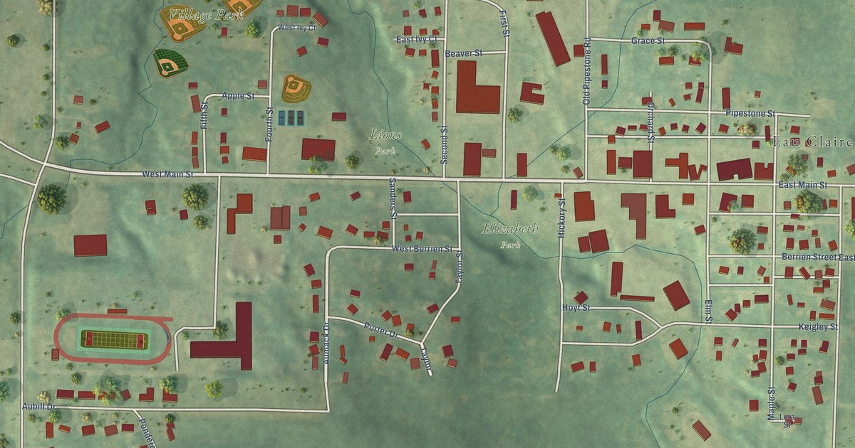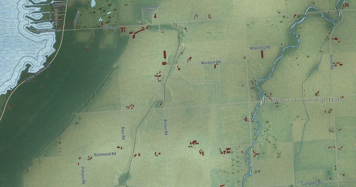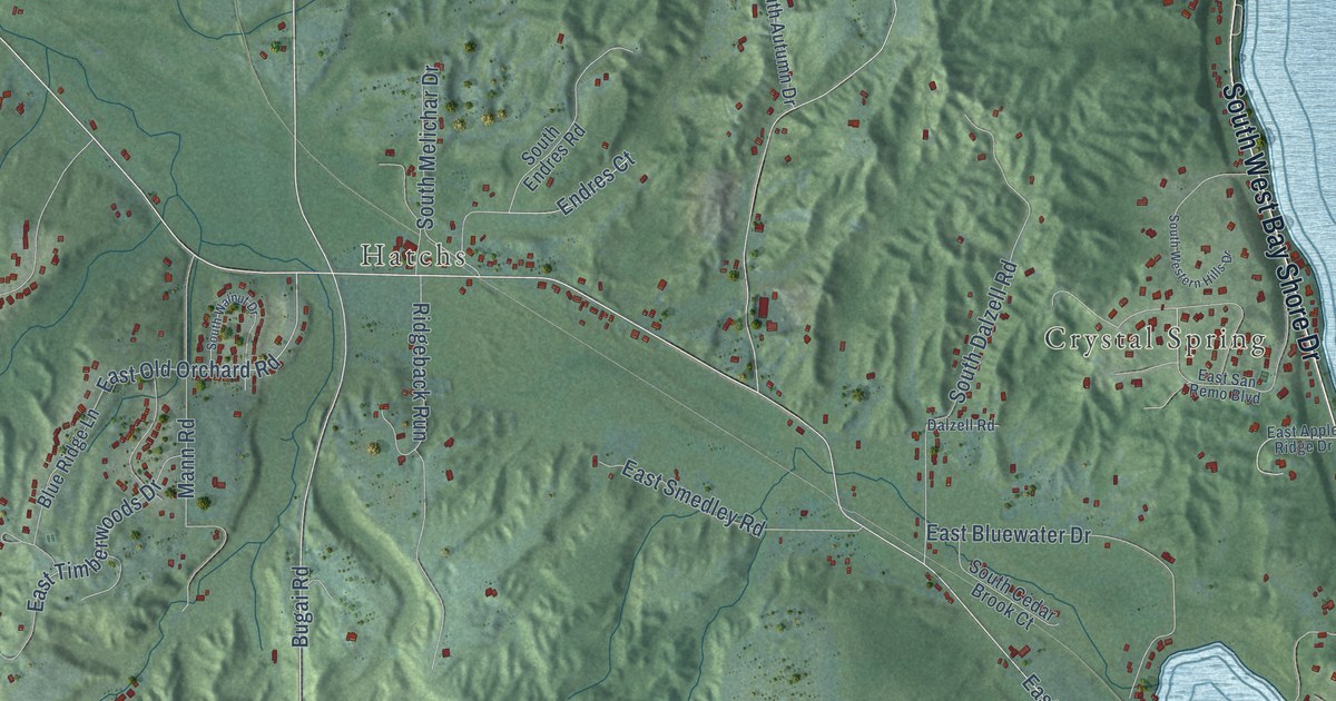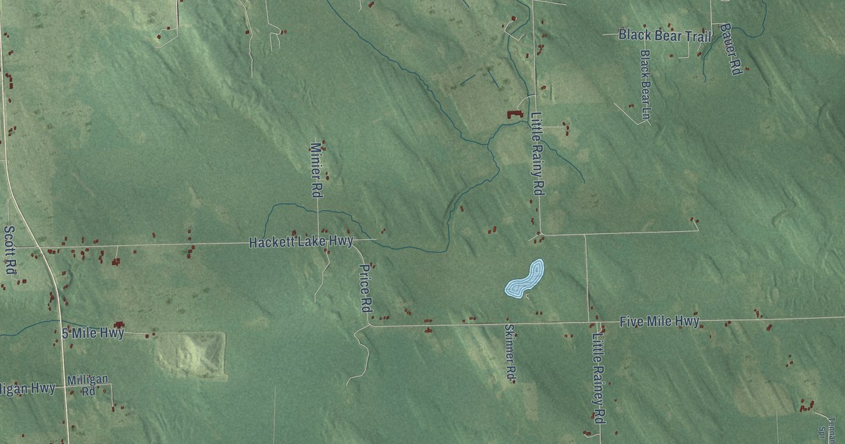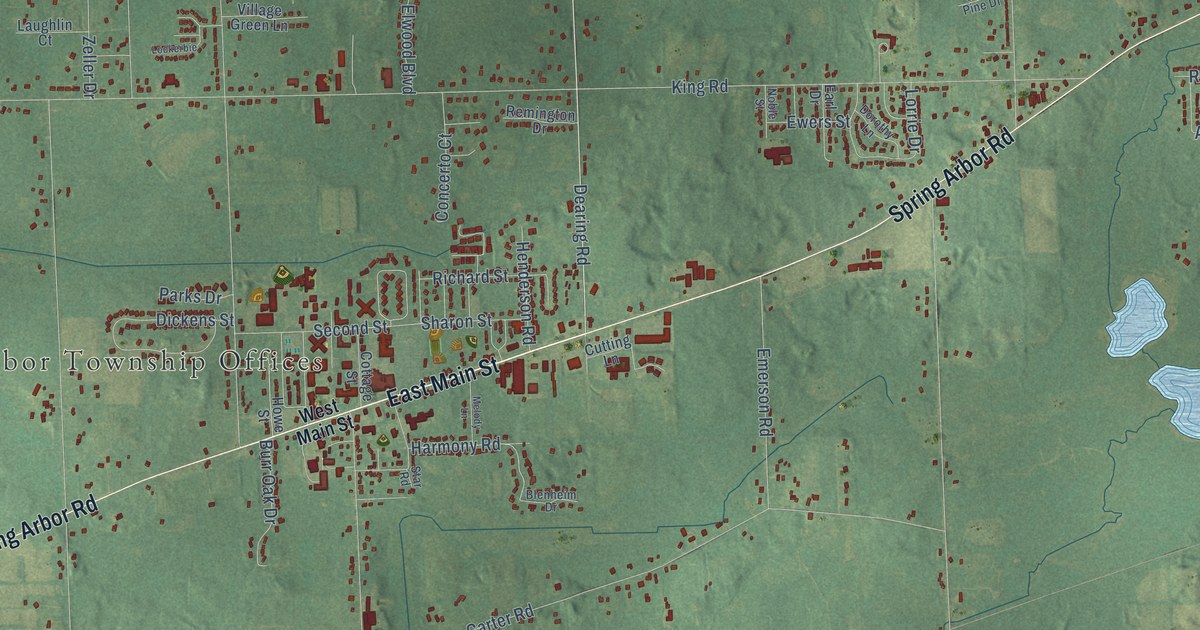
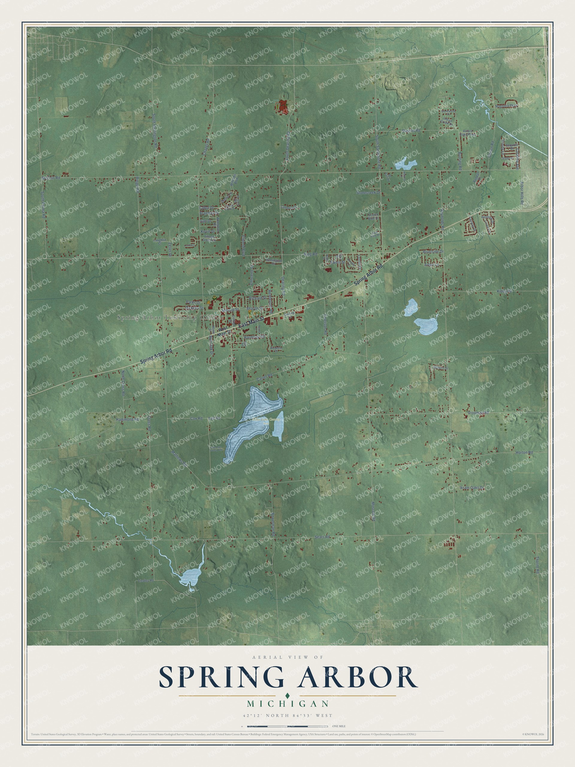
This beautifully detailed map of Spring Arbor, Michigan was created in 2026 using aerial imagery combined with modern topographical, census, street and landmark data. It's a modern aerial view of Spring Arbor in Jackson County, Michigan, that combines modern data with a vintage aesthetic. The roads feature printed names, and if you look closely you can find your exact house accurately shown in its correct location.
Explore an aerial view of Spring Arbor, Michigan
On this map you'll find Spring Arbor Township Offices, Lime Lake County Park, East Main Street, Spring Arbor Road, South Dearing Road, Dearing Road, South Sandstone Road, McCain Road, Sears Road, Mathews Road, Reynolds Road, King Road, and more. Each red shape is a building, so zoom in on the preview and look for yours.
Here is a piece of Spring Arbor history, in the words of the record. The History of Jackson County puts it this way: "Mr. John T. Durand surveyed a road which was laid out leading from Jackson to Spring Arbor, and this was the first road established by the township authorities."
The Census Bureau counted 8,530 people here in 2020.
Take a closer look at the Spring Arbor map
Names on this map
These names are printed on this map.
Places: Spring Arbor Township Offices and Lime Lake County Park.
Streets and roads: East Main Street, Spring Arbor Road, South Dearing Road, Dearing Road, South Sandstone Road, McCain Road, Sears Road, Mathews Road, Reynolds Road, King Road, Moscow Road, Chapel Road.
More street names, A to Z
Arbor Hills Road, Arbor Lane, Aviara Oaks Parkway, Blenheim Drive, Bowerman Road, Brandon Drive, Bunting Road, Burr Oak Drive, Cabot Drive, Cambria Drive, Carter Road, Catalina Avenue, Concerto Court, Cottage Street, Cox Road, Cross Road, Cutting Lane, Dana Lane, Dickens Street, Dorothy Lane, Earl Drive, East Circle Drive, Elwood Boulevard, Emerson Road, Ewers Street, Fairway Drive, Hammond Road, Harmony Road, Henderson Road, Hickory Lane, Horton Road, Howe Street, Ikram Oaks Drive, Indian Creek Drive, Ivan Drive, Jack Pine Drive, Kevin Drive, Kibby Road, Laughlin Court, Liedley Road, Lockerbie, Lorrie Drive, Lucerne Drive, Magnolia Parkway, Mc Cain Road, Melody Lane, Noble Street, North Cross Road, Obrien Road, Parks Drive, Remington Drive, Rendall Drive, Renfrew Drive, Richard Street, Riegel Road, Rimers Drive, Riverside Drive, Scotch Blue Drive, Second Street, Sequoia Drive, Sharon Street, Slayton Road, South Circle Drive, South Harrington Road, South Parma Road, Star Road, Staten Drive, Stonecreek Drive, Stonewood Drive, Teft Road, Thorne Road, Trinity Lane, Village Green Lane, Vrooman Road, Wendover Road, West Main Street, Williams Boulevard, Zeller Drive.
Created by KNOWOL in 2026. The buildings are small red shapes, the roads carry their printed names, and shaded relief shows the shape of the land. The title panel reads "AERIAL VIEW OF SPRING ARBOR, MICHIGAN" with 42°12' NORTH 84°33' WEST.
It suits a den, a classroom or a front hall, and it makes a gift for anyone with Spring Arbor roots. Open the preview and find the block you know. See sizes and frames for the Spring Arbor map.