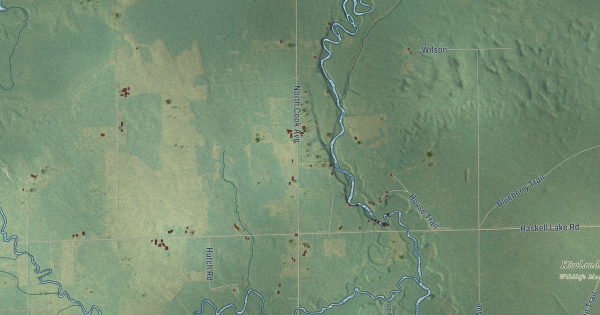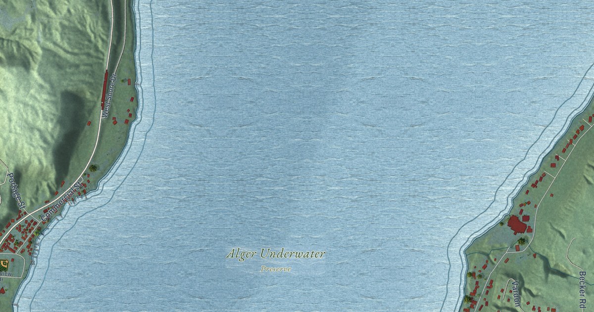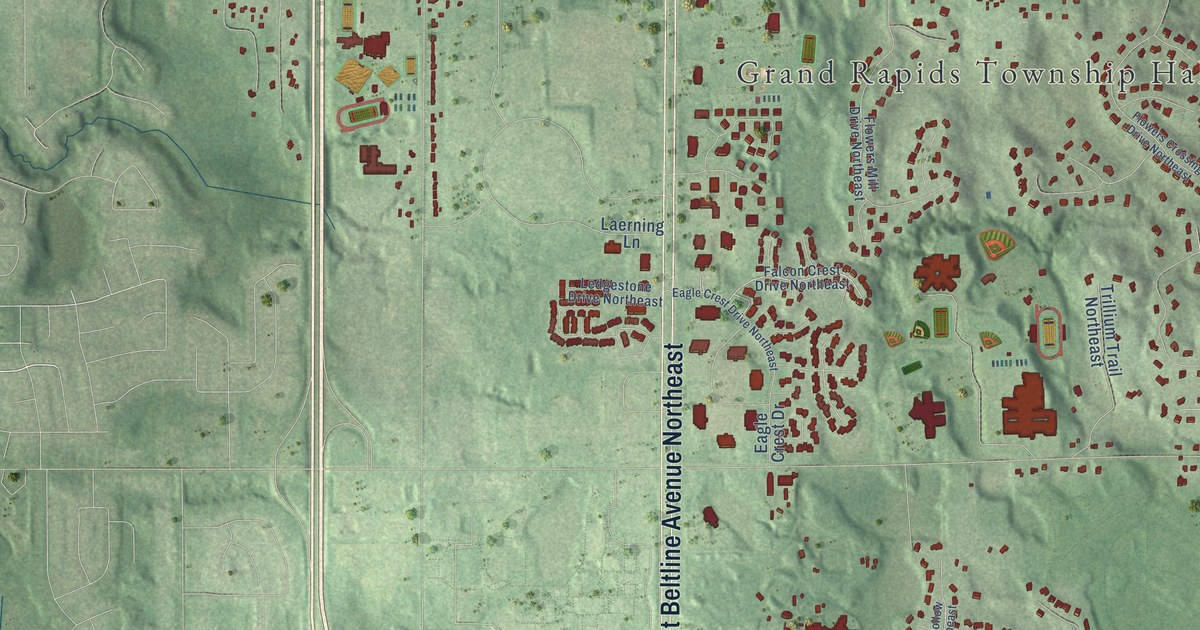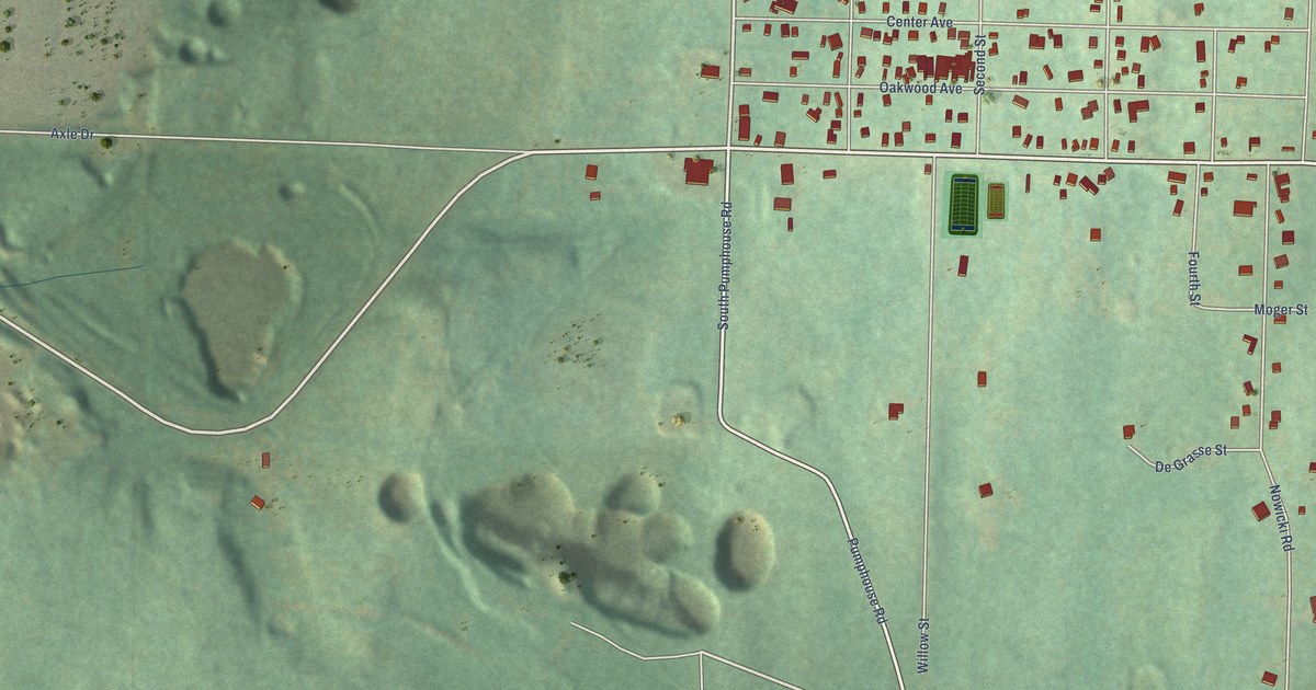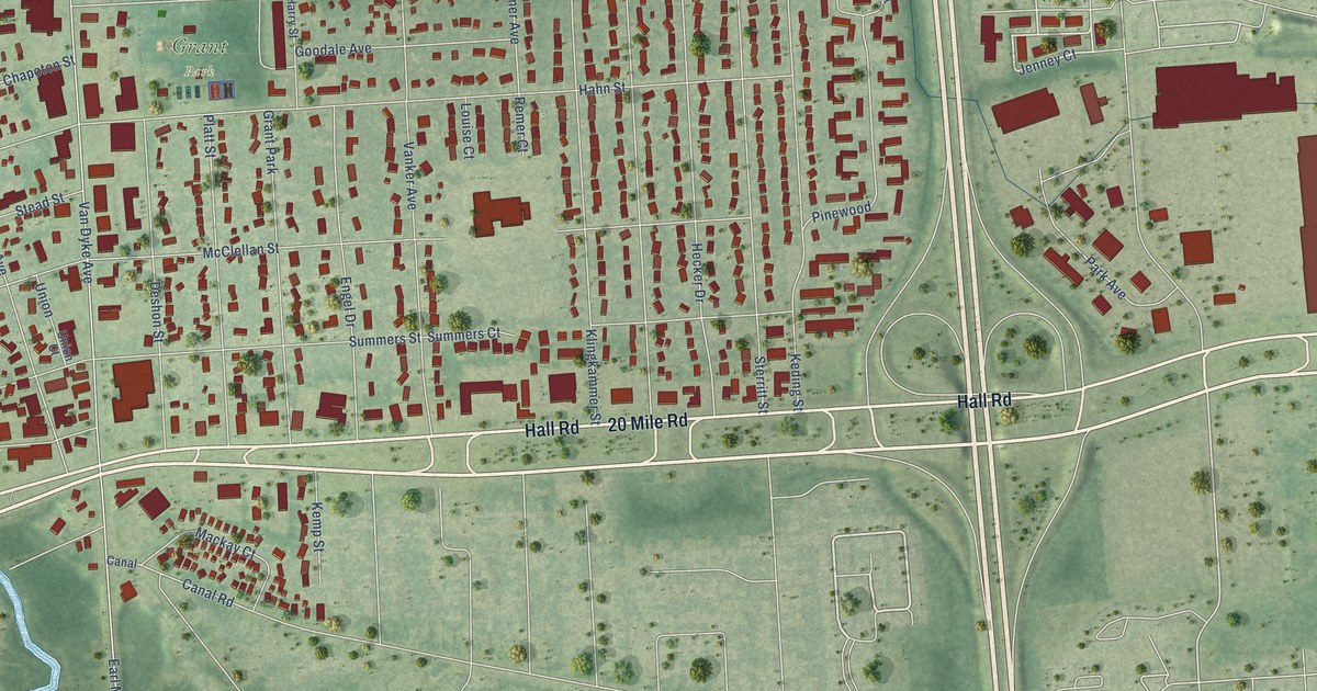
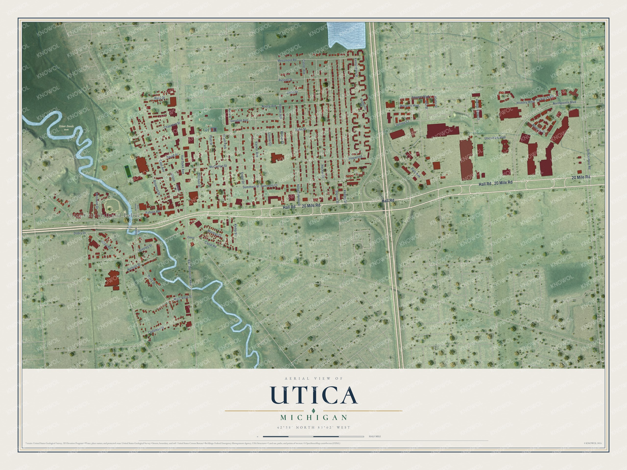
This beautifully detailed map of Utica, Michigan was created in 2026 using aerial imagery combined with modern topographical, census, street and landmark data. It's a modern aerial view of Utica in Macomb County, Michigan, that combines modern data with a vintage aesthetic. The roads feature printed names, and if you look closely you can find your exact house accurately shown in its correct location.
Explore an aerial view of Utica, Michigan
On this map you'll find Utica City Hall and Police, River Bends Park, Grant Park, Pioneer Park, Hall Road, 20 Mile Road, Utica Road, Jenney Court, Utica Park Boulevard, Schoenherr Road, Squiers Boulevard, Northpointe Boulevard, and more. Each red shape is a building, so zoom in on the preview and look for yours.
Every town has a first chapter, and Utica is no exception. The History of Macomb County puts it this way: "The present village of Utica was named Harlow by Joseph Stead. In 1833, a number of Americans who had settled in the neighborhood, assembled at Elias Scott's house to adopt a name for the village, when Gurdon C. Leech proposed the name Utica, which name was adopted."
Utica is a city in Macomb County. The Census Bureau counted 5,245 people here in 2020.
Take a closer look at the Utica map
Names on this map
These names are printed on this map.
Places: Utica City Hall and Police, River Bends Park, Grant Park and Pioneer Park.
Streets and roads: Hall Road, 20 Mile Road, Utica Road, Jenney Court, Utica Park Boulevard, Schoenherr Road, Squiers Boulevard, Northpointe Boulevard, Earl Memorial Highway, Van Dyke Avenue, Hahn Street, McClellan Street.
More street names, A to Z
Altz Street, Auburn Road, Birchcrest Street, Brownell Street, Canal, Canal Road, Cass Avenue, Chapoton Street, Crissman Street, Custer Avenue, Davis Drive, Davis Street, Deshon Street, Dobry Drive, East Utica Square, Engel Drive, Goodale Avenue, Greeley Street, Harry Street, Hecker Drive, Hickory East, Hickory West, Hidden View Court, Janis Street, Keding Street, Kemp Street, Kensington Street, Klingkammer Street, Louise Court, Mackay Court, Messmore Road, Moscone Drive, Nancy Avenue, Nichols Street, Noonan Court, Park Avenue, Pinewood, Platt Street, Remer Avenue, Remer Court, River Vista Street, Ruby Street, Russell Street, Stadler Street, Stead Street, Sterritt Street, Summers Court, Summers Street, Union, Union Court, Vanker Avenue, Weingartz West.
See it on a wall
The Utica map as a framed print. Swipe for more.


Created by KNOWOL in 2026. The buildings are small red shapes, the roads carry their printed names, and shaded relief shows the shape of the land. The title panel reads "AERIAL VIEW OF UTICA, MICHIGAN" with 42°38' NORTH 83°02' WEST.
Hang it in the hallway, the office or the cabin, or give it to someone who left Utica and still calls it home. Open the preview and look for a street you know. See sizes and frames for the Utica map.