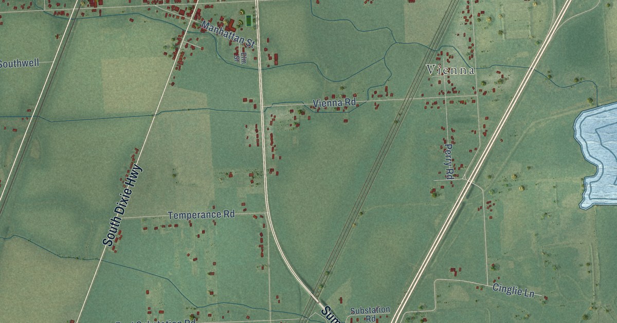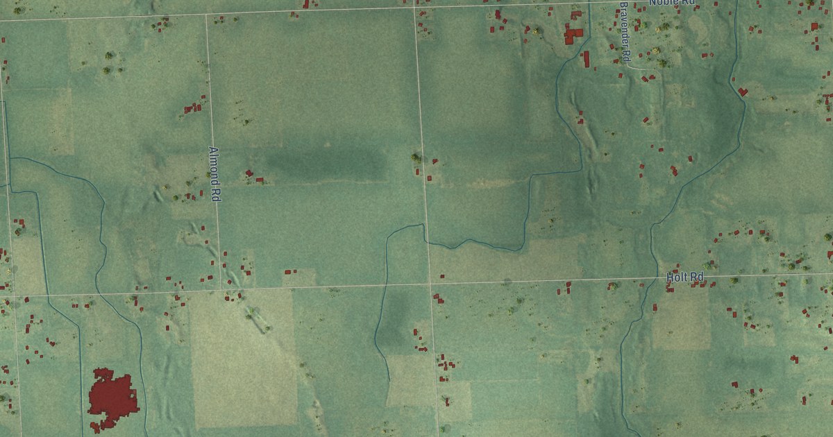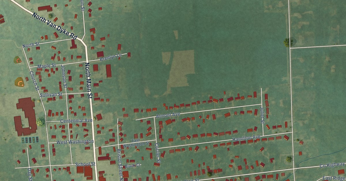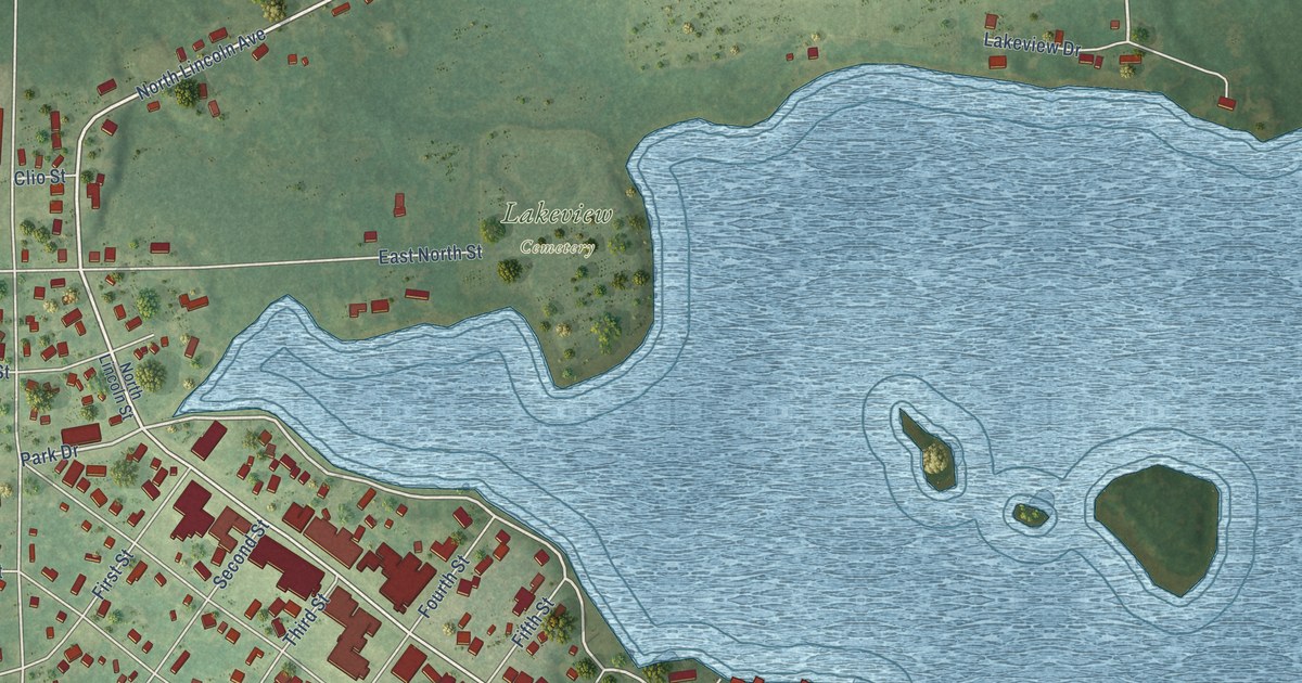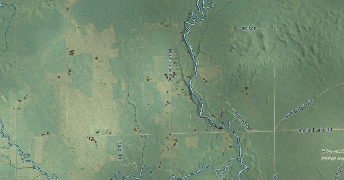
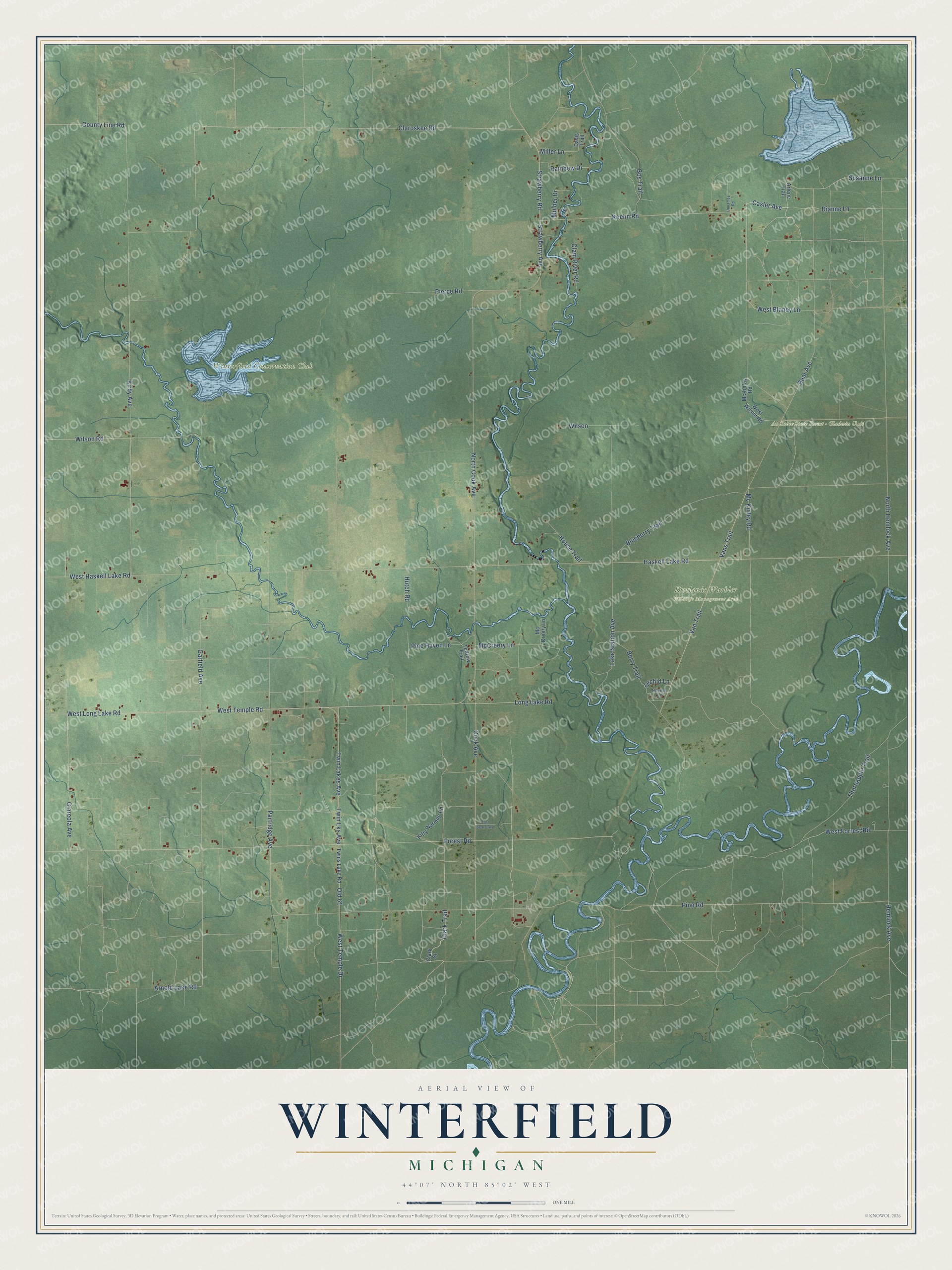
This beautifully detailed map of Winterfield, Michigan was created in 2026 using aerial imagery combined with modern topographical, census, street and landmark data. It's a modern aerial view of Winterfield in Clare County, Michigan, that combines modern data with a vintage aesthetic. The roads feature printed names, and if you look closely you can find your exact house accurately shown in its correct location.
Explore an aerial view of Winterfield, Michigan
On this map you'll find Au Sable State Forest – Gladwin Unit, Kirtlands Warbler Wildlife Management Area, Winterfield Conservation Club, Casler Avenue, Forest Road, Mc Kinley Road, Susanne Lane, Clark Trail, Arnold Lake Road, Claroskee Road, Pine Road, Cook Avenue, and more. Each red shape is a building, so zoom in on the preview and look for yours.
Here is a piece of Winterfield history, in the words of the record. The Clare County Review puts it this way: "The Winterfield or Davis School was centrally located at Winterfield. This little community at one time also boasted a post office, church and general store."
The Census Bureau counted 460 people here in 2020.
Take a closer look at the Winterfield map
Names on this map
These names are printed on this map.
Places: Au Sable State Forest - Gladwin Unit, Kirtlands Warbler Wildlife Management Area and Winterfield Conservation Club.
Streets and roads: Casler Avenue, Forest Road, Mc Kinley Road, Susanne Lane, Clark Trail, Arnold Lake Road, Claroskee Road, Pine Road, Cook Avenue, Wilson Road, Bos Trail, Garfield Avenue.
More street names, A to Z
Arlene Trail, Bear Avenue, Berry Trail, Beverly Lane, Blueberry Trail, Clam River Road, Clareola Avenue, Clark Street, County Line Road, Davis Trail, Dianne Lane, East Sears Avenue, Haskell Lake Road, Hemlock Avenue, House Trail, Hutch Road, Keehn Road, Kirby Avenue, Kitty Warmup Road, Lake Station Avenue, Long Lake Road, McCreery Lane, Mc Creery Lane, McKinley Road, Miller Lane, Mulber Drive, North Cook Avenue, North Hemlock Avenue, Old 61, Orchid Lane, Partridge Avenue, Pierce Road, Pine Haven Lane, Rainbow Drive, Strawberry Avenue, Strawberry Road, Tedrow Trail, Thornapple Trail, Twin Lakes Avenue, Twin Lks Avenue, Twins Lake Road, Unnamee Road, Vans Trail, Van Trail, West Blaney Lane, West Forrest Road, West Haskell Lake Road, West Long Lake Road, West Temple Drive, West Temple Road, West Wilson Road, Wilson.
Created by KNOWOL in 2026. The buildings are small red shapes, the roads carry their printed names, and shaded relief shows the shape of the land. The title panel reads "AERIAL VIEW OF WINTERFIELD, MICHIGAN" with 44°07' NORTH 85°02' WEST.
It suits a den, a classroom or a front hall, and it makes a gift for anyone with Winterfield roots. Open the preview and find the block you know. See sizes and frames for the Winterfield map.