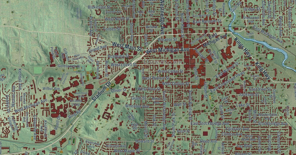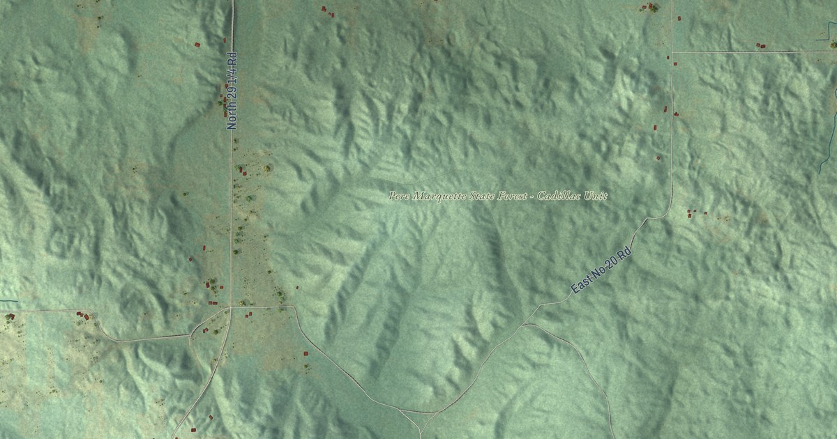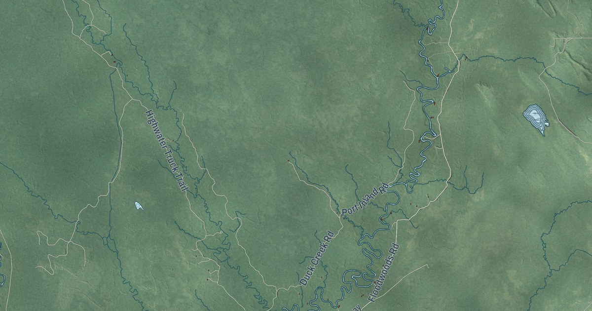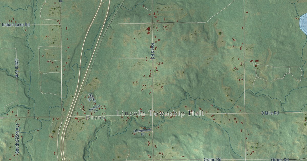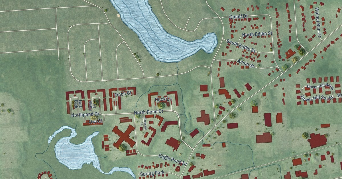
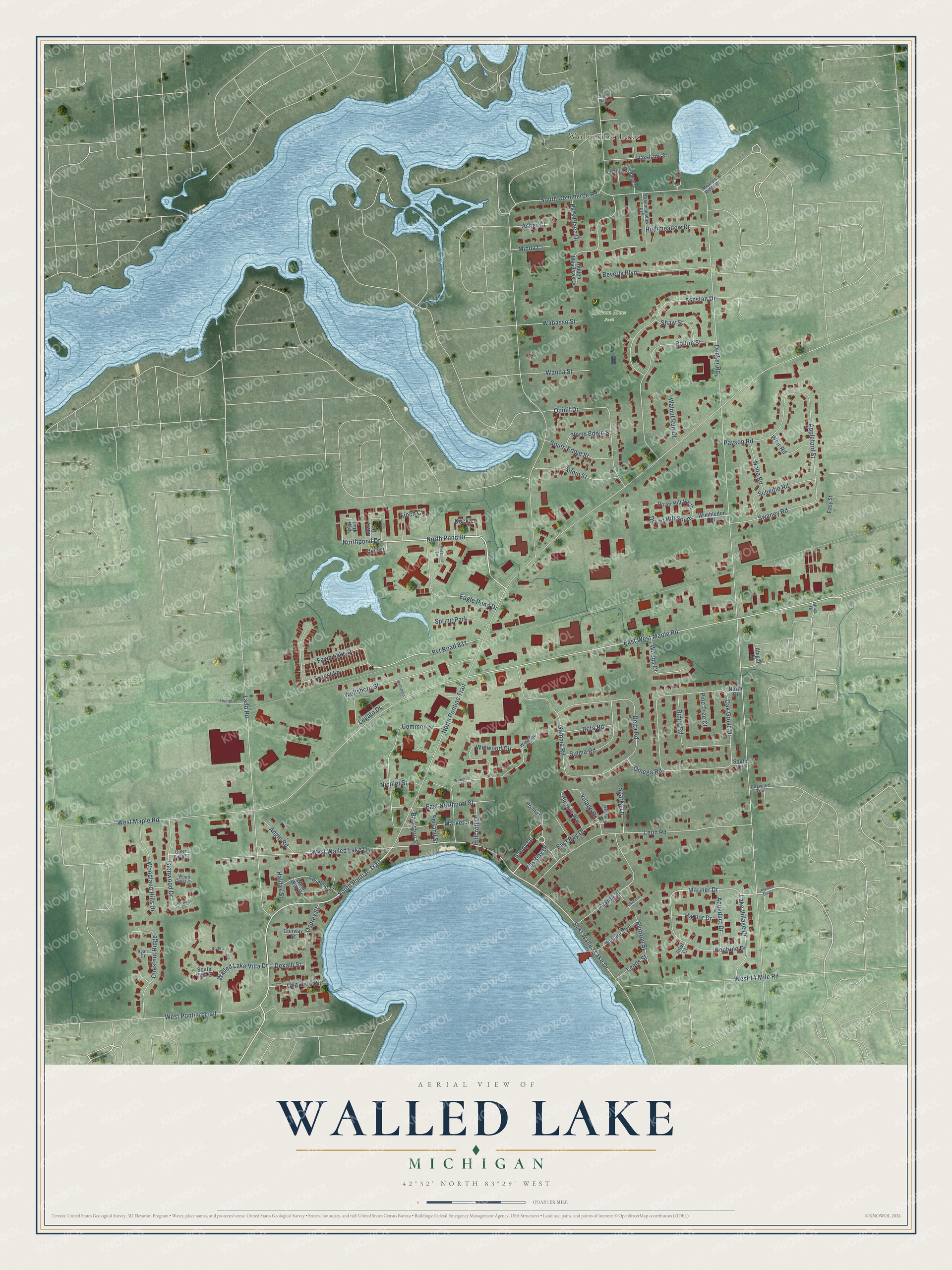
This beautifully detailed map of Walled Lake, Michigan was created in 2026 using aerial imagery combined with modern topographical, census, street and landmark data. It's a modern aerial view of Walled Lake in Oakland County, Michigan, that combines modern data with a vintage aesthetic. The roads feature printed names, and if you look closely you can find your exact house accurately shown in its correct location.
Explore an aerial view of Walled Lake, Michigan
On this map you'll find Wolverine Lake, Hiram Sims Park, South Pontiac Trail, Eastbay Drive, North Pond Drive, East Walled Lake Drive, Mariner Drive, Walled Lake Villa Drive, Northpond Drive, East West Maple Road, Nicolet Street, East Bay Drive, and more. Each red shape is a building, so zoom in on the preview and look for yours.
Here is a piece of Walled Lake history, in the words of the record. The History of Oakland County puts it this way: "The first post-ofiice was established about 1832, the route being from Farmington to Walled Lake. The mail was carried by Deacon William Tenny, on horseback."
Walled Lake is a city in Oakland County. The Census Bureau counted 7,250 people here in 2020.
Take a closer look at the Walled Lake map
Names on this map
These names are printed on this map.
Places: Wolverine Lake, Hiram Sims Park and Spring Park.
Streets and roads: South Pontiac Trail, Eastbay Drive, North Pond Drive, East Walled Lake Drive, Mariner Drive, Walled Lake Villa Drive, Northpond Drive, East West Maple Road, Nicolet Street, East Bay Drive, Decker Road, North Pontiac Trail.
More street names, A to Z
Abigail Court, Alexa Drive, Angle Road, Annjo Street, Appleford Street, Aqueduct Drive, Arvida Street, Asher Court, Ashstan Drive, Barnston Street, Beta Road, Beverly Boulevard, Bluffton Street, Bolton Street, Cheriton Street, Chestnut Ridge, Coalmont Street, Common Street, Conway Street, Crestview Boulevard, Dekalb Street, Delta Road, Dogwood Trail, Dover Hill North, Dover Hill South, Duck Lane, Eagle Pond Drive, East Northport Street, Easy Street, Enterprise Drive, Fawn Lake Drive, Ferland Street, Finch Court, Forest Lane, Gamma Road, Glenwood Court, Glenwood Drive, Greenmeadow Drive, Green Vista Court, Halifax Street, Harbor Drive, Hawk Drive, Hidden Harbor, Hidden Meadows Drive, Highmeadow Drive, Hillcroft Drive, Inlet Court, Ladd Road, Lake Village Drive, Lark Path, Leeds Street, Legato Drive, Leon Road, Market Street, Meadow Ridge Drive, Minda Court, Neptune Drive, Nolta Road, North Drive, North Eddie Street, North Villa Court, Oak Grove Drive, Oakshade Street, Old Pine Way, Omega Road, Osprey Street, Owl Court, Park Place Drive, Payson Road, Pheasant Lane, Pine Tree Court, Pointe Drive, Pvt Road 831, Quinif Drive, Ridge Road, Riviera Court, Rosebud Street, Ryan Court, Sandy Lane, Scheifle Road, Shaw Street, Sigma Road, Silverbrook Ridge Drive, South Commerce Road, South Drive, South Eddie Street, South Villa Court, Sparks Lane, Swaney Road, Village Drive, Wabasso Street, Walnut Run Court, Wanda Street, Weir Road, Welfare Boulevard, Wellsboro, Wellsboro Street, West 14 Mile Road, West Maple Road, West Pontiac Trail, West Walled Lake Drive, Wimbledon Drive, Wind Way Drive, Winwood Circle, Winwood Court, Witherall Street, Wood Crest Court, Woodland Hills Drive, Woods Court.
Created by KNOWOL in 2026. The buildings are small red shapes, the roads carry their printed names, and shaded relief shows the shape of the land. The title panel reads "AERIAL VIEW OF WALLED LAKE, MICHIGAN" with 42°32' NORTH 83°29' WEST.
It suits a den, a classroom or a front hall, and it makes a gift for anyone with Walled Lake roots. Open the preview and find the block you know. See sizes and frames for the Walled Lake map.