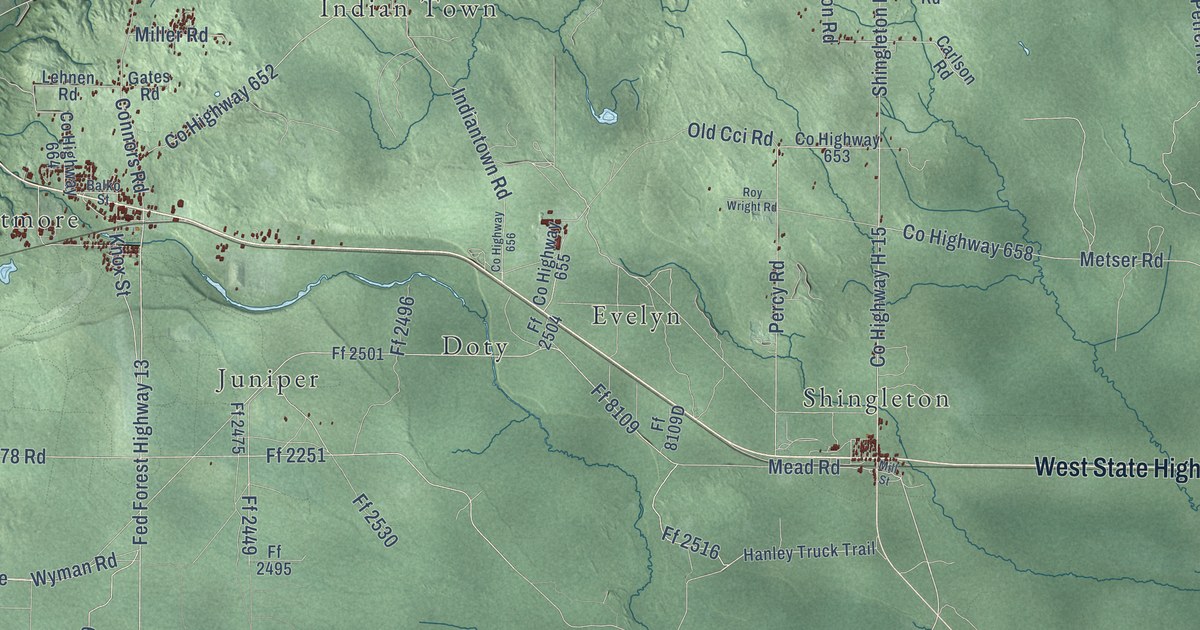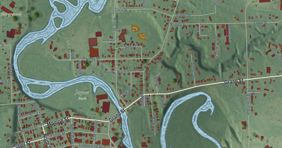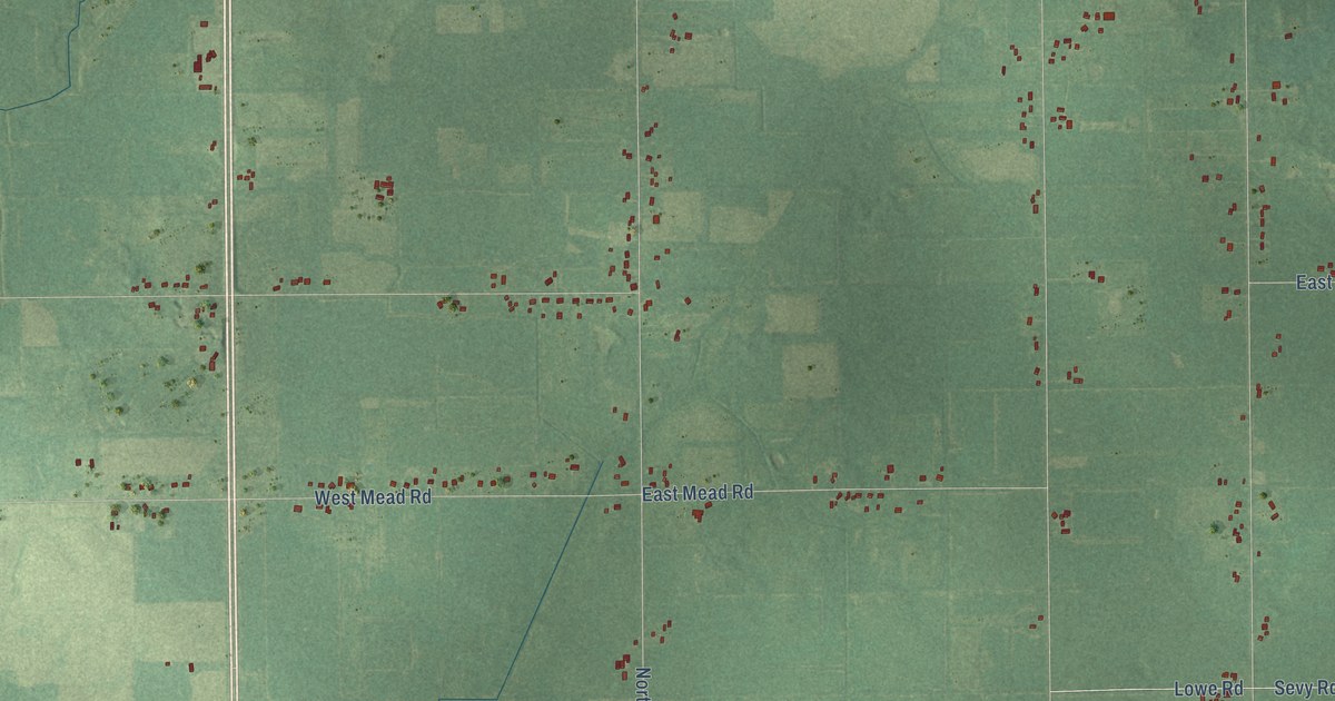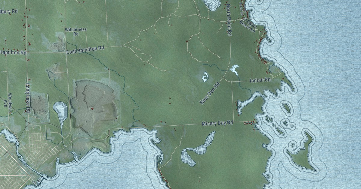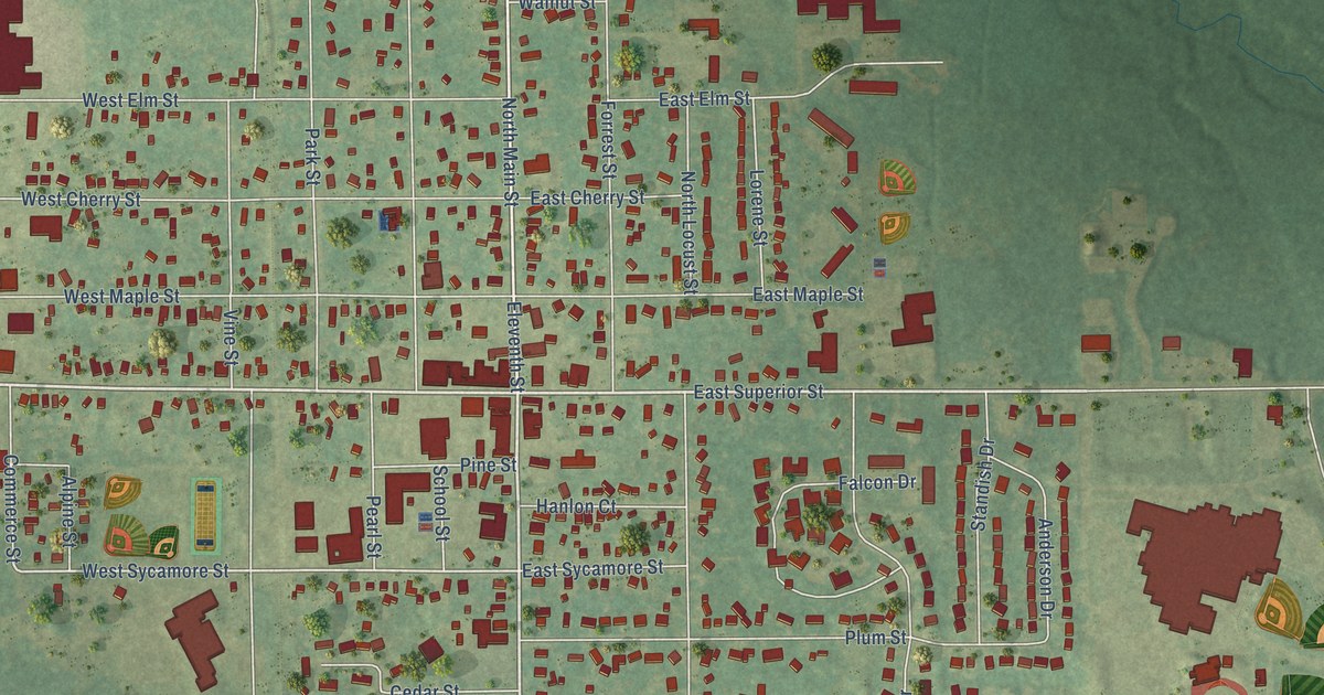
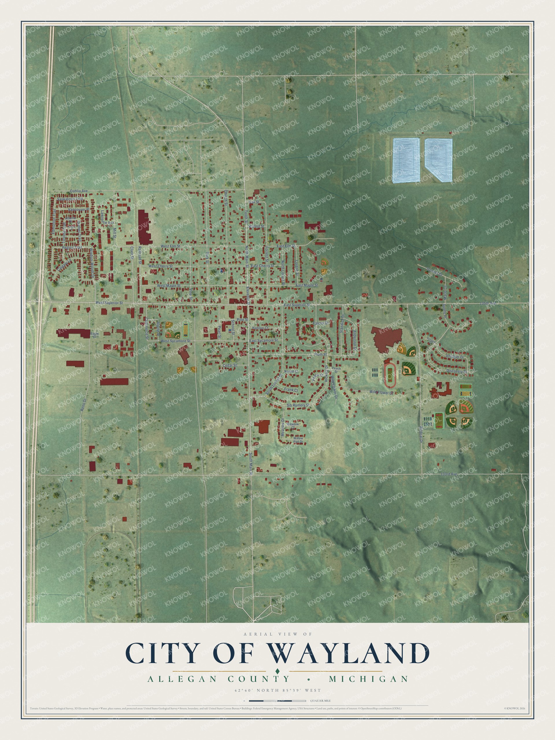
This beautifully detailed map of Wayland, Michigan was created in 2026 using aerial imagery combined with modern topographical, census, street and landmark data. It's a modern aerial view of Wayland in Allegan County, Michigan, that combines modern data with a vintage aesthetic. The roads feature printed names, and if you look closely you can find your exact house accurately shown in its correct location.
Explore an aerial view of Wayland, Michigan
On this map you'll find North Main Street, West Superior Street, South Main Street, East Superior Street, Windsor Woods Drive, 135th Avenue, Regina Trail, West Sycamore Street, Quebec Trail, Saskatoon Trail, 133rd Avenue, Dahlia Avenue, and more. Each red shape is a building, so zoom in on the preview and look for yours.
Here is a piece of Wayland history, in the words of the record. The Twentieth Century History of Allegan County puts it this way: "The First Congregational church of Wayland was organized in 1859, and a church building was erected the following year. There were seventeen original members and Rev. A. McKay was the first pastor."
Wayland is a city in Allegan County. The Census Bureau counted 4,435 people here in 2020.
Take a closer look at the Wayland map
Names on this map
These names are printed on this map.
Streets and roads: North Main Street, West Superior Street, South Main Street, East Superior Street, Windsor Woods Drive, 135th Avenue, Regina Trail, West Sycamore Street, Quebec Trail, Saskatoon Trail, 133rd Avenue, Dahlia Avenue.
More street names, A to Z
Alberta Place, Alpine Street, Anderson Drive, Apollo Place, Calgary Lane, Cedar Street, Church Street, Clark Street, Commerce Street, Discovery Drive, Eagle Drive, East Cherry Street, East Elm Street, East Maple Street, East Sycamore Street, Edmonton Trail, Eleventh Street, Falcon Drive, Forrest Street, Frank Court, Geneva Drive, Halifax Place, Hanlon Court, Hickory Drive, Lawrence Avenue, Lorene Street, Marlo Lane, Meadow Court, Meadow Drive, Mill Street, Naman Court, North Locust Street, Oak Street, Park Street, Peach Court, Peach Street, Pearl Street, Pine Street, Plum Street, Railroad Street, Reno Drive, School Street, Sib Rumery Street, South Locust Street, Standish Drive, Tenth Street, Toronto Trail, Vancouver Place, Vine Street, Voyager Court, Voyager Drive, Walnut Street, West Cherry Street, West Elm Street, West Maple Street, Wildcat Drive, Wild Flower Court, Wild Flower Drive, Willow Run Drive.
Created by KNOWOL in 2026. The buildings are small red shapes, the roads carry their printed names, and shaded relief shows the shape of the land. The title panel reads "AERIAL VIEW OF CITY OF WAYLAND, ALLEGAN COUNTY • MICHIGAN" with 42°40' NORTH 85°39' WEST.
It suits a den, a classroom or a front hall, and it makes a gift for anyone with Wayland roots. Open the preview and find the block you know. See sizes and frames for the Wayland map.