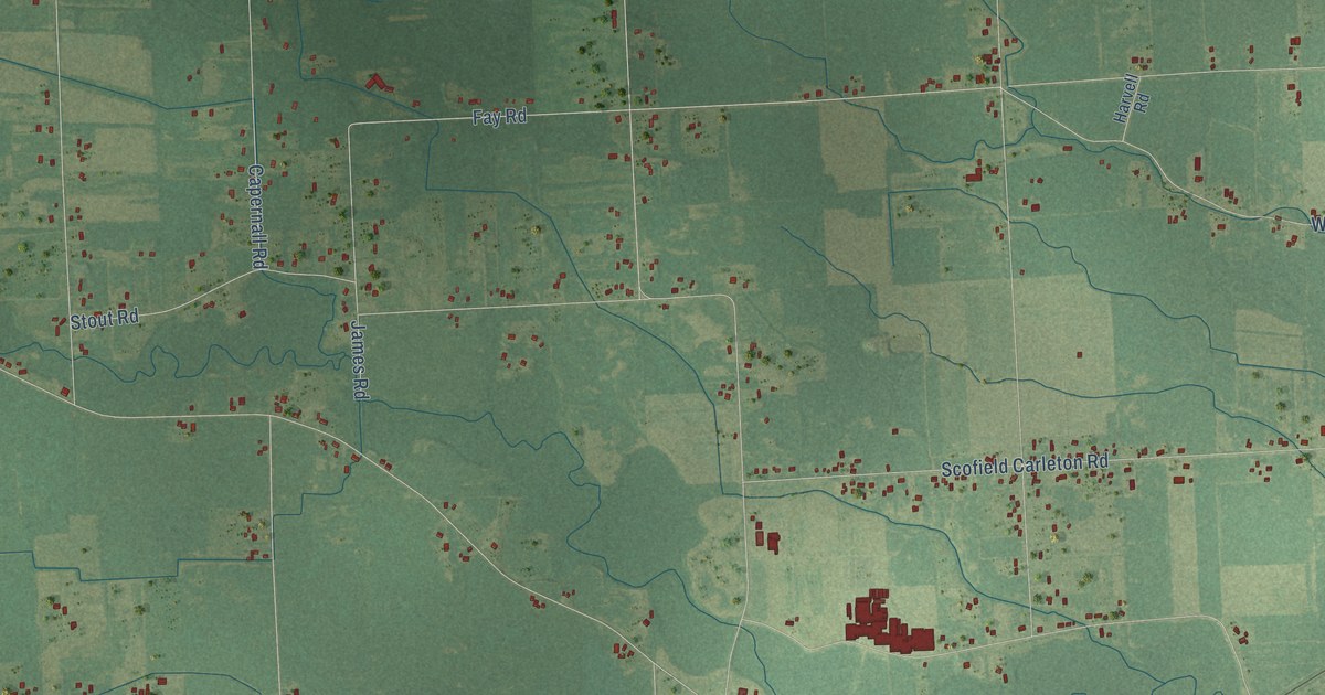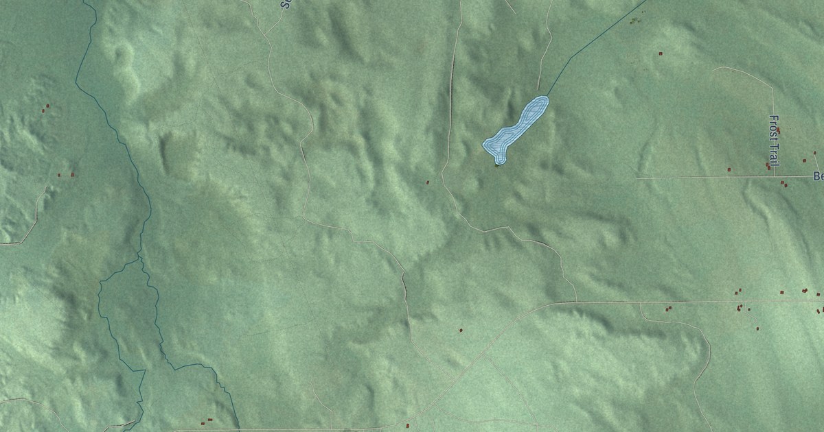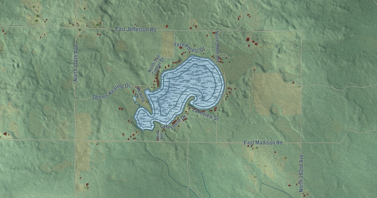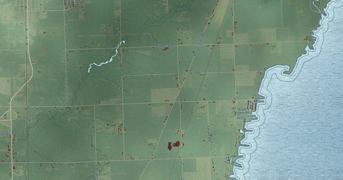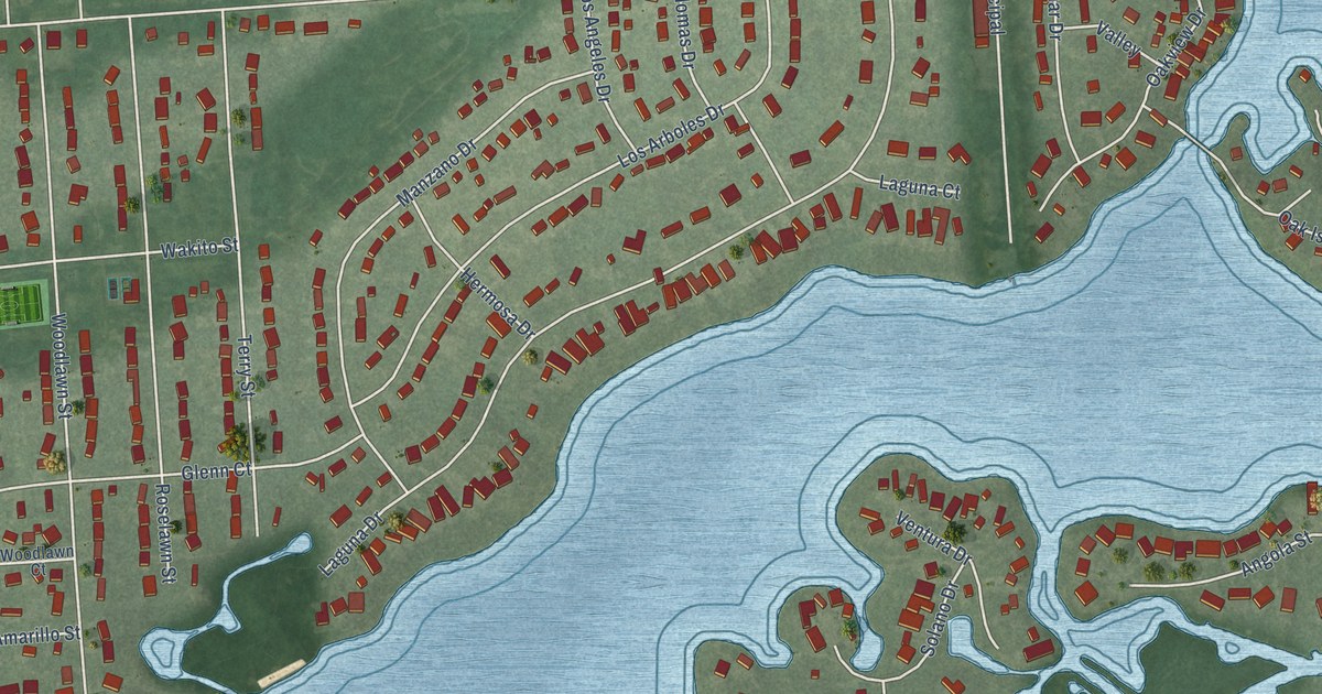
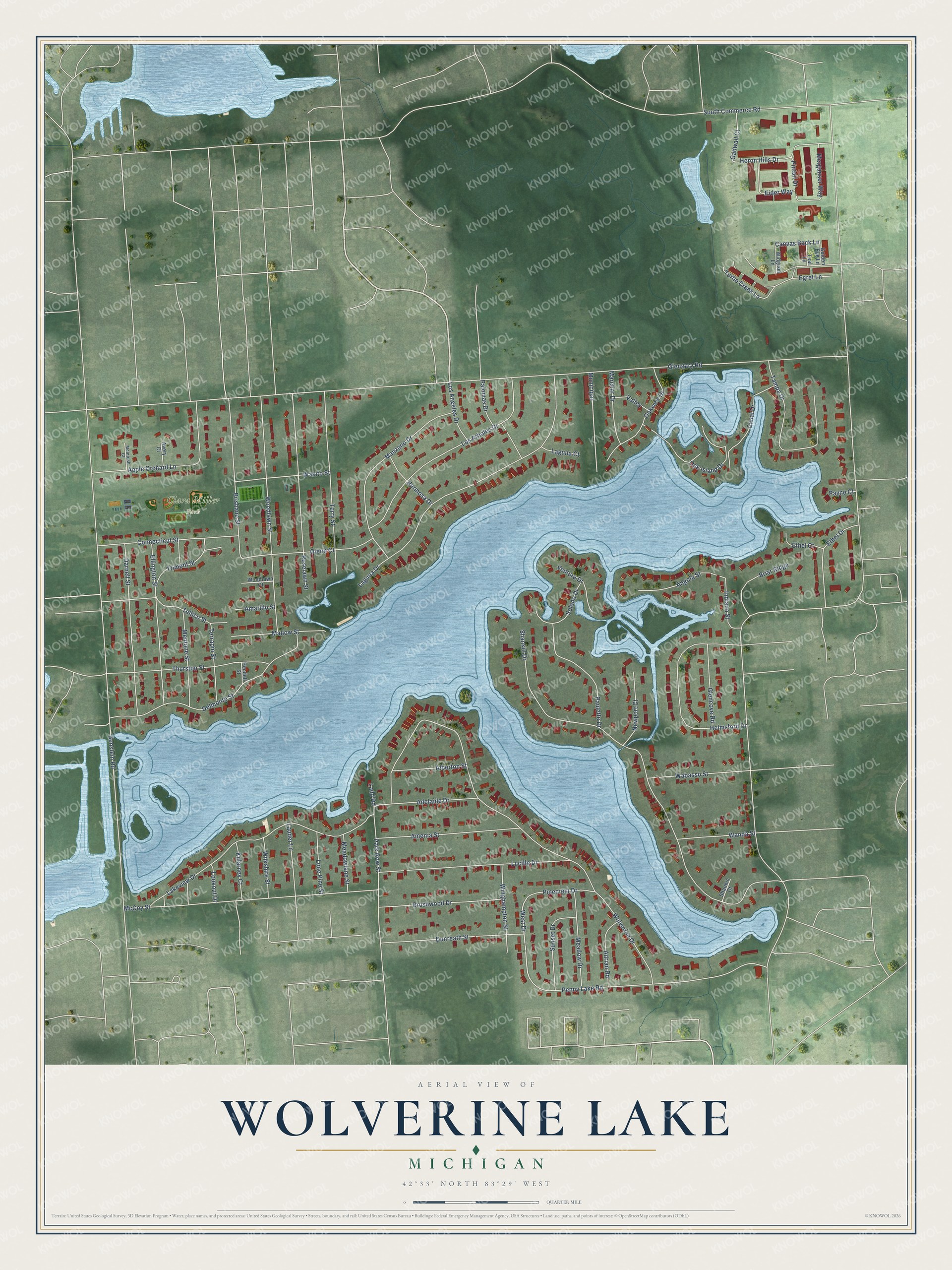
This beautifully detailed map of Wolverine Lake, Michigan was created in 2026 using aerial imagery combined with modern topographical, census, street and landmark data. It's a modern aerial view of Wolverine Lake in Oakland County, Michigan, that combines modern data with a vintage aesthetic. The roads feature printed names, and if you look closely you can find your exact house accurately shown in its correct location.
Explore an aerial view of Wolverine Lake, Michigan
On this map you'll find Clara Miller Park, Canvas Back Lane, Park Row Street, West Drive, South Commerce Road, Glengary Road, Wolverine Drive, Benstein Road, Shankin Drive, Laguna Drive, Lakeview Drive, McCoy Street, and more. Each red shape is a building, so zoom in on the preview and look for yours.
Every town has a first chapter, and Wolverine Lake is no exception. The record at arcgis.com puts it this way: "Wolverine Lake was created in the 1920s through a private damming and inundation project funded by local dentist and developer Howard Stuart."
Wolverine Lake is a village in Oakland County. The Census Bureau counted 4,544 people here in 2020.
Take a closer look at the Wolverine Lake map
Names on this map
These names are printed on this map.
Places: Clara Miller Park.
Streets and roads: Canvas Back Lane, Park Row Street, West Drive, South Commerce Road, Glengary Road, Wolverine Drive, Benstein Road, Shankin Drive, Laguna Drive, Lakeview Drive, McCoy Street, Woodlawn Street.
More street names, A to Z
Adelaide Drive, Adrian Road, Alberton Street, Amarillo Street, Amenia Street, Angola Street, Apple Orchard Lane, Avery Court, Briar Ridge, Brisbane Street, Brushwood Drive, Canal Drive, Connecticut Street, Darnell Street, Delmonte Street, Dunreath Street, Egret Lane, Eider Way, Ellington Street, Ethel Court, Ethel Drive, Gadwall Court, Glencove Road, Glenn Court, Golden Eye Lane, Helmsford Drive, Hermosa Drive, Heron Hills Drive, Indiana Street, Killarney Court, Ladd Road, Laguna Court, Lauder Lane, Lone Pine Street, Lookout Drive, Los Angeles Drive, Los Arboles Drive, Lucille Drive, Mallow Street, Manzano Drive, Marchar Drive, McIntosh Court, Meadow Drive, Meadowlane Street, Mentone Street, Merganser Way, Municipal, Newport Court, Oak Island Drive, Oakview Drive, Palomas Drive, Paulette Drive, Payne Court, Pendell Street, Penny Lake Road, Pinecrest Drive, Pintail Drive, Roselawn Street, Shankin Court, Solano Drive, Sunset Drive, Tampa Drive, Teal Lane, Tellico Street, Terrapin Street, Terry Street, Thurston Street, Trimont Street, Turtle Creek Lane, Valley, Ventura Drive, Wabasso Street, Wakito Street, Wanda Street, Widgeon Lane, Wilkshire Street, Winghampton Street, Woodlawn Court.
Created by KNOWOL in 2026. The buildings are small red shapes, the roads carry their printed names, and shaded relief shows the shape of the land. The title panel reads "AERIAL VIEW OF WOLVERINE LAKE, MICHIGAN" with 42°33' NORTH 83°29' WEST.
Hang it in the hallway, the office or the cabin, or give it to someone who left Wolverine Lake and still calls it home. Open the preview and look for a street you know. See sizes and frames for the Wolverine Lake map.