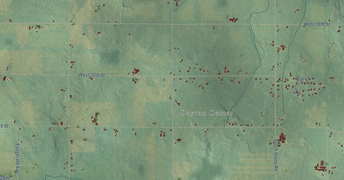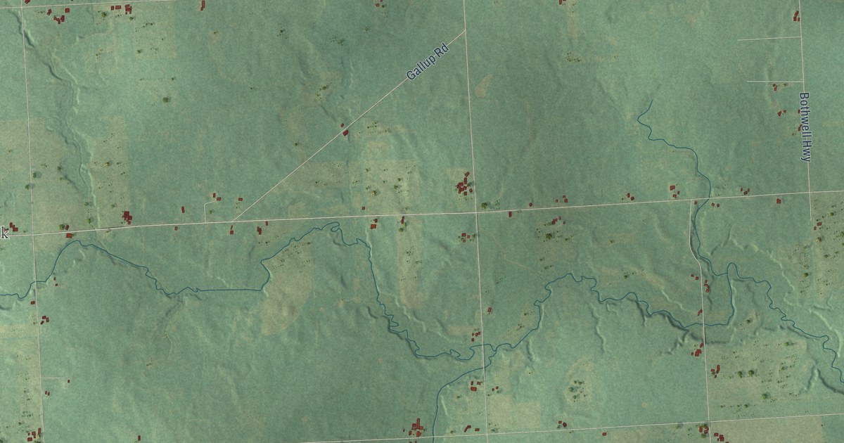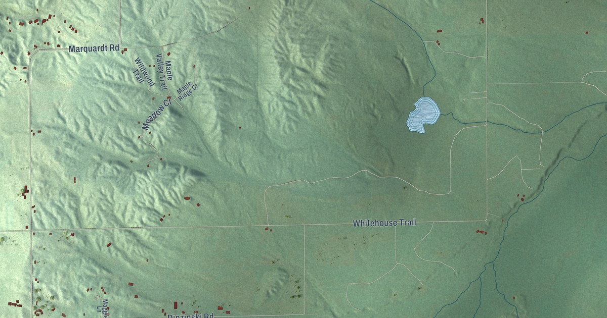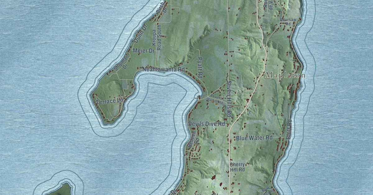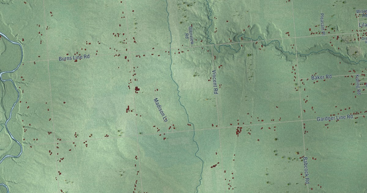
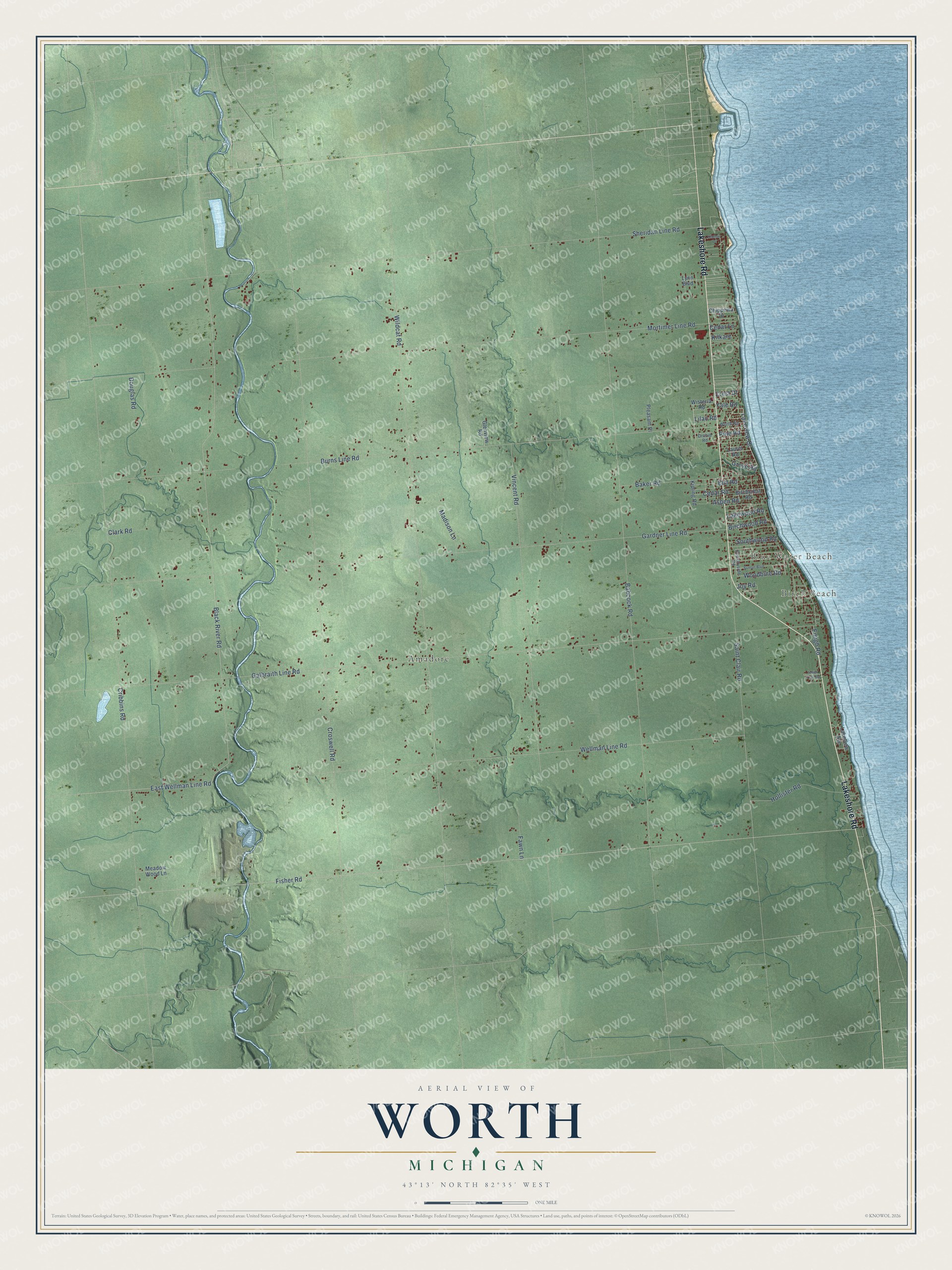
This beautifully detailed map of Worth, Michigan was created in 2026 using aerial imagery combined with modern topographical, census, street and landmark data. It's a modern aerial view of Worth in Sanilac County, Michigan, that combines modern data with a vintage aesthetic. The roads feature printed names, and if you look closely you can find your exact house accurately shown in its correct location.
Explore an aerial view of Worth, Michigan
On this map you'll find Birch Beach, Blue Water Beach, Amadore, Lakeshore Road, Lakeview Drive, Grove Road, Black River Road, Fisher Road, Galbraith Line Road, Sheridan Line Road, Babcock Road, Wildcat Road, and more. Each red shape is a building, so zoom in on the preview and look for yours.
Here is a piece of Worth history, in the words of the record. The Michigan History Center puts it this way: "In 1848 Thomas and Margaret Spencer Matthews came to Worth Township from Ontario, Canada, following other farm families who migrated from Upper Canada to Michigan."
The Census Bureau counted 3,455 people here in 2020.
Take a closer look at the Worth map
Names on this map
These names are printed on this map.
Places: Birch Beach, Blue Water Beach and Amadore.
Streets and roads: Lakeshore Road, Lakeview Drive, Grove Road, Black River Road, Fisher Road, Galbraith Line Road, Sheridan Line Road, Babcock Road, Wildcat Road, Cribbins Road, Croswell Road, Mortimer Line Road.
More street names, A to Z
Aspen Road, Baker Road, Birchcrest Road, Birchwood Road, Burns Line Road, Cedar Lane, Cedar Road, Chippewa Drive, Clark Road, Countryside Road, Crest Drive, Douglas Road, East Wellman Line Road, Elm Road, Emigh Road, Fawn Lane, Gardner Line Road, Glenview Road, Hollister Road, Indian Trail Road, Joy Road, Kilkare, Kimmel Drive, Kipling Road, Lakeview Avenue, Lakewood Road, Laurel Road, Lilac Road, Lynn Boulevard, Madison Lane, Meadow Wood Lane, Orchid Road, Pine Road, Pleasant Place, Saint Clair Road, Southwood Road, Sunset Boulevard, Vincent Road, Wellman Line Road, Wisteria Road, Woodbine Road, Worth Road, Yale Road.
See it on a wall
The Worth map as a framed print. Swipe for more.


Created by KNOWOL in 2026. The buildings are small red shapes, the roads carry their printed names, and shaded relief shows the shape of the land. The title panel reads "AERIAL VIEW OF WORTH, MICHIGAN" with 43°13' NORTH 82°35' WEST.
It suits a den, a classroom or a front hall, and it makes a gift for anyone with Worth roots. Open the preview and find the block you know. See sizes and frames for the Worth map.