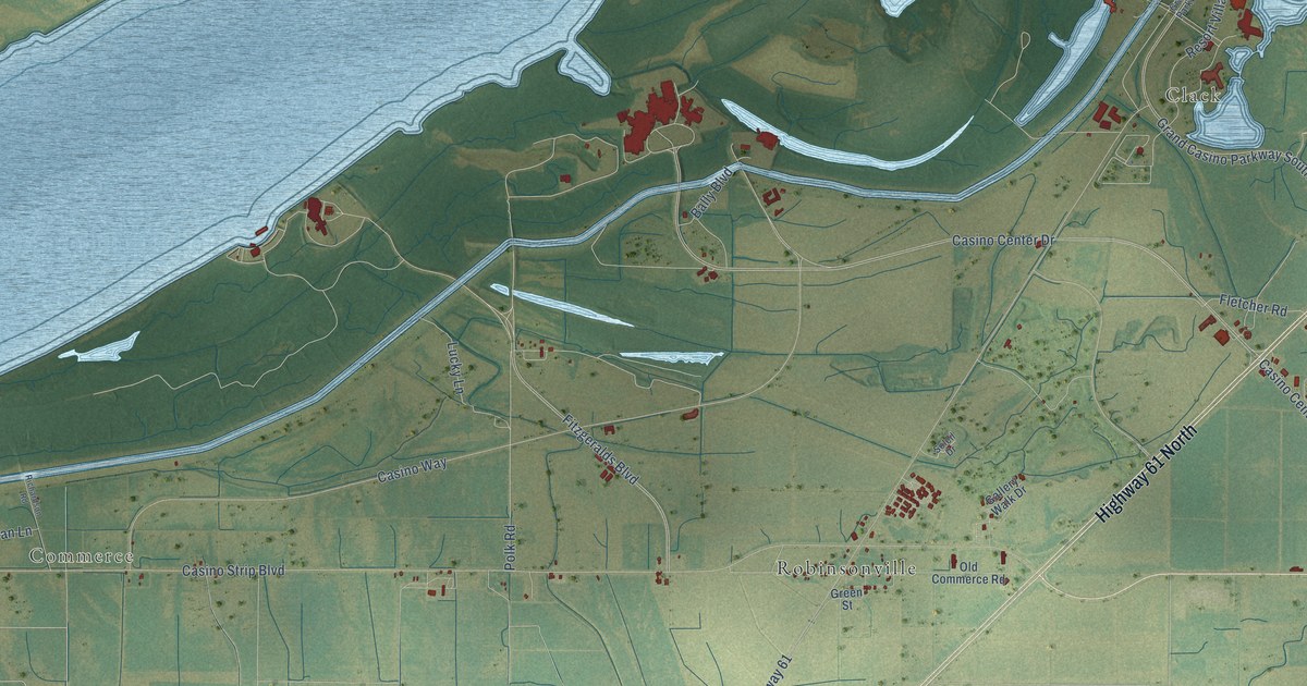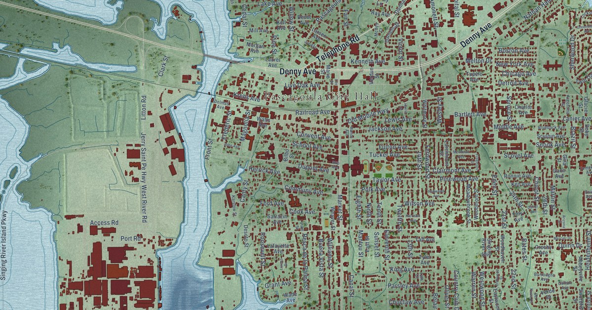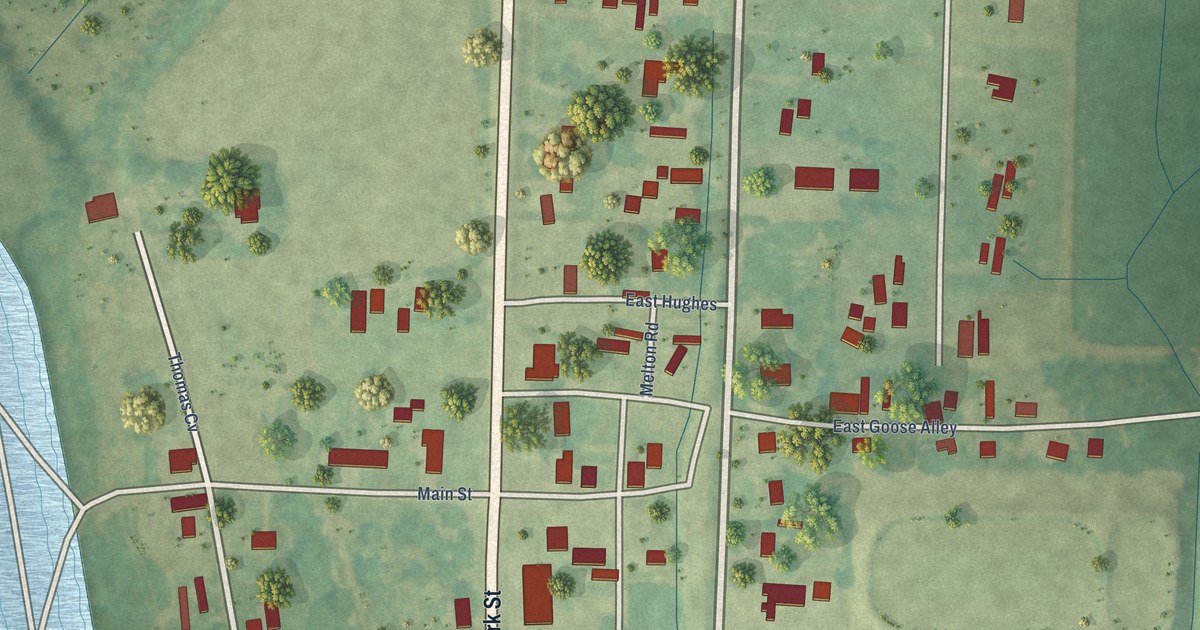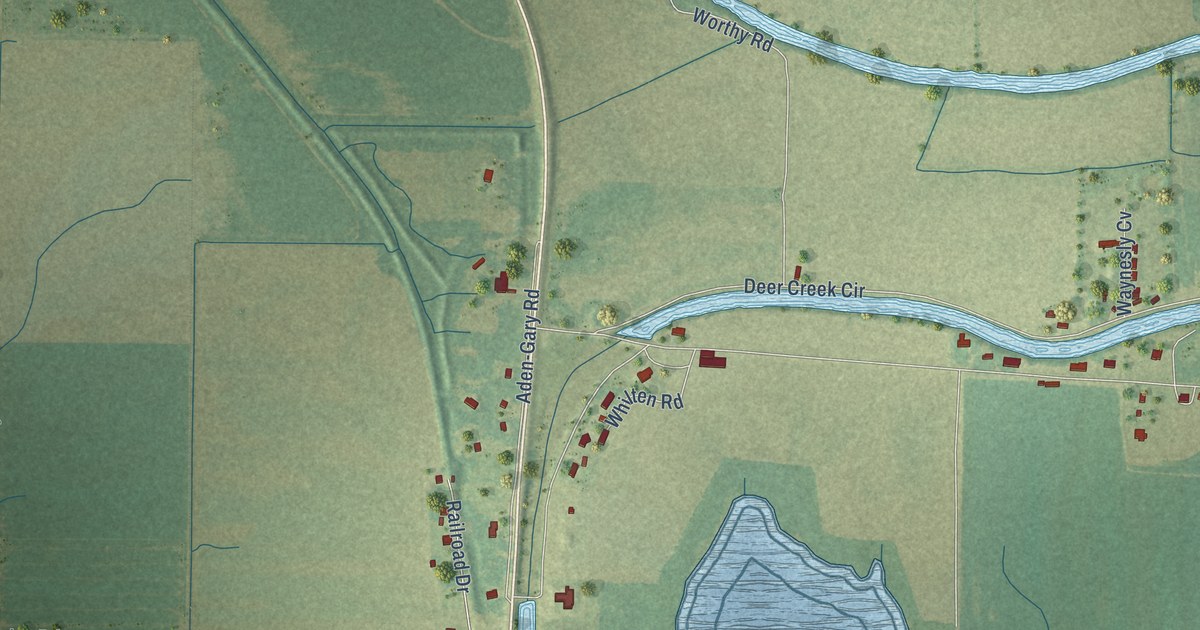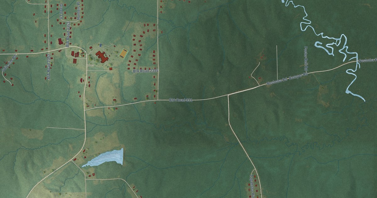
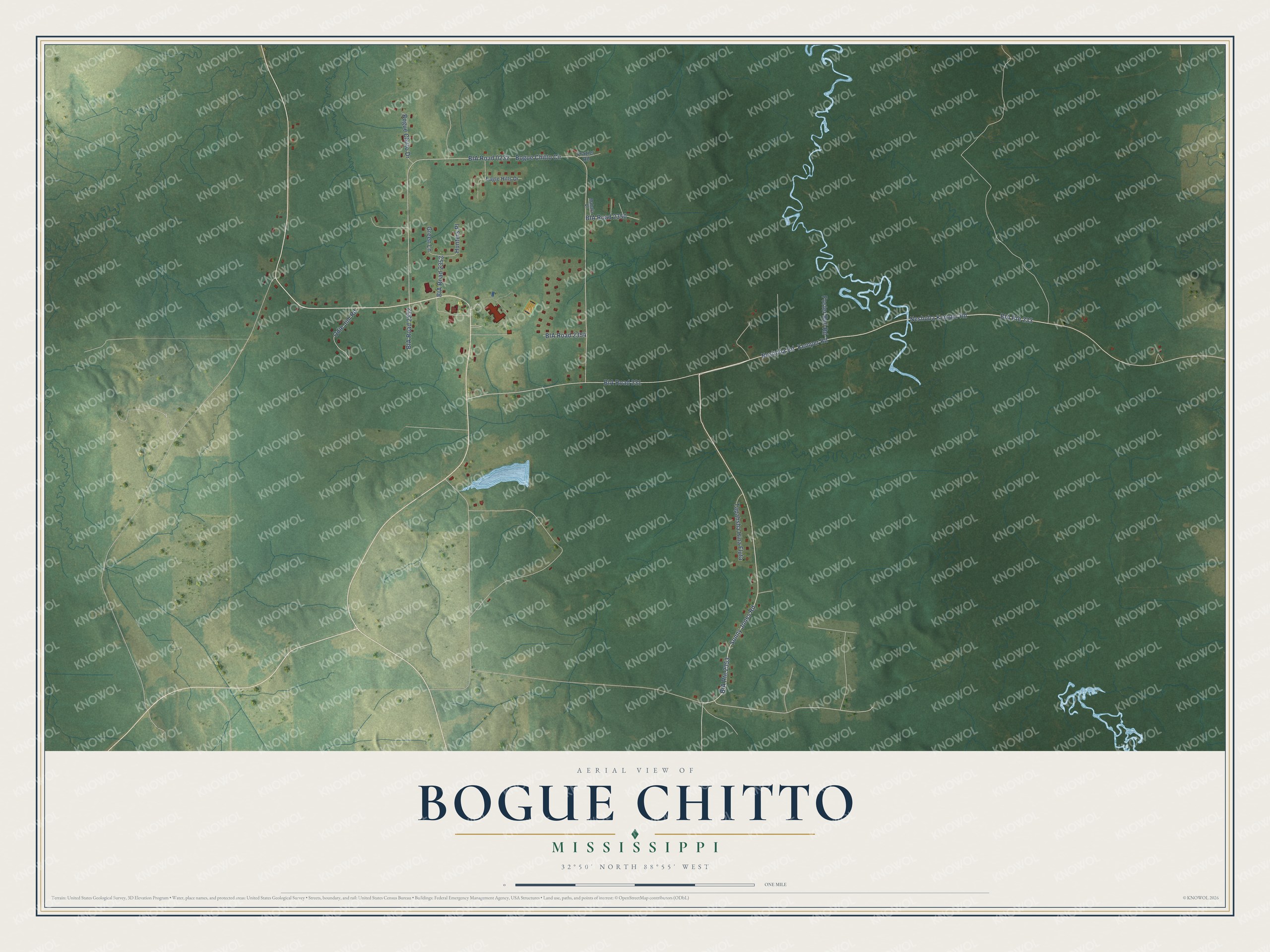
This beautifully detailed map of Bogue Chitto, Mississippi was created in 2026 using aerial imagery combined with modern topographical, census, street and landmark data. It's a modern aerial view of Bogue Chitto in Neshoba County, Mississippi, that combines modern data with a vintage aesthetic. The roads feature printed names, and if you look closely you can find your exact house accurately shown in its correct location.
Explore an aerial view of Bogue Chitto, Mississippi
On this map you'll find Neshoba Kemper Road, Sonny Jones Road, Kemper Road, BIA Road 2353, Neshoba Road, BIA Road 0232, Bogue Chitto Circle, BIA Road 231, BIA Road 2352, Hunters Place, Tapahsha Hina Fluta, Odie Jim Road, and more. Each red shape is a building, so zoom in on the preview and look for yours.
Here is a piece of Bogue Chitto history. Bogue Chitto is one of the eight officially recognized communities of the Mississippi Band of Choctaw Indians, and its name is Choctaw for Big Creek. The Tribe's fire department, founded in 1991, keeps its second station in the Bogue Chitto community. That's from the Mississippi Band of Choctaw Indians.
Bogue Chitto is a community in Neshoba County. The Census Bureau counted 864 people here in 2020.
Looking for a different Bogue Chitto? Mississippi also has Bogue Chitto in Lincoln County.
Take a closer look at the Bogue Chitto map
Names on this map
These names are printed on this map.
Streets and roads: Neshoba Kemper Road, Sonny Jones Road, BIA Route 2353, Kemper Road, BIA Road 2353, Neshoba Road, BIA Route 233, BIA Road 0232, Bogue Chitto Circle, BIA Road 231, BIA Road 2352, Hunters Place.
More street names, A to Z
BIA Road 2350, BIA Road 2354, Bogue Chitto Drive, Eagle Hills Drive, Foster Bell Road, Frazier Road, Green Lane, Mahala Drive, Odie Jim Road, Tapahsha Hina Fluta.
See it on a wall
The Bogue Chitto, Neshoba County map as a framed print. Swipe for more.


Created by KNOWOL in 2026. The buildings are small red shapes, the roads carry their printed names, and shaded relief shows the shape of the land. The title panel reads "AERIAL VIEW OF BOGUE CHITTO, MISSISSIPPI" with 32°50' NORTH 88°55' WEST.
It suits a den, a classroom or a front hall, and it makes a gift for anyone with Bogue Chitto roots. Open the preview and find the block you know. See sizes and frames for the Bogue Chitto, Neshoba County map.