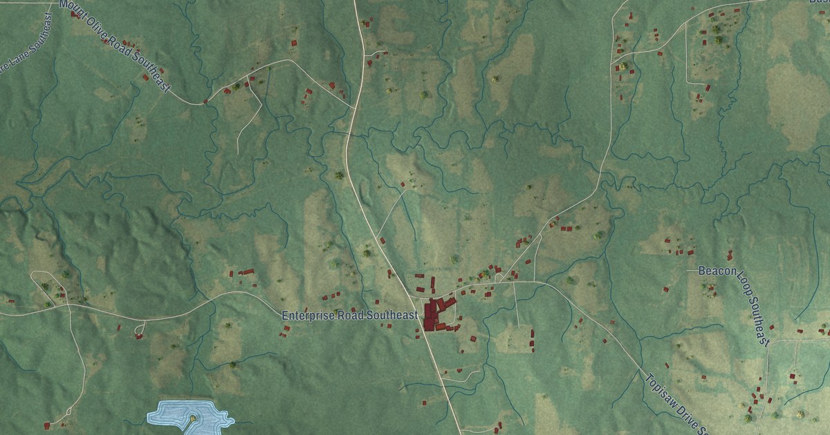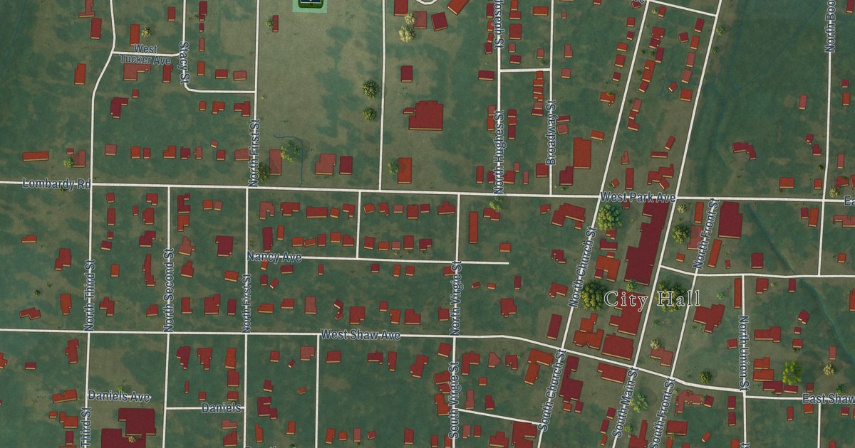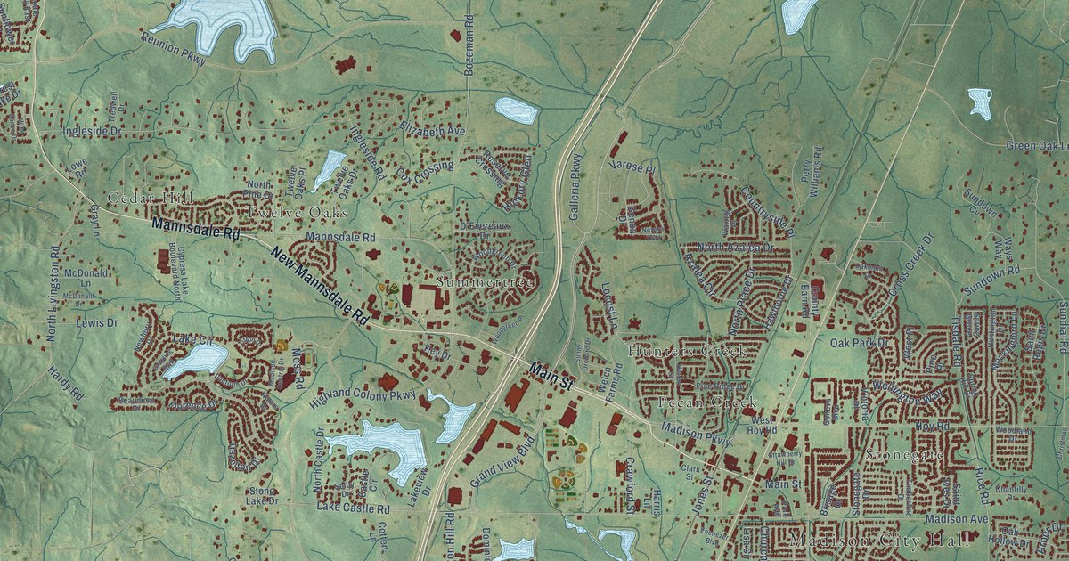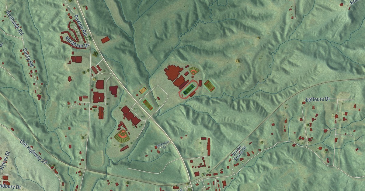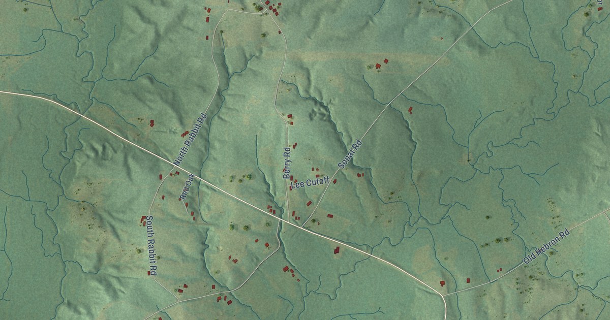
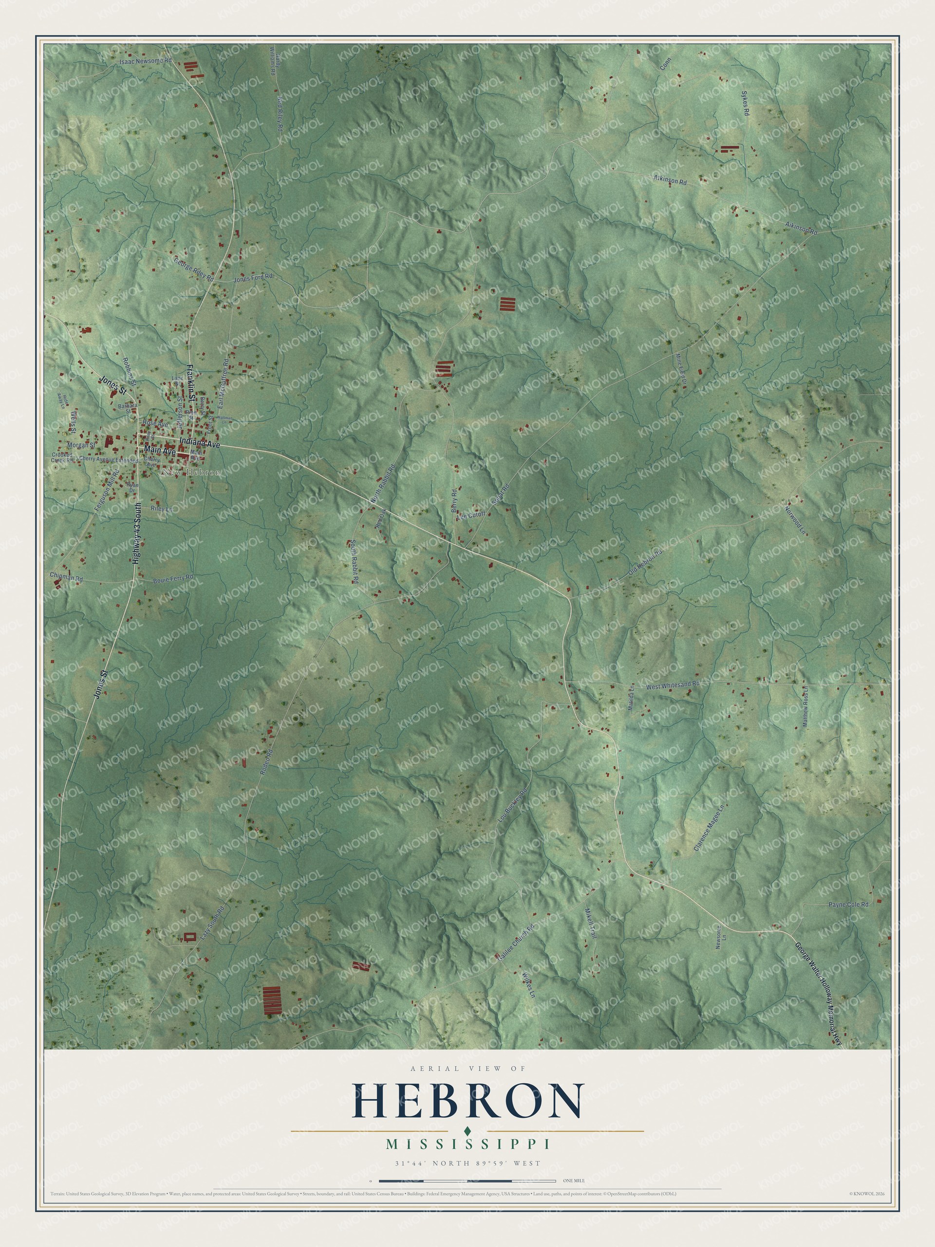
This beautifully detailed map of Hebron, Mississippi was created in 2026 using aerial imagery combined with modern topographical, census, street and landmark data. It’s a one-of-a-kind view of Hebron that combines accurate data with a vintage aesthetic. The map shows every building in its true location, many of the roads carry their names, and the shaded topographic relief shows the shape of the land.
Explore an aerial view of Hebron, Mississippi
On the map you’ll find New Hebron, along with Main Avenue, Indiana Avenue, Jones Street, Highway 43 South, Franklin Street, Sykes Road, Jones Ford Road, Wells Street, Earl McGuffree Road, Sonat Road, Rodeo Road, and more. If you look closely you can even find your house accurately drawn in its correct location. Zoom in on the preview to look for yours.
Did You Know?
From Internet Archive: "In Colchester and in Hebron, in Sandisfleld and Great Barrington, in Green River and Genesee, he had tried his luck, and finally settled in Warsaw."
Hebron is a community in Jefferson Davis County.
Take a closer look at the Hebron map
Names on this map
These names are printed on this map.
Places: New Hebron.
Streets and roads: Main Avenue, Indiana Avenue, Jones Street, Highway 43 South, Franklin Street, Sykes Road, Jones Ford Road, Wells Street, Earl McGuffree Road, Sonat Road, Rodeo Road, Galilee Church Road.
More street names, A to Z
Aikinson Road, Atkinson Road, Barbara Street, Berry Road, Berry Street, Bouie Ferry Road, Cherry Avenue, Cherry Avenue Extended, Chipman Road, Clarence Magee Lane, Conn, Crooked Creek Road, Ferguson Mill Road, Front Street, George Riley Road, George Walter Holloway Memorial Highway, Hardy Williams Road, Hide Away Lane, Isaac Newsome Road, Jefferson Street, Lane Street, Lazy South Road, Lee Cutoff, Lou Buckley Road, Matilda Lane, Matthew Ross Lane, Mikell Trail, Mine Field Drive, Morgan Street, Ned Riley Road, Newsome Lane, North Rabbit Road, Norwood Lane, Old Hebron Road, Payne Cole Road, Pine Street, Red Oak, Riley Lane, Riley Street, Robbins Street, Rose Avenue, Ryan Drive, South Rabbit Road, Waltman Lane, West Whitesand Road, Wilkes Lane.
See it on a wall
The Hebron map as a framed print. Swipe for more.


This beautifully detailed map of Hebron makes an attractive addition to your office, library, or den, and it can even be used to teach children the geography and history of the area. It also makes a great gift for someone who left Hebron and still calls it home. When you’re done exploring, click here to get your copy of the Hebron map.