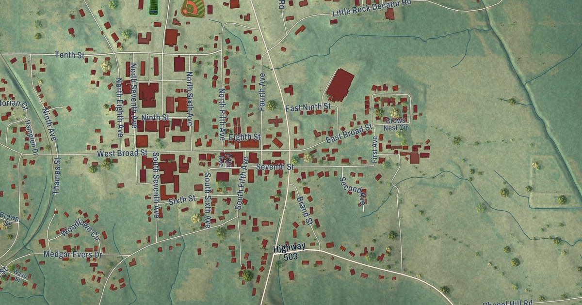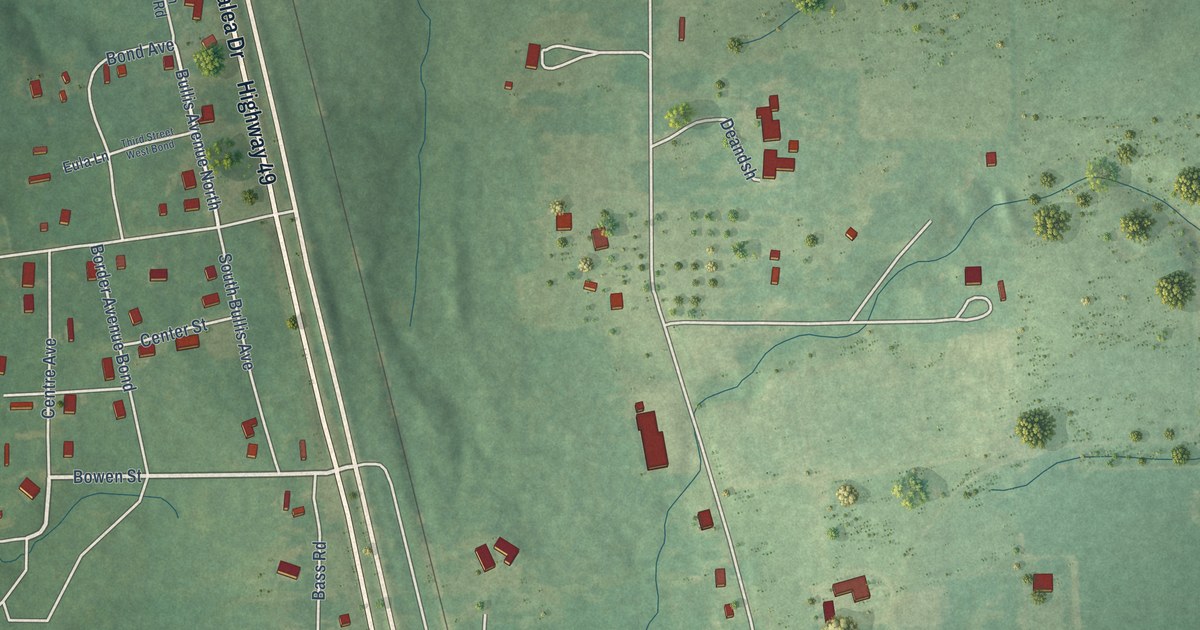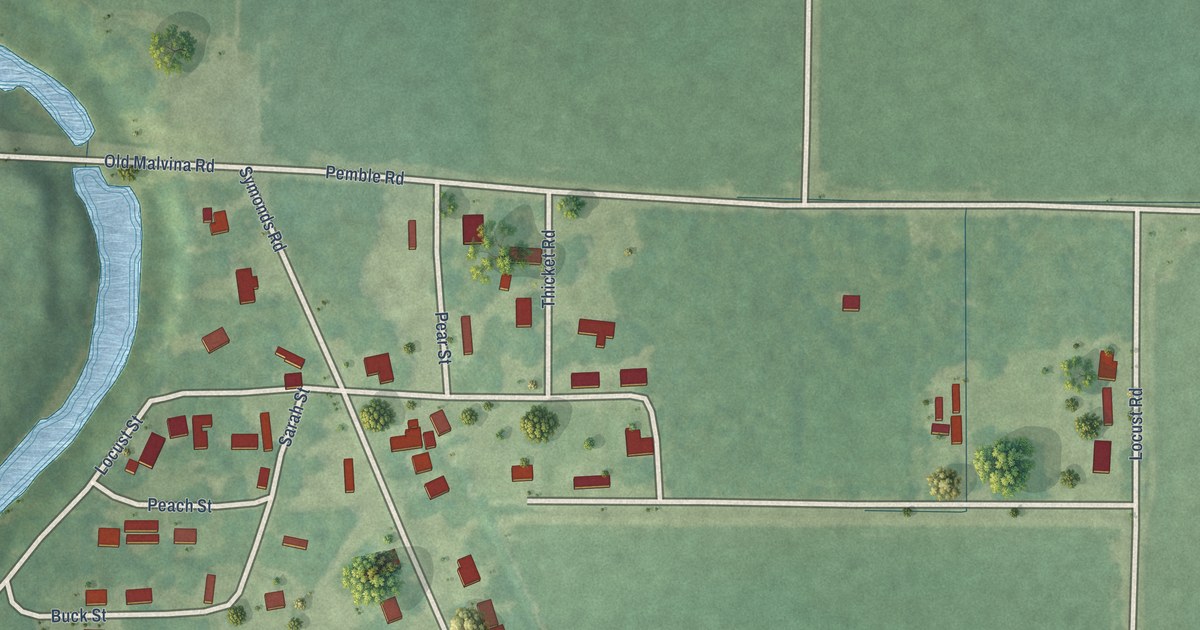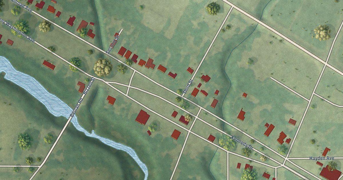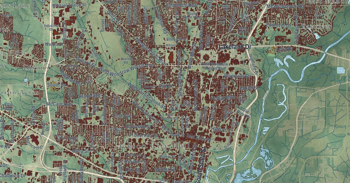
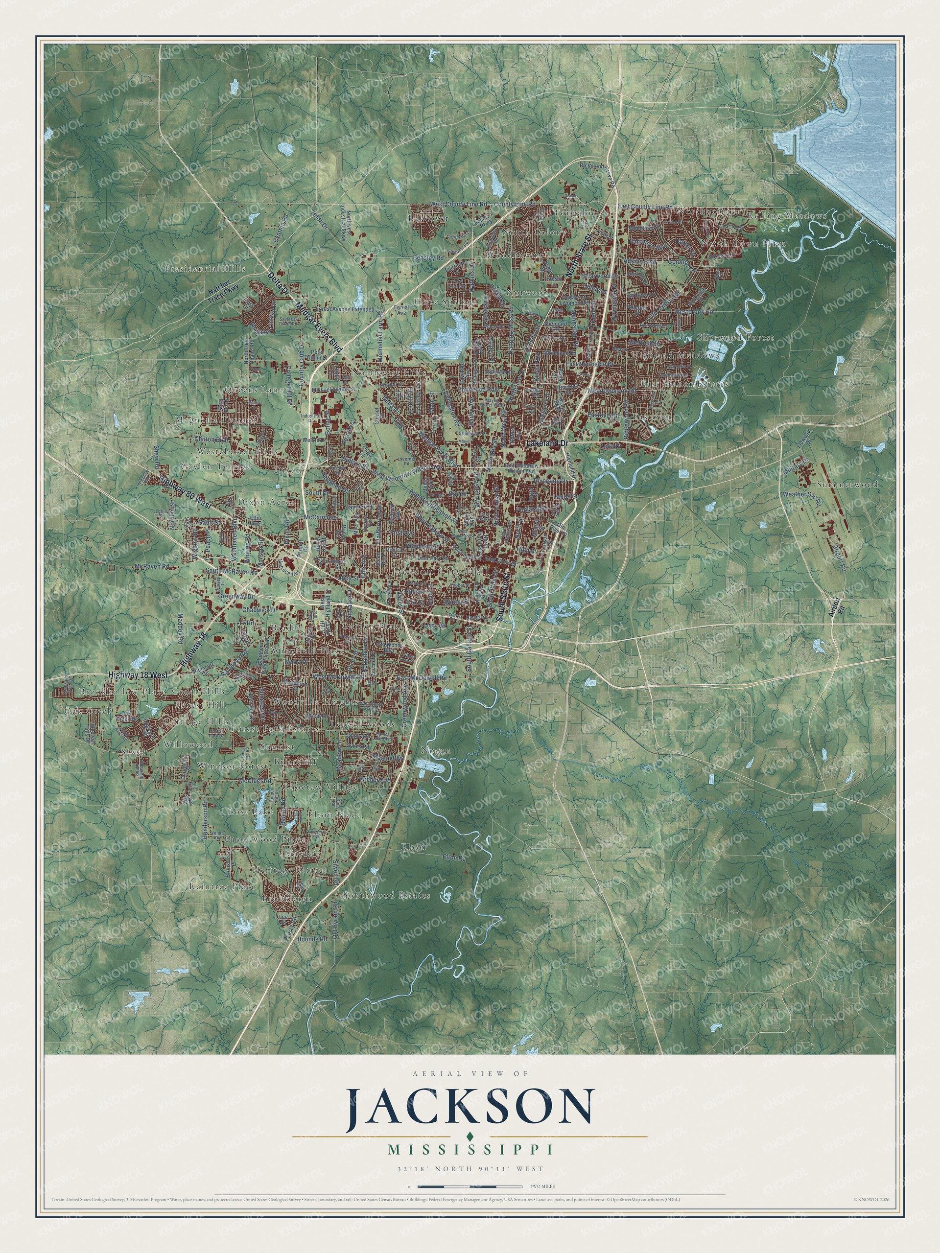
This beautifully detailed map of Jackson, Mississippi was created in 2026 using aerial imagery combined with modern topographical, census, street and landmark data. It’s a one-of-a-kind view of Jackson that combines accurate data with a vintage aesthetic. The map shows every building in its true location, many of the roads carry their names, and the shaded topographic relief shows the shape of the land.
Explore an aerial view of Jackson, Mississippi
On the map you’ll find Jackson City Hall, Bradie, Briarcliff, Brookhollow Place, Brookleigh, Brookwood Pines, Carriage Hills, Cedar Hills, Choctaw Village, Dixon, Dixon Acres, East Manor Estates, and more. If you look closely you can even find your house accurately drawn in its correct location. Zoom in on the preview to look for yours.
Did you know this piece of Jackson, Mississippi history?
From Mississippiencyclopedia.org: "The state government began meeting in Jackson in 1822 in a small brick building that served as the state’s first capitol."
Take a closer look at the Jackson map
Street and place names on the Jackson, Mississippi map
These names are printed on the map of Jackson, Mississippi.
Places: Jackson City Hall, Bradie, Briarcliff, Brookhollow Place, Brookleigh, Brookwood Pines, Carriage Hills, Cedar Hills, Choctaw Village, Dixon, Dixon Acres, East Manor Estates, Eastover, Elton, Elton Place, Forest Hill, Forest Park Estates, Garden Park, Gaylyn Terrace, Heritage Estates, Highland Meadows, Hope Springs, Lakeover, Leavell woods, Lost Lake, Magnolia Terrace, Mayfair, Nogan, North Colony, North Town Plaza, Northpointe, Northwest Hills, Norwood, Oak Creek, Presidential Hills, Queens Lane, Raintree Place, Rolling Meadows, Sherwood Forest, Siwel, Southwood Estates, Summerwood, Sunkist, Tougaloo, Westchester Hills, Willowood, Windsor Forest, Wingfield Place, Woodhaven and Woodville Heights.
Streets and roads: North State Street, Highway 18, Medgar Evers Boulevard, Highway 80 West, Highway 18 West, Lakeland Drive, South State Street, Delta Drive, Raymond Road, West County Line Road, Old Canton Road, County Line Road.
More street names, A to Z
Abraham Lincoln Drive, Access Road, Adkins Boulevard, Airport Road, Albermarle Road, Alta Woods Boulevard, Angle Drive, Archer Avenue, Azalea Drive, Bailey Avenue, Barnett Drive, Barrier Place, Baxter Drive, Beasley Road, Beatty Street, Belvedere Drive, Bienville Drive, Bishop Avenue, Boling Street, Bounds Road, Branch Street, Brecon Drive, Briarfield Road, Briarwood Drive, Bristol Boulevard, Broadway Boulevard, Brook Drive, Brookwood Place, Buckley Drive, Bullard Street, Burch Street, Burton Street, California Avenue, Camero Drive, Capri Circle, Casteel Drive, Castle Hill Drive, Causey Drive, Cedarhurst Drive, Cedar Lane, Cedars of Lebanon Road, Central Street, Chadwick Drive, Claiborne Avenue, Claude Drive, Clinton Boulevard, College Hill Drive, Colonial Circle, Coronet Place, Country Club Drive, Cox Street, Crane Boulevard, Culley Drive, Cynthia Road, Dalton Street, Daniel Lake Boulevard, Daniels Street, Deer Park Street, Dees Road, Dewey Street, Dixon Road, Dogwood Drive, Dogwood Trail, Dona Avenue, Duranville Street, Eagle Avenue, East Amite Street, East Bell Street, East County Line Road, East McDowell Road, East Northside Drive, Eastover Drive, East Woodrow Wilson Avenue, Echelon Parkway, Eddy Street, Edwards Avenue, Elfin Avenue, Ellis Avenue, El Paso Street, Elraine Boulevard, Elton Road, Eminence Row, Enochs Street, Erie Street, Fairfield Drive, First Avenue, Floral Drive, Flowood Drive, Ford Avenue, Forest Avenue, Forest Avenue Extended, Forest Hill Road, Forest Park Drive, Fredrica Avenue, Gaites Lane, Gault Street, Gibralter Drive, Greenway Drive, Greenwood Avenue, Greymont Avenue, Grove Circle, Gunda Street, Hanging Moss Road, Harley Street, Hattiesburg Street, Hawthorne Drive, Hazel Street, Henderson Road, Highland Drive, High Street, Hilda Drive, Hill Avenue, Hooker Street, Houston Avenue, Huntview Drive, Industrial Drive, Jayne Avenue, Keele Street, Key Street, Kings Highway, Kirkley Drive, Kristen Drive, Lakeover Road, Lake Road, Lakeshore Road, Larson Street, Laurel Street, Lavernet Road, Lea Circle, Lee Drive, Lee Street, Lelia Drive, Liberty Hill Road, Linda Lane, Linde Road, Lindsey Drive, Livingston Lane, Livingston Road, Loflin Street, Lynwood Drive, Maddox Road, Main Street, Manhattan Road, Maria Drive, Market Street, Mason Boulevard, Mattox Street, Mayes Street West, McCain Avenue, McCluer Road, McRaven Road, McWillie Circle, McWillie Drive, Meadowbrook Road, Meadow Lane, Methodist Farm Road, Metrocenter, Michael Avalon Street, Military Drive, Mobile Avenue, Monaco Street, Monroe Street, Morson Road, Myer Avenue, Natchez Trace Parkway, Newport Street, Norman Street, North Congress Street, North Farish Street, North Flag Chapel Road, North Lamar Street, North Mill Street, North Siwell Road, North Street, Northtown Drive, Northview Drive, Northwest Industrial Parkway, North West Street, Oak Creek Drive, Oferrell Avenue, Old Byram Road, Old River Place, Orleans Street, Outer Circle, Oxford Avenue, Palmyra Street, Peach Place, Pecan Boulevard, Peter Quinn Drive, Plantation Boulevard, Pleasant Avenue, Plummer Circle, Poplar Boulevard, Presto Lane, Primos Avenue, Prosperity Street, Rainey Road, Randall Street, Rand Street, Reddoch Drive, Red Oak Drive, Richmond Grove Road, Ridgewood Road, Rita Drive, River Road, Riverside Drive, Riverwood Drive, Robinhood Road, Robinson Road Extended, Robinson Street, Romany Drive, Rondo Street, Rosslyn Avenue, Royal Oak Drive, Saint Andrews Drive, Saint Ann Street, Saratoga Drive, Sayles & Dixon Road, Sedgwick Drive, Sewanee Drive, Shaw Road, Sheffield Drive, Sheppard Road, Shirley Avenue, Siwell Road, Skyline Drive, South Drive, South Gallatin Street, South McRaven Road, South Roach Street, South Siwell Road, South West Street, Southwood Road, Stillwood Drive, Stonewall Street, Suncrest Drive, Sunny Lane Drive, Sunset Drive, Swan Lake Drive, Sykes Road, Tanner Hill Drive, Tara Road, Taylor Avenue, Terry Road, Thousand Oaks Drive, Trace Drive, Troy Avenue, Tv Road, Utica Street, Valencia Street, Valley North Boulevard, Valley Street, Velma Drive, Village Drive, Vine Street, Warrior Trail, Waterford Drive, Watkins Drive, Wayneland Drive, Weather Svc Road, Welota Drive, West Amite Street, Westbrook Road, West Capitol Street, Western Hills Drive, West Fortification Street, Westhaven Boulevard, West Highland Drive, West Hill Drive, West McDowell Road, West Monument Street, West Santa Clair Street, West Woodrow Wilson Avenue, Whiting Road, Wiggins Road, Wild Valley Drive, Windsor Drive, Winter Street, Witsell Road, Woodburn Street, Wood Dale Drive, Woodfield Drive, Wood Street, Woody Drive.
See the Jackson, Mississippi map on a wall
The Jackson map as an 18 x 24 inch print in a black frame.

This beautifully detailed map of Jackson makes an attractive addition to your office, library, or den, and it can even be used to teach children the geography and history of the area. It also makes a great gift for someone who left Jackson and still calls it home. When you’re done exploring, click here to get your copy of the Jackson map.