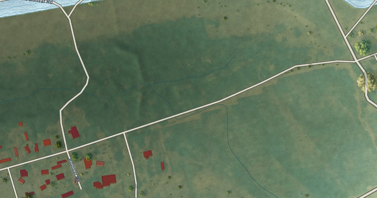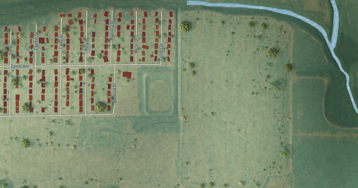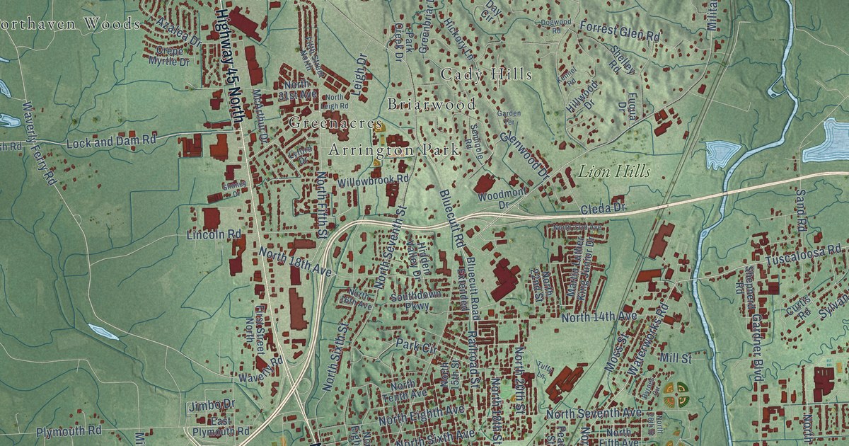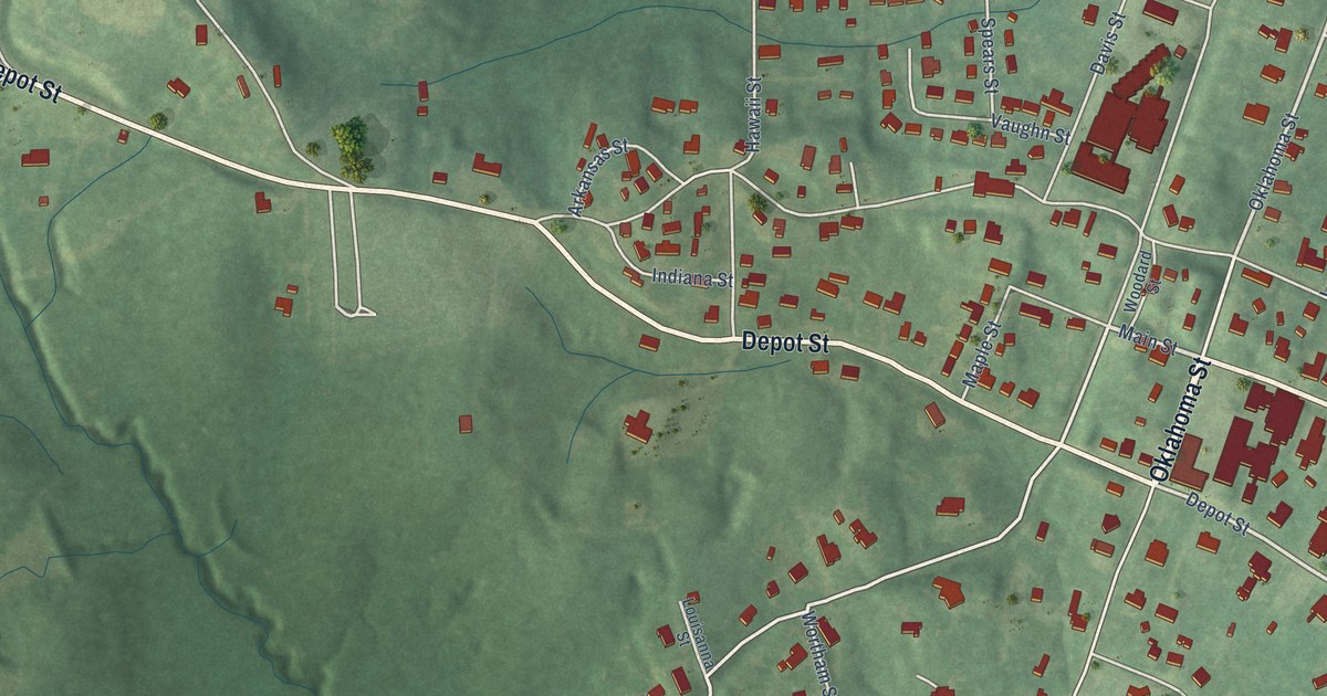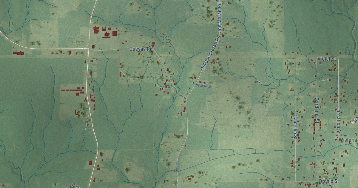
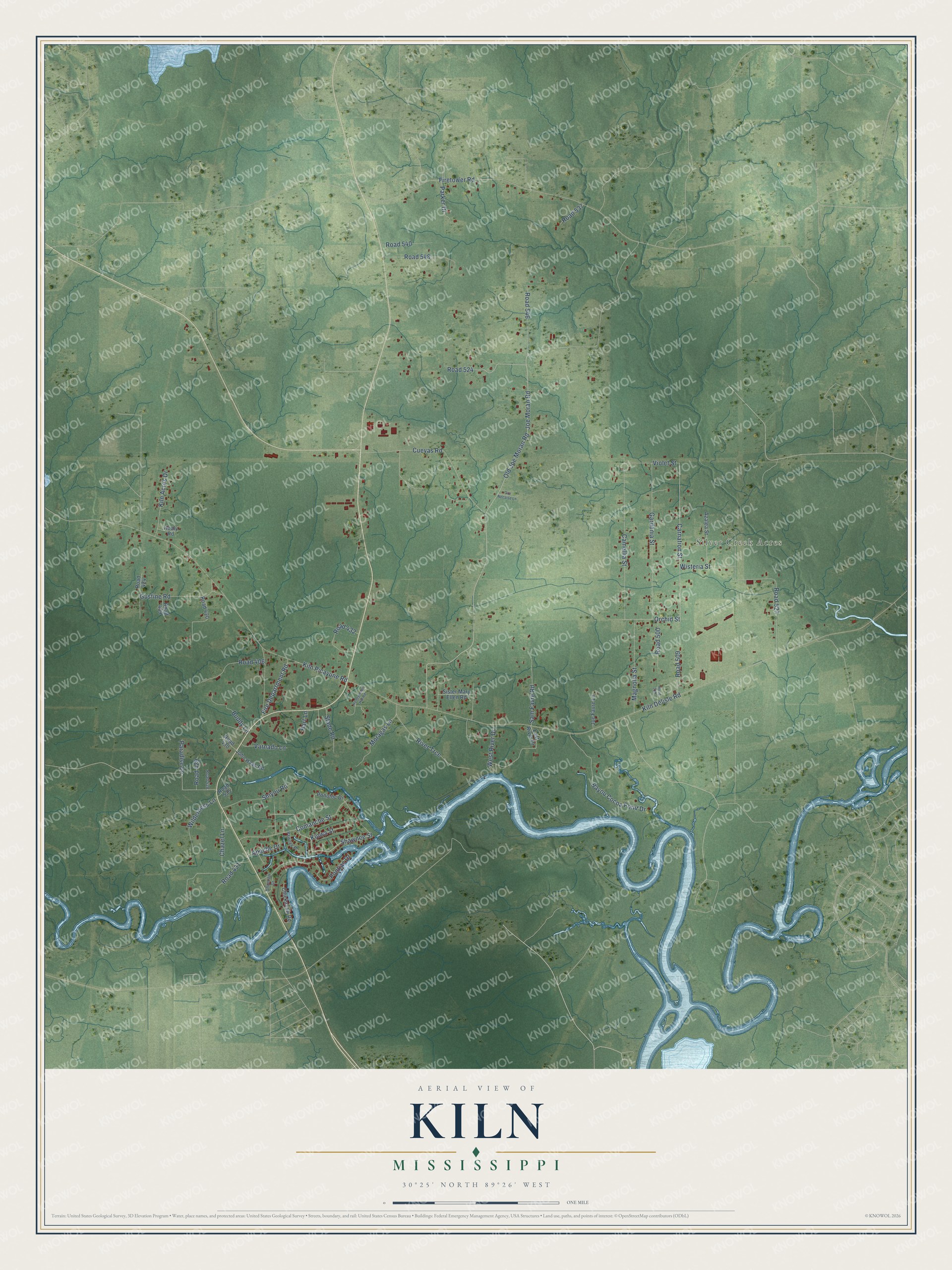
This beautifully detailed map of Kiln, Mississippi was created in 2026 using aerial imagery combined with modern topographical, census, street and landmark data. It's a modern aerial view of Kiln in Hancock County, Mississippi, that combines modern data with a vintage aesthetic. The roads feature printed names, and if you look closely you can find your exact house accurately shown in its correct location.
Explore an aerial view of Kiln, Mississippi
On this map you'll find Silver Creek Acres, Shawnee Street, Fire Department Road, Carnation Street, Joe Moran Road, Orchid Street, Old Joe Moran Road, Kiln Delisle Road, Kiln Picayune Road, Firetower Road, Road 527, Camellia Street, and more. Each red shape is a building, so zoom in on the preview and look for yours.
Every town has a first chapter, and Kiln is no exception. Kiln was named for the immense kilns where its first French settlers burned charcoal for a living. Sawmills later took over, and in 1912, when a large eastern company bought the mill interests, Kiln grew from a backwoods community into a town with a high school, a picture show, a 50-room hotel and rows of neat mill houses. The mill closed in 1930, and the lumber boom at Kiln came to an end. That's from the Federal Writers Project.
Kiln is a community in Hancock County. The Census Bureau counted 2,224 people here in 2020.
Take a closer look at the Kiln map
Names on this map
These names are printed on this map.
Places: Silver Creek Acres.
Streets and roads: Shawnee Street, Fire Department Road, Carnation Street, Joe Moran Road, Orchid Street, Old Joe Moran Road, Kiln Delisle Road, Kiln Picayune Road, Firetower Road, Road 527, Camellia Street, Cuevas Road.
More street names, A to Z
Apache Drive, Azalea Street, Bayou Cocoa Point Drive, Buddy Lane, Chazel Lane, Chickasaw Road, Choctaw Drive, Comanche Street, East River Drive, Gardenia Street, Gustine Road, Hart Lane, Healy Road, Honeymoon Hill Road, Joe Favre Lane, John Haas Road, Kiln Acres Drive, Kiowa Street, Magnolia Street, Moragas Lane, Ora Necaise Lane, Paradise Lane, Parker Drive, Pawnee Place, Ponotoc Drive, Pontiac Drive, River Trce, Road 406, Road 409, Road 420, Road 424, Road 428, Road 429, Road 430, Road 431, Road 432, Road 500, Road 509, Road 510, Road 524, Road 535, Road 537, Road 540, Road 546, Road 548, Sam Favre Road, Shiyou Road, Sister Mary Ellen Road, Slade Road, Varnado Lane, Violet Street, West River Drive, Wilderness Lane, Wisteria Street.
See it on a wall
The Kiln map as a framed print. Swipe for more.


Created by KNOWOL in 2026. The buildings are small red shapes, the roads carry their printed names, and shaded relief shows the shape of the land. The title panel reads "AERIAL VIEW OF KILN, MISSISSIPPI" with 30°25' NORTH 89°26' WEST.
Hang it in the hallway, the office or the cabin, or give it to someone who left Kiln and still calls it home. Open the preview and look for a street you know. See sizes and frames for the Kiln map.