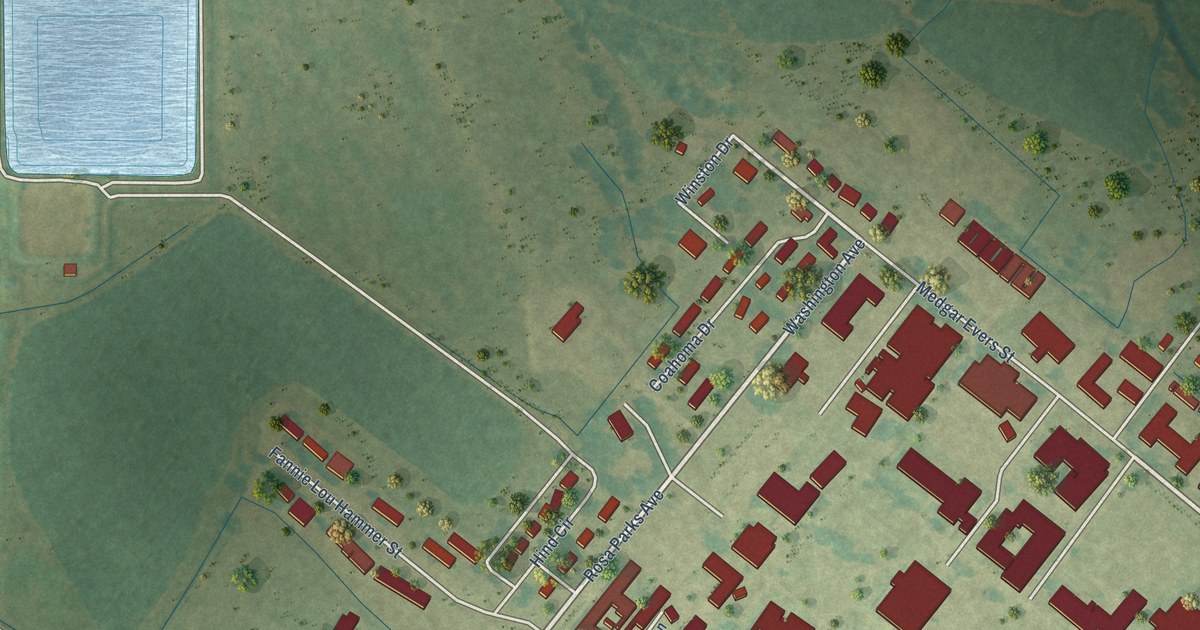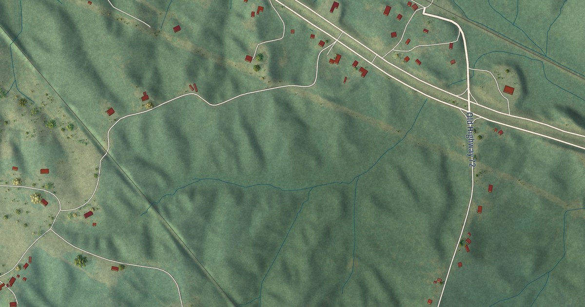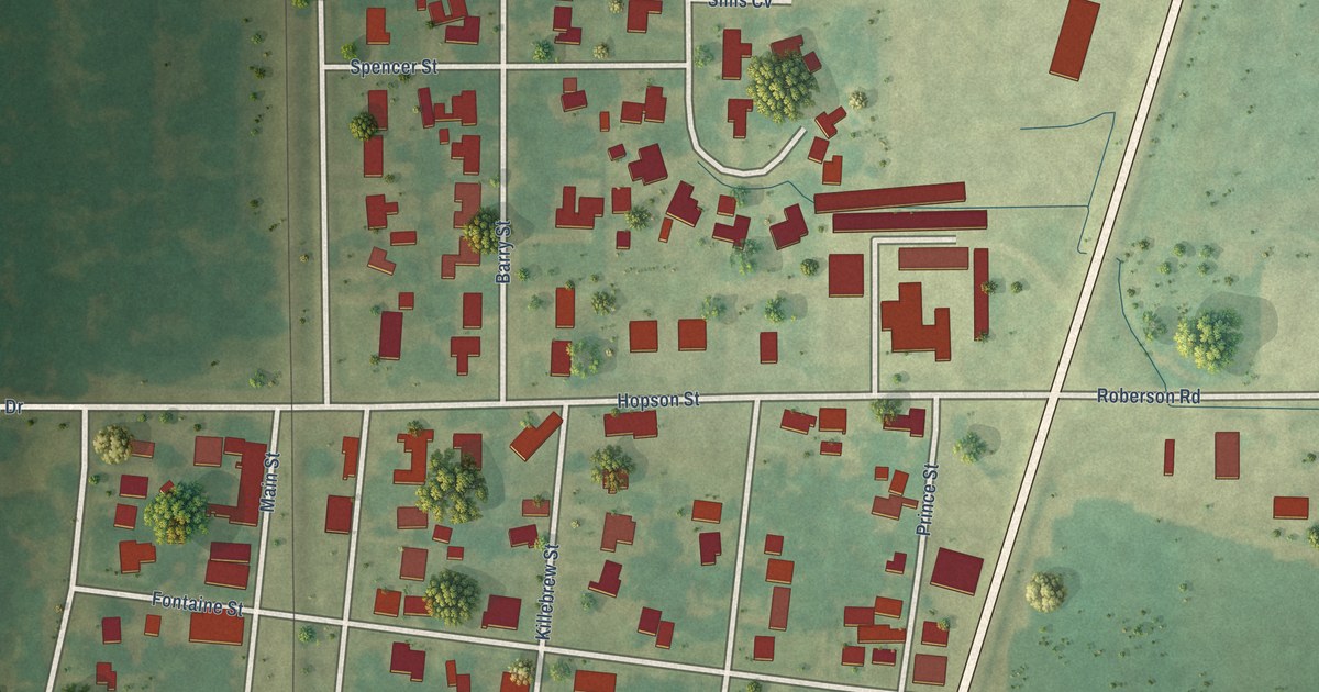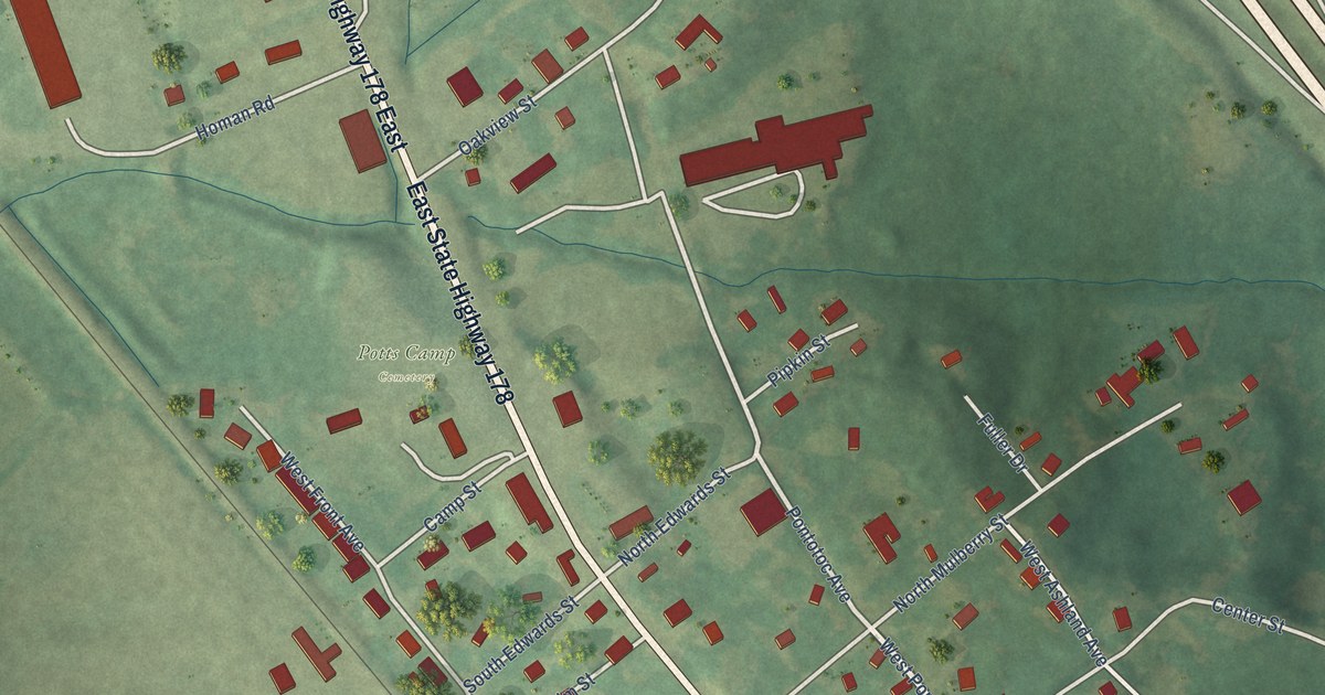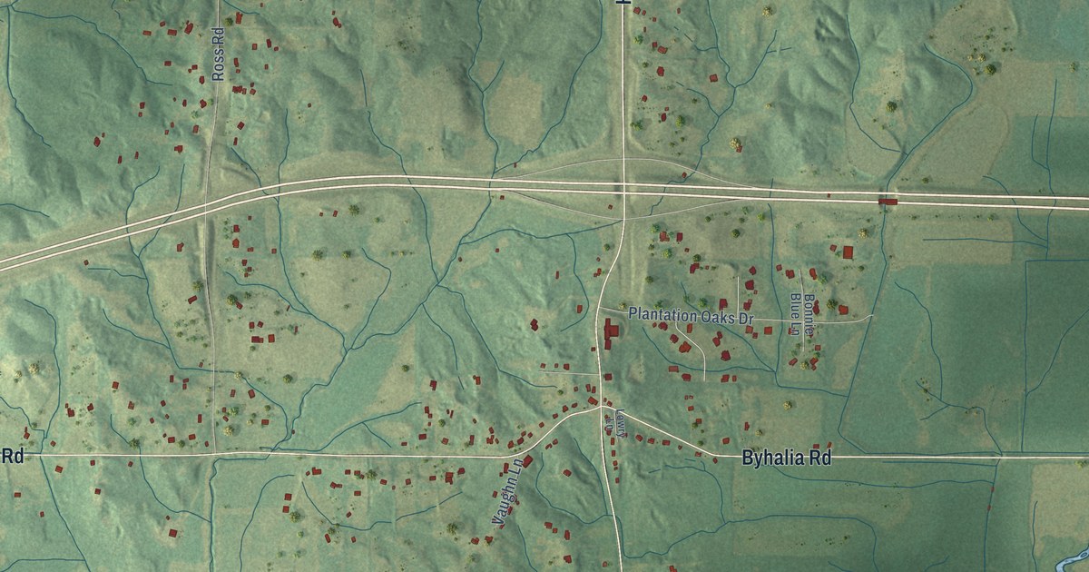
This beautifully detailed map of Lewisburg, Mississippi was created in 2026 using aerial imagery combined with modern topographical, census, street and landmark data. It’s a one-of-a-kind view of Lewisburg that combines accurate data with a vintage aesthetic. The map shows every building in its true location, many of the roads carry their names, and the shaded topographic relief shows the shape of the land.
Explore an aerial view of Lewisburg, Mississippi
On the map you’ll find Highway 305, Byhalia Road, Highway 305 South, Highway 305 North, Bobcat Lane, Shallow Creek Drive, Bethel Road, Craft Road, Vaiden Road, Ross Road, Craft Road South, Woolsey Road, and more. If you look closely you can even find your house accurately drawn in its correct location. Zoom in on the preview to look for yours.
Did You Know?
From Internet Archive: "McCormick first took a position at Lewisburg, Pennsyhania, as office clerk with the Philadelphia & Erie Railroad Company, now the Pennsyhania Railroad Company."
Lewisburg is a community in DeSoto County.
Take a closer look at the Lewisburg map
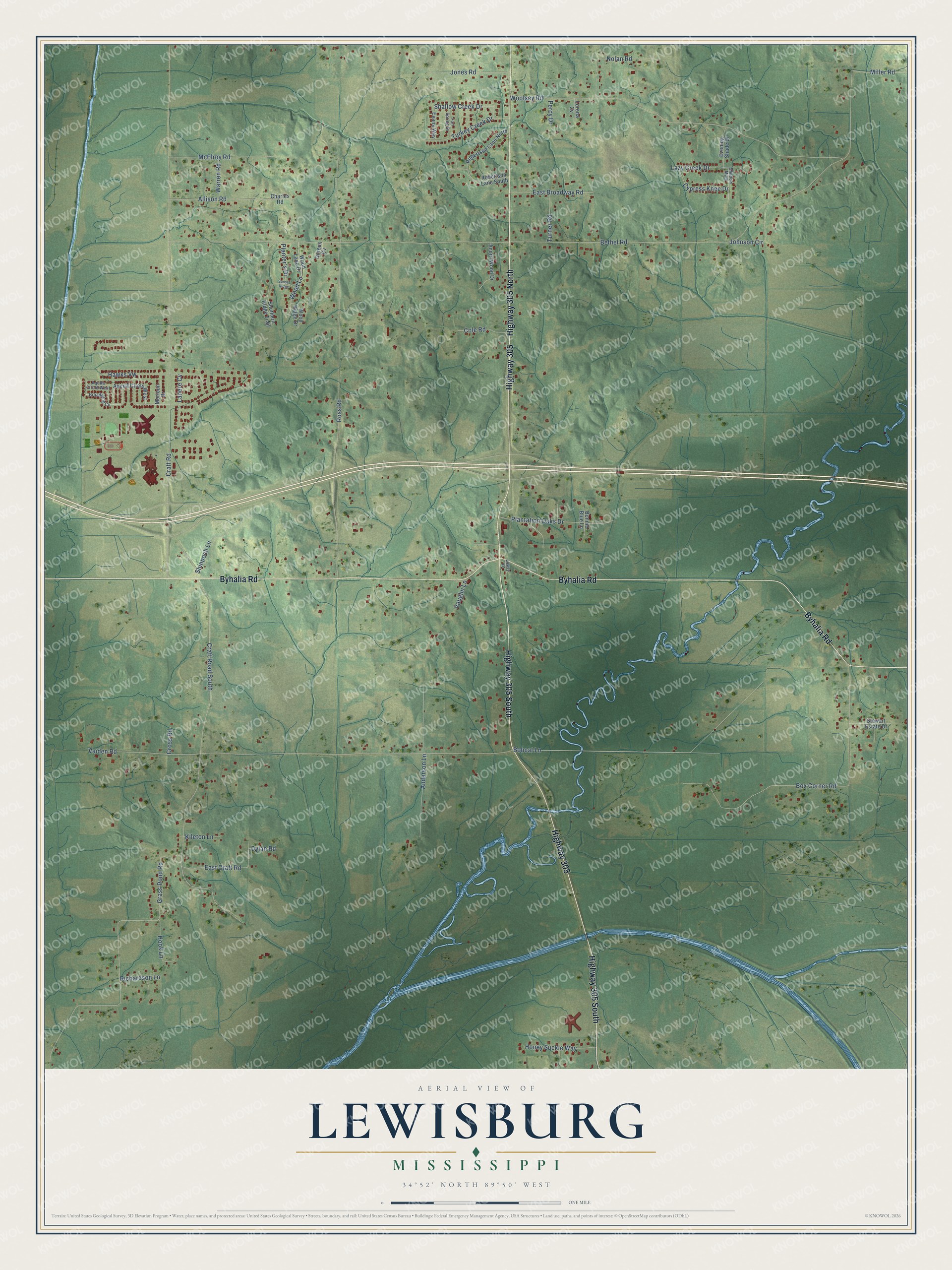
Names on this map
These names are printed on this map.
Streets and roads: Highway 305, Byhalia Road, Highway 305 South, Highway 305 North, Bobcat Lane, Shallow Creek Drive, Bethel Road, Craft Road, Vaiden Road, Ross Road, Craft Road South, Woolsey Road.
More street names, A to Z
Acorn Wood Drive, Allison Road, Anderson Lane, Aquila Circle West, Aqulla Circle West, Bonnie Blue Lane, Box Corner Road, Broadwing Circle, Charles Road, Cole Road, Cross Road, Cypress Knee Drive, Doreen Cv, Dylan Road, East Broadway Road, East Craft Road, Evans Way, Evening Shade Drive, Fall Spring Drive, Grass Pond Road, Hawks Vw, Honey Suckle Way, Hook Lane, Johnson Circle, Jones Road, Kileton Lane, Lanere Cv, Lazy Creek Drive, Lorena Cv, Lowry Lane, McElroy Road, Merloun Drive, Miller Road, Nolan Road, Percy Drive, Plantation Oaks Drive, Planter's Drive, Richardson Lane, Robertson Lane North, Robertson Lane South, Shadow Main, Shinpoch Lane, Southern Ridge Trail, Stewart Estate Drive, Sunset Ridge, Turkey Creek Drive, Turner Road, Vaughn Lane, Warren Road, Wood Lane, Wood Lane Drive, Wood Ridge Drive.
See it on a wall
The Lewisburg map as a framed print. Swipe for more.


This beautifully detailed map of Lewisburg makes an attractive addition to your office, library, or den, and it can even be used to teach children the geography and history of the area. It also makes a great gift for someone who left Lewisburg and still calls it home. When you’re done exploring, click here to get your copy of the Lewisburg map.