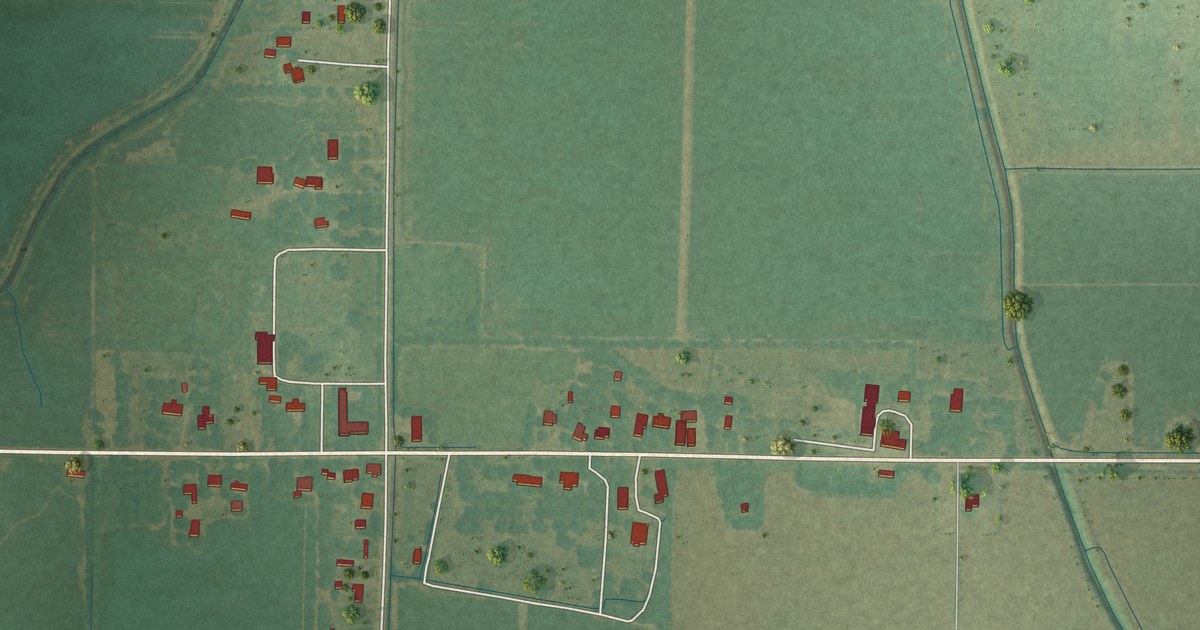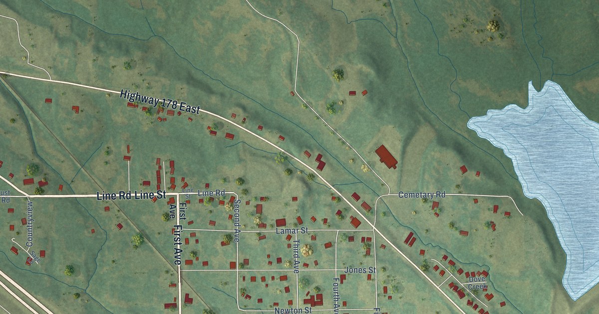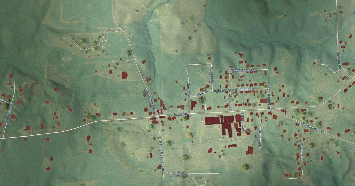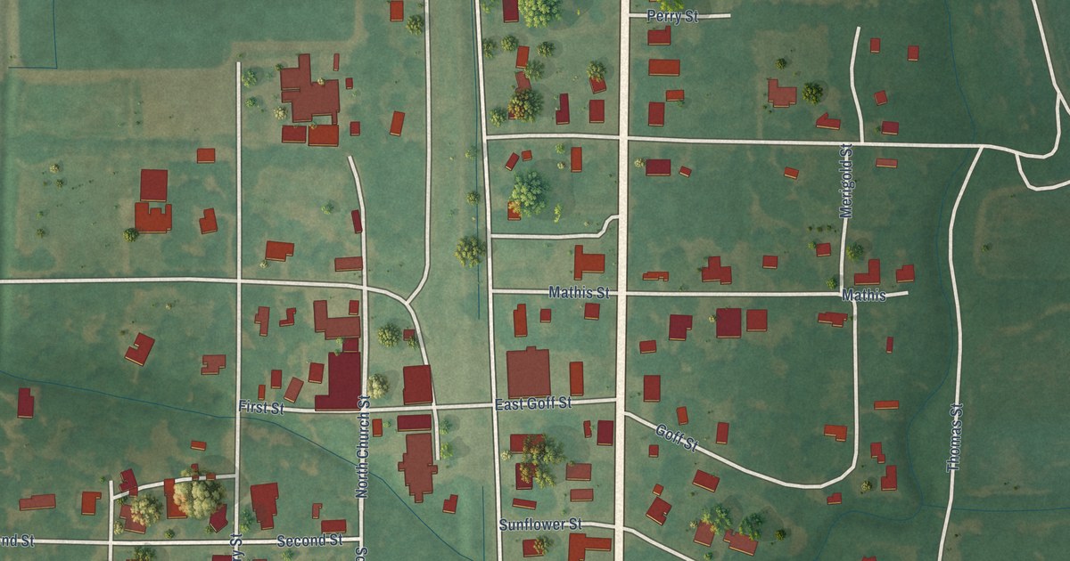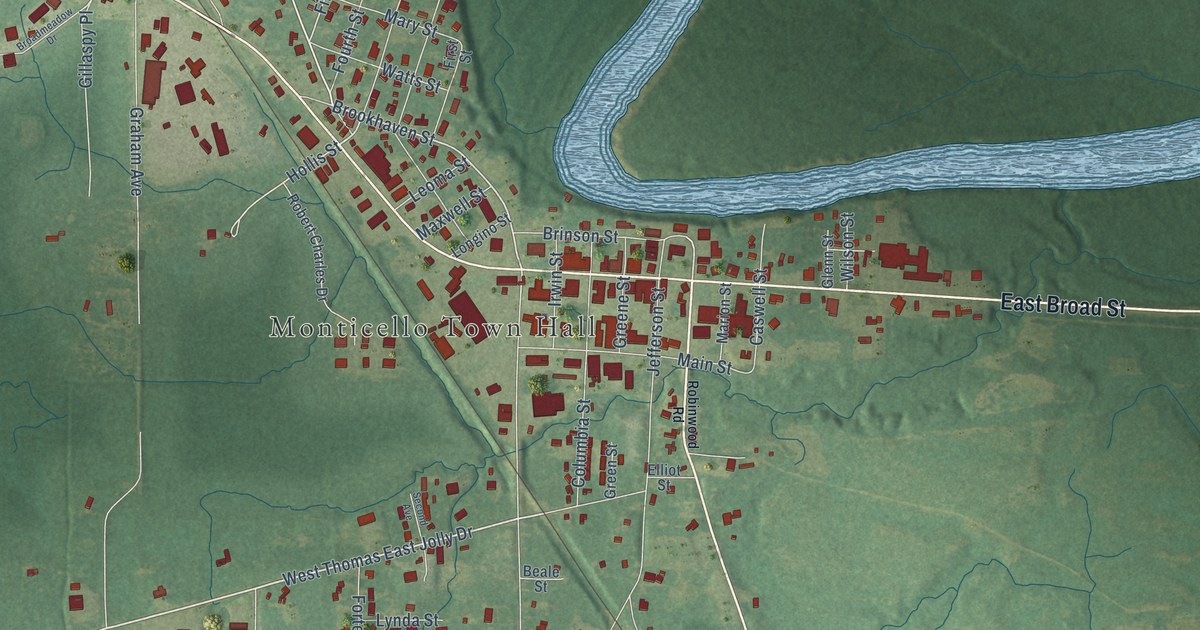
This beautifully detailed map of Monticello, Mississippi was created in 2026 using aerial imagery combined with modern topographical, census, street and landmark data. It’s a one-of-a-kind view of Monticello that combines accurate data with a vintage aesthetic. The map shows every building in its true location, many of the roads carry their names, and the shaded topographic relief shows the shape of the land.
Explore an aerial view of Monticello, Mississippi
On the map you’ll find Monticello Town Hall, Atwood Water Park, and Gillaspy Place, along with West Broad Street, East Broad Street, Robin Wood Road, West Thomas East Jolly Drive, Old Highway 27, Magnolia Drive, Brookhaven Street, Mc Lain Drive, Fifth Street, and more. If you look closely you can even find your house accurately drawn in its correct location. Zoom in on the preview to look for yours.
Did you know this piece of Monticello, Mississippi history?
Mississippi legislators once chose Monticello as the state capital, then reversed the decision just 24 hours later and placed it elsewhere. The Pearl River town also had steamboat links to New Orleans and Jackson. That’s from Dunbar Rowland’s 1907 encyclopedia of Mississippi history.
Take a closer look at the Monticello map
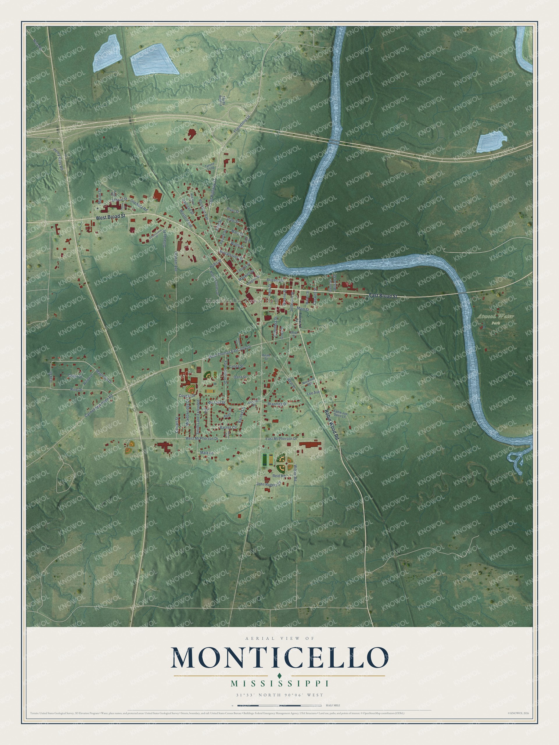
Street and place names on the Monticello, Mississippi map
These names are printed on the map of Monticello, Mississippi.
Places: Monticello Town Hall and Atwood Water Park.
Streets and roads: West Broad Street, East Broad Street, Robin Wood Road, West Thomas East Jolly Drive, Old Highway 27, Magnolia Drive, Brookhaven Street, Mc Lain Drive, Gillaspy Place, Fifth Street, Dale Street, Hollis Street.
More street names, A to Z
Allen Circle, Barnes Circle, Barnes Lane, Beale Street, Branning Drive, Brinson Street, Broadmeadow Drive, Carmel New Hope Road, Caswell Street, Cedar Drive, Church Street, Columbia Street, Cougar Drive, Cowart Street, Dana Street, East McPherson Drive, Eddie Joe Davis Lane, Elliot Street, First Street, Fortenberry Drive, Fourth Street, Friendship Lane, Glenn Street, Graham Avenue, Greene Street, Green Street, Henry Bass Road, Irwin Street, Jefferson Street, John Rogers Circle, Lee Avenue, Leoma Street, Longino Street, Lynda Street, Main Street, Marion Street, Mark Lane, Mary Street, Mason Street, Maxwell Street, McLain Drive, Meadowridge Drive, Neal Place, Nola Road, Norwood Avenue, Oak Drive, Old Nola Road, Paige Road, Paul Street, Pine Drive, Railroad Street, Reid Road, River Street, Robert Charles Drive, Robinson Lane, Robinwood Road, Rockport Avenue, School Street, Second Avenue, Shady Rest Lane, Smith Lane Extended, Stormo Avenue, Tyrone Loop, Watts Street, Western Avenue, West McPherson Drive, Willow Drive, Wilson Road, Wilson Street.
See the Monticello, Mississippi map on a wall
The Monticello map as an 18 x 24 inch print in a black frame.

This beautifully detailed map of Monticello makes an attractive addition to your office, library, or den, and it can even be used to teach children the geography and history of the area. It also makes a great gift for someone who left Monticello and still calls it home. When you’re done exploring, click here to get your copy of the Monticello map.