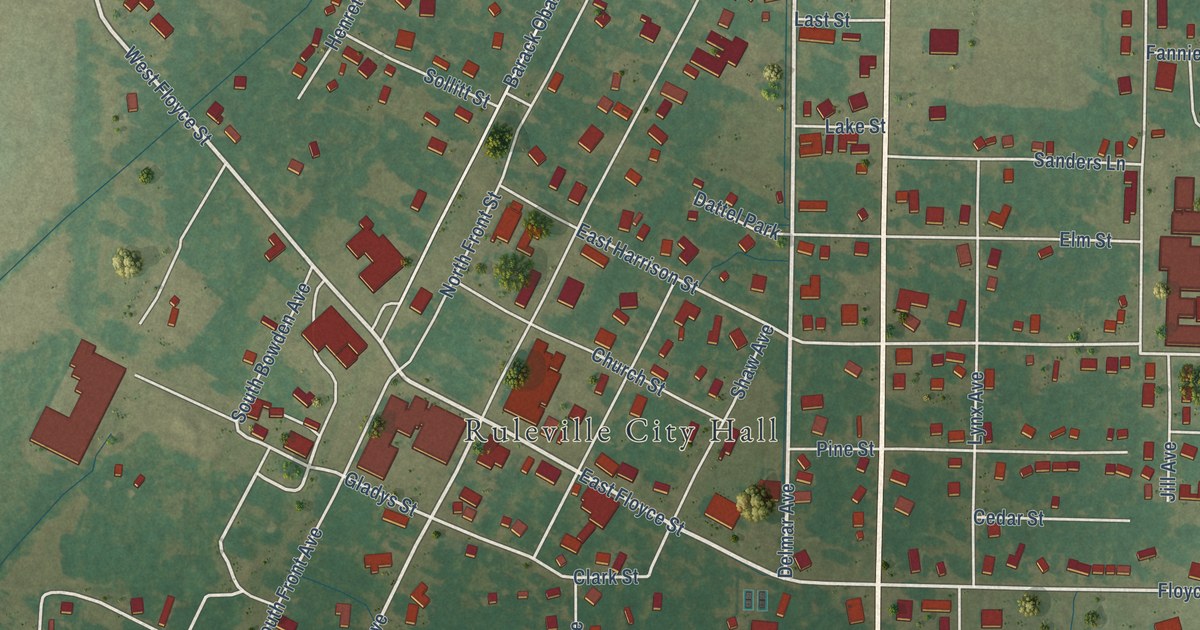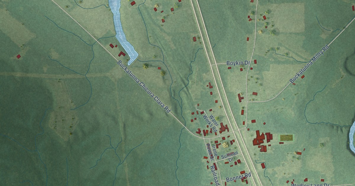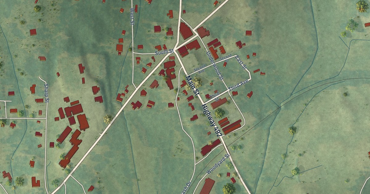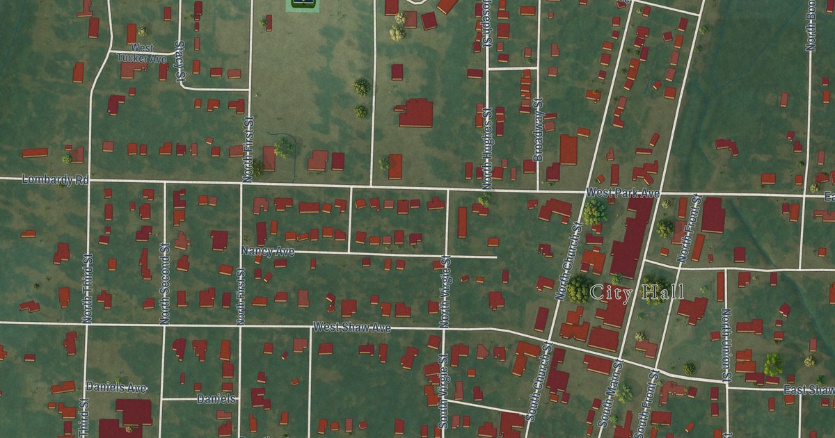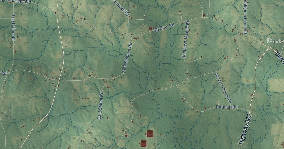
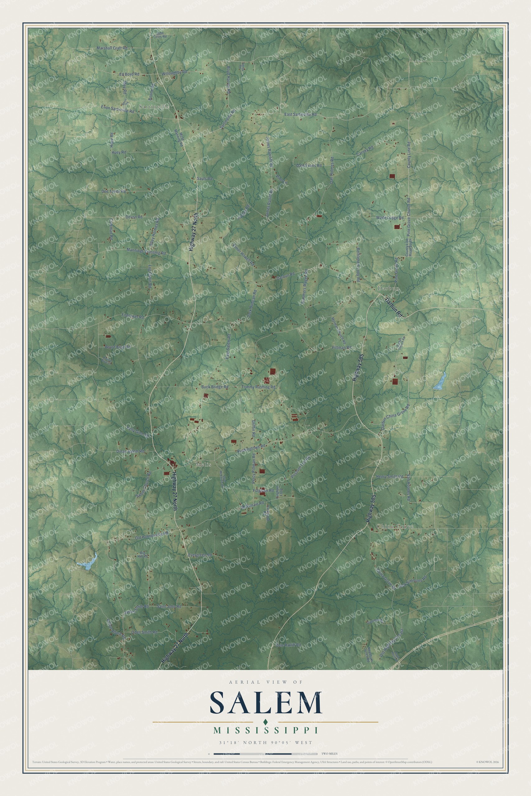
This beautifully detailed map of Salem, Mississippi was created in 2026 using aerial imagery combined with modern topographical, census, street and landmark data. It’s a one-of-a-kind view of Salem that combines accurate data with a vintage aesthetic. The map shows every building in its true location, many of the roads carry their names, and the shaded topographic relief shows the shape of the land.
Explore an aerial view of Salem, Mississippi
On the map you’ll find China Grove, Melis, Darbun, and Sartinville, along with Darbun Road, Highway 27 North, Highway 585, Sartinville Road, East Sartinville Road, Willoughby Road, Ed Boyd Road, Pine Grove Church Road, and more. If you look closely you can even find your house accurately drawn in its correct location. Zoom in on the preview to look for yours.
Did You Know?
From Internet Archive: "Pisgah, Salem, and the Hobolochitto, the last named by correspondence, through John Williams."
Salem is a community in Walthall County.
Take a closer look at the Salem map
Names on this map
These names are printed on this map.
Places: China Grove, Melis, Darbun and Sartinville.
Streets and roads: Darbun Road, Highway 27 North, Highway 585, Sartinville Road, East Sartinville Road, Willoughby Road, Ed Boyd Road, Pine Grove Church Road, County Line Road, James Ratcliff Road, Marshall Craft Road, Enon Sartinville Road.
More street names, A to Z
Admay Road, Arthur Alford Road, Atley Holmes Road, Beard Boyd Road, Bethlehem Loop Road, Big Hill Road, Boone Road, Boyd Harvey Road, Buck Bridge Road, Carney Road, China Grove Road, Coleman Road, County Line Road South, Dale Evans Road, Dan Holmes Road, Darbun China Grove Road, Darbun Church Road, Dee Toney Road, Devon Road, Dinan Salem Road, East Salem Road, Elmer Howell Road, Evergreen Road, Firetower Road, Fulgham Loop, Fulgham Road, Gartman Road, Gene McKenzie Road, Griffin Road, Henry Smith Road, Hope Road, Huey Road, Jack Duncan Road, Jack Simmons Road, James Ratliff Road, James Smith Road, John Tullis Road, Jordan Road, Kelly Ginn Road, Log Cabin Road, Mannings Crossing Road, Margie Magee Road, May Road, McKenzie Road, Morman Church Road, Mose Manning Road, Needham Jones Road, Odell Smith Road, Old Highway 24 East, Old Holmesville Road, Ozie Ratliff Road, Packwood Road, Percy Pittman Road, Pine Grove Road, Pine Lane, Pittman Road, Possum Trot Road, Ronnie Boyd Lane, Rushingtown Road, Saint John Road, Salem Church Road, Sauls Road, Short Road, Summers Magee Road, Tommy Rushing Road, Van Holmes Road, Wade Lodge Road.
See it on a wall
The Salem map as a framed print. Swipe for more.


This beautifully detailed map of Salem makes an attractive addition to your office, library, or den, and it can even be used to teach children the geography and history of the area. It also makes a great gift for anyone with Salem roots. When you’re done exploring, click here to get your copy of the Salem map.