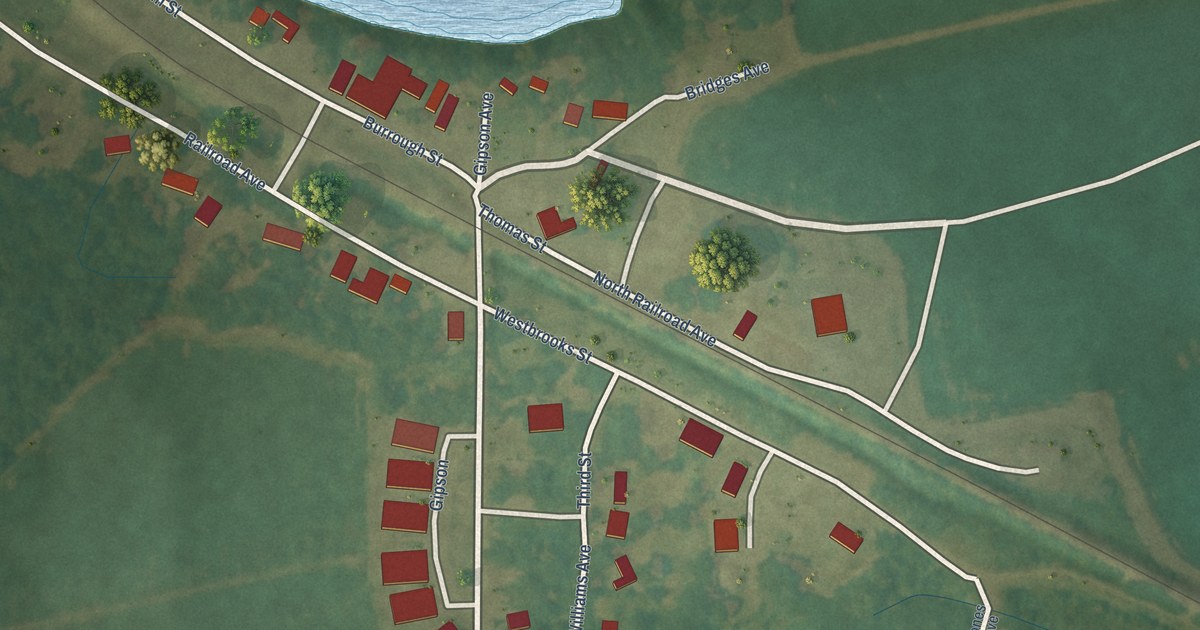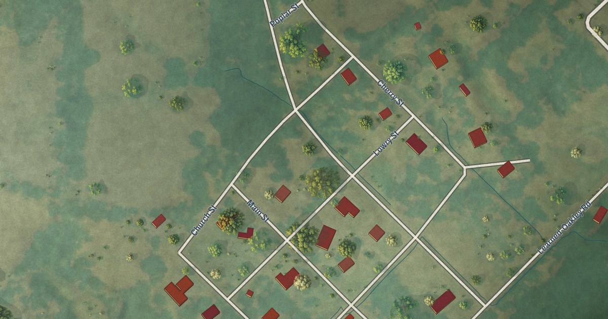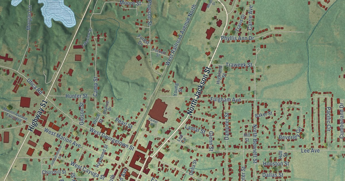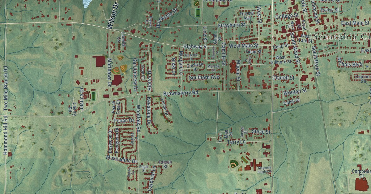
This beautifully detailed map of Senatobia, Mississippi was created in 2026 using aerial imagery combined with modern topographical, census, street and landmark data. It’s a one-of-a-kind view of Senatobia that combines accurate data with a vintage aesthetic. The map shows every building in its true location, many of the roads carry their names, and the shaded topographic relief shows the shape of the land.
Explore an aerial view of Senatobia, Mississippi
On the map you’ll find Senatobia City Hall, along with Norfleet Drive, Wilson Drive, North Panola Street, Quality Lane, West Main Street, East Main Street, Miracle Drive, Park Street, Country Club Road, Hammond Hill Road, Two Mile Branch Road, and more. If you look closely you can even find your house accurately drawn in its correct location. Zoom in on the preview to look for yours.
Did you know this piece of Senatobia, Mississippi history?
From Mississippiencyclopedia.org: "Northwest Community College opened in Senatobia in 1928 and now enrolls more than seven thousand students each year."
Take a closer look at the Senatobia map
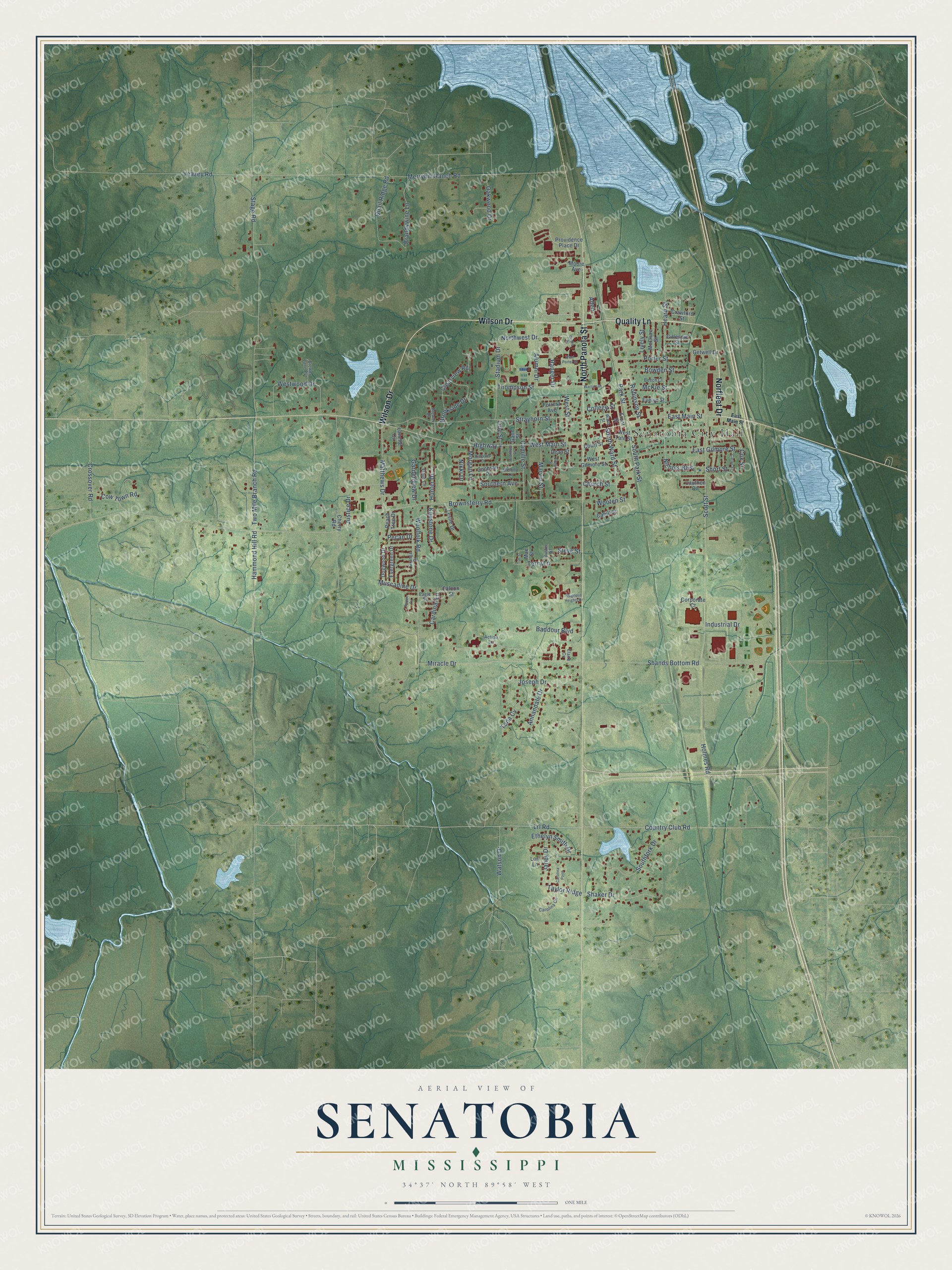
Street and place names on the Senatobia, Mississippi map
These names are printed on the map of Senatobia, Mississippi.
Places: Senatobia City Hall.
Streets and roads: Norfleet Drive, Wilson Drive, North Panola Street, Quality Lane, West Main Street, East Main Street, Miracle Drive, Park Street, Country Club Road, Hammond Hill Road, Two Mile Branch Road, Lrl Road.
More street names, A to Z
Action Lane, Allen, Alumni Drive, Annandale Drive, Aspen Cv, Baddour Boulevard, Beech Court, Bowden Street, Brandywine Lane, Brewer Drive, Brewer Lane Pvt, Brookside Drive, Brownsferry Road, Buster Street, Cahill Street, Camille Street, Cardinal Lane, Carolina Circle, Carolina Point, Carter Street, Cauthen Circle, Cherry Road, Church Street, Circle Drive, Claire Cv, Clearview Road, Cochran Place, College Street, Corporate Court, Court Street, Cow Town Road, Cox Street, Crawford Street, Crossover Road, Dean Street, Dogwood Drive, Eagle Street, East Gilmore Street, Edele Street, Ethelyn Smith Drive, Evelyn Street, Evergreen Drive, Falcon Street, Floyd Circle, Forrest Avenue, Front Street, Gann Street, Gardenview Drive, Getwell Drive, Gillespie Street, Glendale Street, Heard Street, Highway 4, Holmes Road, Hunter Drive, Industrial Drive, Janey Drive, Joseph Drive, Justice Drive, Keestone Drive, Lanelle Cv, Leslie Drive, Line Street, Lively Street, Lori Lane, Mae Street, Magnolia Heights Drive, Marvin Street, Matthews Drive, McClure Street, McKie Street, Melody Lane, Merryhill Ranch Road, Moore Avenue, Morgan Lane, Muscadine Drive, Nichols Boulevard, Nikki Drive, Northwest Drive, Oakwood Drive, Orange Drive, Peach Tree Drive, Pecan Drive, Porter Street, Providence Place Drive, Quail Ridge Road, Ranger Drive, Ridgetop Drive, Robinson Street, Scott Street, Shaker Drive, Shands Bottom Road, Short Street, Southern Avenue, Southfork Drive, South Park Street, South Ward Street, Stadium Drive, Stage Road, Steve Street, Strayhorn Street, Taylor Ridge, Tena Cv, Terry Lane, Thompson Street, Tim Street, Veazey Road, Ward Street, Warrior Drive, Watson Drive, West Gilmore Street, West Porter Street, West Street, West Tate Street, Westwood Drive, Woolfolk Road, Wooten Street.
See the Senatobia, Mississippi map on a wall
The Senatobia map as an 18 x 24 inch print in a black frame.

This beautifully detailed map of Senatobia makes an attractive addition to your office, library, or den, and it can even be used to teach children the geography and history of the area. It also makes a great gift for anyone with Senatobia roots. When you’re done exploring, click here to get your copy of the Senatobia map.