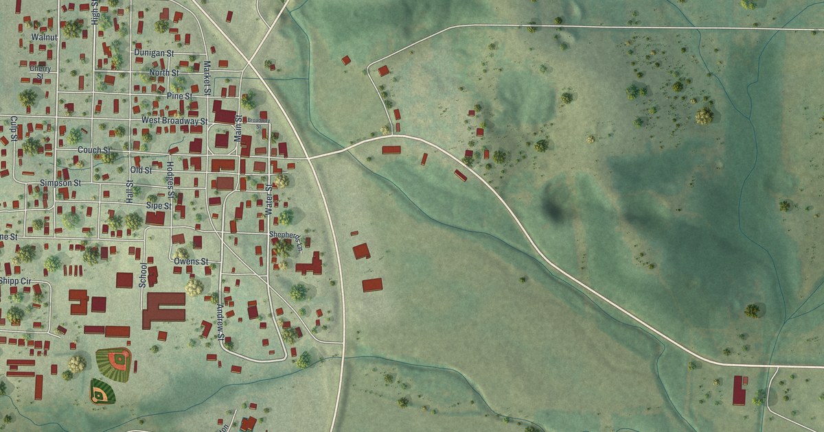
If you grew up in Alton or still have family near Main Street, this map puts the whole town on one sheet. It's a modern aerial view of Alton, a city in Oregon County, Missouri, made from modern data and given a vintage artistic feel. Almost 600 buildings are marked in red on soft green hills. The town fills the upper left, and open country stretches off to the east, crossed by thin blue creeks.
West Broadway Street, Main Street and Market Street
Start on West Broadway Street, near the east side of town. Main Street and Market Street run north and south close by, lined with some of the biggest red buildings. Pine Street, North Street and Dunigan Street cross just above. Below, Couch Street, Old Street and Simpson Street run east and west. Water Street and Andrew Street sit along the east edge, where a wide road curves past town.
Now head south to a short road printed School, beside a group of large red buildings. Owens Street is just east of it. Below them, look for a small ball field drawn in green. To the west, Vine Street, Shipp Circle and Barton Street fill the lower blocks. Caruthers Lane and Bennett Drive reach into the upper left. Many of the roads are labeled, and each red shape is a building, so zoom in on the preview and look for yours.
Alton, an Oregon County city of 707 people
Alton is a city in Oregon County, Missouri. The 2020 Census counted 707 people living there. Several of its printed street names are trees and plants: Walnut, Pine, Cherry, Laurel and Vine. South of town, Tucker Creek Road runs toward the curving highway. Haigwood Drive, Laurel Avenue and Wilson Court sit in a small group of homes near it. Co Road East heads off to the southeast. On the right half of the sheet, a long road runs east across the hills, past a few red buildings and lines of trees.
For someone who knows Main Street in Alton
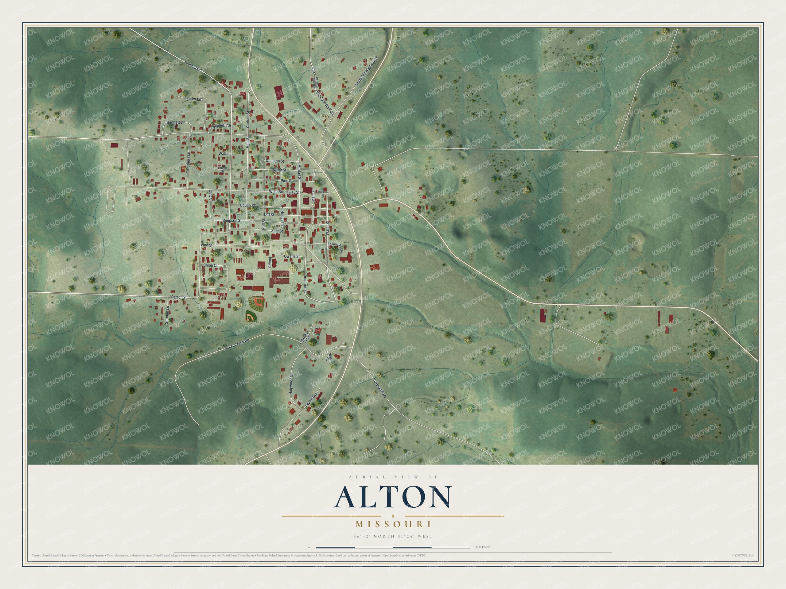
Created by KNOWOL in 2026, this map of Alton shades the land from USGS elevation data and marks each building in red. The title panel reads "Aerial View of Alton, Missouri" with the coordinates 36°42' North, 91°24' West and a half-mile scale bar.
It suits a kitchen, a den or a hallway where family gathers. It's a thoughtful gift for someone who grew up along Main Street in Alton and moved away. Open the preview, zoom in and find the house you know. See sizes and frames for the Alton map.