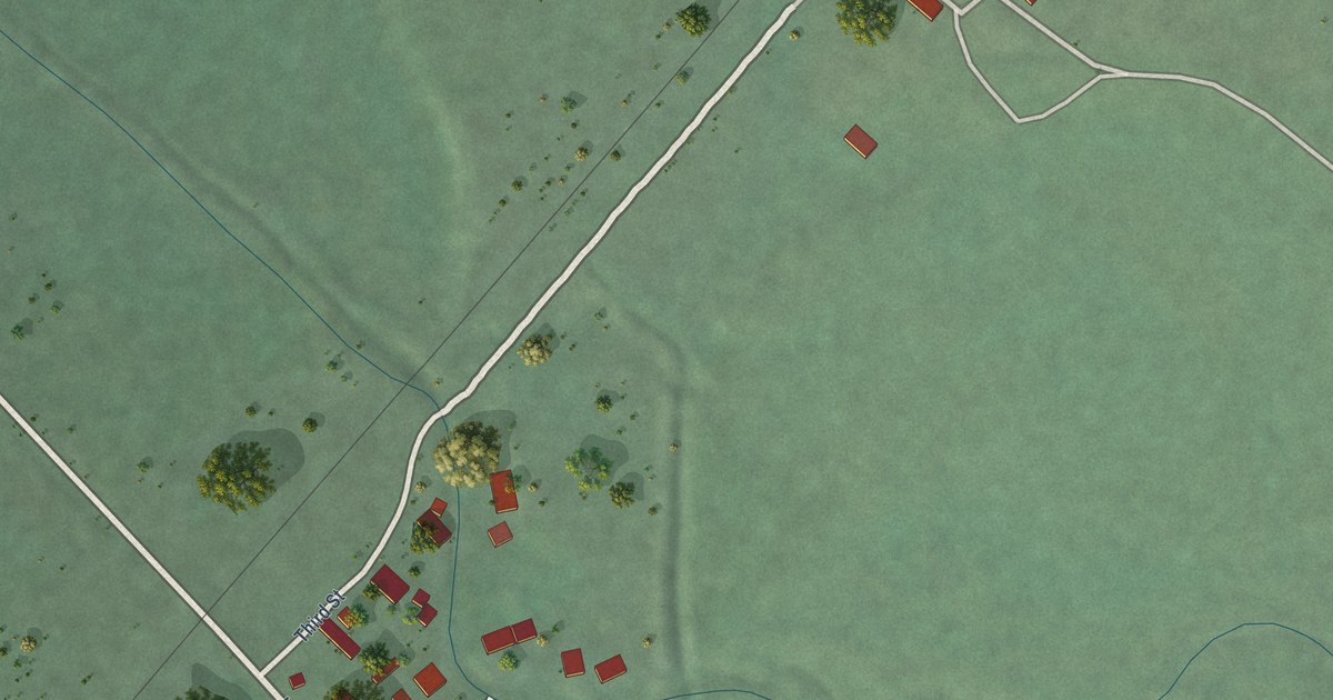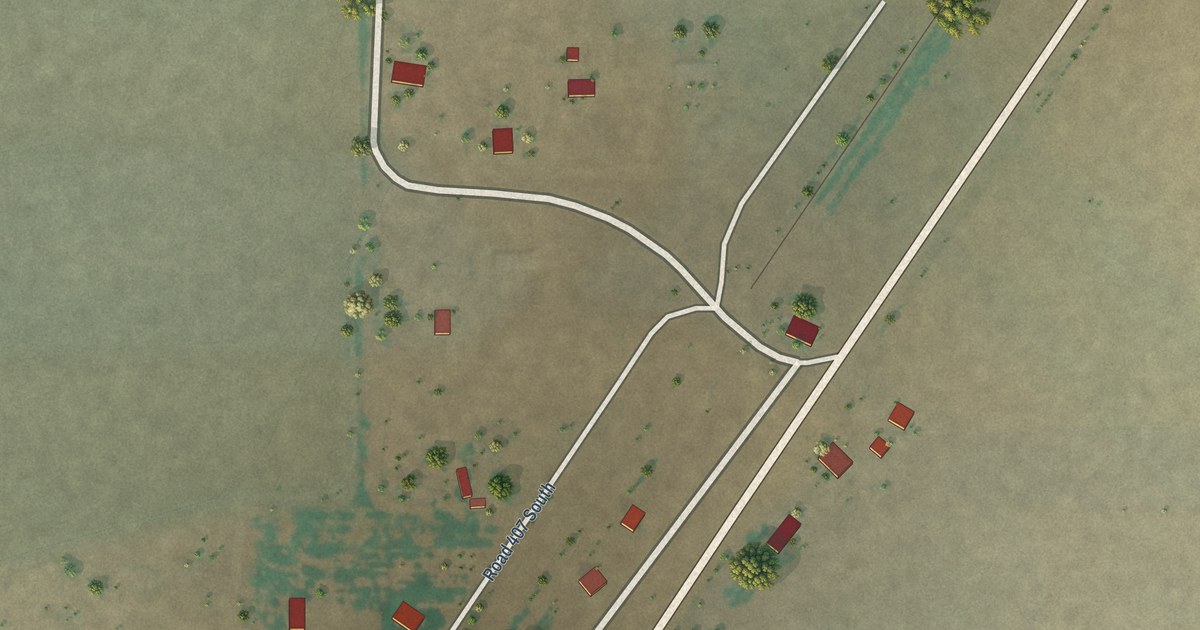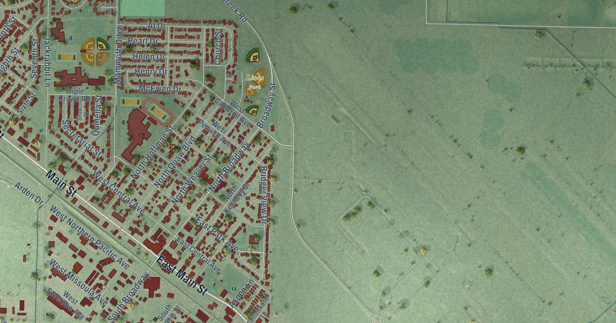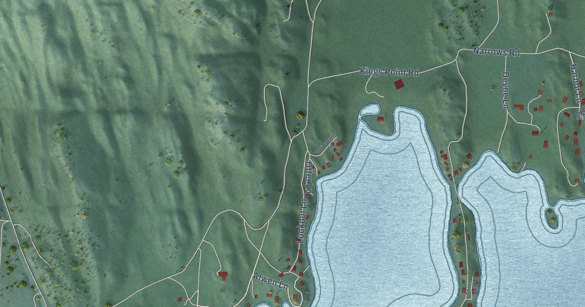
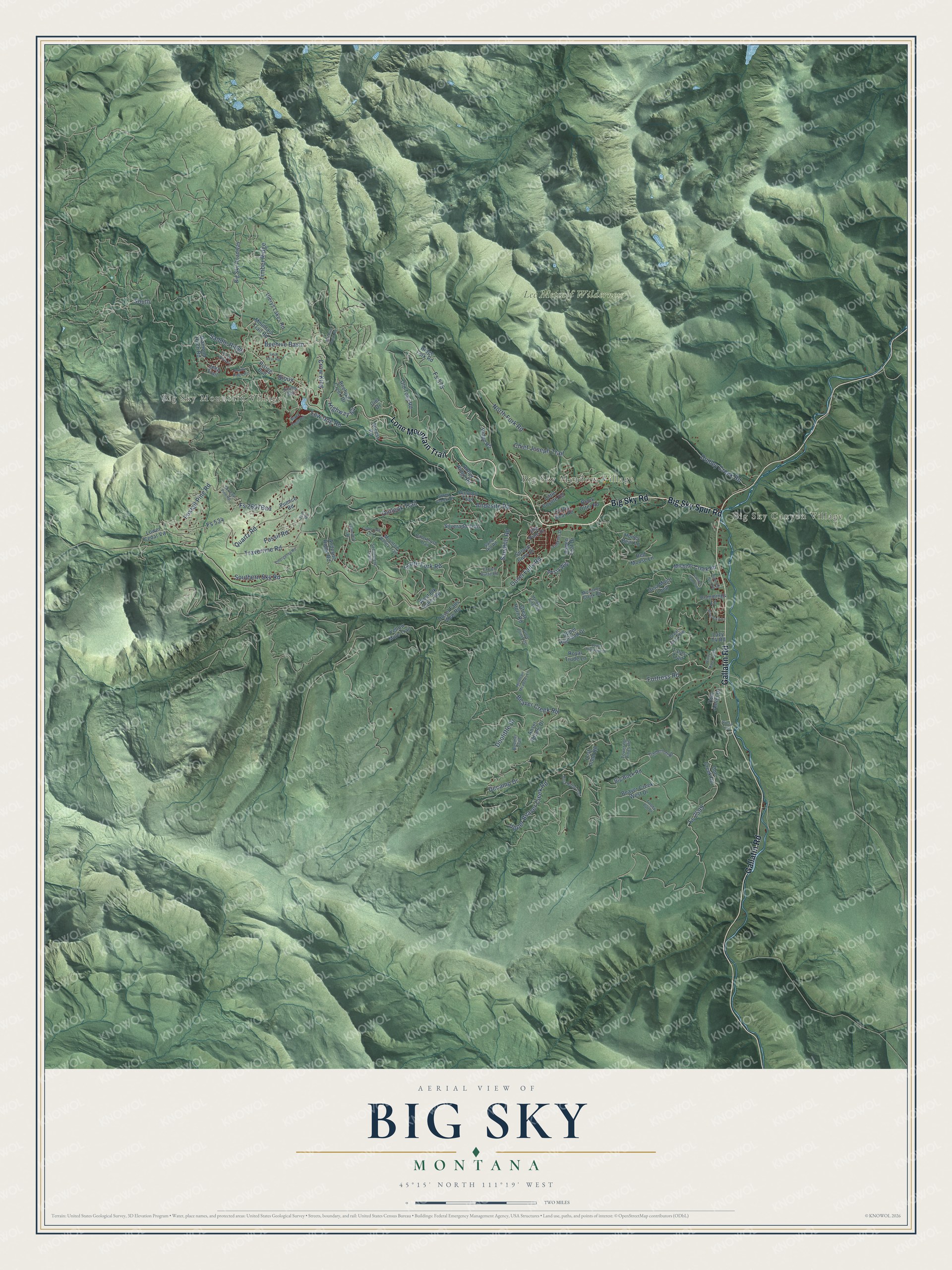
This beautifully detailed map of Big Sky, Montana was created in 2026 using aerial imagery combined with modern topographical, census, street and landmark data. It's a modern aerial view of Big Sky in Gallatin County, Montana, that combines modern data with a vintage aesthetic. The roads feature printed names, and if you look closely you can find your exact house accurately shown in its correct location.
Explore an aerial view of Big Sky, Montana
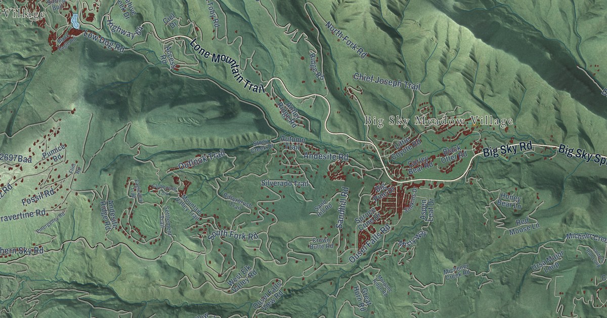
On this map you'll find Big Sky Mountain Village, Big Sky Canyon Village, Big Sky Meadow Village, Lee Metcalf Wilderness, Lone Mountain Trail, Big Sky Spur Road, Big Sky Road, Gallatin Road, South, Crow King, Timber Ridge, Highway 64, and more. Each red shape is a building, so zoom in on the preview and look for yours.
Every town has a first chapter, and Big Sky is no exception. NBC newsman Chet Huntley, of The Huntley-Brinkley Report, came home to Montana and put his energy into building a ski resort at the base of Lone Mountain called Big Sky. He was the front man, working with locals, businesses and state and federal agencies, and the resort opened to the public in December 1973. Huntley died on March 20, 1974, just three days before the official opening ceremony for Big Sky. That's from the Big Sky Chamber of Commerce.
Big Sky is a community in Gallatin County. The Census Bureau counted 3,591 people here in 2020.
Take a closer look at the Big Sky map
Names on this map
These names are printed on this map.
Places: Big Sky Mountain Village, Big Sky Canyon Village, Big Sky Meadow Village and Lee Metcalf Wilderness.
Streets and roads: Lone Mountain Trail, Big Sky Spur Road, Big Sky Road, Gallatin Road, South, Crow King, Timber Ridge, Highway 64, Beaver Creek Road, Fortress Road, Saddle Ridge, Ousel Falls Road.
More street names, A to Z
Access Road, Andesite Ridge Road, Andesite Road, Ansel Adams Drive, Antler Ridge Road, Aspen Leaf Drive, Autumn Trail, Beaver Creek West Drive, Beehive Basin, Beehive Basin Road, Beehive Creek Drive, Big Buck Road, Big Pine Drive, Big Sky Roadway, Bitterbrush Trail, Black Eagle Road, Black Otter Road, Bodmer Trail, Buck Ridge Trail, Chief Joseph Trail, Ciel Drive, Clubhouse Fork, Colters Run Loop, Crown Butte Road, Cummings Lane, Curley Bear Road, Decamp Drive, Diamond Hitch Road, Doe Creek Road, Doolittle Drive, Dudley Creek Road, Eagleview Trail, Emergency Road, Flint Road, Fossil Road, Foxtail Pine Road, Fox Tail Pine Road, Fs 534, Fs 575, Fs 2599, Great Gray Hlw, Great Horn Road, Great Point Pass, Honey Bear Lane, Jeep Trail, Lazy T4 Road, Little Coyote Road, Lost Pond Road, Low Dog Road, Lower Cedar Vw, Lower Highland Drive, Michener Creek Road, Michner Creek Road, Misty Way, Morgane Ridge Road, Mountain Meadows Lane, Mountain Trail Road, Mountain Valley Trail, North Fork Road, Old Toby Road, Ousel Falls View Road, Outlook Trail, Peaks View Drive, Pumice Road, Quartz Road, Red Moose Lane, Ridge Fork Road, Ridge Road, Rising Bull, Riverview Lane, Rocco Trail, Royal Trude Lane, Running Iron Road, Saddle Ridge Road, Sandhill Road, Sand Hill Road, Settlement Trail, Silverado Trail, Simkins Drive, Sioux, Sitting Bull, Southern Sky Road, South Fork Road, Spruce Cone Drive, Stony Creek Drive, Swift Bear Road, Talus Trail, Timberloft Road, Towering Pines Road, Travertine Road, Trophy Bull Drive, Twin Antler Drive, Ulerys Lakes Road, Upper Beaver Creek Road, Upper Highland Drive, Ursa Major Loop, West Elk Valley Road, Windy Pass Trail, Yellow Mule Trail.
See it on a wall
The Big Sky map as a framed print. Swipe for more.


Created by KNOWOL in 2026. The buildings are small red shapes, the roads carry their printed names, and shaded relief shows the shape of the land. The title panel reads "AERIAL VIEW OF BIG SKY, MONTANA" with 45°15' NORTH 111°19' WEST.
Hang it in the hallway, the office or the cabin, or give it to someone who left Big Sky and still calls it home. Open the preview and look for a street you know. See sizes and frames for the Big Sky map.