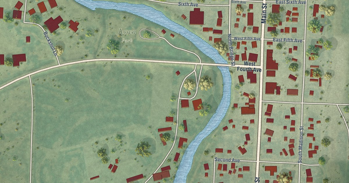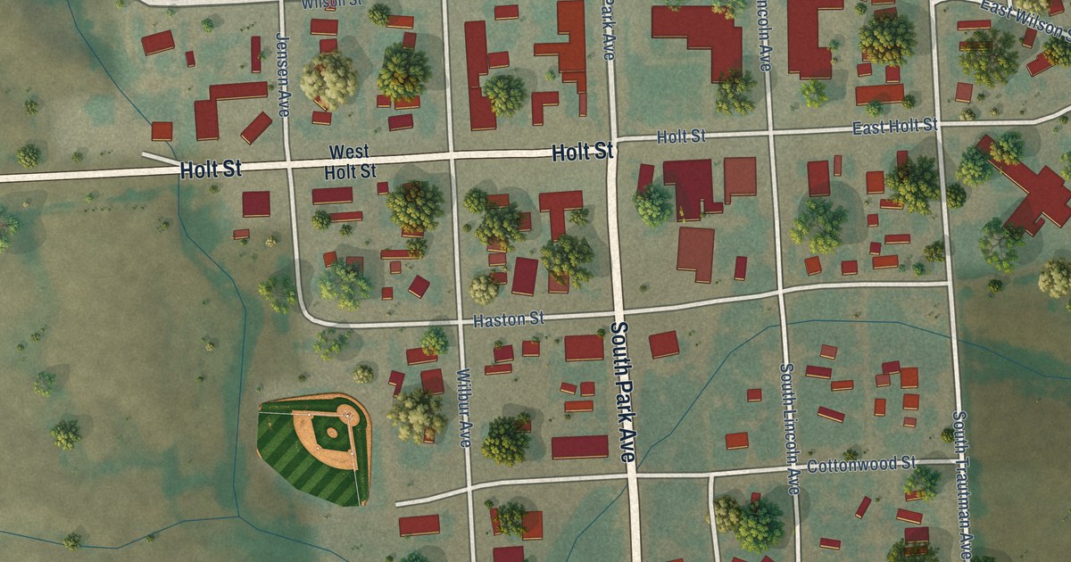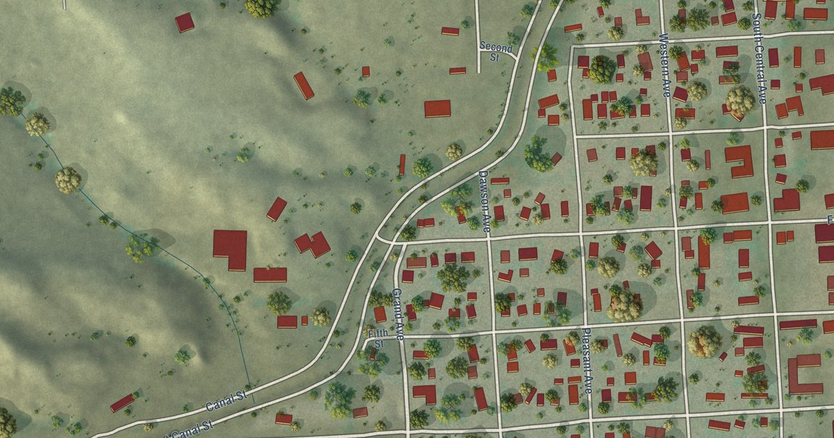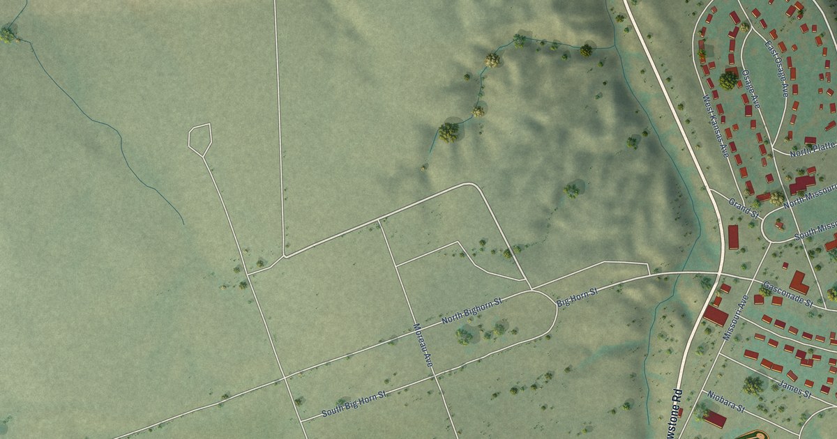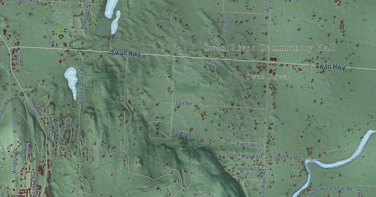
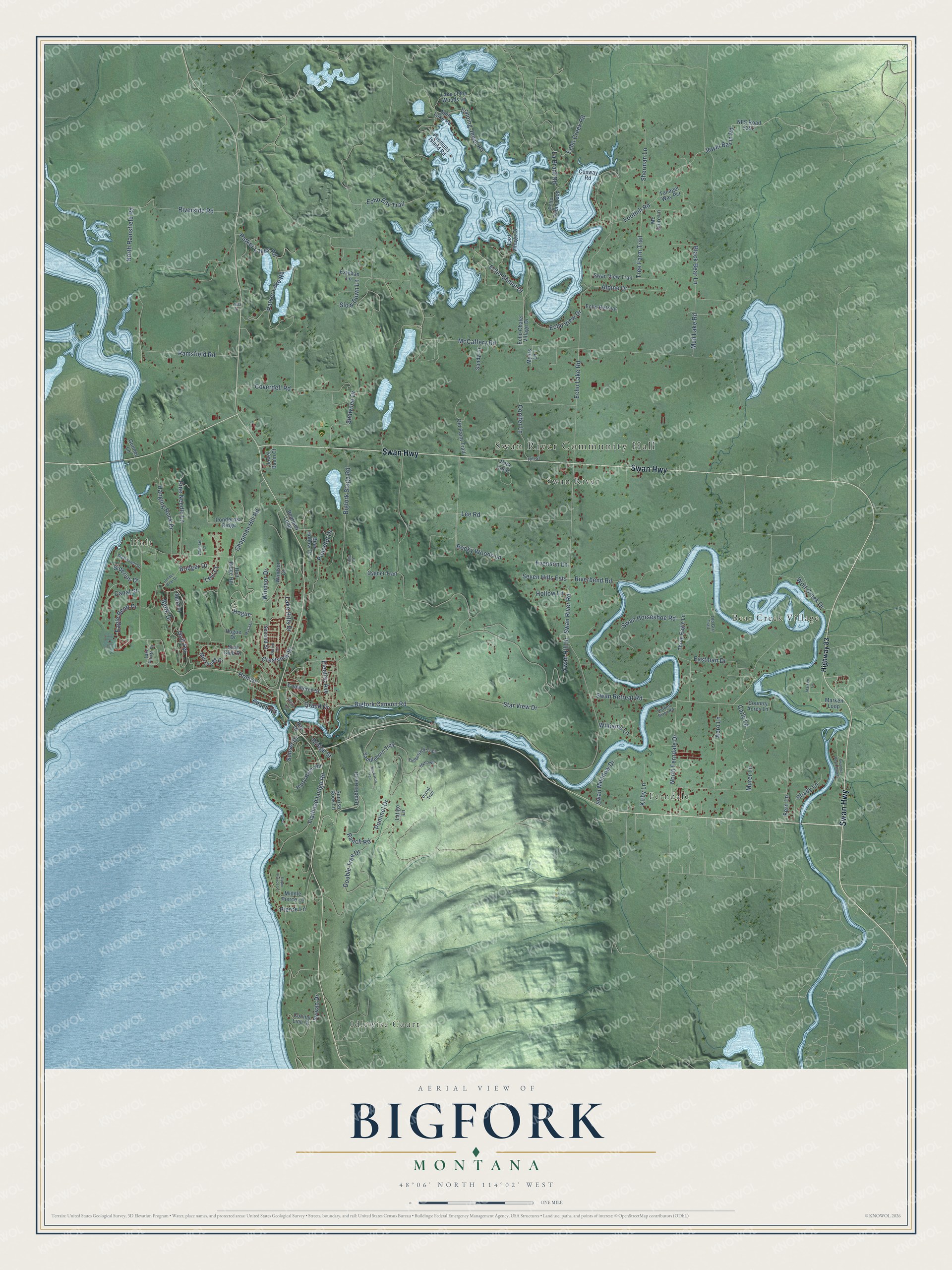
This beautifully detailed map of Bigfork, Montana was created in 2026 using aerial imagery combined with modern topographical, census, street and landmark data. It's a modern aerial view of Bigfork in Flathead County, Montana, that combines modern data with a vintage aesthetic. The roads feature printed names, and if you look closely you can find your exact house accurately shown in its correct location.
Explore an aerial view of Bigfork, Montana
On this map you'll find Swan River Community Hall, Holt, Bear Creek Village, Ferndale, Idlewise Court, Swan River, Swan Highway, Ranch Road, Holt Drive, North Ferndale Drive, Pierce Lane, Echo Chalet Drive, and more. Each red shape is a building, so zoom in on the preview and look for yours.
Every town has a first chapter, and Bigfork is no exception. The Bigfork Area Chamber of Commerce puts it this way: "By 1894, Sliter had relocated his family from his native Michigan and purchased nearly 140 acres in Bigfork, where he planted one of the largest orchards in the valley. Sliter went on to build an estate, which included Bigfork’s first hotel rooms, and a post office."
Bigfork is a community in Flathead County.
Take a closer look at the Bigfork map
Names on this map
These names are printed on this map.
Places: Swan River Community Hall, Holt, Bear Creek Village, Ferndale, Idlewise Court and Swan River.
Streets and roads: Swan Highway, Ranch Road, Holt Drive, North Ferndale Drive, Pierce Lane, Echo Chalet Drive, Swan Hill Drive, McCaffery Road, Echo Lake Road, Swan River Road, Bigfork Stage Road, Eagle Bend Drive.
More street names, A to Z
Aerie Place, Aero Lane, Alpine Drive, Bay Drive, Beach Road, Bear Hollow Drive, Bearpaw Loop, Bigfork Canyon Road, Bjork Drive, Black Bear Lane, Boat Club Drive, Bridger Drive, Bridge Street, Buckaroo Trail, Canal Street, Carly Lane, Chapman Hill Road, Commerce Street, Conifer Lane, Cosway Road, Country Acres Lane, County Line Drive, Coverdell Road, Crestview Drive, Cygnet Trail, Double Tree Drive, Doubletree Drive, Eastman Drive, East Village Drive, Echo Bay Trail, Echo Cabin Loop, Echo Chalet Village Drive, Echo Creek Road, Echoing Jewel Road, Echo Retreat, Echo View Drive, Electric Avenue, Esteban Lane, Evenson Lane, Fern Lane, Firemans Island Road, Flathead Lodge Road, Foothill Road, Golden Bear Drive, Golf Terrace, Grand Drive, Gunner Lane, Hanging Rock Drive, Harry Harm Road, Hidden River Road, Highway 83, Hill Street, Hogue, Hogue Drive, Hollow Lane, Holt Ridge Road, Jewel Basin Court, Jewel Basin Road, Kirby Lane, La Brant Road, Lake Hills Drive, Lake of the Woods Lane, Lake Pointe Drive, Latigo Lane, Lee Road, Levi Court, Little Court, Marken Lane, Marken Loop, McCabe, McDowell Drive, Mc Guire Lane, Middle Pierce Lane, Mill Creek Drive, Mud Lake Road, Murer Lane, Myers Lane, NFS Road 5392, North Ramsfield Road, Obrien Terrace, Old Griz Trail, Old Paint Trail, Parker Lake Road, Parker Lakes Road, Park Loop, Peaceful Drive, Pine Needle Lane, Pistol Trail, Pommel Drive, Ponderosa Ridge, Ramsfield Road, Riverbend Road, Riverside Road, Rocky Woods Lane, Saddlehorn Trail, Sandy Lane, Second Street, Seven Hills Ests, Shady Lane, Shawnee Drive, Sherman Lane, Siderius Drive, Slow Down Lane, Spill Lake Road, Star View Drive, Sunrise Rock Lane, Sunset Drive, Swan Horseshoe Road, Swanlea Road South, Swan Meadow Drive, Swan Retreat Road, Swan View Trail, Sylvan Drive, Tanager Way Pvt, Three Eagle Lane, Timberjack Trail, Tree Farm Trail, Uknown, Upper Pierce Lane, Vista Drive, Vista Lane, Whitetail Court, Williams Lane, Windsor Court, Windsor Drive, Wolf Creek Drive.
See it on a wall
The Bigfork map as a framed print. Swipe for more.


Created by KNOWOL in 2026. The buildings are small red shapes, the roads carry their printed names, and shaded relief shows the shape of the land. The title panel reads "AERIAL VIEW OF BIGFORK, MONTANA" with 48°06' NORTH 114°02' WEST.
Hang it in the hallway, the office or the cabin, or give it to someone who left Bigfork and still calls it home. Open the preview and look for a street you know. See sizes and frames for the Bigfork map.