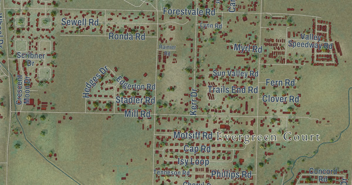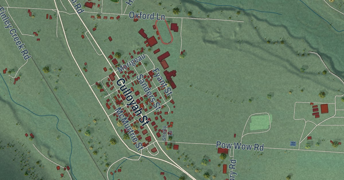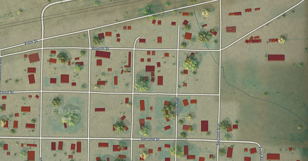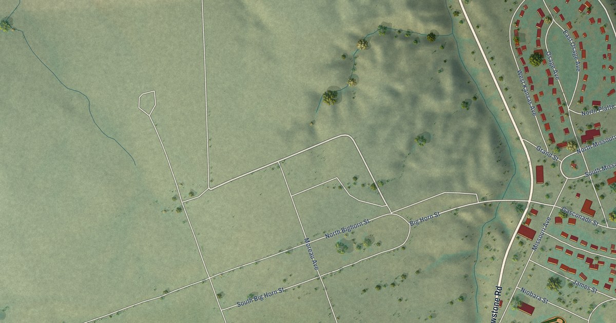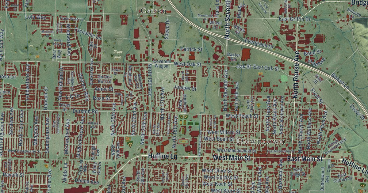
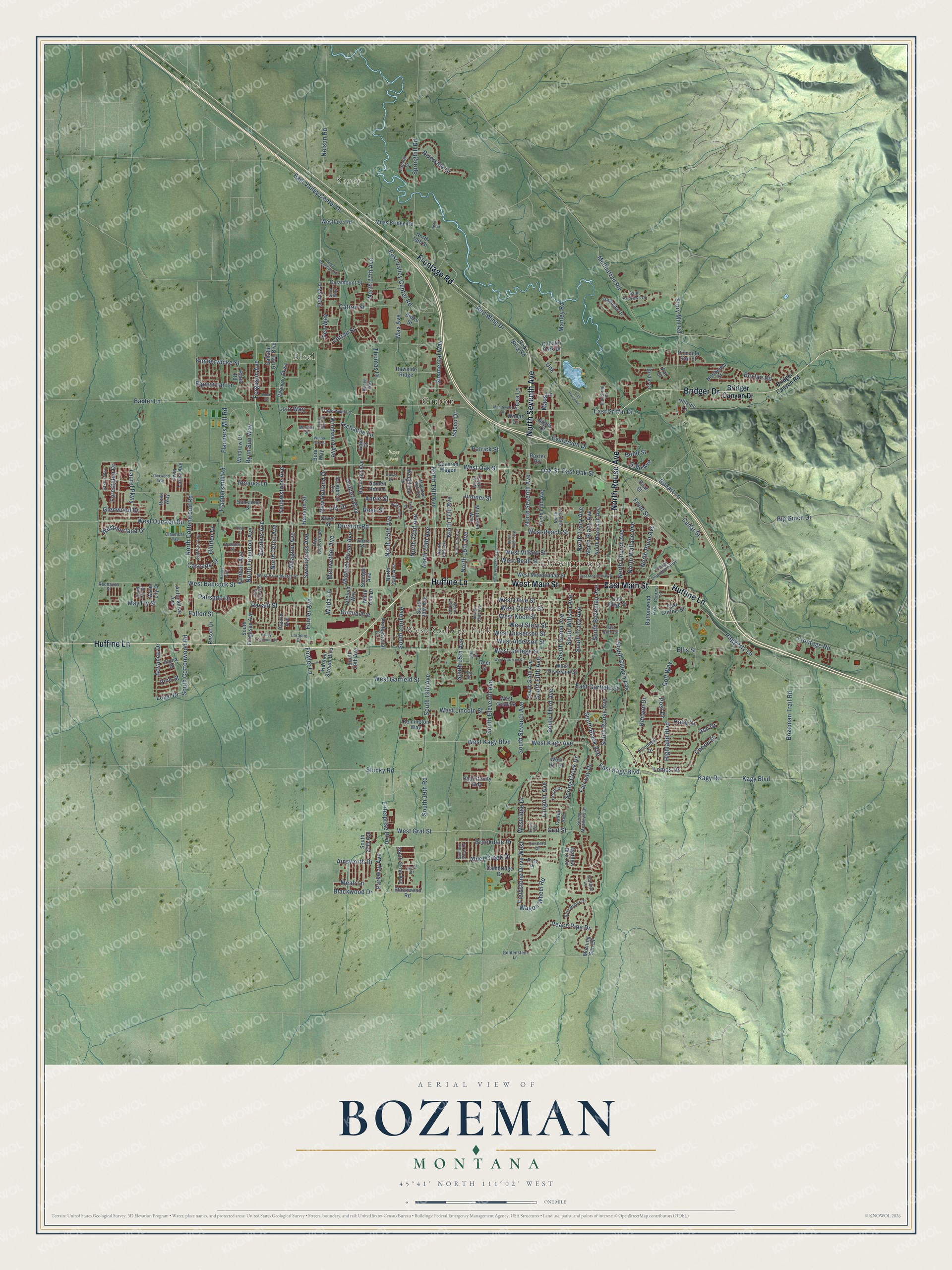
This beautifully detailed map of Bozeman, Montana was created in 2026 using aerial imagery combined with modern topographical, census, street and landmark data. It’s a one-of-a-kind view of Bozeman that combines accurate data with a vintage aesthetic. The map shows every building in its true location, many of the roads carry their names, and the shaded topographic relief shows the shape of the land.
Explore an aerial view of Bozeman, Montana
On the map you’ll find Downtown, Story, Bisel, West College Park, Rose Park, and Catron, along with East Main Street, North Seventh Avenue, Huffine Lane, Frontage Road, West Main Street, Bridger Drive, and more. If you look closely you can even find your house accurately drawn in its correct location. Zoom in on the preview to look for yours.
Did you know this piece of Bozeman, Montana history?
From the Historical Marker Database: "In 1870 Lieutenant Gustavus Doane departed Fort Ellis to survey what would later become Yellowstone National Park. The first tourist parties, outfitted in Bozeman and escorted by soldiers, established the Gallatin Valley as the gateway to the Park."
Bozeman is a city in Gallatin County.
Take a closer look at the Bozeman map
Street and place names on the Bozeman, Montana map
These names are printed on the map of Bozeman, Montana.
Places: Downtown, Story, Bisel, West College Park, Rose Park and Catron.
Streets and roads: East Main Street, North Seventh Avenue, Huffine Lane, Frontage Road, West Main Street, Bridger Drive, North Rouse Avenue, South Third Avenue, West Oak Street, Oak Street, Graf Street, South Tracy Avenue.
More street names, A to Z
13th Avenue, Advance Drive, Ainsworth Drive, Alder Creek Drive, Alpha Drive, Annie Street, Ash Drive, Augusta Drive, Automotive Avenue, Baxter Lane, Baxter Road, Big Gulch Drive, Birdie Drive, Blackwood Drive, Blackwood Road, Bohart Lane, Bond Street, Bora Way, Bosal Street, Boylan Road, Bozeman Trail Road, Brenden Street, Bridger Canyon Drive, Bridger Canyon Road, Brookdale Drive, Buckrake Avenue, Burke Street, Buttonwood Avenue, Cambridge Drive, Cascade Street, Catamount Street, Catron Street, Cattail Street, Cedar Street, Cherry Drive, Christopher Way, Circle Drive, Classical Way, Clifden Drive, Colter Avenue, Concord Drive, Cottage Lane, Covered Wagon, Cypress Street, Davis Lane, Daws Drive, Deer Street, Donna Avenue, Durston Road, East Curtiss Street, East Garfield Street, East Griffin Drive, East Kagy Boulevard, East Mendenhall Street, East Oak Street, East Olive Street, East Story Street, East Valley Center Drive, East Valley Center Road, Ellis Street, Emily Drive, Enterprise Boulevard, Equestrian Lane, Erwin Avenue, Evergreen Drive, Fairway Drive, Fallon Street, Fen Way, Ferguson Avenue, Fieldstone Drive West, Flanders Mill Road, Flandersmill Road, Flora Lane, Forestglen Drive, Fowler Avenue, Fowler Lane, Fox Street, Front Street, Gale Court, Gallatin Drive, Gallatin Green Boulevard, Gallatin Park Drive, Glenwood Drive, Gold Avenue, Golden Rod Lane, Goldenstein Lane, Golf Way, Granite Avenue, Haggerty Lane, Hanley Avenue, Hanson Street, Harmon Stream Boulevard, Highland Boulevard, Hillside Lane, Holly Drive, Hunters Way, Industrial Drive, Iron Horse Road, Juniper Street, Kagy Boulevard, Kagy Road, Kean Drive, Kenyon Drive, Kimball Avenue, Kimberwicke Street, Lance Drive, Langohr Avenue, Laramie Drive, Laurel Parkway, Lily Drive, Lolo Way, Lomas Drive, Loyal Drive, Mandeville Drive, Manley Road, Matheson Way, Mathew Bird Circle, Maus Lane, Max Avenue, May Fly Street, McIlhattan Road, Meagher Avenue, Meah Lane, Meriwether Avenue, Michael Grove Avenue, Monida Street, Morning Sun Drive, Moss Bridge Road, Mountain Ash Avenue, Nelson Road, New Holland Drive, Nikles Drive, North 14th Avenue, North 15th Avenue, North 16th Avenue, North 17th Avenue, North 18th Avenue, North 19th Avenue, North 19th Street, North 20th Avenue, North 22nd Avenue, North 24th Avenue, North 25th Avenue, North 27th Avenue, North Black Avenue, North Bozeman Avenue, North Church Avenue, North Cottonwood Road, North Eleventh Avenue, North Ferguson Avenue, North Fifth Avenue, North Ninth Avenue, North Plum Avenue, North Teton Avenue, North Third Avenue, North Tracy Avenue, Northview Street, North Wallace Avenue, Oconnell Drive, Oliver Street, Opportunity Way, Palisade Drive, Par Court, Park Place, Parkway Avenue, Patrick Street, Peace Pipe Drive, Pear Street, Pinnacle Star Street, Pond Lily Drive, Post Drive, Prairie Avenue, Professional Drive, Rain Roper Drive, Ravalli Street, Rawhide Ridge, Redhaven Street, Red Wing Drive, Red Wing Road, Remington Way, Renee Way, Renova Lane, Resort Drive, Riata Road, Riverside Drive, Roger's Way, Rosa Way, Rose Street, Ryun Sun Way, Sacco Drive, Saint Andrews Drive, Sanders Avenue, Saxon Way, Sherwood Way, Simmental Way, Sora Way, South 13th Avenue, South 15th Avenue, South 16th Avenue, South 19th Avenue, South 19th Road, South 20th Avenue, South 22nd Avenue, South 23rd Avenue, South 27th Avenue, South 29th Avenue, South Black Avenue, South Bozeman Avenue, South Church Avenue, South Cottonwood Road, South Eleventh Avenue, South Ferguson Avenue, South Fifth Avenue, South Grand Avenue, South Rouse Avenue, South Seventh Avenue, South Sixth Avenue, South Willson Avenue, Springbrook Avenue, Spring Creek Drive, Springhill Road, Spring Meadows Drive, Spring View Court, Stafford Avenue, Story Mill Road, Stucky Road, Summer View Lane, Sunlight Avenue, Sunstone Street, Sweetgrass Avenue, Thomas Drive, Tilton Street, Trade Wind Lane, Trout Meadows Road, Tschache Lane, Twin Lakes Avenue, Unk, Valley Commons Drive, Vaquero Parkway, Village Downtown Boulevard, Villard Avenue, Vine Street, Virginia Way, Wagon Wheel Road, Water Lily Drive, West Alderson Street, West Babcock Street, West Beall Street, West Broadwater Street, West Cleveland Street, West College Street, West Curtiss Street, West Dickerson Street, West Durston Road, West Garfield Street, West Graf Street, West Grant Street, West Harrison Street, West Hill Street, West Kagy Avenue, West Kagy Boulevard, West Koch Street, Westlake Road, West Lincoln Street, West Mendenhall Street, Westmorland Drive, West Olive Street, West Peach Street, Westridge Drive, West Story Street, West Villard Street, Wheat Drive, White Oak Drive, Wilda Lane, Windrow Drive, Windward Avenue, Winter Park Street, Woodland Drive, Yellowstone Avenue.
See the Bozeman, Montana map on a wall
The Bozeman map as an 18 x 24 inch print in a black frame.

This beautifully detailed map of Bozeman makes an attractive addition to your office, library, or den, and it can even be used to teach children the geography and history of the area. It also makes a great gift for anyone with Bozeman roots. When you’re done exploring, click here to get your copy of the Bozeman map.