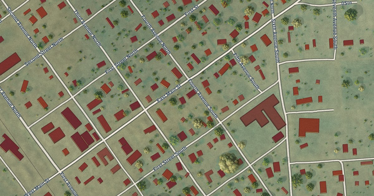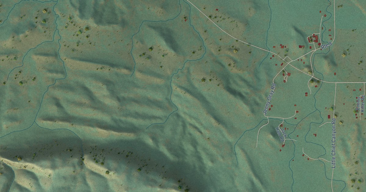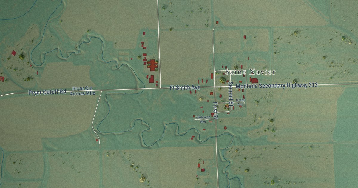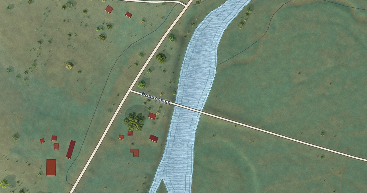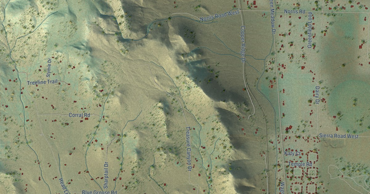
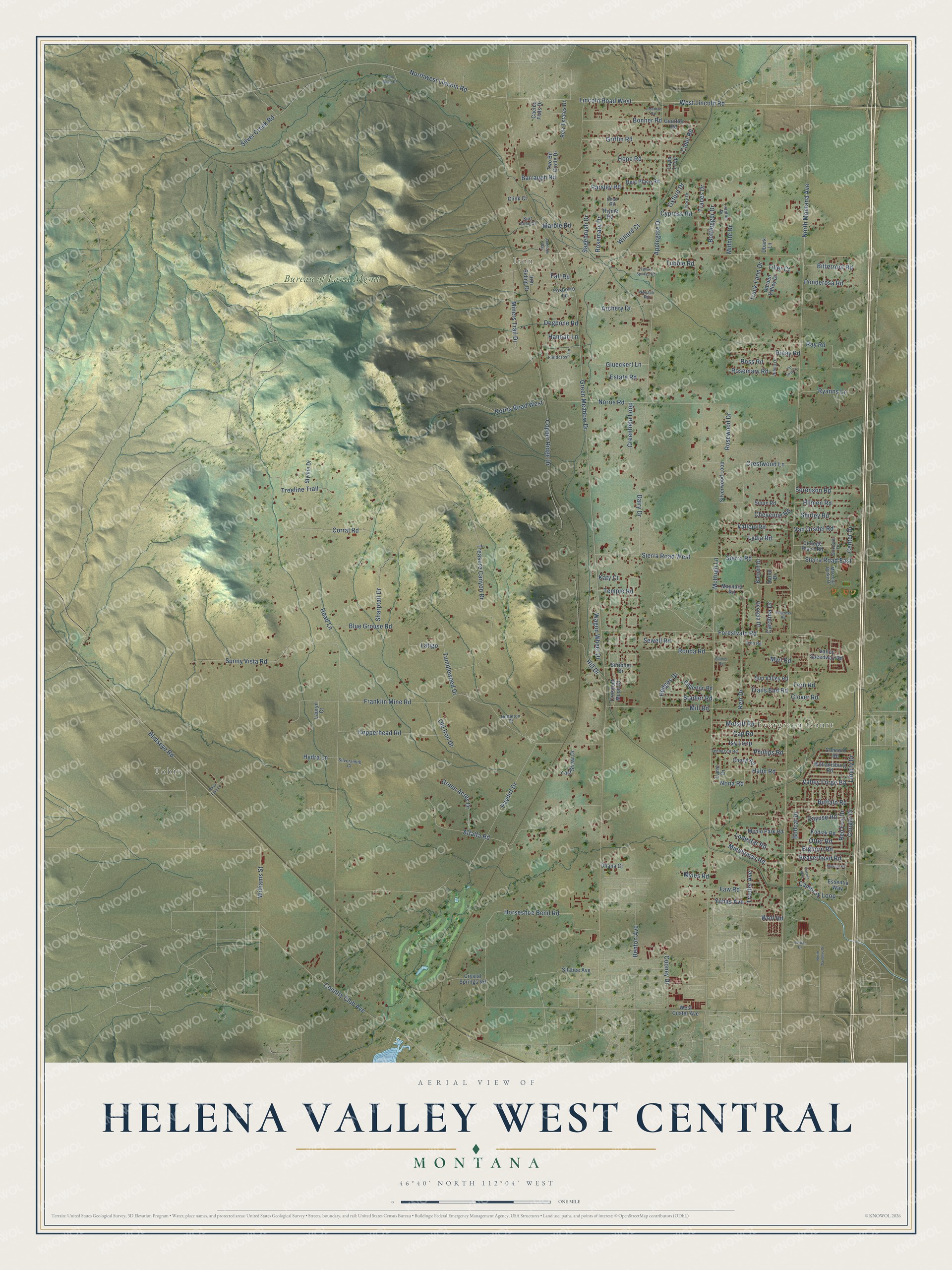
This beautifully detailed map of Helena Valley West Central, Montana was created in 2026 using aerial imagery combined with modern topographical, census, street and landmark data. It's a modern aerial view of Helena Valley West Central in Lewis and Clark County, Montana, that combines modern data with a vintage aesthetic. The roads feature printed names, and if you look closely you can find your exact house accurately shown in its correct location.
Explore an aerial view of Helena Valley West Central, Montana
On this map you'll find Tobin, Evergreen Court, Iron, Bureau of Land Mgmt, Northwest Lincoln Road, Lincoln Road West, Liberty Drive, West Lincoln Road, North Montana Avenue, Green Meadow Drive, Head Lane, McHugh Lane, and more. Each red shape is a building, so zoom in on the preview and look for yours.
Every town has a first chapter, and Helena Valley West Central is no exception. The Lewis and Clark County Hospital on Cooney Drive began in 1891 on the county poor farm. It gave a home to people who could not support themselves and care to those who could not afford a private hospital. The earthquake of October 18, 1935 destroyed the hospital, but only one patient was hurt. A new concrete hospital, built to stand up to earthquakes, was finished in 1939. In 1961 it was rededicated as the Cooney Convalescent Home. That's from the National Park Service.
Helena Valley West Central is a community in Lewis and Clark County. The Census Bureau counted 8,670 people here in 2020.
Take a closer look at the Helena Valley West Central map
Names on this map
These names are printed on this map.
Places: Tobin, Evergreen Court, Iron and Bureau of Land Mgmt.
Streets and roads: Northwest Lincoln Road, Lincoln Road West, Liberty Drive, West Lincoln Road, North Montana Avenue, Green Meadow Drive, Head Lane, McHugh Lane, Franklin Mine Road, Applegate Drive, Birdseye Road, Treasure Canyon Drive.
More street names, A to Z
Aaron Drive, Alfalfa Road, Antelope Way, Archery Drive, Barnett Drive, Barraugh Road, Beaverhead Road, Benton Avenue, Best Place Road, Bighorn Road, Bitterroot Road, Blue Grouse Road, Bobcat Drive, Bonner Road, Bottlegger Drive, Buffalo Road, Bum Steer Drive, Cactus Flats Drive, Cambray Loop, Cap Road, Carol Drive, Carolina Drive, Cayuse Road, Center Drive, Chad Road, Cheryl Road, Cheyenne Road, Cider Road, Clink Court, Clover Road, College Place Road, Concord Road, Cooney Drive, Copperhead Road, Copper Ridge Drive, Corral Road, Cougar Drive, Country Club Avenue, Crescent Moon Drive, Crestwood Lane, Crystal Springs Road, Cypress Road, Dairy Drive, Dbark Lane, Dogbone Road, Edgerton Road, Encore Way, Essentia Way, Estate Road, Fall Road, Faw Road, Fern Road, Fieldcross Lane, Forestvale Road, Foxborro Lane, Frontier Drive, Garden Valley Drive, Georgia Drive, Geuttler Road, Glueckert Lane, Goodwin Drive, Green Acres Drive, Greenfield Loop, Griffin Road, Hahn Road, Hannah Lane, Hedges Drive, Hill Drive, Hilma Drive, Hilmen Road, Hope Road, Horseshoe Bend Road, Hydra Lane, Iron Siding Drive, Isy Loop, Ivory Drive, Jonathan Road, Jordan Drive, Katy Court, Kerr Drive, Kodiak Road, Kurt Allen Court, Last Straw Drive, Latigo, Lauryn Court, Layla Loop, Lodestar Road, Lydia Road, Lynn Road, Marble Road, Marcella Burke Drive, Maynard Road, Menlo Park Road, Middlemas Road, Midnite Drive, Mill Road, Mineral Road, Miners Trail Drive, Motsiff Road, Myles Road, Myrl Road, Nettleton Court, Nona Road, Norris Road, Norris Road West, North Sanders Street, Novack Road, Ohana Court, Old Iron Drive, Otter Road, Oxford Drive, Parsley Road, Paso Fino Lane, Paydirt Drive, Phillips Road, Ponderosa Road, Progress Road, Rainier Road, Ray Road, Red Fox Drive, Retz Estates Drive, Rinay Road, Ronda Road, Rosemary Drive, Rosemary Road, Rosewood Drive, Ross Road, Ryanns Lane, Sagebrush Drive, Scribner Drive, Sewell Road, Sharptail Drive, Shirley Road, Sierra Road, Sierra Road East, Sierra Road West, Silsbee Avenue, Silver Creek Road, Silversmith Court, Silverwood Loop, Sioux Road, Sorenson Road, Stadler Road, Stymie Drive, Sunny Vista Road, Sun Valley Road, Temple Road, Tenneson Road, Thyme Road, Tiller Court, Traces Drive, Trails End Road, Traufer Avenue, Treeline Trail, Truck Farm Drive, Tubbie Road, Tumbleweed Drive, Two Bit Circle Drive, Vallejo Road, Valley Forge Road, Valley Speedway Road, Van Orsdel Road, Wagon Wheel Drive, West Custer Avenue, Willard Court, Williamsburg Road, Williams Street, Wolf Road, Yellow Springs Road, Yer Lost Lane, Yuhas Avenue.
See it on a wall
The Helena Valley West Central map as a framed print. Swipe for more.


Created by KNOWOL in 2026. The buildings are small red shapes, the roads carry their printed names, and shaded relief shows the shape of the land. The title panel reads "AERIAL VIEW OF HELENA VALLEY WEST CENTRAL, MONTANA" with 46°40' NORTH 112°04' WEST.
Hang it in the hallway, the office or the cabin, or give it to someone who left Helena Valley West Central and still calls it home. Open the preview and look for a street you know. See sizes and frames for the Helena Valley West Central map.