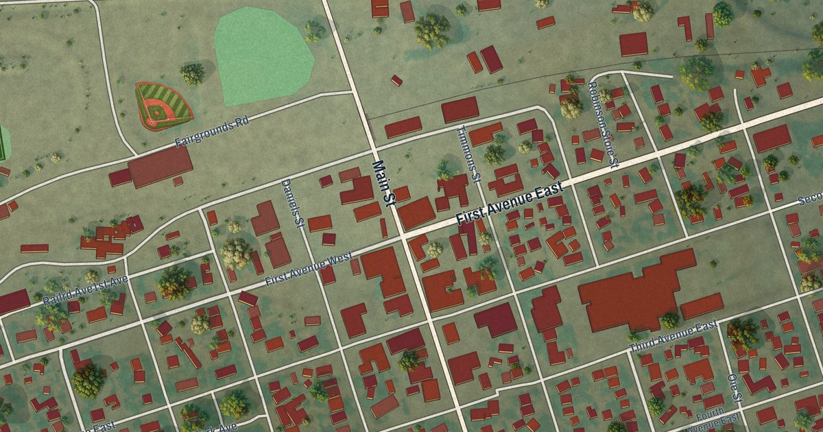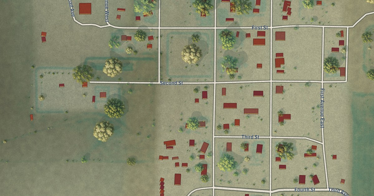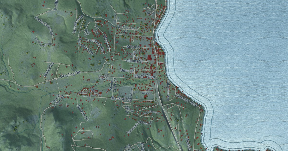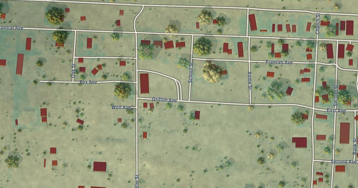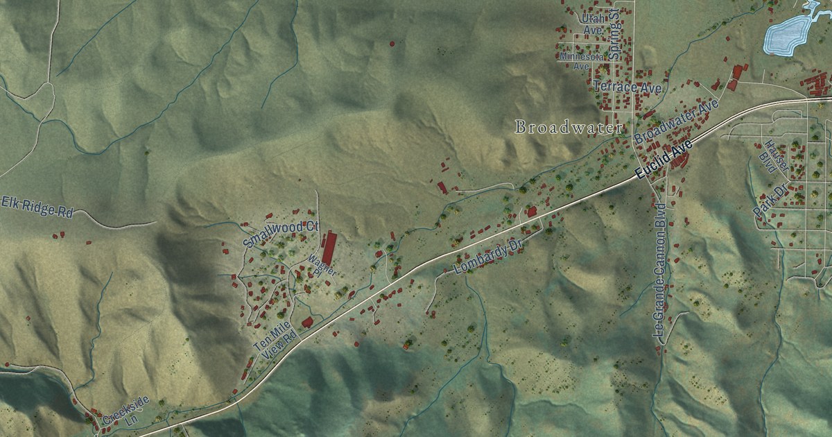
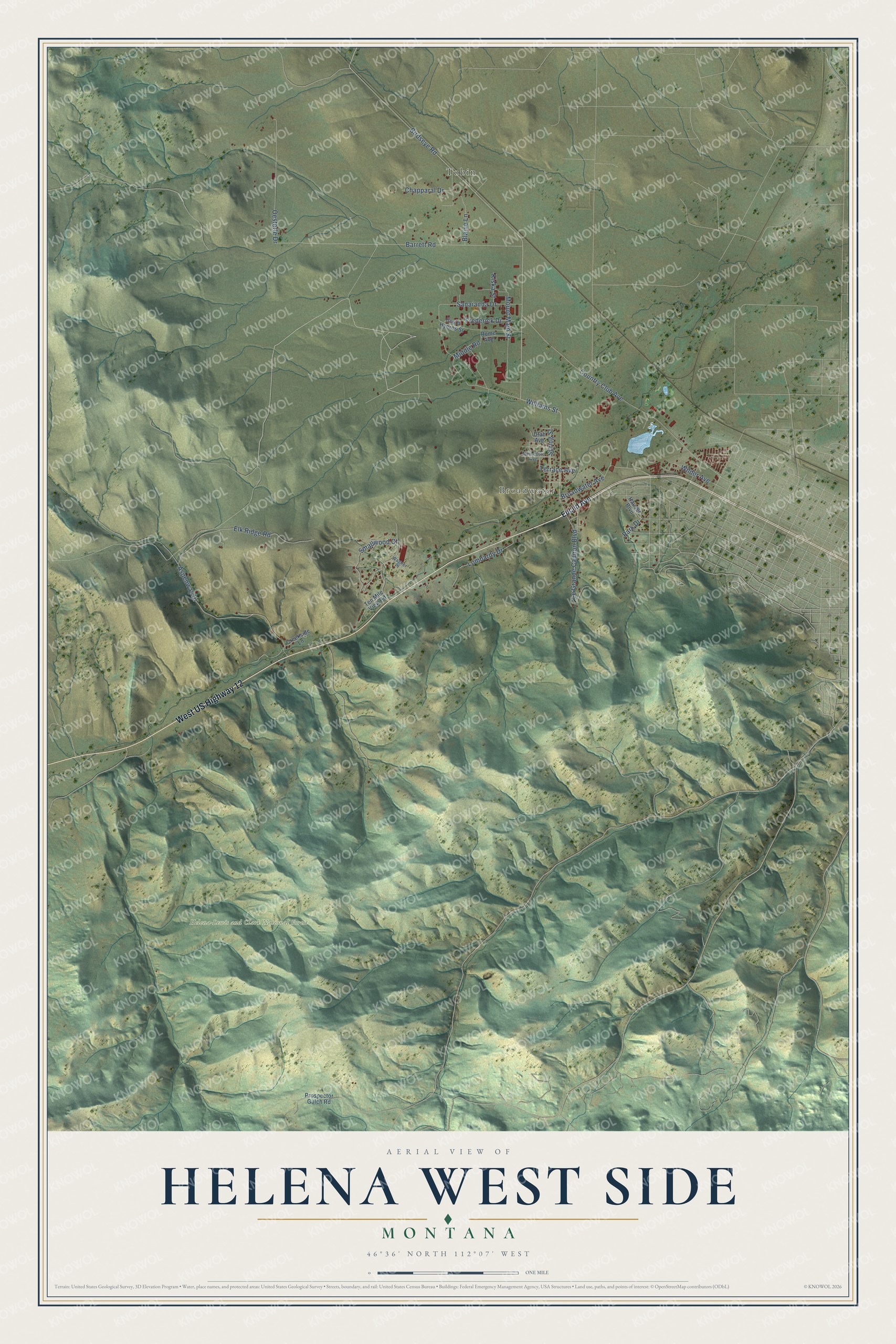
This beautifully detailed map of Helena West Side, Montana was created in 2026 using aerial imagery combined with modern topographical, census, street and landmark data. It's a modern aerial view of Helena West Side in Lewis and Clark County, Montana, that combines modern data with a vintage aesthetic. The roads feature printed names, and if you look closely you can find your exact house accurately shown in its correct location.
Explore an aerial view of Helena West Side, Montana
On this map you'll find Broadwater, Helena-Lewis and Clark National Forest, Tobin, West US Highway 12, Williams Street, Birdseye Road, Barrett Road, Broadwater Avenue, Country Club Avenue, Aspenway Drive, Elk Ridge Road, Le Grande Cannon Boulevard, and more. Each red shape is a building, so zoom in on the preview and look for yours.
Every town has a first chapter, and Helena West Side is no exception. Fort William Henry Harrison began in 1892 as an Army post near Helena, named at first for Benjamin Harrison, the twenty-third president, and later renamed for his grandfather, the ninth president. At the start of World War II the 1st Special Service Force, an elite unit of Canadian and American soldiers, trained at the fort. The Montana Regiment of the National Guard assembled there in 1917, and today the fort is home to a Veterans Affairs medical center. That's from the Montana Historical Society.
Helena West Side is a community in Lewis and Clark County. The Census Bureau counted 1,331 people here in 2020.
Take a closer look at the Helena West Side map
Names on this map
These names are printed on this map.
Places: Broadwater, Helena-Lewis and Clark National Forest and Tobin.
Streets and roads: West US Highway 12, Williams Street, Birdseye Road, Barrett Road, Broadwater Avenue, Country Club Avenue, Aspenway Drive, Elk Ridge Road, Le Grande Cannon Boulevard, Oesterle Drive, Smallwood Court, Mount Majo Street.
More street names, A to Z
Blaine Lane, Chapparal Drive, Creekside Lane, Euclid Avenue, Frederick Drive, Hauser Boulevard, Iles'd Hyeres Street, Kiska Street, Lombardy Drive, Middle Road, Minnesota Avenue, Park Drive, Prospector Gulch Road, Rome Avenue, Sanaianda Drive, Spring Street, Ten Mile View Road, Terrace Avenue, Utah Avenue, Wagner Place, Wilder Avenue.
See it on a wall
The Helena West Side map as a framed print. Swipe for more.


Created by KNOWOL in 2026. The buildings are small red shapes, the roads carry their printed names, and shaded relief shows the shape of the land. The title panel reads "AERIAL VIEW OF HELENA WEST SIDE, MONTANA" with 46°36' NORTH 112°07' WEST.
Hang it in the hallway, the office or the cabin, or give it to someone who left Helena West Side and still calls it home. Open the preview and look for a street you know. See sizes and frames for the Helena West Side map.