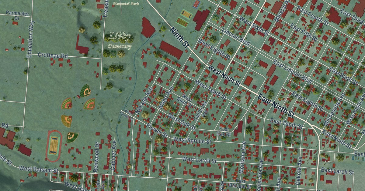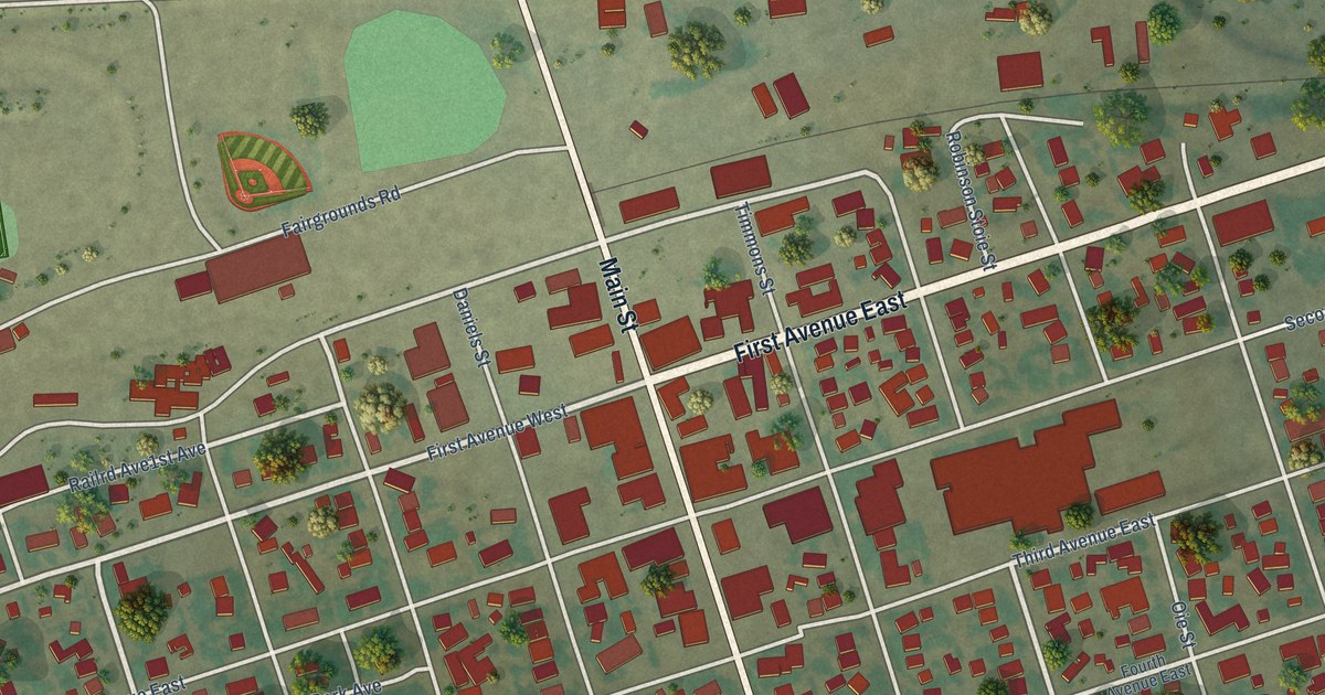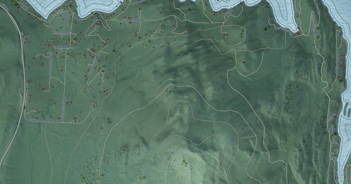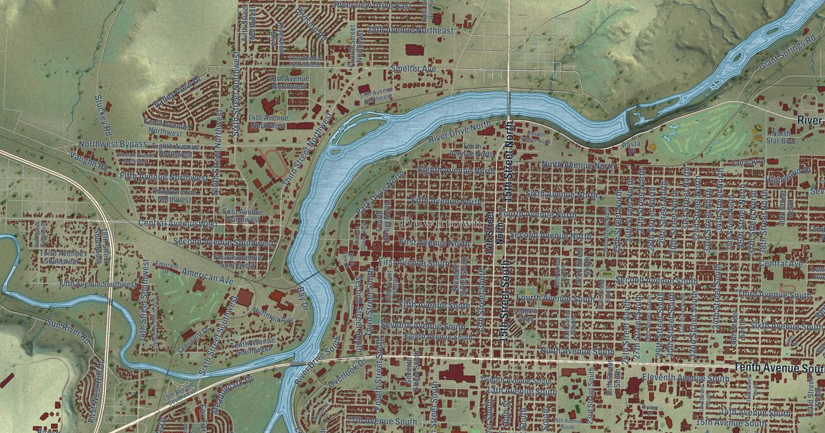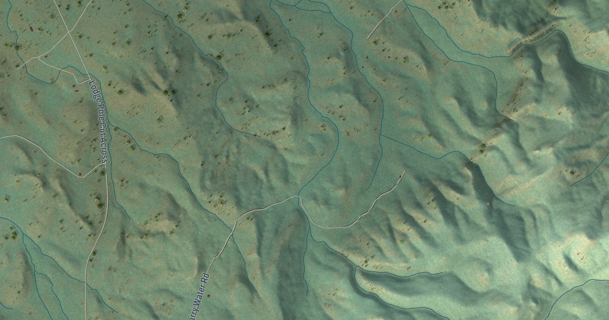
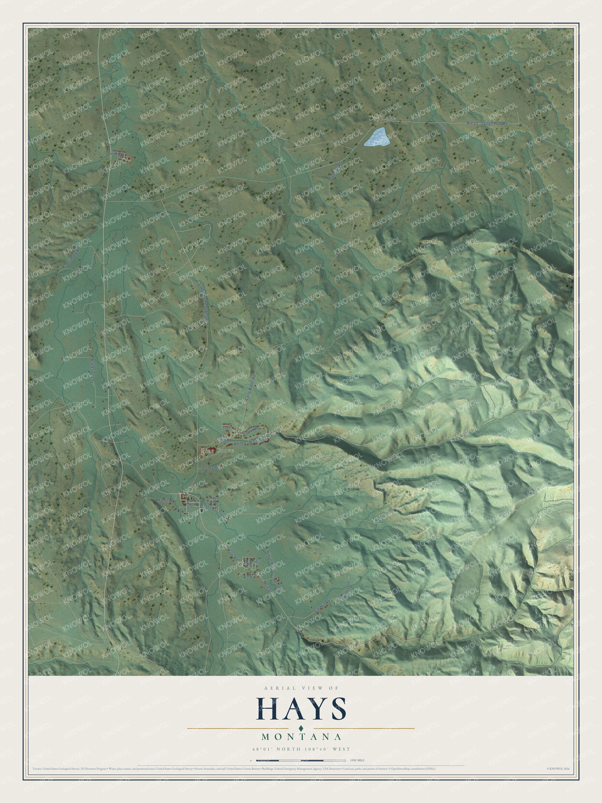
This beautifully detailed map of Hays, Montana was created in 2026 using aerial imagery combined with modern topographical, census, street and landmark data. It's a modern aerial view of Hays in Blaine County, Montana, that combines modern data with a vintage aesthetic. The roads feature printed names, and if you look closely you can find your exact house accurately shown in its correct location.
Explore an aerial view of Hays, Montana
On this map you'll find Pine Grove, Dry Lake, Stevens Street, Hays Road, School Road, White Cow Canyon Drive, Carry Water Road, Star Hill Road, Lodge Pole Road, Main Street, Blackfoot Lane, Owlhead Road, and more. Each red shape is a building, so zoom in on the preview and look for yours.
Here is a piece of Hays history. The Gros Ventre people call themselves the Aaniiih, the White Clay People, because they believed they were made from the white clay found along the river bottoms of their country. Most live at the south end of the Fort Belknap Reservation near the Little Rocky Mountains, where St. Paul's Mission was established near Hays. That's from the Fort Belknap Indian Community.
Hays is a community in Blaine County. The Census Bureau counted 996 people here in 2020.
Take a closer look at the Hays map
Names on this map
These names are printed on this map.
Places: Pine Grove and Dry Lake.
Streets and roads: Stevens Street, Hays Road, School Road, White Cow Canyon Drive, Carry Water Road, Star Hill Road, Route 11, Lodge Pole Road, Main Street, Blackfoot Lane, Owlhead Road, Philmore Road.
More street names, A to Z
Doney Drive, Fifth Avenue, Fox Drive, Gone Lane, Hits Last, Kills at Night Lane, Lodge Avenue, Lodge Pole Cut Across, Martin Drive, Mel Street, Mission Street, Mouse Coulee Road, North Mayor Drive, Old Hays Housing Road, Pine Grove Road, Shambo Loop.
See it on a wall
The Hays map as a framed print. Swipe for more.


Created by KNOWOL in 2026. The buildings are small red shapes, the roads carry their printed names, and shaded relief shows the shape of the land. The title panel reads "AERIAL VIEW OF HAYS, MONTANA" with 48°01' NORTH 108°40' WEST.
It suits a den, a classroom or a front hall, and it makes a gift for anyone with Hays roots. Open the preview and find the block you know. See sizes and frames for the Hays map.