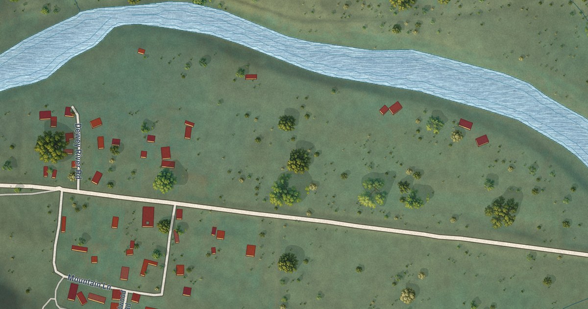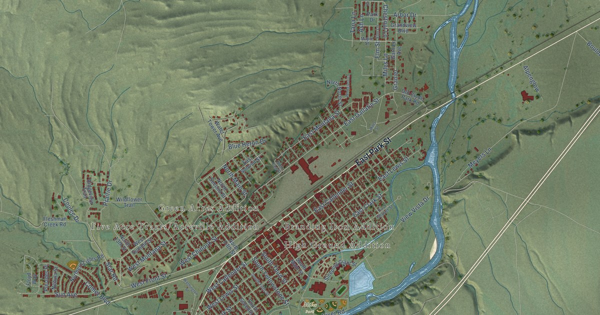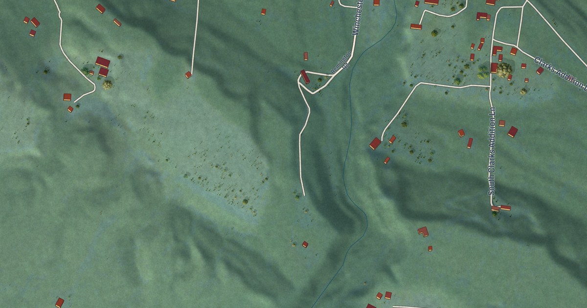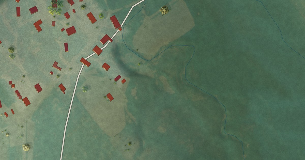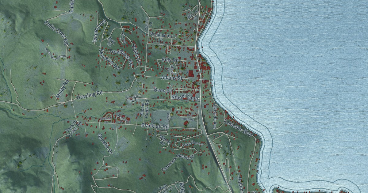
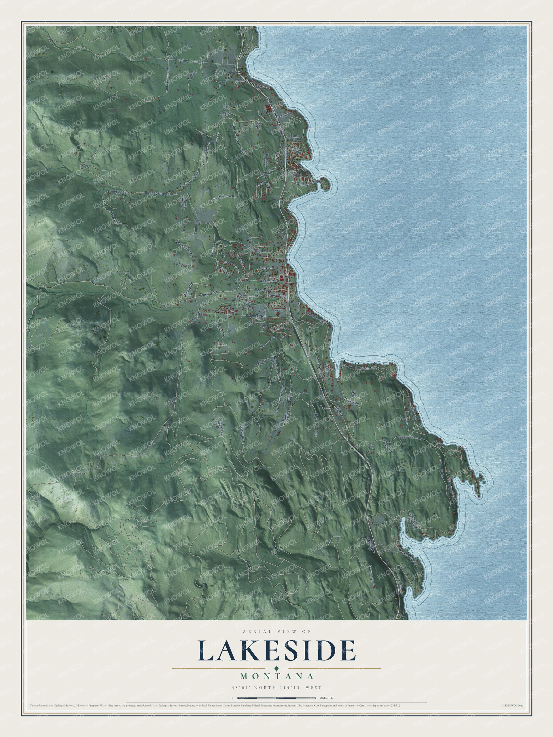
This beautifully detailed map of Lakeside, Montana was created in 2026 using aerial imagery combined with modern topographical, census, street and landmark data. It's a modern aerial view of Lakeside in Flathead County, Montana, that combines modern data with a vintage aesthetic. The roads feature printed names, and if you look closely you can find your exact house accurately shown in its correct location.
Explore an aerial view of Lakeside, Montana
On this map you'll find Grayling Road, Muley Road, Adams Street, Deer Creek Road, Bills Road, Blacktail Heights, Whipps Lane, Bear Canyon Road, Looking East Drive, Bierney Creek Road, Lakeside Boulevard, Blacktail Road, and more. Each red shape is a building, so zoom in on the preview and look for yours.
Lakeside has a story worth telling. Lakeside grew up in 1892 around the business of John J. Stoner, who kept a hotel near the shore of Flathead Lake, and the town was first called Stoner. People wanted the name Lakeside, but a town in Roosevelt County already had it, so they settled briefly on Lacon and took the name Lakeside after that town ended in 1920. That's from the Montana Historical Society.
Lakeside is a community in Flathead County. The Census Bureau counted 2,705 people here in 2020.
Take a closer look at the Lakeside map
Names on this map
These names are printed on this map.
Streets and roads: Grayling Road, Muley Road, Adams Street, Deer Creek Road, Bills Road, Blacktail Heights, Whipps Lane, Bear Canyon Road, Looking East Drive, Bierney Creek Road, Lakeside Boulevard, Blacktail Road.
More street names, A to Z
Angel Point Road, Angel Ridge Road, Archery Road, Bay Court, Bear Mountain Road, Bens Lane, Ben Williams Lane, Bierney Creek Lane, Big Rock Ridge, Blacktail Heights Road, Brass Road, Bravehart Road, Bridger South Road, Caroline Point Road, Clancy Road, Clothier Lane, Cloud Creek Road, Conrad Point Road, Crystal View Court, Deep Bay Drive, Deer Creek Haven, Eagles Crst, Elias Lane, Emils Crest Road, Emils Lane, Grey Owl Lane, High Point Lane, Hilldale Drive, Hughes Bay Road, Island Loop, Jib Lane, Lakeshore Drive, Lakeside Avenue, Lakeview Drive, Lakeview Lane, Last Chance Gulch Road, Little Deer Creek Road, Lone Wolf Trail, Longrider Lane, Lutheran Camp Road, Marco Bay Road, Marco Terrace Road, McFarland Road, Mission Lane, Mission View Drive, Monet Road, Nations Drive, Old US Highway 93, Paxson Trail, Peaceful Lane, Peace Road, Political Hill Road, Ridgeline Drive, Ridgewood Drive, Rimini Road, Ritter Road, Rocky Mountain Drive, Rose Lane, Shelter Cv, Skookum Road, Soren Lane, South Juniper Bay Road, Spar Lane, Spoklie Drive, Spring Creek Road, Spring Creek Trail, Stoner Creek Road, Stoner Loop, Sunny Slope Road, Tacklin Creek Road, Tamarack Terrace Road, Tamarack Woods Drive, Timber Rock Road, Trapper Ck West, Trappers Ck East, Troutbeck Road, Walker Lane, Woodacres Drive, Woodyard Drive, Wulfe Lane, Wulf Way.
See it on a wall
The Lakeside map as a framed print. Swipe for more.


Created by KNOWOL in 2026. The buildings are small red shapes, the roads carry their printed names, and shaded relief shows the shape of the land. The title panel reads "AERIAL VIEW OF LAKESIDE, MONTANA" with 48°01' NORTH 114°13' WEST.
It looks right in a kitchen, an office or a den, and it's a gift for anyone who grew up in Lakeside or moved away. Open the preview and find your street. See sizes and frames for the Lakeside map.