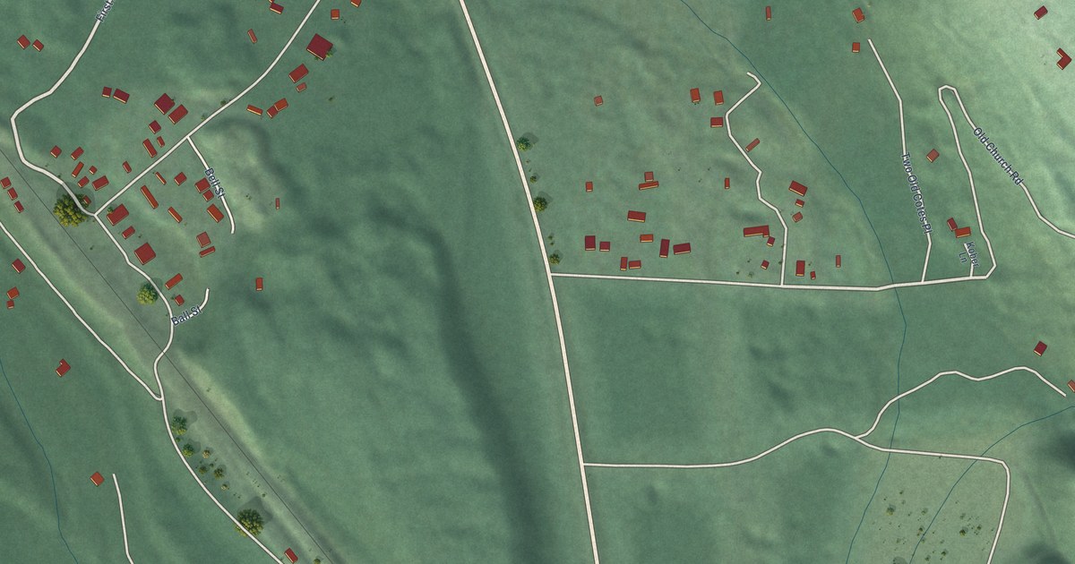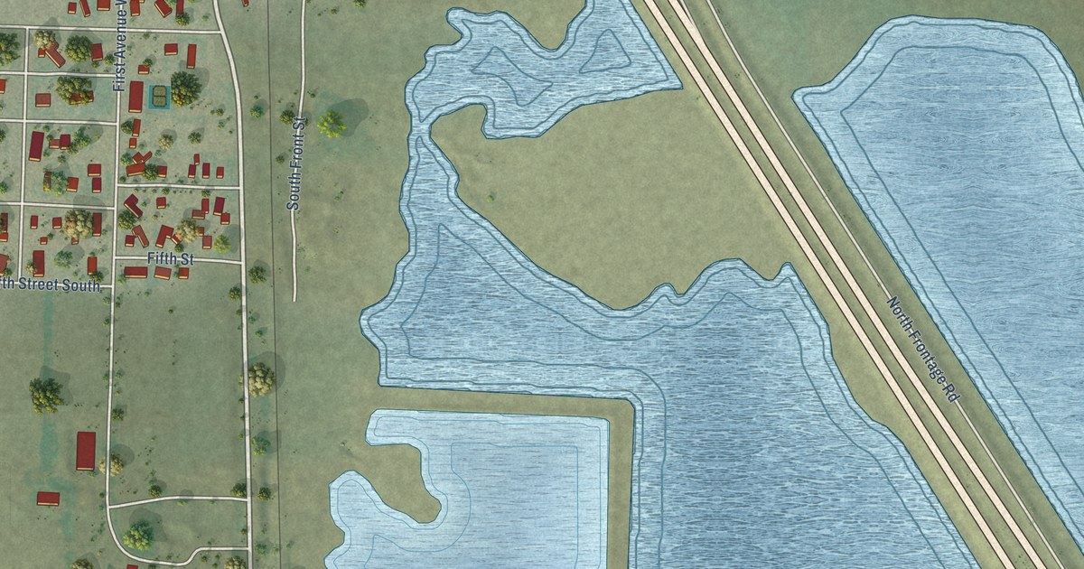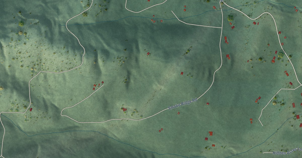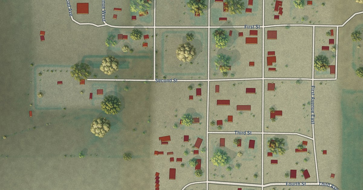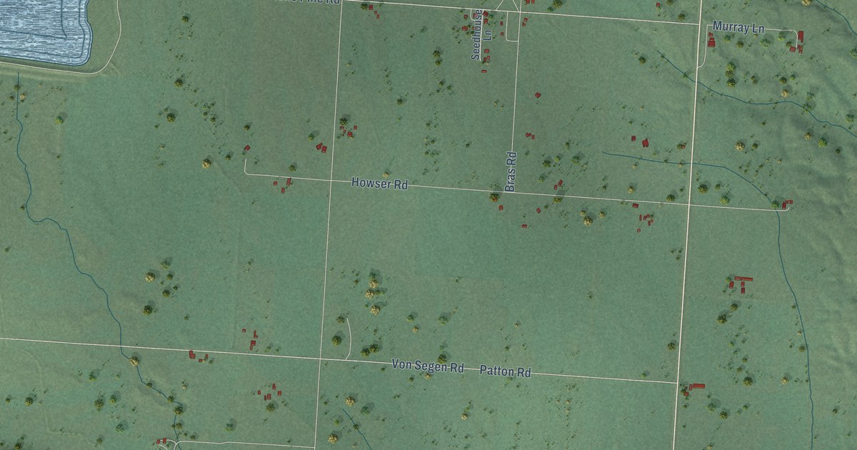
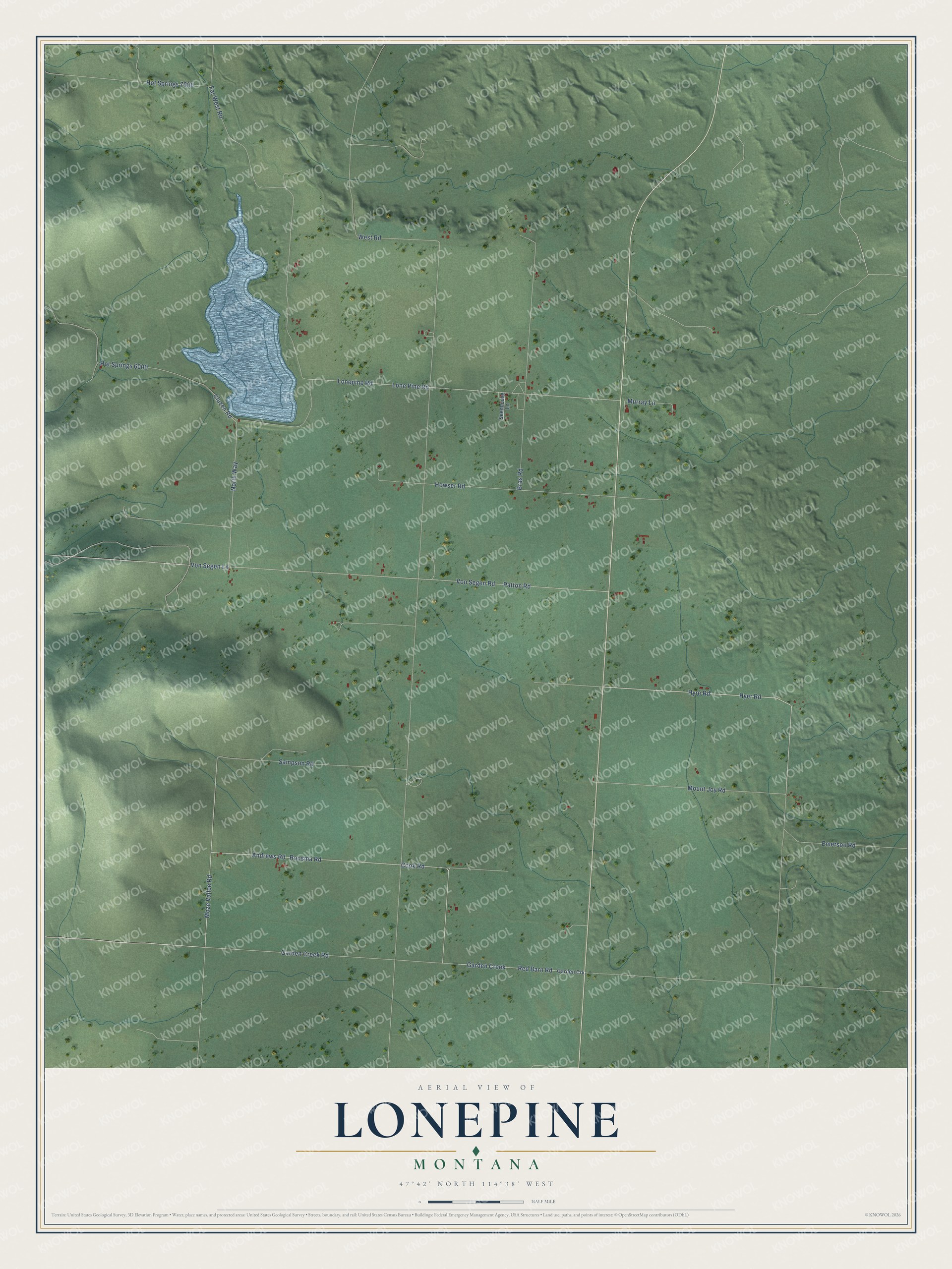
This beautifully detailed map of Lonepine, Montana was created in 2026 using aerial imagery combined with modern topographical, census, street and landmark data. It's a modern aerial view of Lonepine in Sanders County, Montana, that combines modern data with a vintage aesthetic. The roads feature printed names, and if you look closely you can find your exact house accurately shown in its correct location.
Explore an aerial view of Lonepine, Montana
On this map you'll find Moze Vallee Road, Andrews Road, Hyer Road, Hyre Road, Cook Road, West Road, Von Segen Road, Patton Road, Far West Road, Lone Pine Road, Lonepine Road, Hot Springs 6000, and more. Each red shape is a building, so zoom in on the preview and look for yours.
Lonepine has a story worth telling. Lonepine got its name from William Whiteside, a Canadian immigrant and the first postmaster, who named the settlement for the solitary tree that stood next to his log store and house. The post office opened in 1911, and from the 1910s on Lonepine kept its own school and community hall. Before then, ranching ruled the Little Bitterroot River Valley, where the McDonald family, kin of Angus McDonald of the Hudson's Bay Company, ran the biggest ranch. That's from the Montana Historical Society.
Lonepine is a community in Sanders County. The Census Bureau counted 177 people here in 2020.
Take a closer look at the Lonepine map
Names on this map
These names are printed on this map.
Streets and roads: Moze Vallee Road, Andrews Road, Hyer Road, Hyre Road, Cook Road, West Road, Von Segen Road, Patton Road, Far West Road, Lone Pine Road, Lonepine Road, Hot Springs 6000.
More street names, A to Z
Bras Road, Cluzen Road, Emerson Road, Garden Creek, Garden Creek Road, Garden Crk, Hot Springs 7000, Howser Road, Mount Joy Road, Murray Lane, North Way, Red Barn Road, Roosma Road, Sampson Road, Seedhouse Lane, Von Segen Lane.
See it on a wall
The Lonepine map as a framed print. Swipe for more.


Created by KNOWOL in 2026. The buildings are small red shapes, the roads carry their printed names, and shaded relief shows the shape of the land. The title panel reads "AERIAL VIEW OF LONEPINE, MONTANA" with 47°42' NORTH 114°38' WEST.
It looks right in a kitchen, an office or a den, and it's a gift for anyone who grew up in Lonepine or moved away. Open the preview and find your street. See sizes and frames for the Lonepine map.